2023 Conference Resources
Improving Resilience in the Pacific Islands Through GIS and Remote Sensing
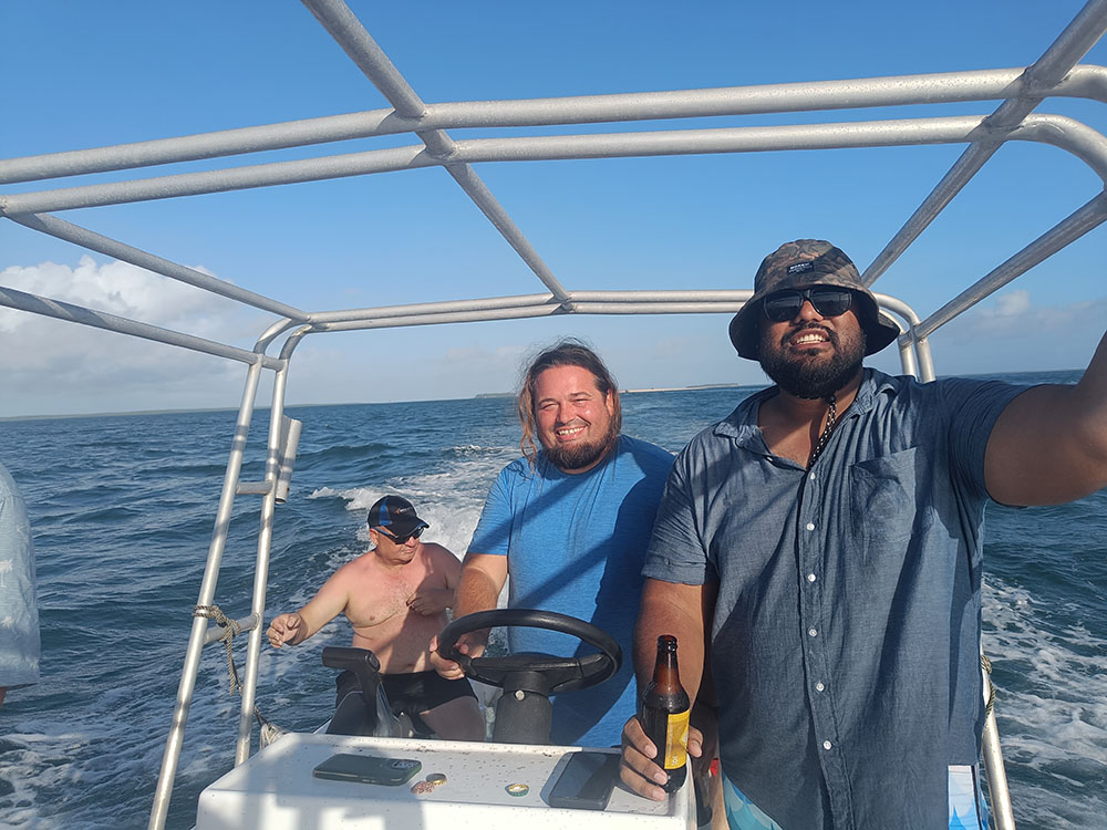
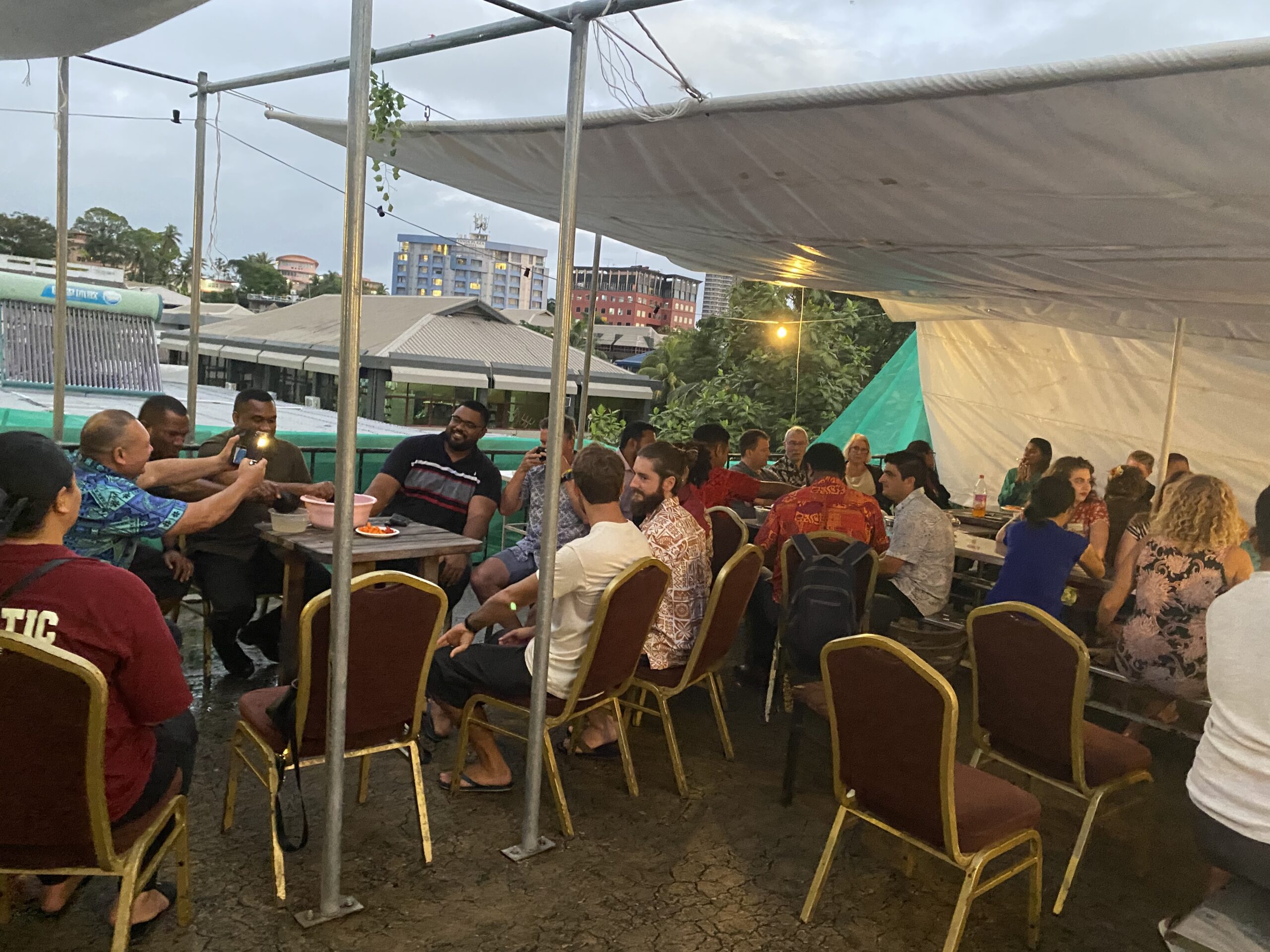
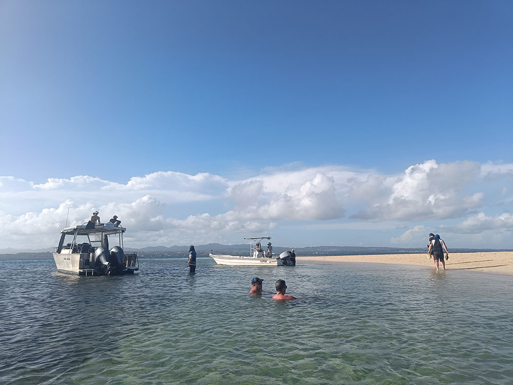
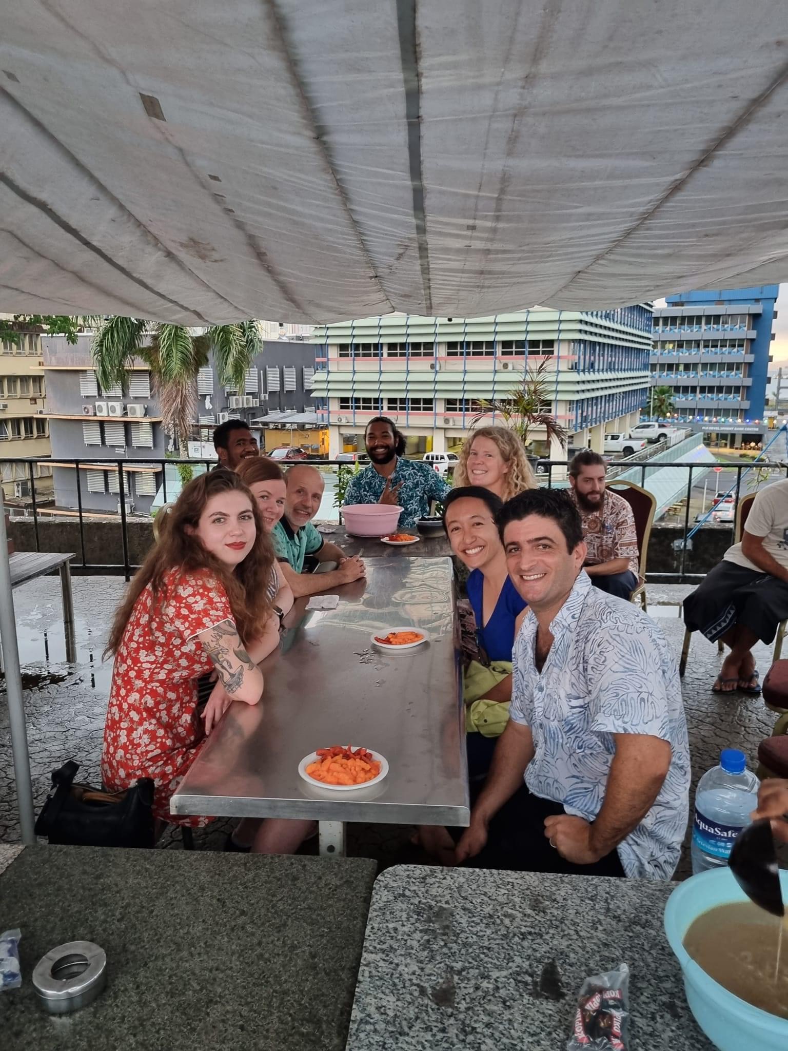
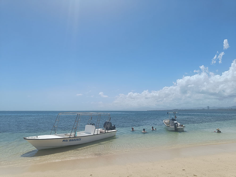
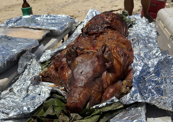
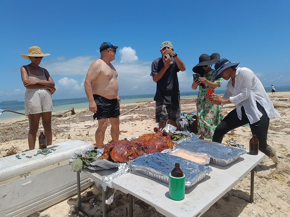
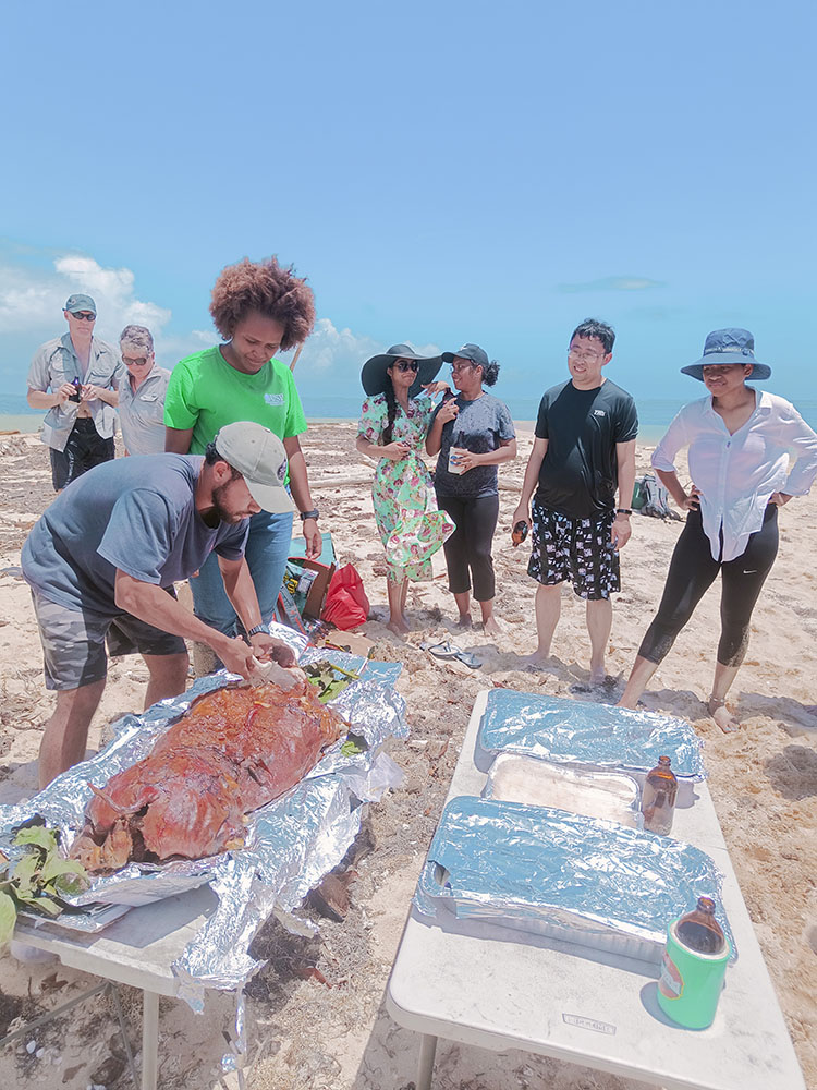
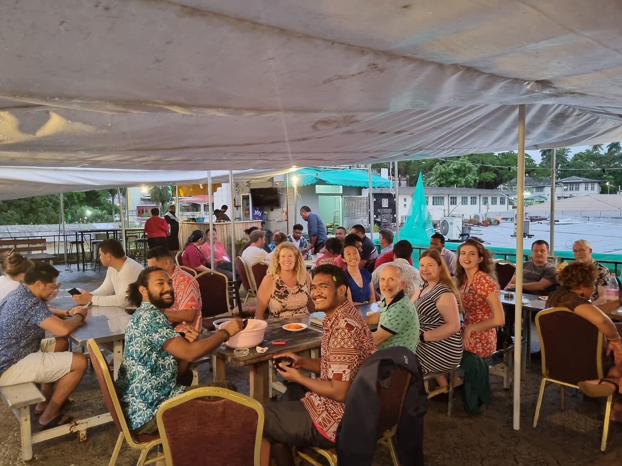
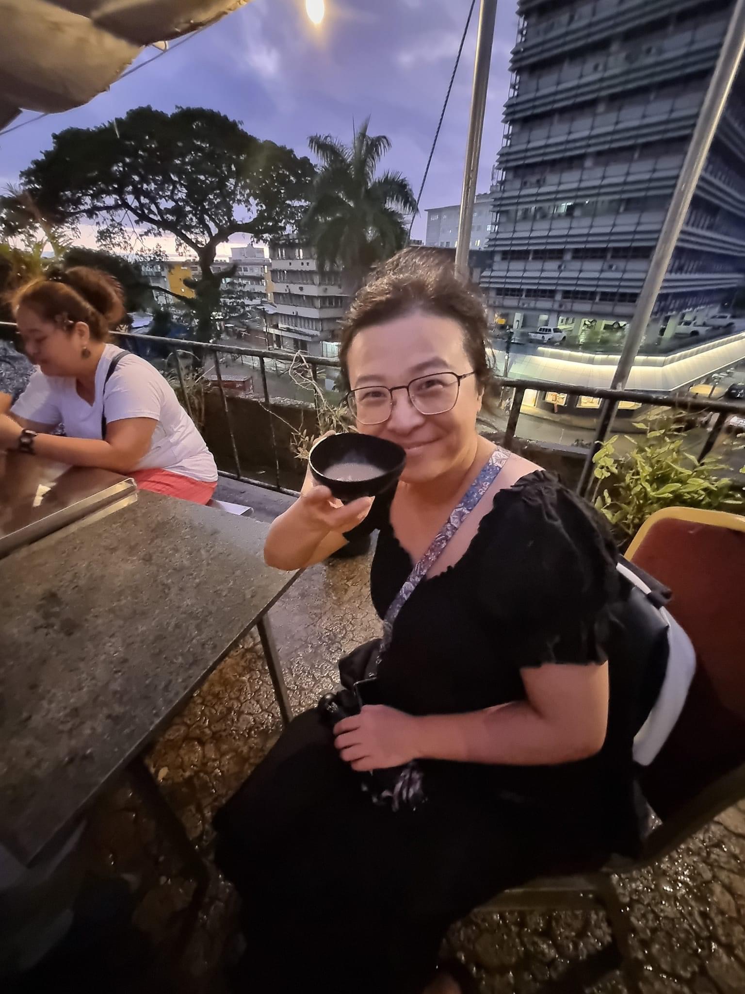
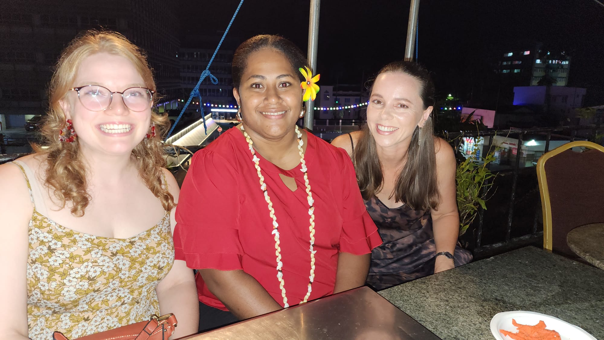
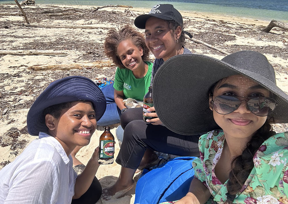
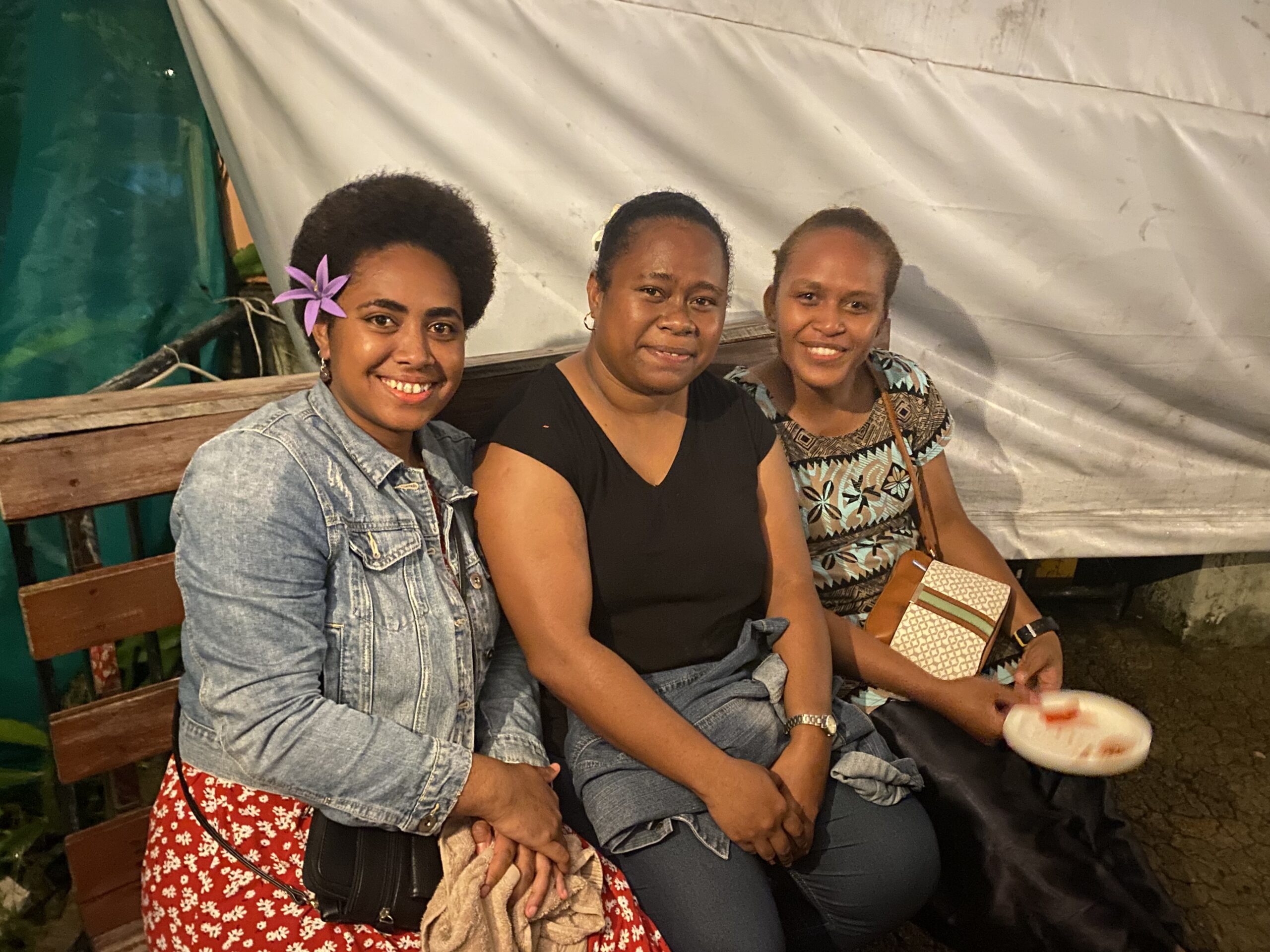
Conference Highlights
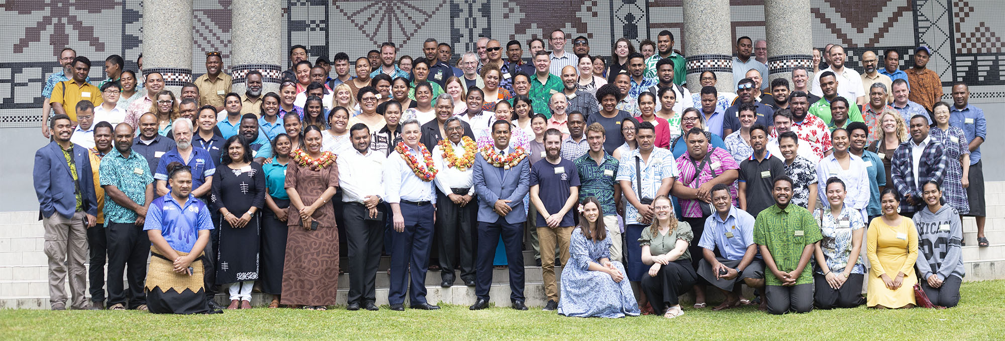
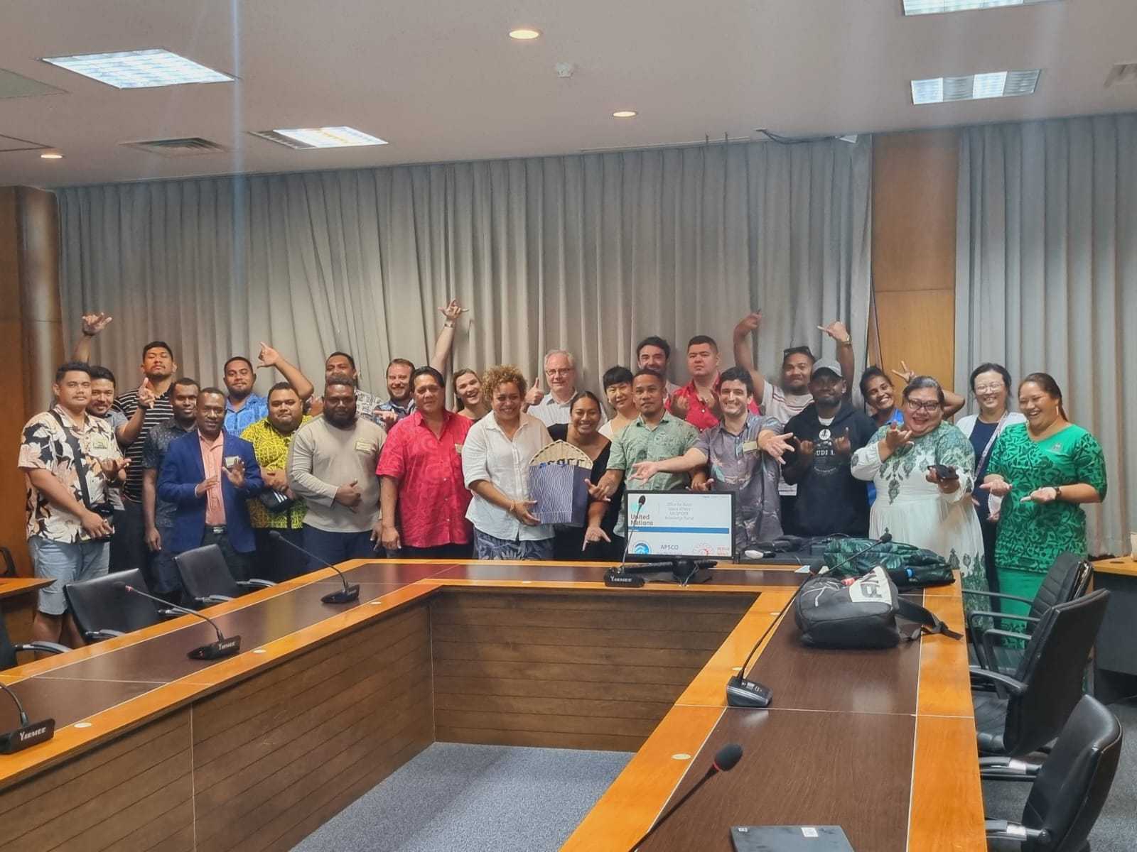
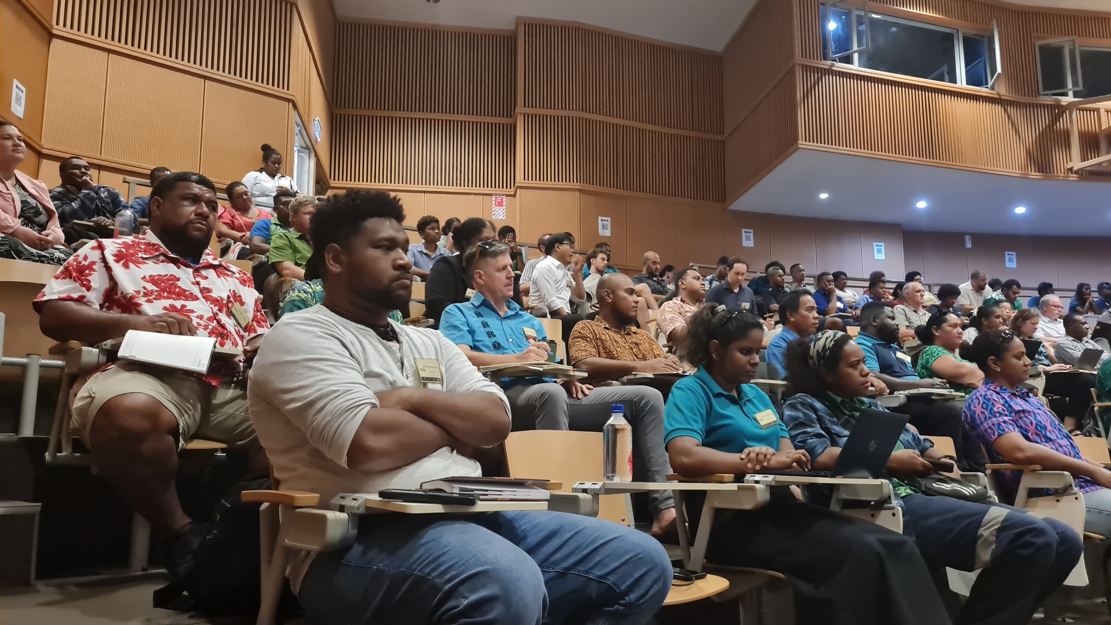
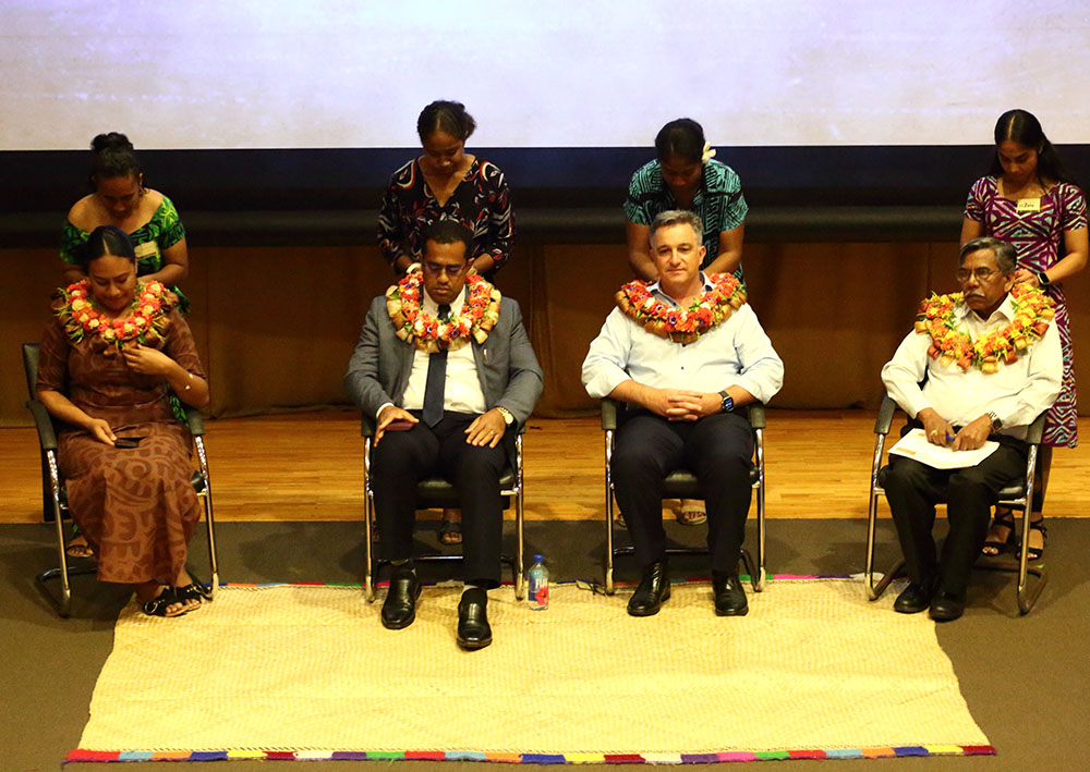
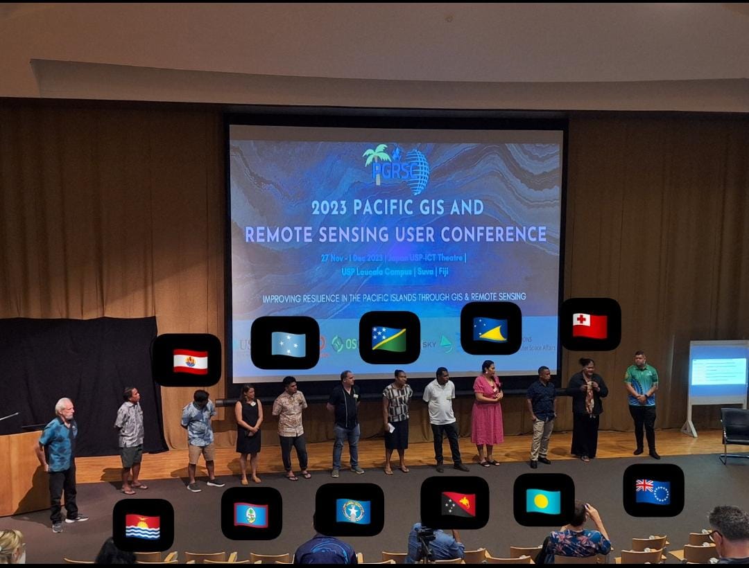
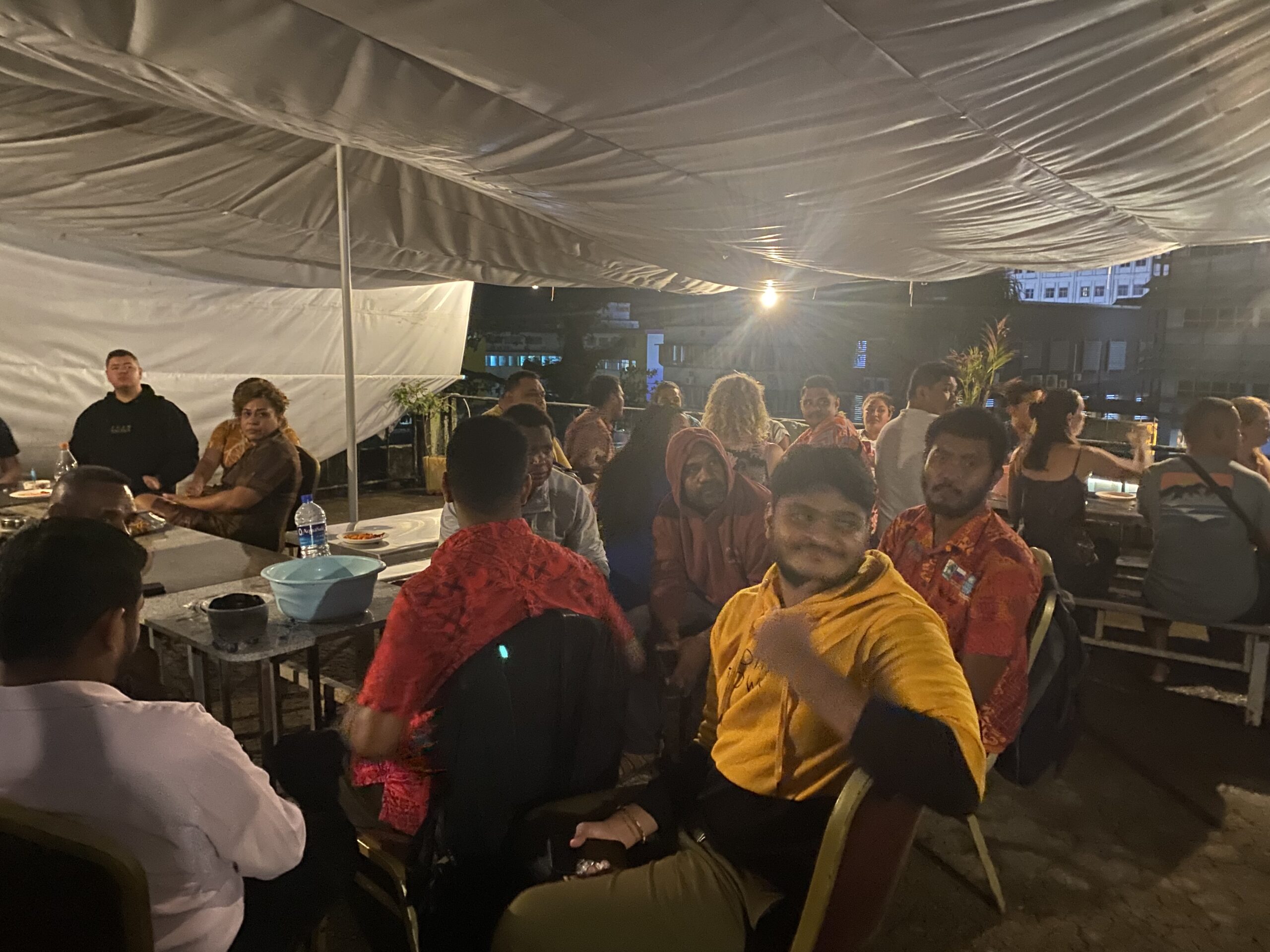
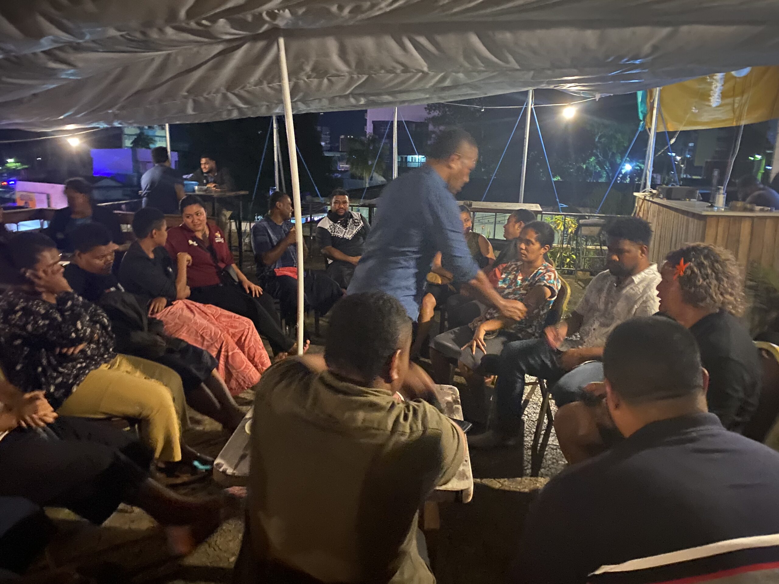
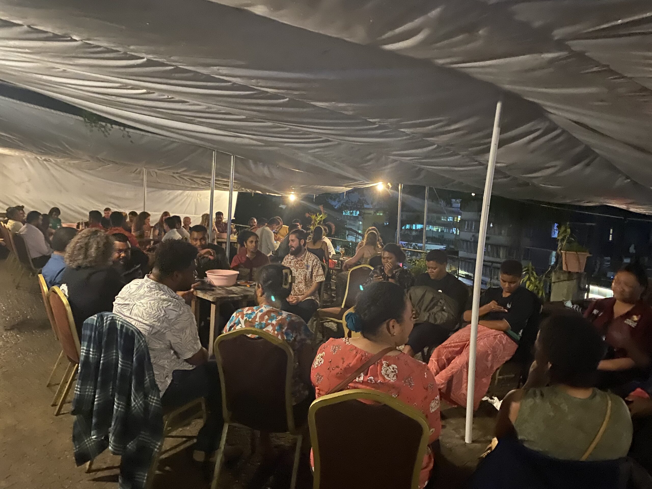
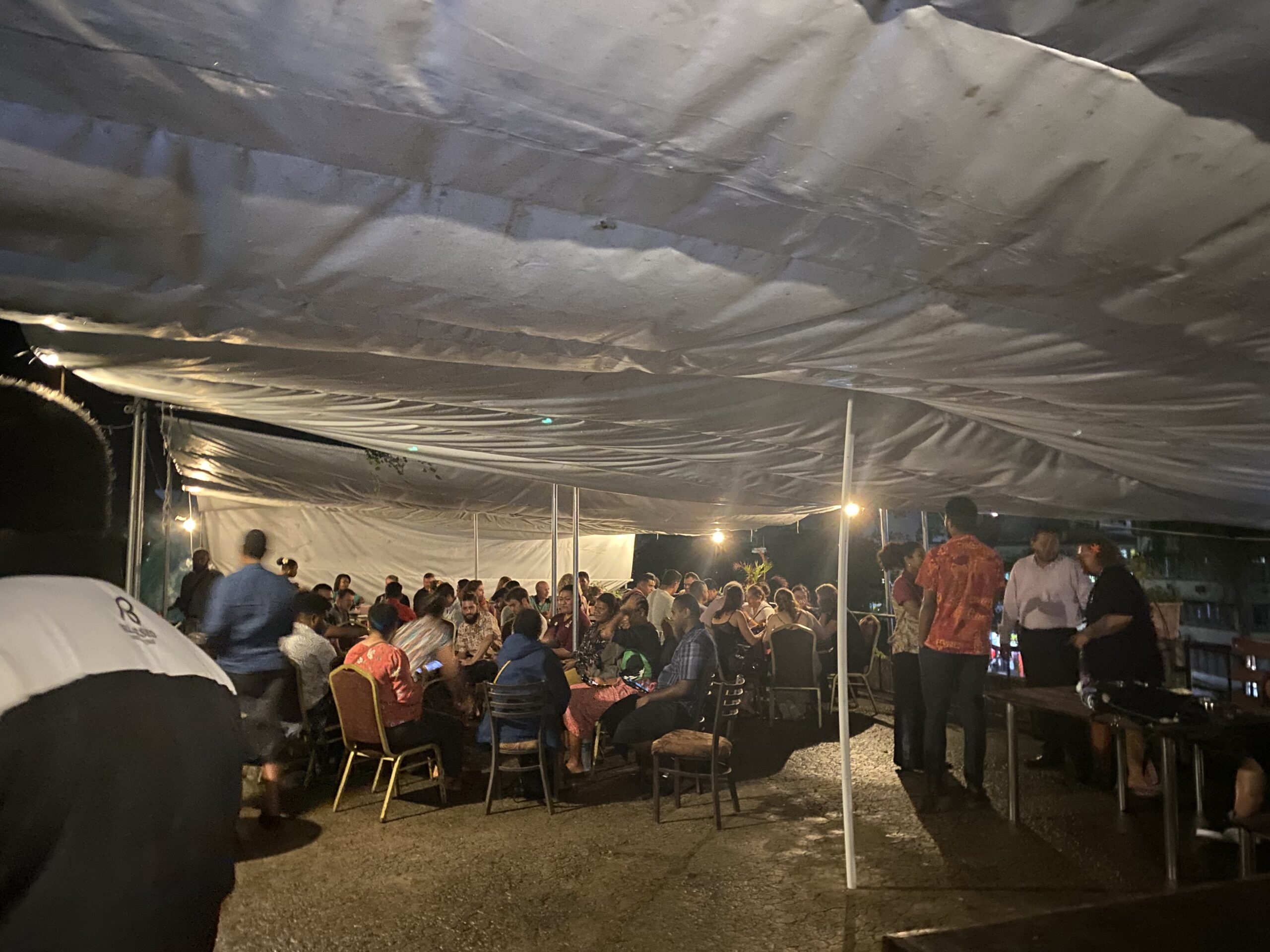
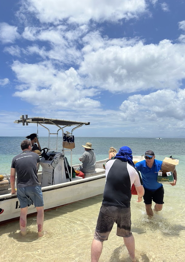
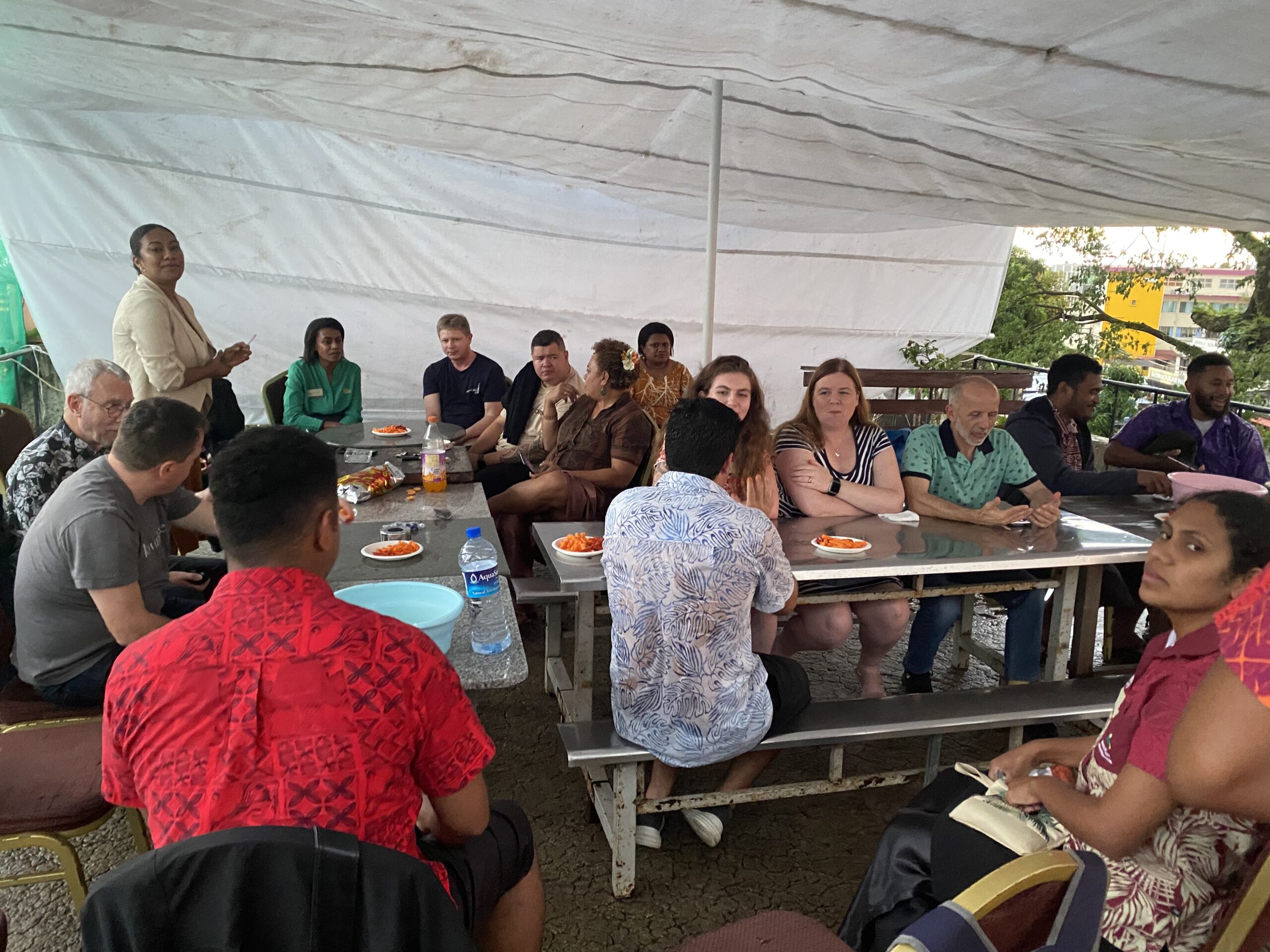
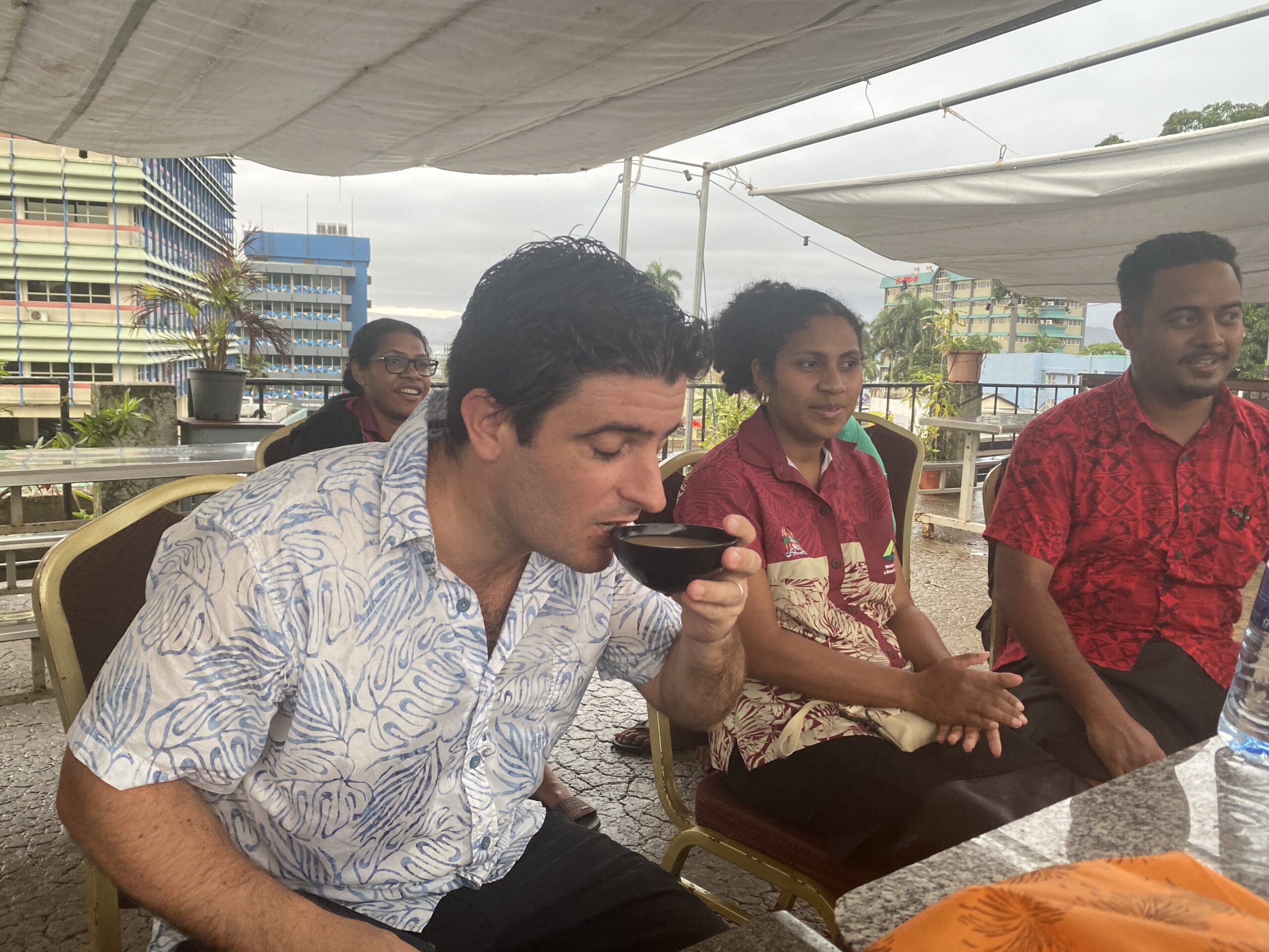
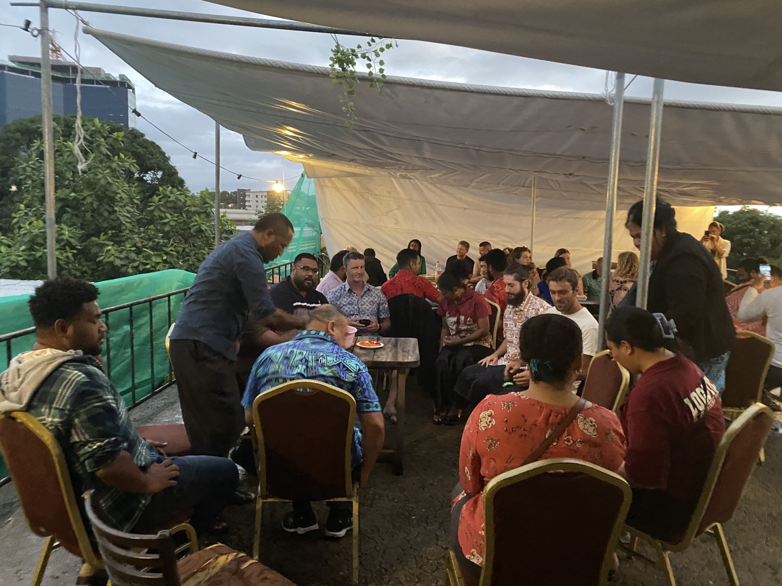
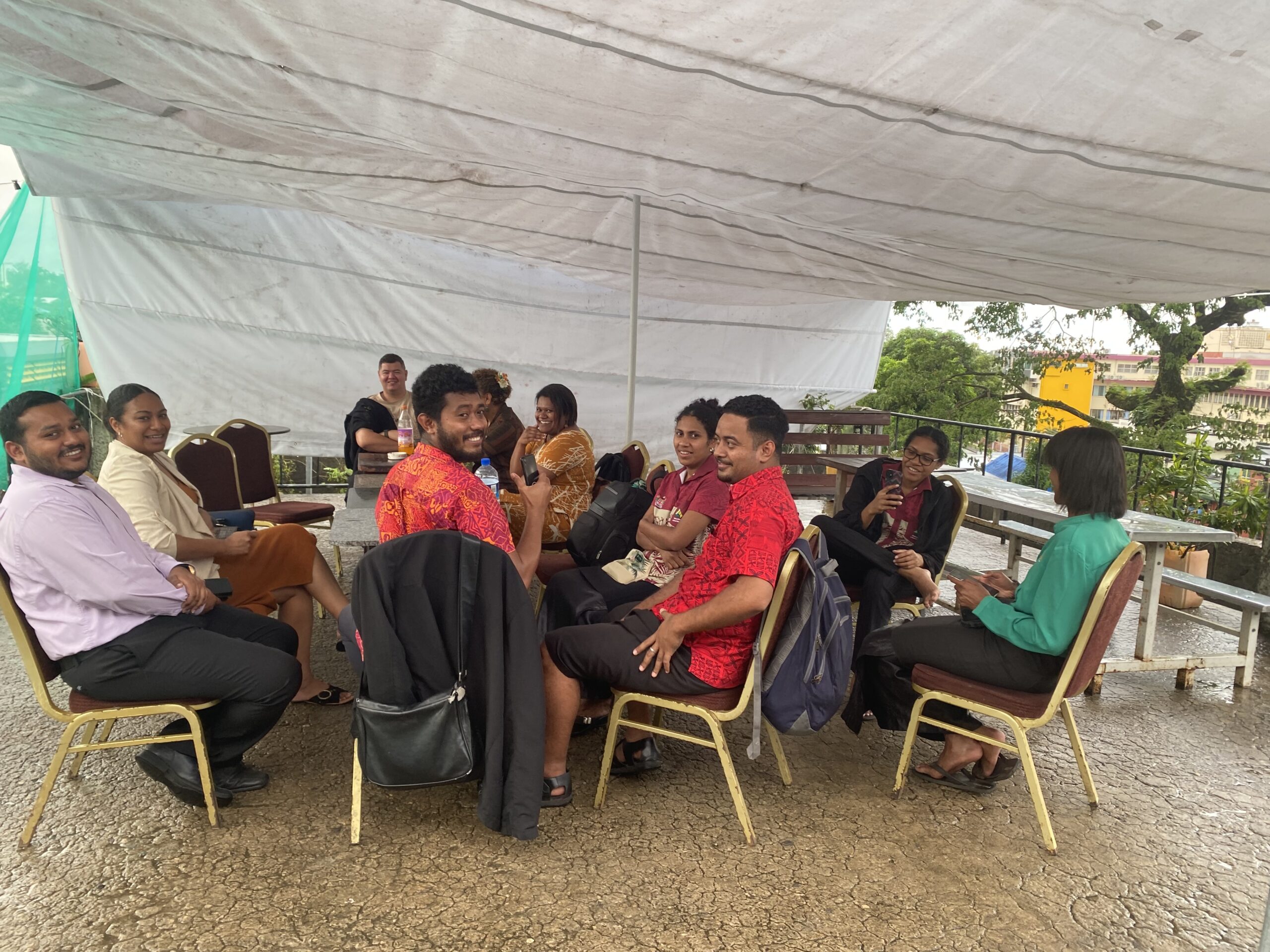
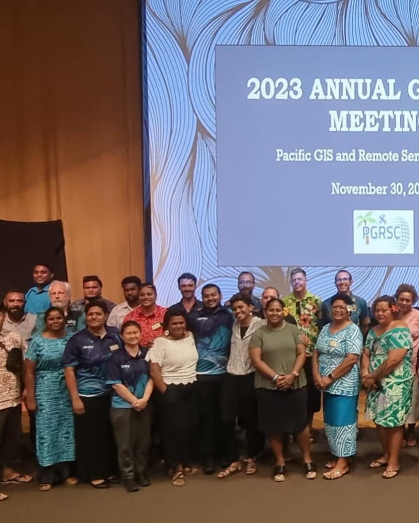
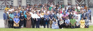
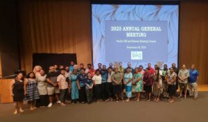
The 2023 Conference brings together more than 250 participants from around the world. 16 Pacific Island countries and territories were represented and PGRSC National Focal Points had the opportunity to highlight in-countires activities around GIS and Remote Sensing.
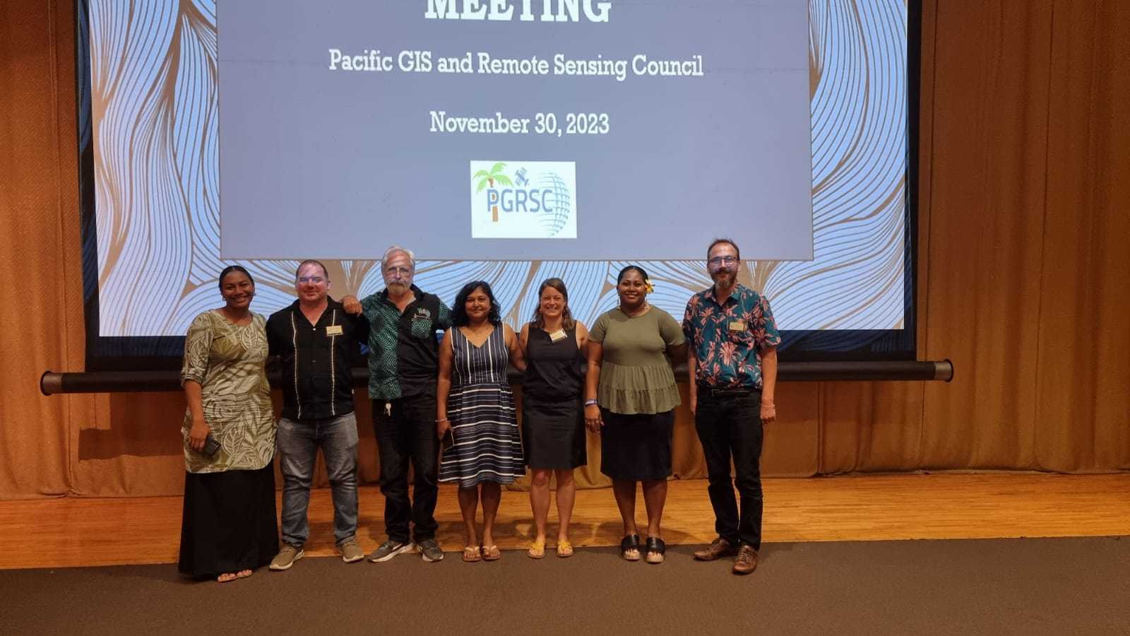
The 2023 conference was honored to host a serie of ESRI special sessions during one full day.
Key indicators

250 Participants from 22 countries and 16 Pacific Island Countries and Territories represented

63 Presentations

6 workshops, National Focal Points lightening talks and 14 thematic sessions
Conference sponsors
Founding Sponsors
Sponsor

Sponsor
No Caption Available
No Caption Available
Cocktail sponsor

Sponsors
HOT
Travel Grant Sponsor

Poster competition Sponsor
Day 1 Presentations
| Speaker | Title | Download | |
|---|---|---|---|
| Session Leader: Brad Eichelberger | Session 1 – Opening – | ||
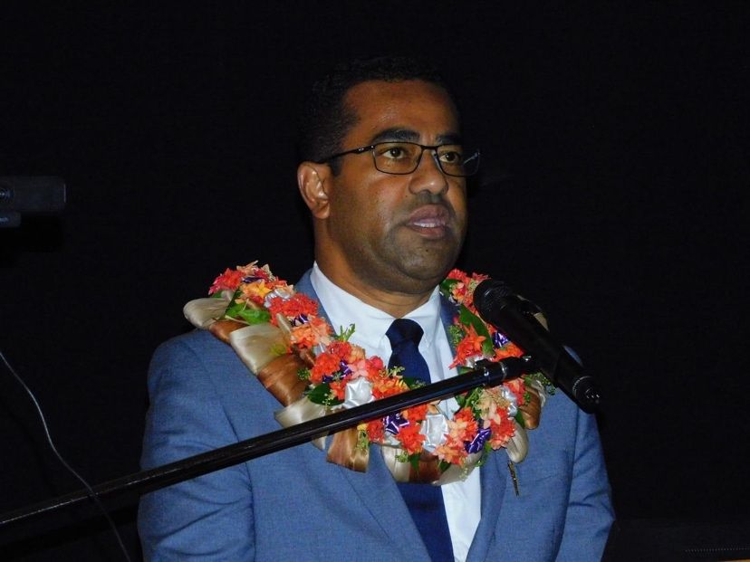
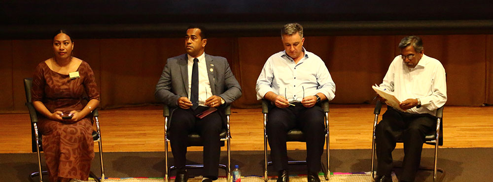
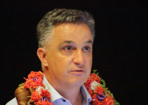
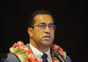 | Minister Fiji | Conference Opening | VIEW |
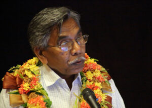 | Surendra Prasad | Welcome | |
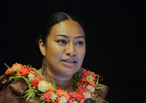 | Salote Viti | Welcome | |
 | Simon Hill | Welcome | |
| Wolf Forstreuter | Conference Overview | ||
 | ————————- | Conference Photo | |
| Session Leader: Maria Kottermair | Session 2 – Organisations and Companies – | ||
 | Stewart Walker | The Role of ISPRS and The ISPRS Foundation in the Pacific | DOWNLOAD |
 | Bridget Seegers | NASA Earth Observations to investigate our (water) world | DOWNLOAD |
 | Angela Manchester | HEXAGON Software for Pacific Remote Sensing Applications | DOWNLOAD |
 | Maurice Borer | Blacksky: Disrupting new space with real-time dynamic monitoring | Emergency Response Imaging | DOWNLOAD |
 | Sachindra Singh | Digital Earth Pacific: Utilising Regional-Scale Earth Observations for Monitoring Terrestrial and Coastal systems | DOWNLOAD |
 | Session Leader: Dolores Leneuoti | Session 3 – RS-Data and UAV – | |
 | Rémi Andreoli | Earth Observation for Pacific Island countries: a question of resolution | DOWNLOAD |
 | Simon Morris | New generation sensors for VTOL drones | DOWNLOAD |
 | Lóránt Czárán | The UN-SPIDER Programme – Facilitating Access to Satellite Technologies and Data for Disaster Risk Reduction and Early Warning | DOWNLOAD |
 | Hamish Clarke | Trimble data collection technologies | DOWNLOAD |
 | Halalilika Etika | Country Action Plan on Strengthening Integrated Geospatial Information Management | DOWNLOAD |
| ————– | Session Leader: Halalilika Etika | Session 4 – Disaster – | |
| Matthew Gardner | Optical Bathymetry (UAV & Satellite) – Generating accurate underwater elevation models from aerial and satellite imagery | VIEW |
 | Shaun Williams | Applying Coastal Flood Risk Information in Climate and Disaster Adaptation Planning: Examples from Aotearoa New Zealand, Nauru, and Samoa | DOWNLOAD |
 | Newton Muhury | Modelling floodplain vegetation responses to surface water availability usingremotely sensed data in southeast Australia | DOWNLAOD |
 | Pierre Audisio | Monitoring the state of mangrove in the pacific | DOWNLOAD |
| Janeth Fule | From Space to Resilience: How Agile Aerospace Advances Disaster Management | VIEW |
Day 2 Presentations
| Speaker | Title | Download | |
|---|---|---|---|
| Eagle Technology | GIS — Creating the World You Want to See | DOWNLOAD |
 | Simon Hill | Pacific GeoPortal | DOWNLOAD |
 | Maria Tuoro | Storymap of the Marae Moana | |
 | Gander Wainigolo | Rarotonga Coastal & Flood Hazard Mitigation Data Collection (LiDAR) | DOWNLOAD |
 | Stephano Rampling-Tou | Emergency Management Cook Islands Office of the Prime Minister | DOWNLOAD |
  | Eagle Team | ArcGIS System – Technology Update | |
 | Titie Kaufusi | Using GIS & RS Application for Implementation of Sustainable Quarry Mining in Tonga | DOWNLOAD |
| Kolora Qativi | FPL operations using SiteScan | |
 | Meizyanne Hicks | Fiji Lands Journey on Geospatial Development | DOWNLOAD |
 | Salote Baleisuva | Ministry of Health | DOWNLOAD |
| Eagle Technology | Wrap up and closing | DOWNLOAD |
Day 3 Presentations
| Speaker | Title | Download | |
|---|---|---|---|
 | ————————- | Session 1 – Mapping Session Leader: Yoann Roncin | |
| Thibault Valentin | Copernicus Assisting Pacific Island Countries | DOWNLOAD |
 | Kasaqa Tora | Mapping the Future: Enhancing Resilience in Pacific Islands’ Protected Areas with GIS and Remote Sensing | DOWNLOAD |
 | Angela Manchester | Google Earth Engine and ERDAS IMAGINE: the new collaboration in spatial modeller leading remote sensing | DOWNLOAD |
 | Charlie Morris | Vanuatu Village Registry is the list that could change everything | DOWNLOAD |
 | Randy Hamilton | Development of Fiji’s National Land Use and Land Cover Monitoring System | DOWNLOAD |
 | ————————- | Session 2 – Forestry – Session Leader: Xiao-Hu Faerua | |
 | Shyam Lodhia | MACBLUE: Mapping & Monitoring the Extent of Seagrass and Mangrove Ecosystems through Cloud Computing. | DOWNLOAD |
 | Richard Russell | Wild Fire Detection and Monitoring from Space | DOWNLOAD |
 | Paul Peterson | Remote sensing for monitoring invasive weeds and impacts of introduced natural enemies in Pacific Islands. | DOWNLOAD |
| Sam West | Mobile LiDAR Scanning, a Forestry Application including the Understory | |
 | Bradley Eichelberger | Monitoring vegetation health and recovery following typhoon events in the Northern Mariana Islands. | |
 | ————————- | Session 3 – Maritime and Environmnt – Session Leader: Jewel Tuitama | |
 | Bridget Seegers | A sea of data with PACE | DOWNLOAD |
 | Joy Papao | Utilisation of GIT for Climate Resilience in the Pacific. | DOWNLOAD |
 | Chan-Su Yang-Su | Satellite Application Algorithms for Coastal and Marine Spatial Planning in the Pacific Island Countries: A Case Study in Funafuti, Tuvalu | DOWNLOAD |
 | James Battersby | Enhancing Resilience to Pluvial Flooding in Pacific Island Nations: A Novel Approach to Rapid Rainfall Modelling and Risk Assessment. | DOWNLOAD |
 | Andrea Jalandoni | State of the art: Digital Methods for Rock Art Research in 2023 | |
 | Sree Juwel Kumar Chowdhury | Extraction of Coastline and Land-Use Mapping from High- resolution Satellite Imagery: Funafuti Atoll in Tuvalu | |
 | ————————- | Session 4 – Maritime – Session Leader: Jewel Tuitama | |
 | Cecile Dupouy | A review of ocean color algorithms to detect Trichodesmium oceanic blooms and quantify chlorophyll concentration in shallow coral lagoons of South Pacific archipelagos | DOWNLOAD |
| Rose Pearson | A standardised approach to generating 5m DEMs of countries across the Pacific | DOWNLOAD |
 | Dae-Woon Shin | Overview of ‘application of Multisensory Remote Sensing for Controlling Illegal, Unreported, and Unregulated (IUU) Fishing Activities’ Project | DOWNLOAD |
 | Sovaia Seru | All piped water is not created equal – harnessingdiverse spatial datasets to support risk-informed decision-making for better WASH services in underserved urbansettlements. . | DOWNLOAD |
Day 4 Presentations
| Speaker | Title | Dowload | |
|---|---|---|---|
| ————— | ————————- | Session 1 – Women in GIS and Remote Sensing | |
| Salote Viti | Keynote: Women in Geospatial | DOWNLOAD |
    | ———– ———– | Panel Discussion: Maria Tuoro, Kolora Qativi, Veniana Wainiqolo, Arti Pratap Moderator: Salote Viti | |
    | ———– ———– | Lightning Talk (4 talks at 5mins each) Joy Papao, Turia Bokai, Ofa Masiwawa, Salote Coyvilati | DOWNLOAD |
| ————— | ————————- | Session 2 – Different Thematics Session Leader: Johny Tarry Nimau | |
 | Focal Points | GIS&RS in Pacific Island Countries. Lightening Talks PGRSC Focal Points | |
 | Elisa Toroca | Improving Resilience in the Pacific Islands Through GIS and Remote Sensing. | |
 | Elisa Puccioni | The State of OSGeo Oceania | DOWNLOAD |
 | Eleanor Earl | Investigating remote sensing datasets to model natural flood management options in the Ba River catchment, Viti Levu. | DOWNLOAD |
 | Joeli Varo | DRR and Multi – Hazard Zonation of Fiji: A case study of the Yavusa Navakavu. | DOWNLOAD |
 | Maria Kottermair | Measuring 3D shoreline changes of Ulithi Atoll, Micronesia | |
 | ————————- | Session 3 – Environment – Session Leader: Tiaotin Enari | |
 | Morgan Marshall | Late Island, Tonga rodent eradication | DOWNLOAD |
 | James Sturman | Integrating GIS map products within the Climate Data for the Environment Services Client (CliDEsc) Climate Information System | DOWNLOAD |
 | Mathis Neuhauser | An Operational Vegetation Drought Processing Chain based on Google Earth Engine satellite imagery and meteorological products | DOWNLOAD |
 | Aaron Hick | Building resilience through a sustainable and coordinated capacity building approach | DOWNLOAD |
| ————— | ————————- | Session 4 – Mapping and Environment (Session Leader) | |
  | Lanieta Rokotuiwakaya | Developing geospatial maturity in Fiji: a strategic approach. | DOWNLOAD |
 | Rhiannan Mundana | Building Resilience in Communities in response to Climate Change Impacts – A Socio-Spatial Approach Focused on Vulnerable Populations | |
 | Malakai Tadulala | Resilient Mapping of Low-Localised Groundwater Resources Potential in Nadi, Viti Levu Island, Fiji using The Art of Remote Sensing, Geospatial Techniques and GIS-Artificial Intelligence (Machine Learning) | DOWNLOAD |
 | Joshua Turia | Leveraging open sourced tools for effective monitoring and data mamangement of Natural Resources in PNG | |
| ————————- | ————————- | Closing Ceremony | |
 | Brad Eichelberger | PGRSC AGM (PGRSC members only) | AGM Report (restricted access) |