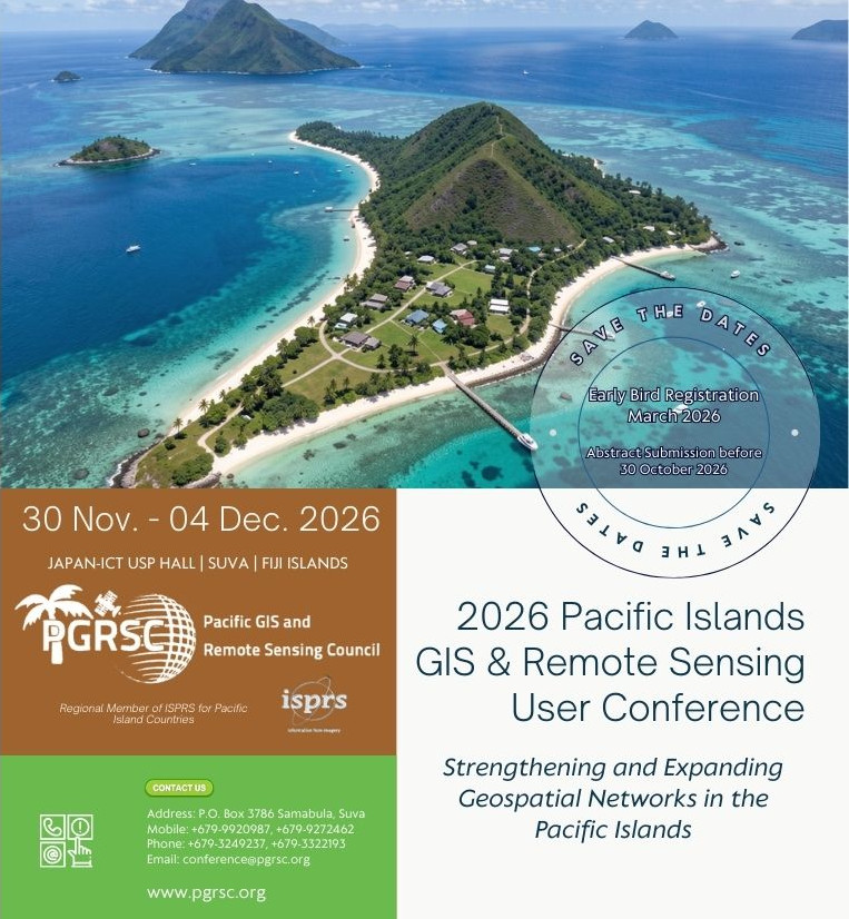
2026 Pacific Islands GIS & Remote Sensing User Conference
The 2026 Conference Theme:
“Strengthening and Expanding
Geospatial Networks in the
Pacific Islands”
30 Nov. – 04 Dec. 2026
JAPAN-ICT USP HALL | SUVA | FIJI ISLANDS
2026 Conference Sponsors:
Registration
Registration
Abstract submission

Abstract submission
Venue

Conference Venue
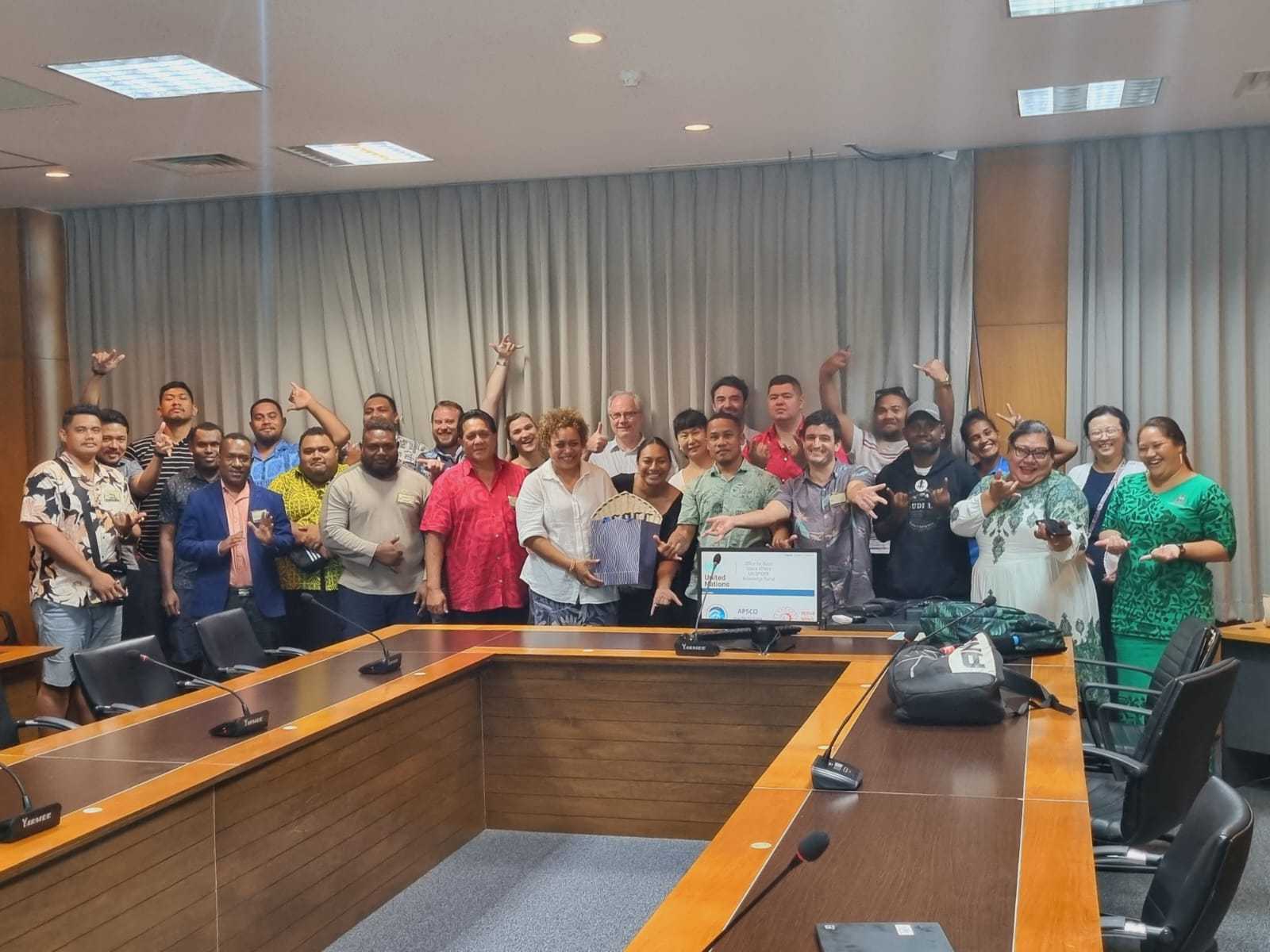
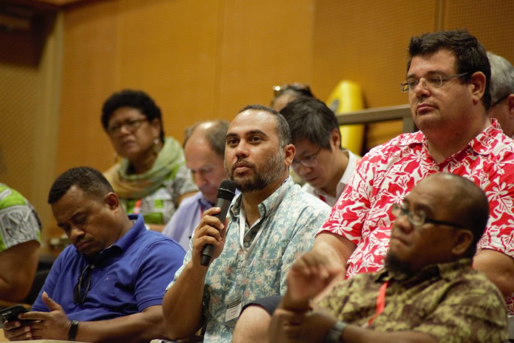
Latest News from PGRSC
PGRSC
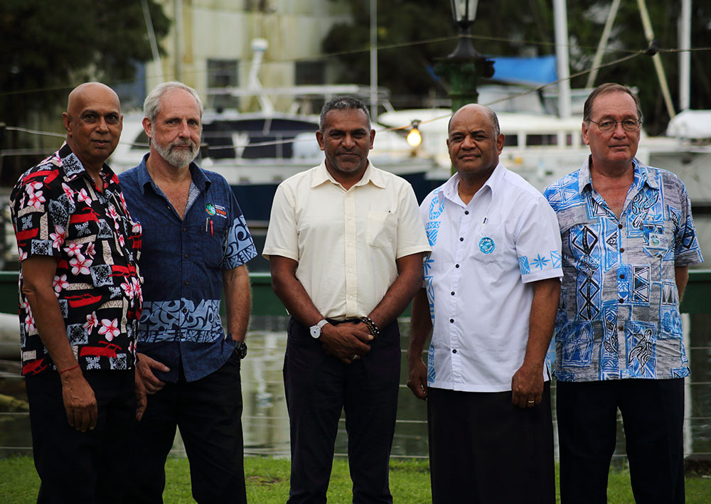
PGRSC is a Council established in March 2018 by – From left to right – (L-R) Rajendra Singh, Wolf Forstreuter, Hon. Minister Koya, Malakai Finau and Russell Howorth. Based on a history of more than 30 years, PGRSC brings together professionals, students, researchers and experts in the fields of GIS and Remote Sensing in the Pacific.
CONFERENCE
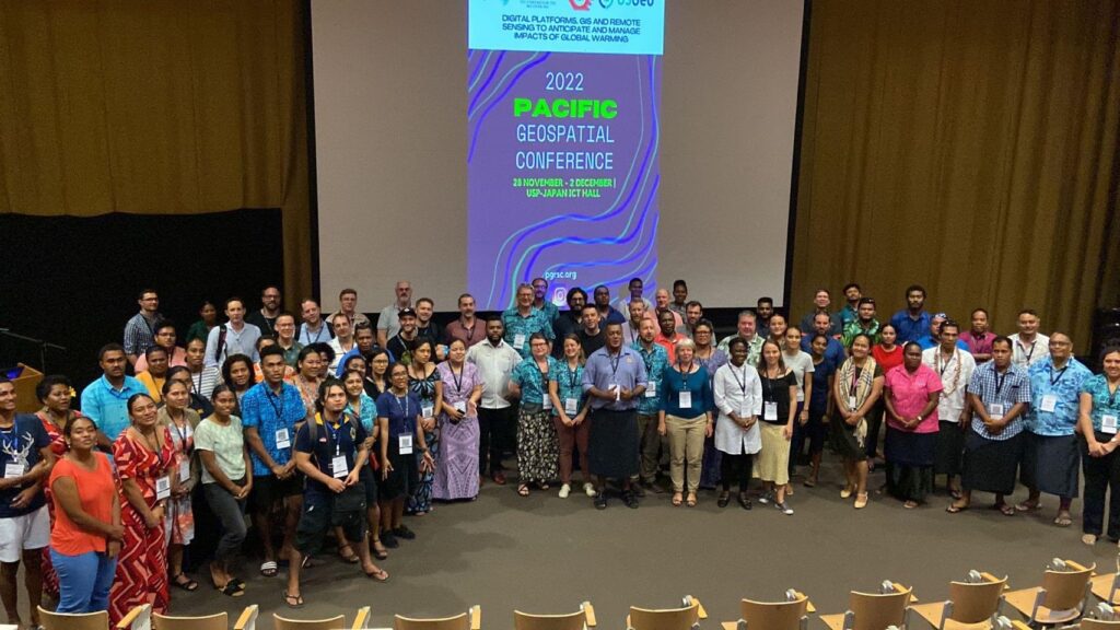
The University of the South Pacific and the Fiji Lands Department jointly held the first two day National GIS Conference in 1998. This later became the Pacific Islands GIS & RS User
Conference in 2004 to cater to the growing interest in the Pacific region.
Today, the conference is the largest GIS and RS Conference in the Pacific with over 300 attendees from far reaches of the globe.
COMMUNITY
Today, PGRSC community groups more than 100 individual members, leading industry companies, Research Centers, international institutions and NGOs that represent the whole GIS and Remote Sensing Community. PGRSC is an ever growing community who shares the same values of collaboration, excellence, humility, respect, caring and inclusion.

PGRSC is Copernicus Ambassador for the Pacific
Experts in Copernicus and Earth Observation who specifically promote the Copernicus component, aiming to increase its visibility and encourage the use of Copernicus data, information and services.
This includes activities such as integrating Copernicus data into curricula and research to improve skills and foster innovation, promoting user uptake in Earth Observation, acting as local champions for Copernicus, and facilitating access to Copernicus data and services at thematic, regional, or national levels.
PGRSC is part of the EU Space Network (more than 300 members from 59 countries worldwide). The objective of these networks, comprising academic institutions, private companies, public agencies, nonprofit organisations, and research centres, is to increase visibility and adoption of services from space with support of EU space components. Through events, training, and outreach, PGRSC plays a pivotal role in making space data accessible and actionable for diverse audiences and sectors.
PGRSC Partners and Organisational Members