
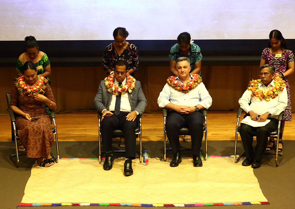
The Opening Keynote Speakers and Chief Guests were Filimoni Vosarogo (Fiji Minister of Lands and Mineral Resources), Surendra Prasad (Head of Schools Sageon at University of the South Pacific), Salote Viti (Chair of the Pacific GIS and Remote Sensing Council (PGRSC)), and Simon Hill (Asia-Pacific Government and Public Safety Lead for ESRI). Sponsors for the event included ESRI, Eagle Technology, University of South Pacific (USP), Pacific Community (SPC) – Digital Earth Pacific, BlackSky, Humanitarian OpenStreetMap Team (HOT-OSM), Open Source Geospatial (OSGeo) Oceania, Vodafone, Fijian Elections Office (FEO), and the United Nations Platform for Space-based Information for Disaster Management and Emergency Response (UN-SPIDER). The 2023 conference was honored to host a full day series of ESRI special sessions and PGRSC National Focal Points also had the opportunity to highlight in-country activities around GIS and remote sensing.
Travel grants were provided by OSGeo Oceania for 3 participants (Halalilika Etika (Tonga), Joshua Turia (Papua New Guinea), and Jewel Tuitama (Tokelau)). Additionally, UN-SPIDER provided travel awards to 22 participants (Gandercillar Vosaki (Cook Islands), John Strickland (Cook Islands), Stephano Rampling-Tou (Cook Islands), Alexandre Amary (French Polynesia), Yoann Roncin (French Polynesia), Turia Bokai (Kiribati), Rodney Yoshida (Palau), Tingneyuc Sekac (Papua New Guinea), Samir Paniani (Samoa), Henry Letaulau Tuuau Letaulau (Samoa), Taialofa Daphne Lale Ieti-Letufuga (Samoa), Pasese Junior Pasese (Samoa), Frost Tuaau (Samoa), Reginald Kuts Reuben (Solomon Islands), Derrick Lauomea Lediomea (Solomon Islands), Branson Pitakia (Solomon Islands), Ana Ilaisaane Kaipa Patolo (Tonga), Kelepi Tupou Hufanga (Tonga), Nikolasi Fetaiaki Moeata Heni (Tonga), Jean Massenet (New Caledonia), Sophie Julie Lartigue (New Caledonia), and Titie Afuhia I Vaha JR Kaufusi (Tonga)).
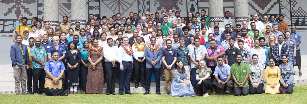
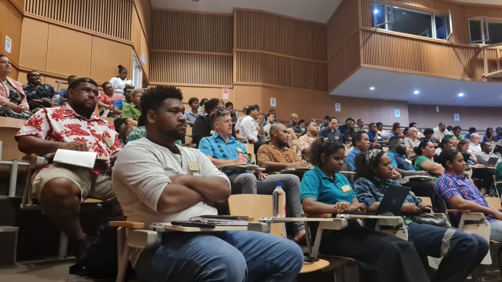
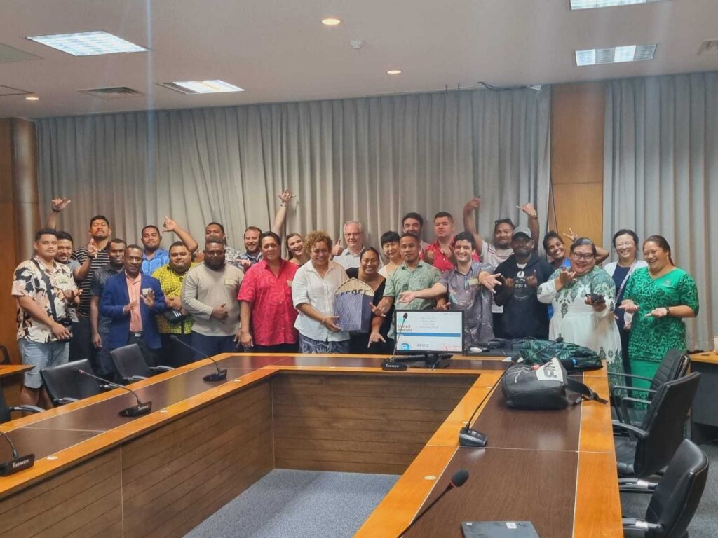
For more than 20 years, the Pacific Islands GIS and Remote Sensing User Conference has provided a platform for: (i) GIS and Remote Sensing (RS) users from nearly all Pacific Island Countries, (ii) satellite data, software, hardware and consulting enterprises and (iii) scientists from universities and research institutions. The 2023 Pacific Islands GIS and Remote Sensing User Conference was held in Suva, Fiji from November 27 to December 1, 2023 under the theme “Improving Resilience in the Pacific Islands Through GIS and Remote Sensing”. The event hosted over 200 participants from 16 Pacific Island nations and 6 regional countries and consisted of 64 presentations, 7 workshops, a Women’s Session Panel, and the most attended Kava Session in PGRSC history!
Workshops this year focused on using ERDAS software for remote sensing (Angela Manchester, Hexagon), ESRI software (Kenna Kelly, Eagle Technologies and ESRI), exploring PostgreSQL (Elisa Puccioni, FOSS4G OSGeo Oceania), NASA ocean satellite data (Bridget Seegers and Kelly Luis, NASA), the Qehnelo Digital Platform (Remi Andreolli, Bluecham SAS), protected area data using the Pacific Islands Protected Area Portal (PIPAP) (Kasaga Tora, SPREP), and a multi-day remote sensing for disaster emergency (Lorant Czaran, UN-SPIDER).
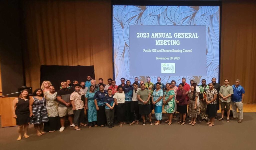
The Pacific Islands GIS and Remote Sensing Council also held their Annual General Meeting during the event and officially accepted their 5-Year Strategic Plan. Overall, the 2023 conference was a huge success and was well-represented by the Pacific GIS and remote sensing user community!
To access detailed program and presentation, visit the 2023 Conference resource page here.