
Council History
The first monthly GIS & RS User Group meetings were established in 1991 with Fiji Lands and Fiji Forestry Department.
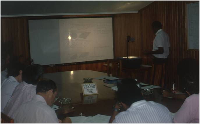
In 1991, Osea Tuinivanua and Wolf Forstreuter based at the Management Services Division of the Forestry Department (MSD-Forestry) along with with Neil Pullar from New Zealand Aid who was based at the Fiji Land Information Support Centre (FLIS) discussed potential monthly GIS and Remote Sensing User Group Meetings. The first meeting was conducted in Colo-i-Suva, at the MSD-Forestry. These meetings attracted a number of organisations with the idea to establish a GIS within their sectors. Meetings were held the first Tuesday every month at a different location to experience the working environment of various GIS users or potential users and in due turn the Fiji Government formed a Fiji Land Information Council with members of different Government institutions, which always met one day after the informal GIS&RS User Meeting gather the information discussed. This structure still exist in Fiji where besides the GIS&RS User Forum the Fiji Geospatial Information Management Council exists and actively meets and has an own national one day conference.
1991The first monthly GIS & RS User Group meetings were established in 1991 with Fiji Lands and Fiji Forestry Department.
The Style of the Meetings
The style was not exactly planned but pushed by the first group who organised the meeting and this continued to date. An interesting fact is that the meeting style was applied by other Pacific Island Countries. Thus the meetings have a fixed structure of institutional updates, coffee pause and presentations. The meetings also changed the location to get to know the different offices of GIS&RS units.
1993The Style of the Meetings
The first GIS and RS Newsletter
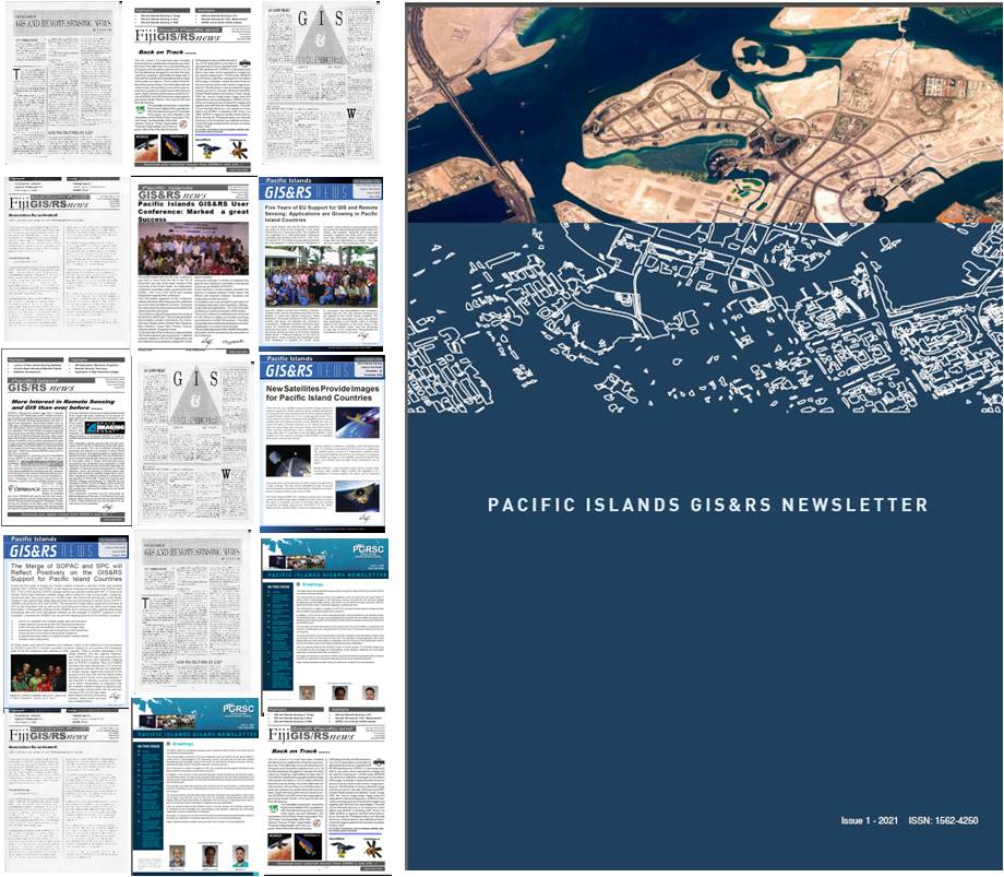
The first GIS and RS Newsletter was published in 1993 and distributed in Fiji. The Newsletter started as a simple print out of a WordPerfect written A4 document edited by Wolf Forstreuter and Les Allinson.
1993The first GIS and RS Newsletter
The Start as Fiji Annual GIS&RS User Conference
In 1998 USP, under the guidance of James Britton, approached the Fiji Lands Department to jointly conduct a two day National GIS&RS Conference.
1998The Start as Fiji Annual GIS&RS User Conference
The conference was extended to 3 days
The conference was extended to 3 days in 1999 with participants from outside of Fiji being included. The first poster competition was conducted in 2001, and has since been an integral activity of the platform. The first companies moved in, in 2003, with the arrival of image vendors.
1999The conference was extended to 3 days
Turn of the millennium

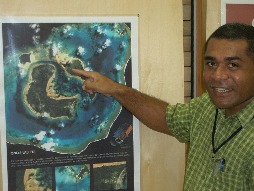
Satellite base remote sensing (RS) started for most countries after turn of the millennium with an EU funded project & IKONOS image data.
2000Turn of the millennium
First Poster Session
First Poster Session at the GIS & RS User Groups Annual Conference Creation of the GIS PacNet network.
2001First Poster Session
Private Companies joined the Conference.
In 2003, the EU funded a regional project at SOPAC assisting GIS and RS application in Pacific Island Countries which resulted in more participants expected from Pacific Island Countries leading to renaming of the Fiji Conference. The same year, private companies joined the conference
2003Private Companies joined the Conference.
Birth of the Pacific Islands GIS&RS User Conference
In 2004 the National Conference was renamed as the “Pacific Islands GIS&RS User Conference” due to the increasing interests of participants that came from Pacific Island countries. The Conference became a focal platform to show GIS&RS development in the Pacific and new developments that could be implemented in the Pacific. As it still stayed as “User” Conference it was an extremely interesting platform for companies to present new hardware, software, date and new methods to apply GIS&RS. This resulted in financial support towards Conference budget by theses companies. Lands Department Fiji remained the main financier and organiser and opened the Conference every year to date with hand-in-hand of SOPAC / SPC and regional based GIS&RS users.
2004Birth of the Pacific Islands GIS&RS User Conference
First Discussion Session at the Pacific Islands GIS & RS User Conference
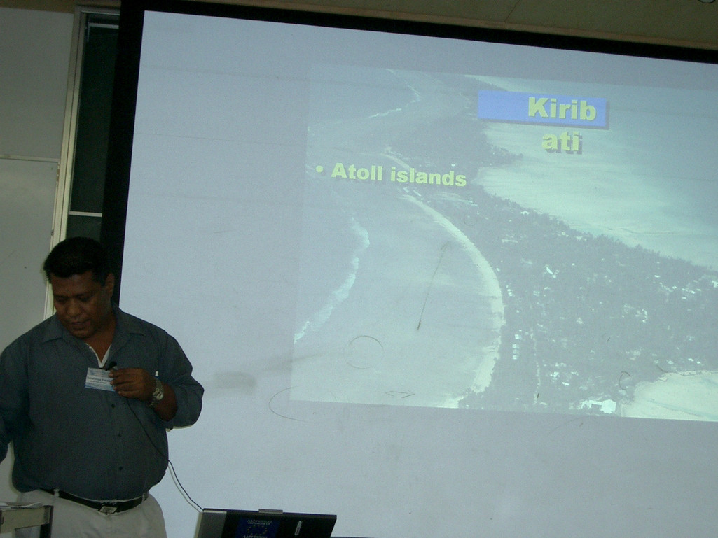
In 2005 ISPRS joined the initiative and was part of the first discussion session of the Conference. The former president John Trinder helped to guide this discussion sessions. Now this session is an important function of the Conference and has since been held every year. The session provides an opportunity for companies, scientists and GIS &RS users to meet and share ideas. Many applications, which required an adaptation to Pacific environment, were discussed at the Conference and implemented during the following years.
2005First Discussion Session at the Pacific Islands GIS & RS User Conference
A growing event
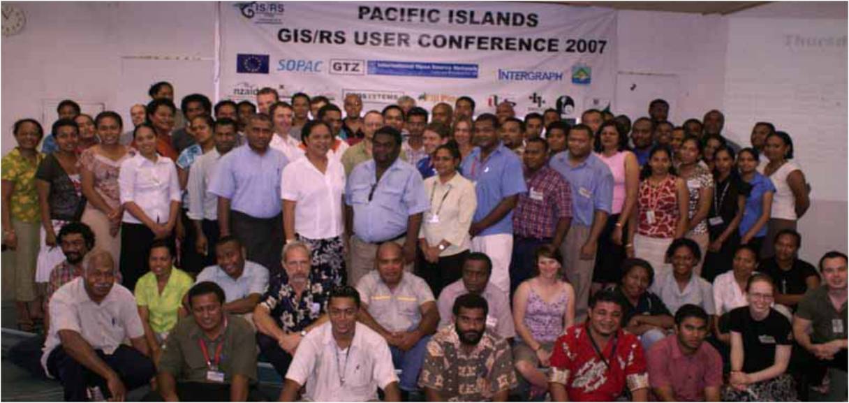
Pacific Islands GIS and RS User Conference attracts more than 200 people from 20 different countries.
2007A growing event
The Conference attract more than 300 participants
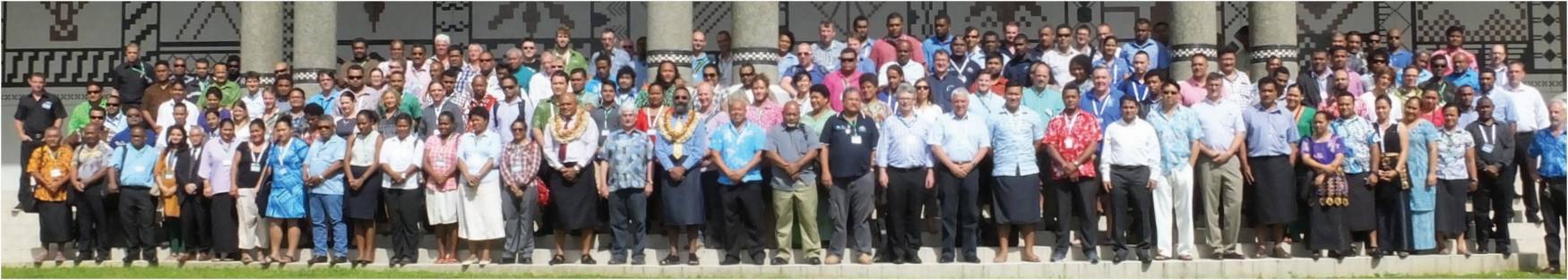
More than 300 people from 22 different countries, from 68 organization/companies attended the 2 parallel sessions of the Conference.
2014The Conference attract more than 300 participants
Launch of the Pacific GIS and Remote Sensing Council (PGRSC)
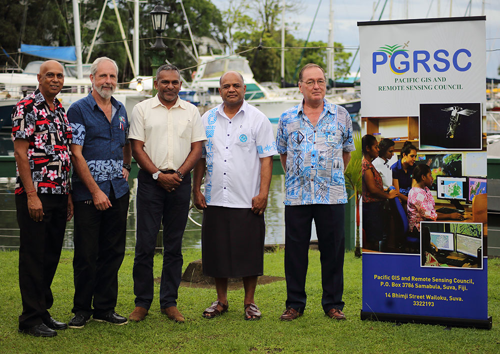
The formation of the PGRSC stemmed from the User Group and Conference and enabled the 2017 Conference. The Pacific GIS and Remote Sensing Council (PGRSC) was officially launched on the 2nd of March 2018 by Hon. Minister for Industry, Trade, Tourism, Lands & Mineral Resources in Fiji, Mr. Faiyaz Koya.
2nd of March 2018Launch of the Pacific GIS and Remote Sensing Council (PGRSC)
Regional Member of International Society for Photogrammetry and Remote Sensing ISPRS.
PGRSC is the Regional Member of International Society for Photogrammetry and Remote Sensing ISPRS.
2019Regional Member of International Society for Photogrammetry and Remote Sensing ISPRS.
Strengthening the link with the University of South Pacific

The University of the South Pacific and the Pacific GIS RS Council (PGRSC) formalized a long term working relationship by signing a Memorandum of Understanding.
2020Strengthening the link with the University of South Pacific
Copernicus Relay

PGRSC became Copernicus Relay for the Pacific.
2020Copernicus Relay
Long term working relationship with IUCN

The International Union for Conservation of Nature – IUCN and the Pacific GIS RS Council (PGRSC) formalized a long term working relationship by signing a Memorandum of Understanding.
2021Long term working relationship with IUCN
The Pacific GIS & RS User Conference in Vanuatu!
First Pacific Islands GIS & RS User Conference outsourced in Vanuatu.
2021The Pacific GIS & RS User Conference in Vanuatu!
PGRSC, OSGeo and OpenStreetMap Foundation’s regional conference "FOSS4G SoTM Oceania" combined for The Pacific Geospatial Conference
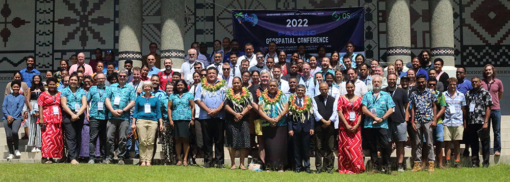
In 2022 Conference, we take it up a notch combining for the first time with Open Source Geospatial (OSGeo) Foundation and OpenStreetMap Foundation’s regional conference “FOSS4G SoTM Oceania”. Thus a new conference name is championed from our collective drive and convened as “The Pacific Geospatial Conference”.
2022PGRSC, OSGeo and OpenStreetMap Foundation’s regional conference "FOSS4G SoTM Oceania" combined for The Pacific Geospatial Conference
Strengthening the Pacific Geospatial Community
PGRSC expanded its communication and outreach activities through: webinars, newsletters, regional announcements, technical resource sharing, promotion of Pacific geospatial initiatives. The Council increasingly positioned itself as a regional platform connecting governments, universities, NGOs, technical agencies and geospatial professionals throughout the Pacific.
2023Strengthening the Pacific Geospatial Community
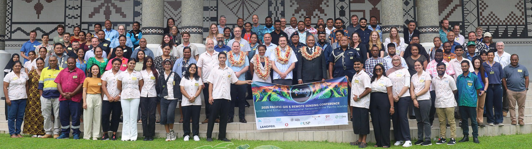
2023 Pacific Islands GIS & Remote Sensing User Conference
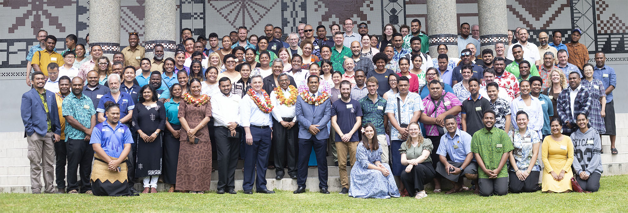
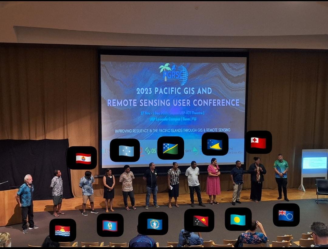
The 2023, under the theme “Improving Resilience in the Pacific Islands Through GIS and Remote Sensing”, Conference brings together more than 250 participants from around the world. 16 Pacific Island countries and territories were represented and PGRSC National Focal Points had the opportunity to highlight in-countires activities around GIS and Remote Sensing. The 2023 conference was honored to host a serie of ESRI special sessions during one full day. Key indicators: 250 Participants from 22 countries and 16 Pacific Island Countries and Territories represented, 63 Presentations, 6 workshops, National Focal Points lightening talks and 14 thematic sessions
20232023 Pacific Islands GIS & Remote Sensing User Conference
Increasing Regional Visibility

PGRSC reinforced its role as a regional geospatial coordination network through: increased conference visibility, technical knowledge sharing, promotion of Earth Observation applications, support for geospatial education and professional development. Topics increasingly focused on: climate resilience, environmental monitoring, coastal and marine management, satellite data applications, open geospatial technologies.
2024Increasing Regional Visibility
2024 Pacific Islands GIS & Remote Sensing User Conference
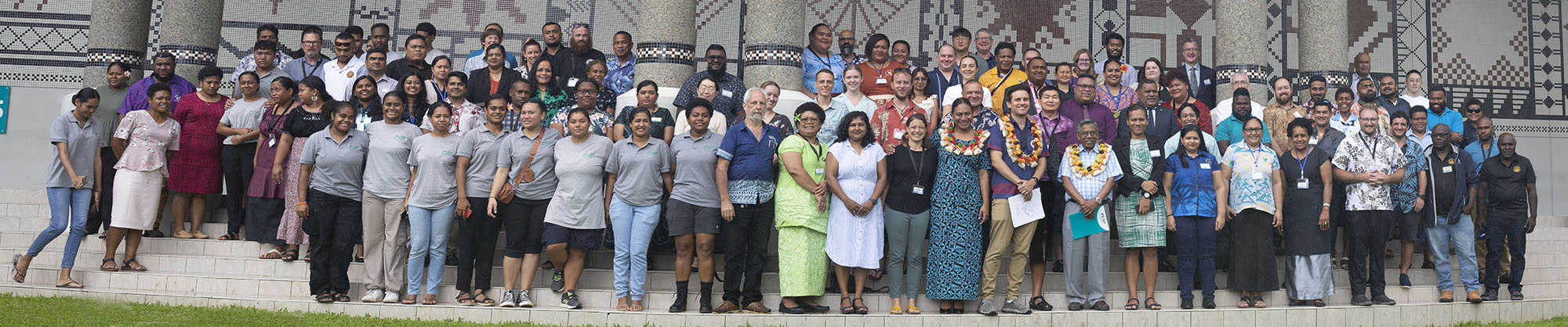
Under the theme “Sustainable Management of Coastal Areas Through Remote Sensing & GIS”, The 2024 Conference brings together more than 150 participants from around the world. 16 Pacific Island countries and territories were represented and PGRSC National Focal Points had the opportunity to highlight in-countires activities around GIS and Remote Sensing. The 2024 conference was honored to host a serie of special sessions including NOAA workshop and DataTerra session. Several discussion sessions have taken place with fruitful exchanges about topics of interest for the community.
20242024 Pacific Islands GIS & Remote Sensing User Conference
Memorandum of Understanding (MoU) with SPC
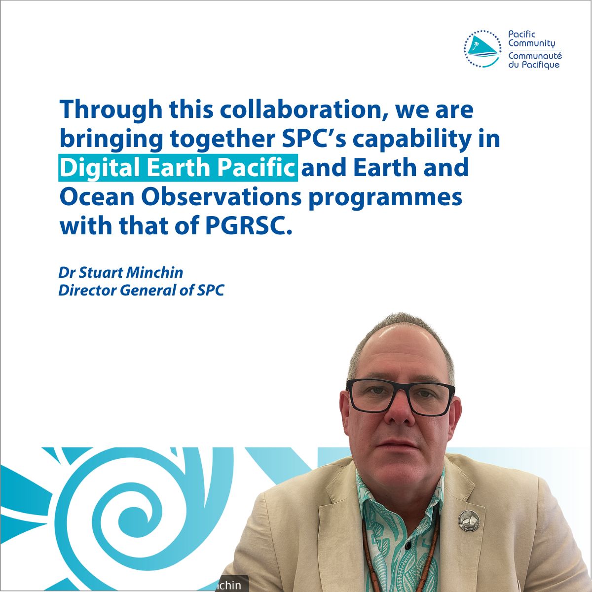
The Pacific Community (SPC) and PGRSC signed a Memorandum of Understanding to strengthen collaboration in: outreach, capacity building, geospatial cooperation, technical knowledge sharing across the Pacific region. This agreement represented an important institutional recognition of the Council’s regional role.
2025Memorandum of Understanding (MoU) with SPC
Expansion of Free Technical Resources
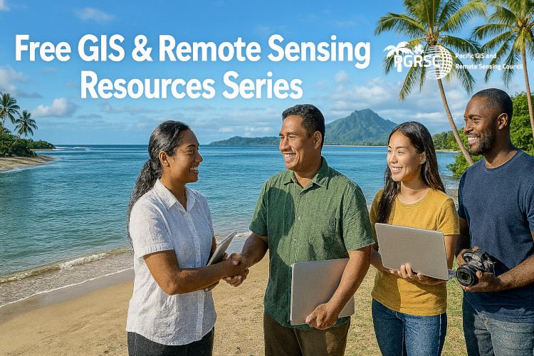
PGRSC also strengthened its commitment to capacity building through the publication and promotion of: GIS learning resources, Earth Observation tutorials, remote sensing training materials, open-source geospatial tools, regional technical opportunities.
2025Expansion of Free Technical Resources
Growth of Regional Conference Activities
The Pacific Islands GIS & Remote Sensing User Conference continued expanding its regional and international visibility through: broader institutional participation, increased technical contributions, stronger regional partnerships, wider dissemination of Pacific geospatial initiatives.
2025Growth of Regional Conference Activities
Continued International Engagement

PGRSC continues developing relationships with major international geospatial organizations and initiatives, including collaborations linked to ISPRS and global geospatial communities.
2026Continued International Engagement
Growth of Institutional Membership
The Council continues expanding its institutional network through the integration of new governmental, academic and private-sector members across the Pacific region.
2026Growth of Institutional Membership
PGRSC serves as a regional platform
Today, PGRSC serves as a regional platform dedicated to: geospatial collaboration, GIS and remote sensing capacity building, regional networking, Earth Observation applications, knowledge sharing, promotion of Pacific geospatial expertise. The Council continues supporting the use of geospatial technologies for sustainable development, environmental monitoring, climate resilience and informed decision-making across Pacific Island countries and territories.
TodayPGRSC serves as a regional platform
PGRSC History
The Pacific GIS and Remote Sensing Council (PGRSC) is a newly established council launched in March of 2018, however it's role has been ongoing within the Pacific region under a group of volunteers who are working in the geospatial industry. The 2017 Pacific Islands GIS & RS User Conference prompted the establishment of the council. The popularity of the conference to pacific, and even world wide attendees, is owed to its visibility through GIS Pac-Net, monthly user group meetings in Fiji and through well established links from the volunteers to regional agencies.
The Fiji GIS & RS User Group
The first monthly GIS & RS User Group meetings were established in 1991 with Fiji Lands and Fiji Forestry Department, where the first meeting was held in Colo-i-Suva by Forestry Department. Overtime the attraction of these meetings grew, as more organisations attended with an interest to establish GIS capability within their sectors. These meetings are held monthly and are run and managed primarily by the Fiji Lands Geospatial division. From these monthly meetings since 1991, GIS capacity has grown significantly within Fiji and the government sectors, prompting the creation of a Fiji Lands Information Council.
The Fiji Annual GIS & RS User Conference
In 1998, a two day national conference was held jointly by USP and Fiji Lands Department. The inception was guided by James Britton. The conference was extended to 3 days in 1999 with participants from outside of Fiji being included. A regional project was then funded by the EU at SOPAC in 2003 to assist GIS & RS application in Pacific Island countries, which then resulted in the renaming of the conference.
The Pacific Islands GIS & RS User Conference
With the renaming of the Fiji National Conference to the Pacific Islands GIS & RS User Conference in 2004, an increasing interest of participants from Pacific Island countries and even abroad occurred. The ISPRS joined the conference initiative in 2005 and set up the discussion format of the conference through its former president John Trinder, who was present to guide these sessions.