Conference Program
The 2024 Pacific Island GIS&RS User Conference program will be released soon. This is a preliminary detailed conference program that will be updated regularly until the start of the conference.
Last update : 24 November 2024 – 06:00pm
Conference proceedings are available as PDF file. The proceedings will be updated regularly.
Version 1.4
Last update: 23 November 2024 – 03:00pm
- Program Overview
- Day 1 – 25.11.2024
- Day 2 – 26.11.2024
- Day 3 – 27.11.2024
- Day 4 – 28.11.2024
- WORKSHOPS
| Monday 25.11.24 | Tuesday 26.11.24 | Wednesday 27.11.24 | Thursday 28.11.24 | Friday 29.11.24 | Saturday 30.11.24 | |||||||
|---|---|---|---|---|---|---|---|---|---|---|---|---|
| 08:00 –09:15 | Registration | 08:00 –09:00 | Registration | 07:00 –08:00 | Registration | 08:00 –09:00 | Registration | 08:00-10:00 | Workshop | Sandbank Picnic |
||
| 09:15-10:15 | Session 1 – Opening – Session | 09:00-10:00 | Session 1 – Women in GIS and Remote Sensing | 08:00-10:00 | Session 1 – Forestry | 09:00-10:00 | Session 1 – LiDAR | 10:00-12:00 | Workshop | |||
| 10:45-12:05 | Session 2 – Organisations and Companies | 10:00-10:20 | Discussion Session 03 ” Women in GIS and Remote Sensing” | 10:20-12:00 | Session 2 – UAV | 10:40-12:20 | Session 2 – Pacific GIS and Remote Sensing Applications | 13:00-15:00 | Workshop | |||
| 13:20-14:40 | Session 3 – DataTerra | 10:40-12:00 | Session 2 – Remote Sensing Data Handling | Workshops | 13:00-14:40 | Session 3 – Maritime | 13:20-14:20 | Session 3 – Open | 15:00-17:00 | Workshop | ||
| 15:00-16:20 | Session 4 – Maritime | 13:00-14:40 | Session 3 – Mapping | NOAA | 14:40-15:00 | Discussion Session 03 “UAV or Satellite Image Data?” | 14:20-14:40 | Discussion Session 04 “Pacific Data Needs for Disaster Impact Assessment” | ||||
| 16:20-16:35 | Discussion Session 01 “Building Pacific Space Industry” | 15:00-16:00 | Session 4 – Utility | ERDAS | 15:20-17:00 | Session 4 – | 15:00-16:20 | Session 4 – Coastal Session | ||||
| 16:35-16:50 | Discussion Session 02 “Sustainable Management for Coastal Areas” | 16:00-16:15 | Discussion Session 04 “Embarrassing Questions” | 17:00-18:20 | PGRSC AGM | 16:20-17:00 | Closing Ceremony | |||||
| 18:00-21:00 | Opening Cocktail | 17:00-20:00 | Talanoa Session, Kava & Music | 20:00-00:00 | Through the Fiji Night Clubs | 18:00-21:00 | Closing Coctail | |||||
| ————————- | ————————————————- Monday 25.11.24 ———- | |
|---|---|---|
| ————————- | Session 1 – Opening – Session Leader: Bradley Eichelberger | |
| Filimoni Vosarogo | Official Opening – Chief Guest & Minister for Lands & Mineral Resources, Hon. Filimoni Vosarogo | |
| Surendra Prasad | Welcome USP, Head of School for Agriculture, Geography, Environment, Ocean & Natural Science (SAGEONS) – Prof. Surendra Prasad | |
| William Romine | Welcome US Embassy, Deputy Affairs Officer – Mr. William Romine | |
| Salote Viti | Welcome PGRSC Chair Address – Ms. Salote Viti | |
| Wolf Forstreuter | PGRSC Conference Overview | |
| ————————- | Conference Photo | |
| ————————- | Morning Coffee | |
| ————————- | Session 2 – Organisations and Companies – Session Leader: Kasaqa Tora | |
| Lena Haloumova | The International Society for Photogrammetry and Remote Sensing for Pacific Island Countries | |
 | Peter Kinne | Developing Space Capacity and Capability in the Pacific |
 | Rémi Andreoli | Copernicus Data Space Ecosystem, Access to Copernicus Sentinel data and beyond |
 | Angela Manchester | Remote Sensing Update: Hexagon |
| ————————– | ————————– | Session 3 – RS-Data – Session Leader: Salote Viti |
 | Mathilde Souchon | PIURN – Pacific Islands Universities Regional Network |
 | Jean Massenet | Community of Oceania Geospatial, an initiative benefiting to PICTs |
| Jean Massenet | COG-25 Talanoa session | |
| ————————- | Session 4 – Maritime – Session Leader: Maria Kottermair | |
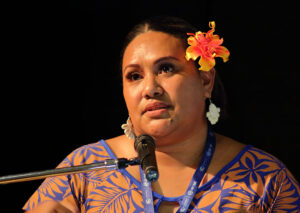 | Vani Koroisamanunu | Harnessing Geospatial Knowledge to Advance Sustainability in the Pacific |
 | Alan Clinton | Predictive Models v. U.S. Constitution: The Secret Sauce |
 | Chan-Su Yang | Application of Optical Satellites for Wave Monitoring |
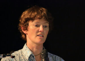 | Rose Pearson | Topography driven floodplain and coastal erosion setback delineation |
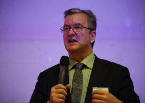 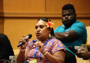 | Peter Kinne + Rémi Andreoli | Discussion Session 01 “Building Pacific Space Industry” |
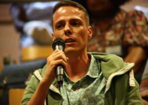 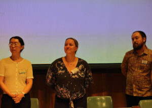 | Brad Eichelberger + Open | Discussion Session 02 “Sustainable Management for Coastal Areas” |
| 1_05_01 | ————————- | Opening Cocktail |
| ————————- | ————————————————- Thursday 28.11.24 USP ————————— | |
|---|---|---|
| ————————- | Session 1 – LiDAR – Session Leader: Wolf Forstreuter | |
 | Yoann Roncin | Connecting Through Cartography: Sharing Reference Resources in French Polynesia |
 | Jumpei Takami | Introduction of Synthetic Aperture Radar for Disaster Management and Forest Inventory Monitoring |
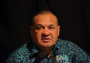 | Richard Russell | Trinity Pro – LiDAR update |
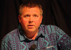 | Andy Burrell | Topographic and Bathymetric LiDAR in the Coastal Zones (ID_50) |
| ————————- | Morning Coffee | |
| ————————- | Session 2 – Pacific GIS and Remote Sensing Applications Session Leader: Shyam Lodhia | |
 | Jumpei Takami | Recent Activities of UNOOSA (UN-SPIDER) in Tongatapu Island with Space-based Integrated Disaster Management Platform |
 | Johnie Nimau | Hazard Exposure and Losses to Extreme Wave Levels Exacerbated by Climate-induced Sea-Level Rise in Vanuatu Islands Contexts |
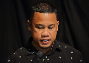 | Rodney Yoshida | Using GIS in Palau for mapping & various project. |
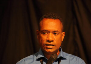 | Tingneyuc Sekac | Geospatial Technology for Climate-Resilient Road Infrastructure Management and Planning in the Inland Regions of Papua New Guinea |
| Laxmi Thapa | Activities of ISPRS SC for Students and Summer School | |
| ————————- | Lunch | |
| ————————- | Session 3 – Open – Session Leader: Fiona Meke | |
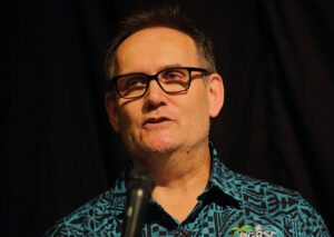 | Simon Nitz | FOSS4G GIS Stack at Whanganui District Council NZ |
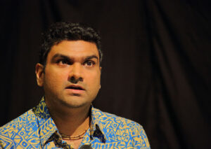 | Pankajeshwara Sharma | MapSafe: A complete tool for achieving geospatial data sovereignty |
 | Hannah Marley | Spatial climate & hydrology insights_ Tools to reduce uncertainty and empower decision-making (ID_51) (1) |
 | Nicholas Metherall | Mineral Resource Extraction Detection (MRED) using machine learning approaches to detect mineral extraction and potential impacts on qoliqoli marine ecosystems in Fiji (Digital Earth Pacific) |
| ————————- | Afternoon Coffee | |
| ————————- | Session 4 – Maritime – Session Leader: Brad Eichelberger | |
  | Bill Rua | GIS Applications in Development Planning of Rural Communities |
 | Tobias Fischer | Automated Shoreline Monitoring in French Polynesia’s Atolls: A Case Study on Tetiaroa |
 | Fiona Meke | The use of GIS in coastal marine research |
| ————————- | Closing Coctail |
| NOAA CoastWatch and PacIOOS | ERDAS Introduction | GIZ | OSGeo Oceania and QGIS | |
|---|---|---|---|---|
| Date | 26/11/2024 | 26/11/2024 | 29/11/2024 | 29/11/2024 |
| Start | 13:00 | 16:00 | 13:00 | 09:00 |
| Duration | 5 hours | 3 to 4 hours | 4 hours | 4 hours |
| Location | GIS Labs at Marine Lower Campus | Computer lab USP lower campus | GIS Labs at Marine Lower Campus | GIS Labs at Marine Lower Campus |
| Nb Participants | 30 | 15 | 15 | – |
| Comments | Attendees should have QGIS installed on their laptop | Attendees should bring their laptop | Attendees should have QGIS 3.20 or better installed on their laptop | |
| Registration | === Register here === | Send email to Wolf to register | Shyam Lodhia | Simon Nitz |
| Topic | Training Course to Access and Use Data for Ocean and Coastal Applications | Introduction the Image Analysis Software ERDAS | Digital Earth Pacific SPC and MACBLUE GIZ present: cloud-native computing for supervised classification of coastal ecosystems | Creating Models using QGIS Model Designer |
| Workshop conducted by: | Daisy Shi, Lauren Kaiser | by Angela Manchester, HEXAGON (ERDAS company) Workshops, Page | Shyam Lodhia | Simon Nitz |


