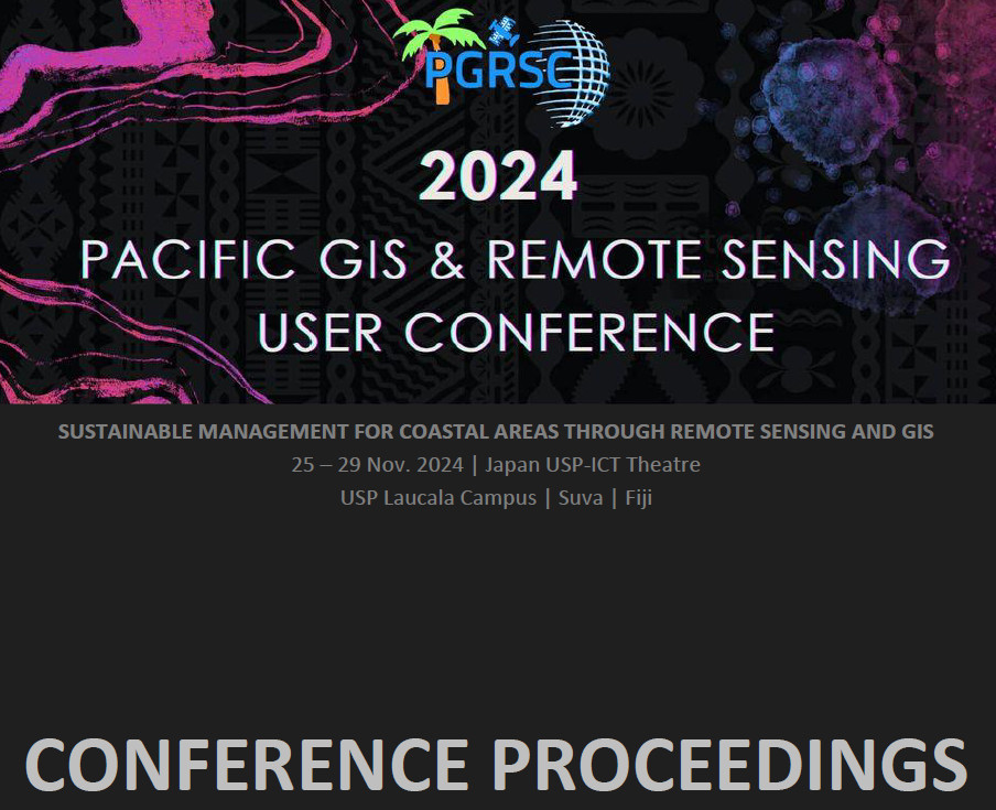
2024 Conference Resources
Sustainable Management of Coastal Areas Through Remote Sensing & GIS
Conference sponsors
Conference Highlights
The 2024 Conference brings together more than 150 participants from around the world. 16 Pacific Island countries and territories were represented and PGRSC National Focal Points had the opportunity to highlight in-countires activities around GIS and Remote Sensing.
The 2024 conference was honored to host a serie of special sessions including NOAA workshop and DataTerra session.
Several discussion sessions have taken place with fruitful exchanges about topics of interest for the community.
Key indicators

150 Participants from 22 countries and 16 Pacific Island Countries and Territories represented

56 Presentations

4 workshops, National Focal Points lightening talks and 14 thematic sessions
Conference proceedings are available as PDF file.
Version 1.4
Last update: 23 November 2024 – 03:00pm
Day 1 Presentations
| ————————- | ————————————————- Monday 25.11.24 ———- | |
|---|---|---|
| ————————- | Session 1 – Opening – Session Leader: Bradley Eichelberger | |
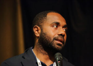
| Filimoni Vosarogo | Official Opening – Chief Guest & Minister for Lands & Mineral Resources, Hon. Filimoni Vosarogo | |
| Surendra Prasad | Welcome USP, Head of School for Agriculture, Geography, Environment, Ocean & Natural Science (SAGEONS) – Prof. Surendra Prasad | |
| William Romine | Welcome US Embassy, Deputy Affairs Officer – Mr. William Romine | |
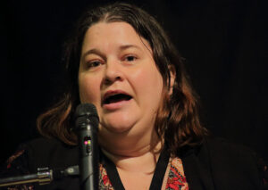
| Salote Viti | Welcome PGRSC Chair Address – Ms. Salote Viti | |
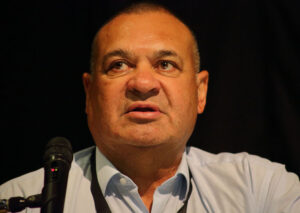
| Wolf Forstreuter | PGRSC Conference Overview | |
| ————————- | Conference Photo | |
| ————————- | Morning Coffee | |
| ————————- | Session 2 – Organisations and Companies – Session Leader: Kasaqa Tora | |
| Lena Haloumova | The International Society for Photogrammetry and Remote Sensing for Pacific Island Countries | |
 | Peter Kinne | Developing Space Capacity and Capability in the Pacific |
 | Rémi Andreoli | Copernicus Data Space Ecosystem, Access to Copernicus Sentinel data and beyond |
 | Angela Manchester | Remote Sensing Update: Hexagon |
| ————————– | ————————– | Session 3 – RS-Data – Session Leader: Salote Viti |
 | Mathilde Souchon | PIURN – Pacific Islands Universities Regional Network |
 | Jean Massenet | Community of Oceania Geospatial, an initiative benefiting to PICTs |
| Jean Massenet | COG-25 Talanoa session | |
| ————————- | Session 4 – Maritime – Session Leader: Maria Kottermair | |
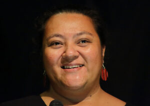
 | Vani Koroisamanunu | Harnessing Geospatial Knowledge to Advance Sustainability in the Pacific |
 | Alan Clinton | Predictive Models v. U.S. Constitution: The Secret Sauce |
 | Chan-Su Yang | Application of Optical Satellites for Wave Monitoring |
 | Rose Pearson | Topography driven floodplain and coastal erosion setback delineation |
  | Peter Kinne + Rémi Andreoli | Discussion Session 01 “Building Pacific Space Industry” |
  | Brad Eichelberger + Open | Discussion Session 02 “Sustainable Management for Coastal Areas” |
| 1_05_01 | ————————- | Opening Cocktail |
Day 2 Presentations


Day 3 Presentations

Day 4 Presentations
| ————————- | ————————————————- Thursday 28.11.24 USP ————————— | |
|---|---|---|
| ————————- | Session 1 – LiDAR – Session Leader: Wolf Forstreuter | |
 | Yoann Roncin | Connecting Through Cartography: Sharing Reference Resources in French Polynesia |
 | Jumpei Takami | Introduction of Synthetic Aperture Radar for Disaster Management and Forest Inventory Monitoring |
 | Richard Russell | Trinity Pro – LiDAR update |
 | Andy Burrell | Topographic and Bathymetric LiDAR in the Coastal Zones (ID_50) |
| ————————- | Morning Coffee | |
| ————————- | Session 2 – Pacific GIS and Remote Sensing Applications Session Leader: Shyam Lodhia | |
 | Jumpei Takami | Recent Activities of UNOOSA (UN-SPIDER) in Tongatapu Island with Space-based Integrated Disaster Management Platform |
 | Johnie Nimau | Hazard Exposure and Losses to Extreme Wave Levels Exacerbated by Climate-induced Sea-Level Rise in Vanuatu Islands Contexts |
 | Rodney Yoshida | Using GIS in Palau for mapping & various project. |
 | Tingneyuc Sekac | Geospatial Technology for Climate-Resilient Road Infrastructure Management and Planning in the Inland Regions of Papua New Guinea |
| Laxmi Thapa | Activities of ISPRS SC for Students and Summer School | |
| ————————- | Lunch | |
| ————————- | Session 3 – Open – Session Leader: Fiona Meke | |
 | Simon Nitz | FOSS4G GIS Stack at Whanganui District Council NZ |
 | Pankajeshwara Sharma | MapSafe: A complete tool for achieving geospatial data sovereignty |
 | Hannah Marley | Spatial climate & hydrology insights_ Tools to reduce uncertainty and empower decision-making (ID_51) (1) |
 | Nicholas Metherall | Mineral Resource Extraction Detection (MRED) using machine learning approaches to detect mineral extraction and potential impacts on qoliqoli marine ecosystems in Fiji (Digital Earth Pacific) |
| ————————- | Afternoon Coffee | |
| ————————- | Session 4 – Maritime – Session Leader: Brad Eichelberger | |
  | Bill Rua | GIS Applications in Development Planning of Rural Communities |
 | Tobias Fischer | Automated Shoreline Monitoring in French Polynesia’s Atolls: A Case Study on Tetiaroa |
 | Fiona Meke | The use of GIS in coastal marine research |
| ————————- | Closing Coctail |
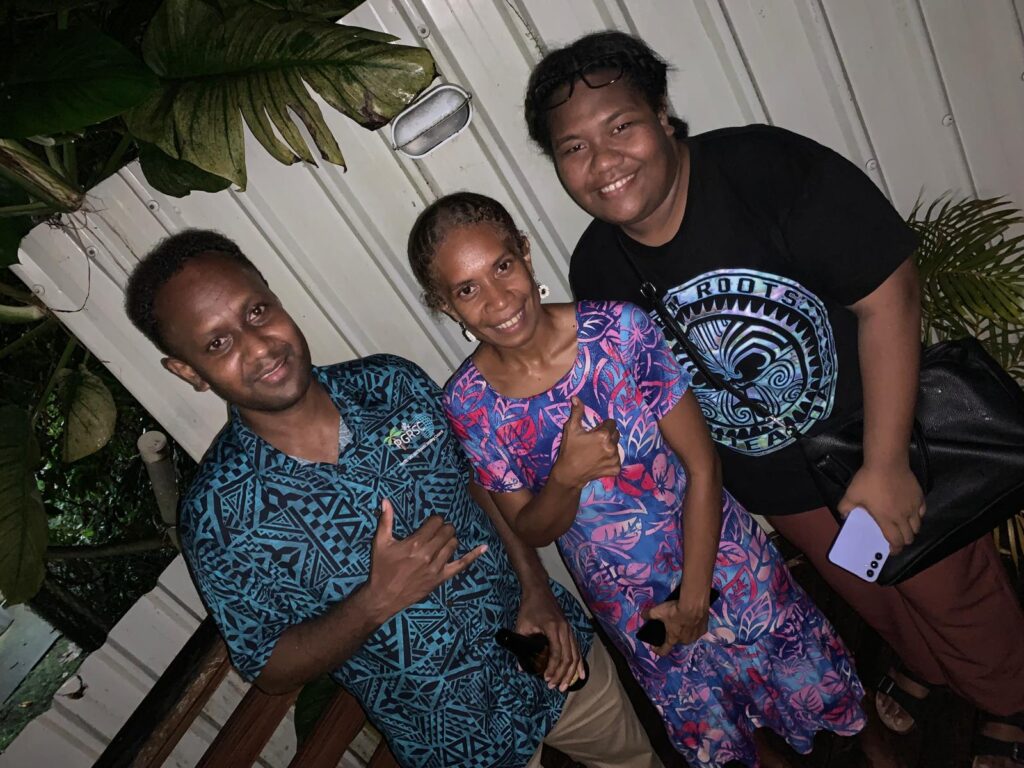
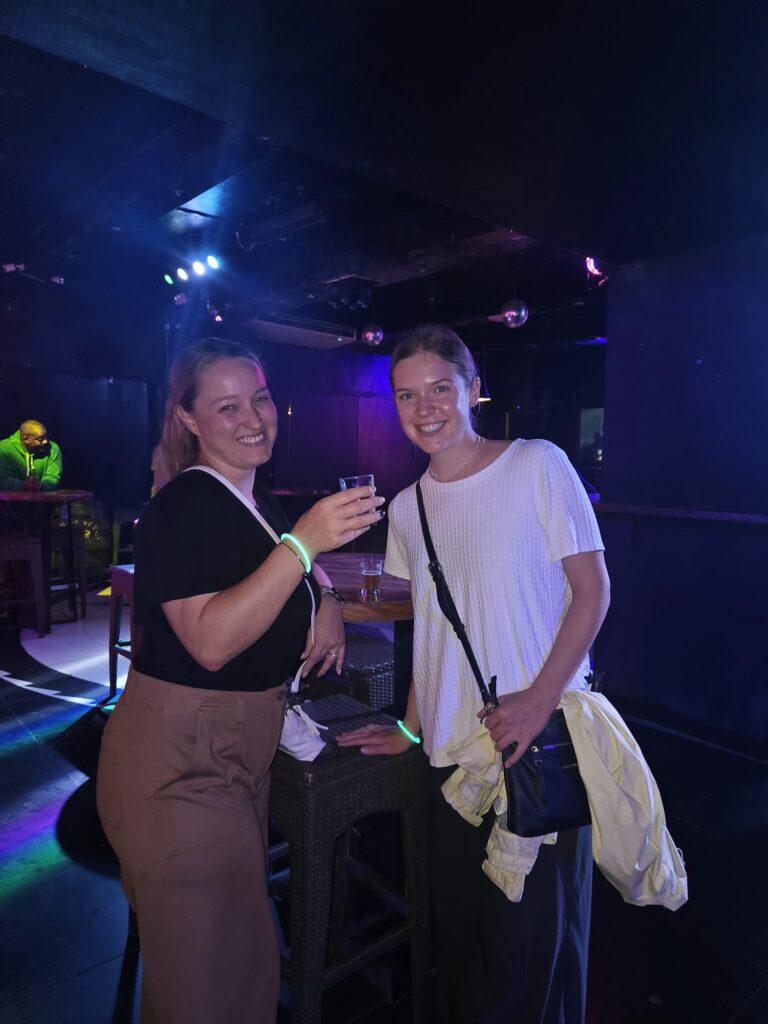
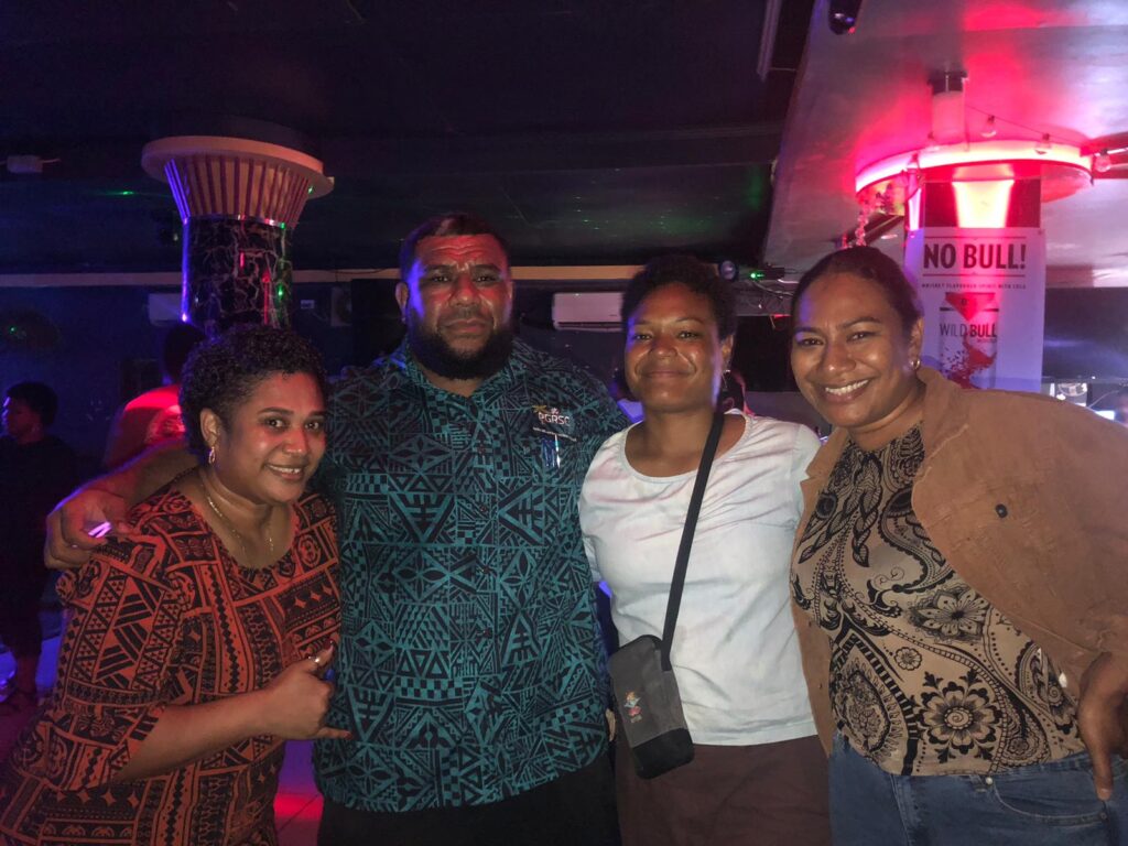
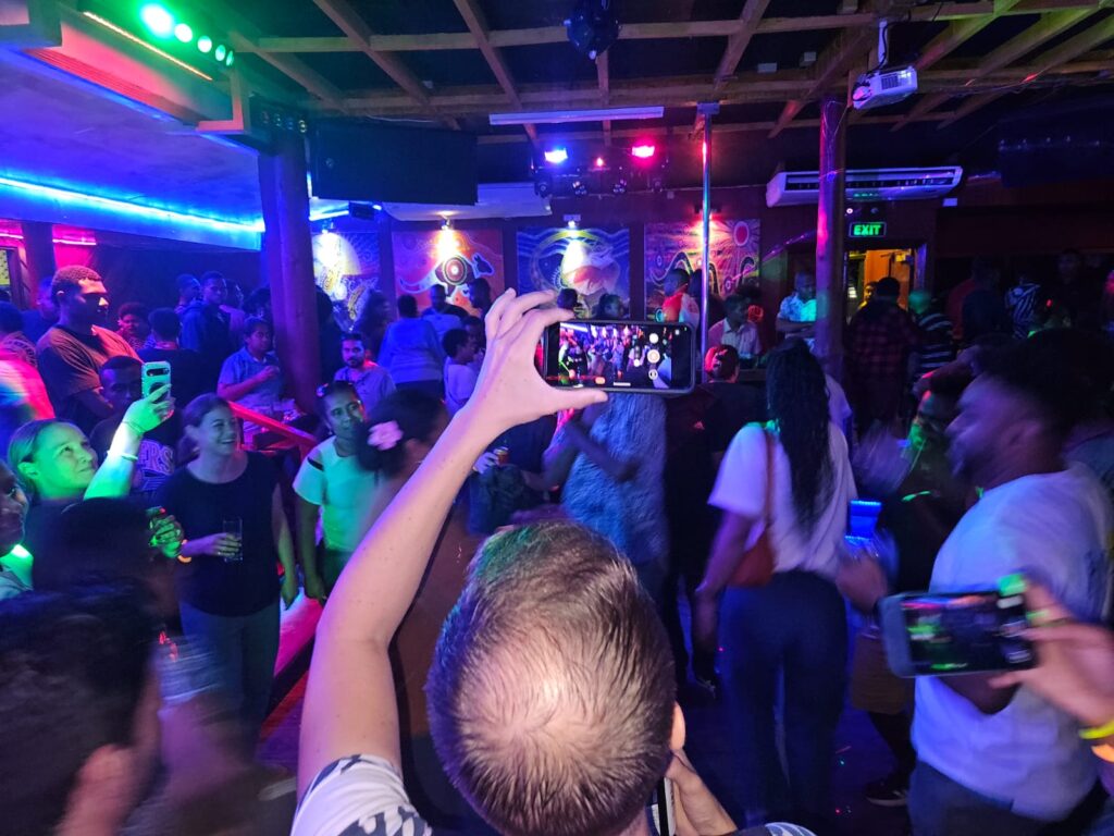
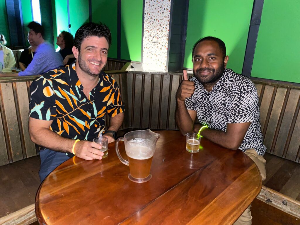
Social Events
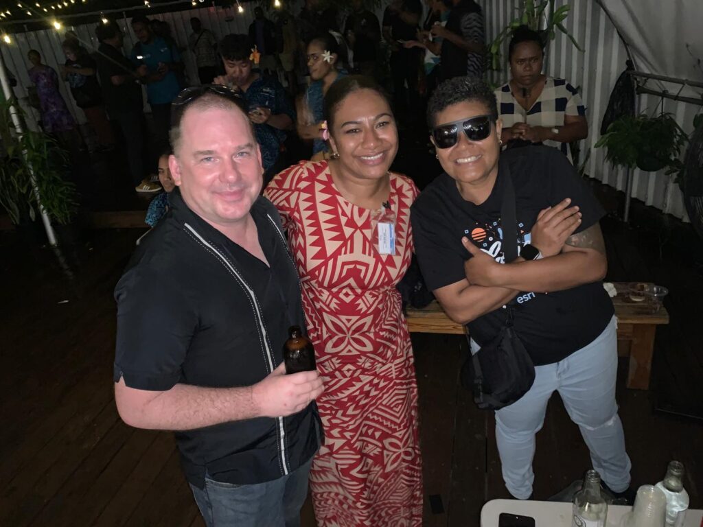
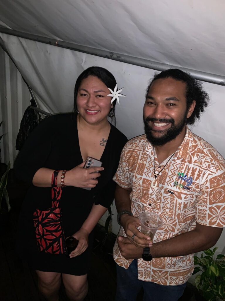
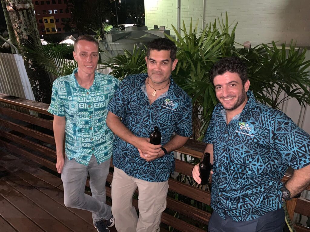
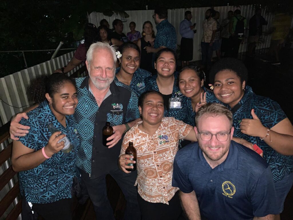
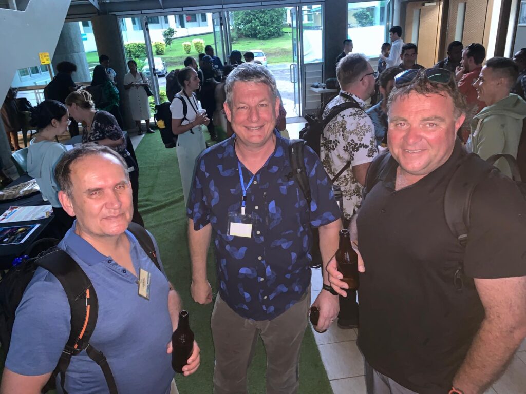
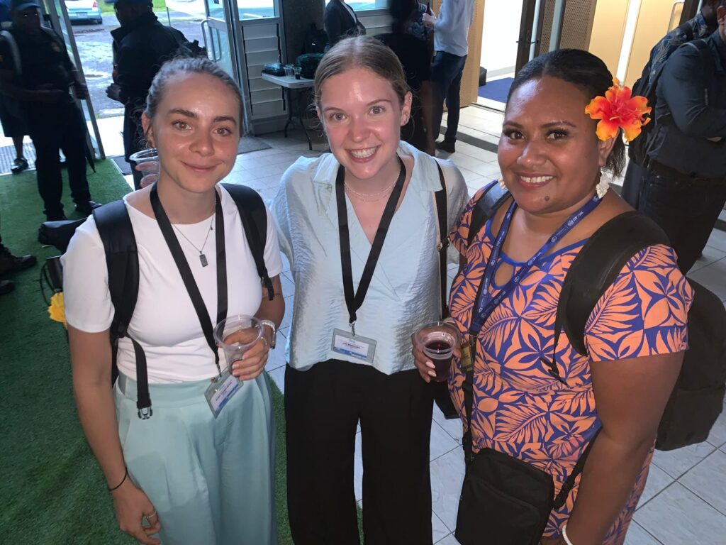
Opening Cocktail
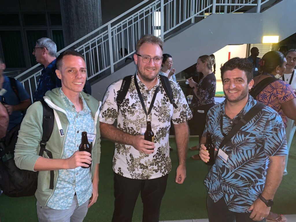
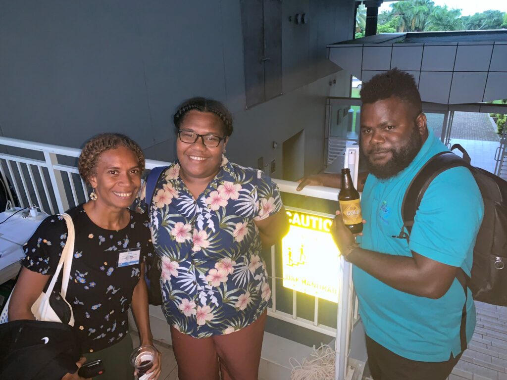
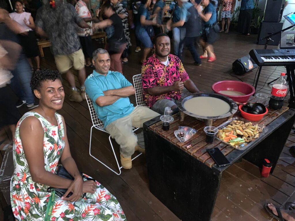
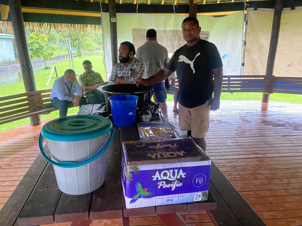
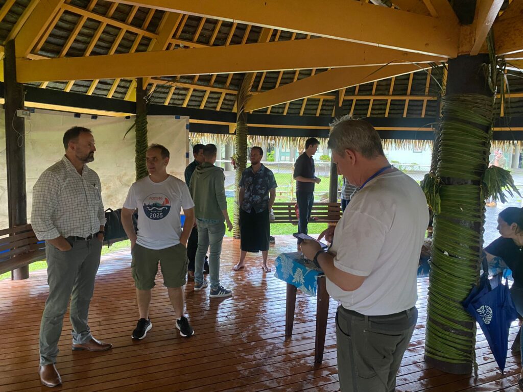
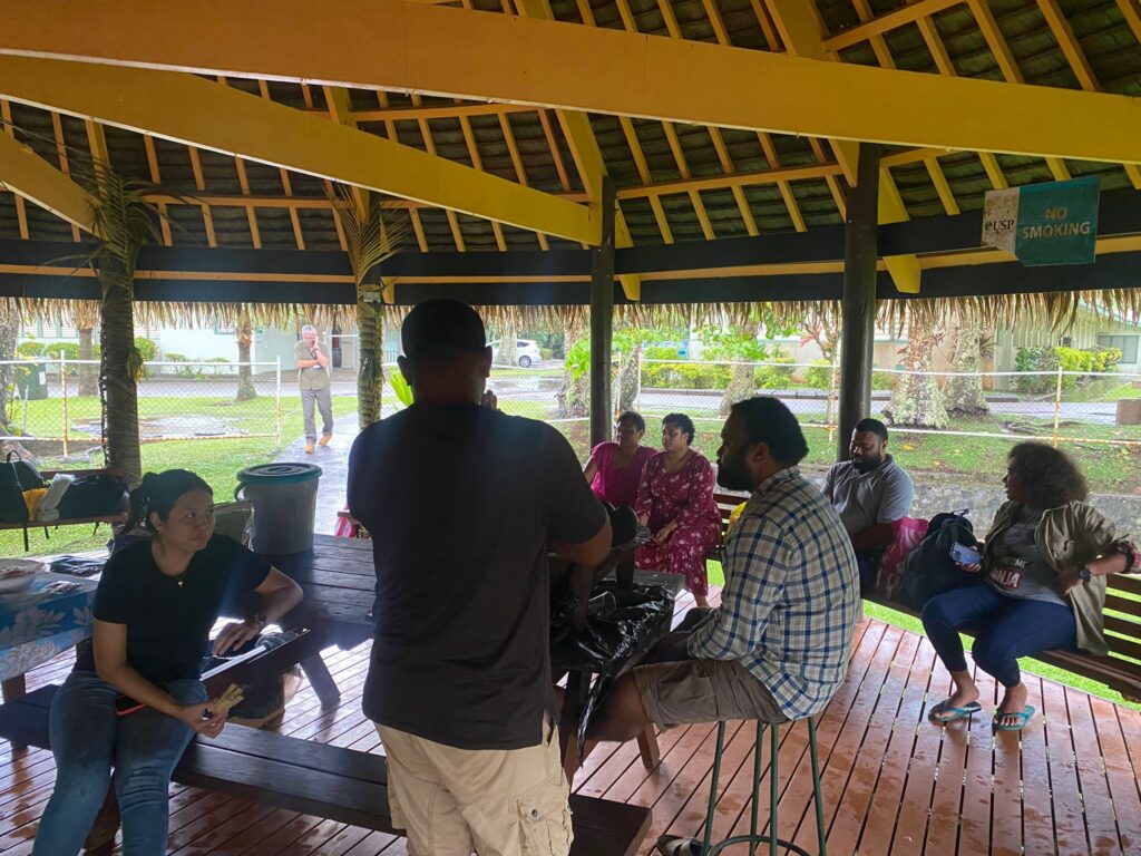
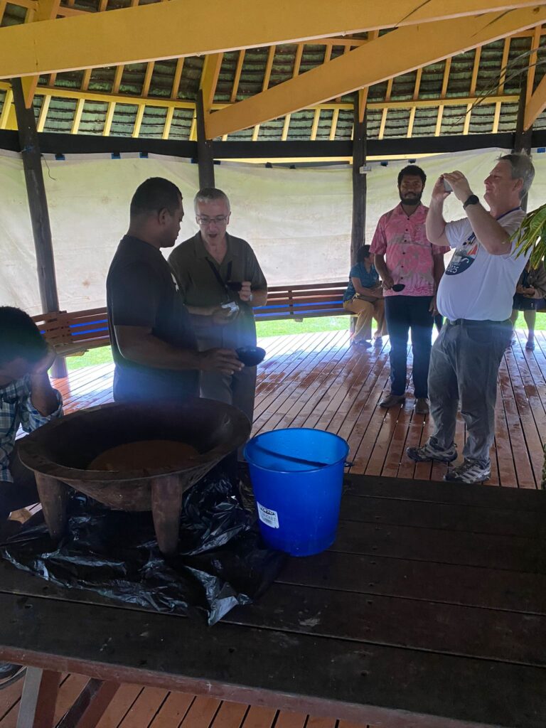
Kava Session
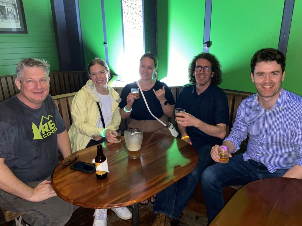
Pub Crawl
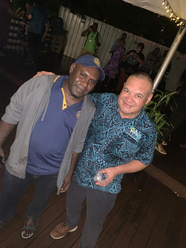
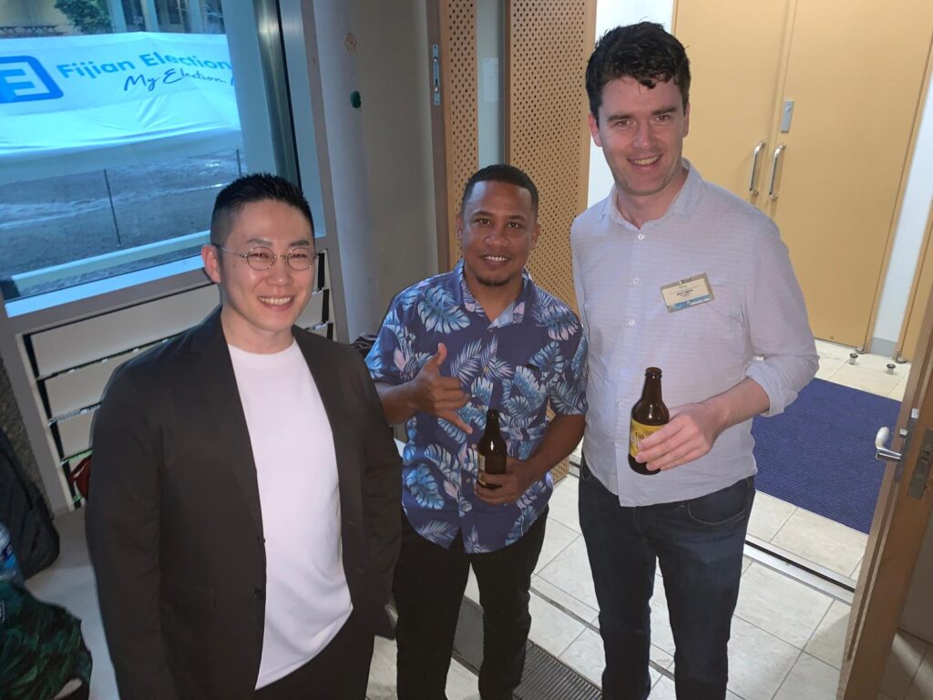
Closing Cocktail