2022 Conference Resources
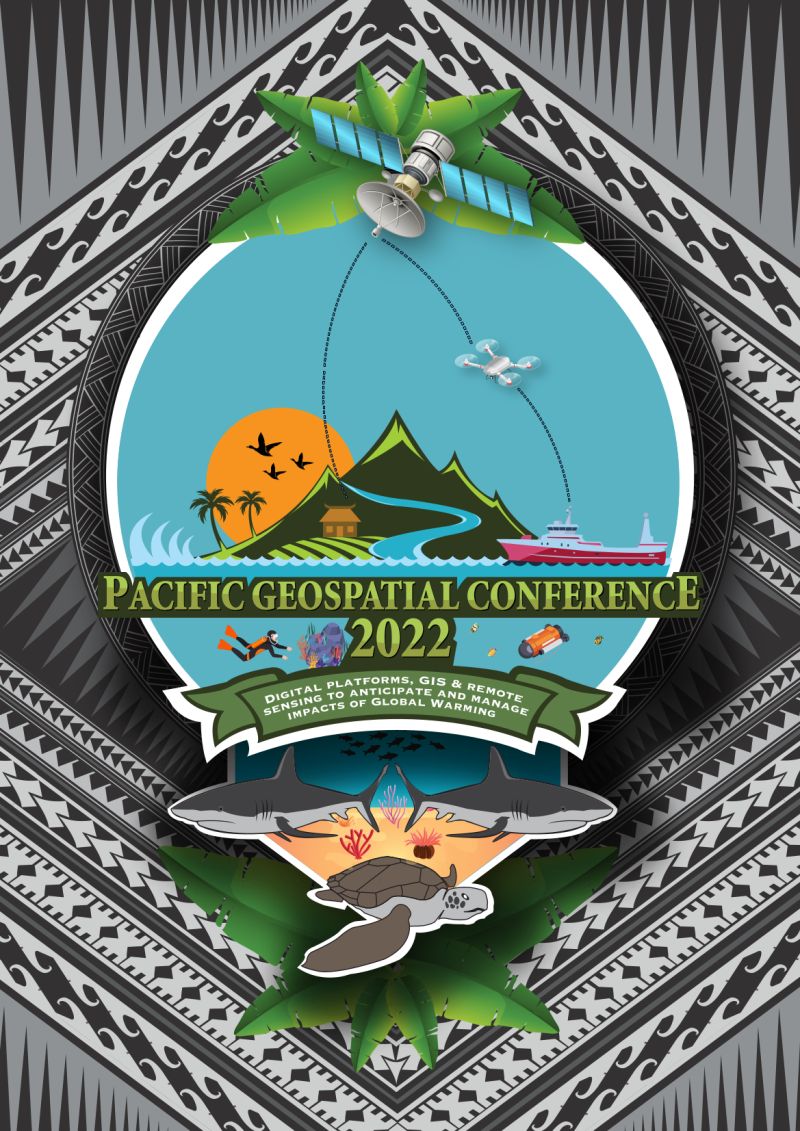
Use of Digital Platforms, GIS and Remote Sensing to anticipate and manage impacts of Global Warming
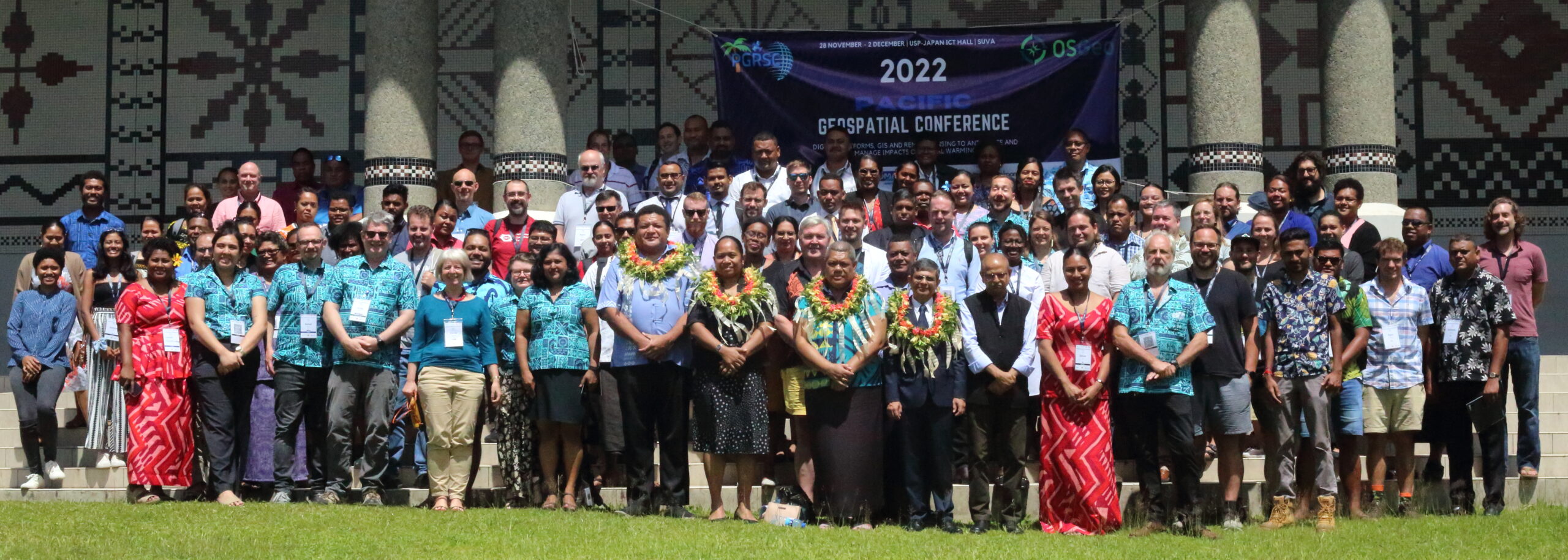
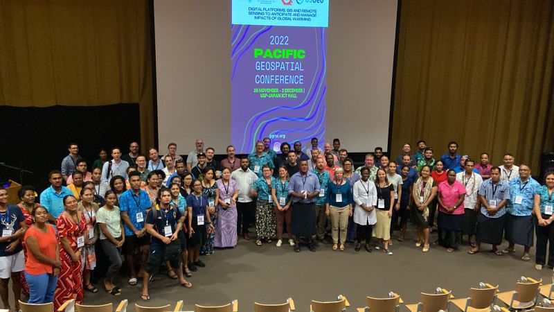
Conference Highlights
For the first time the 2022 Conference incorporated the Open Source Geospatial (OSGeo) Foundation and OpenStreetMap Foundation’s
regional conference “FOSS4G SoTM Oceania“.
Thus a new conference name has been used to represent this new venture: “The Pacific Geospatial Conference“.



Key indicators

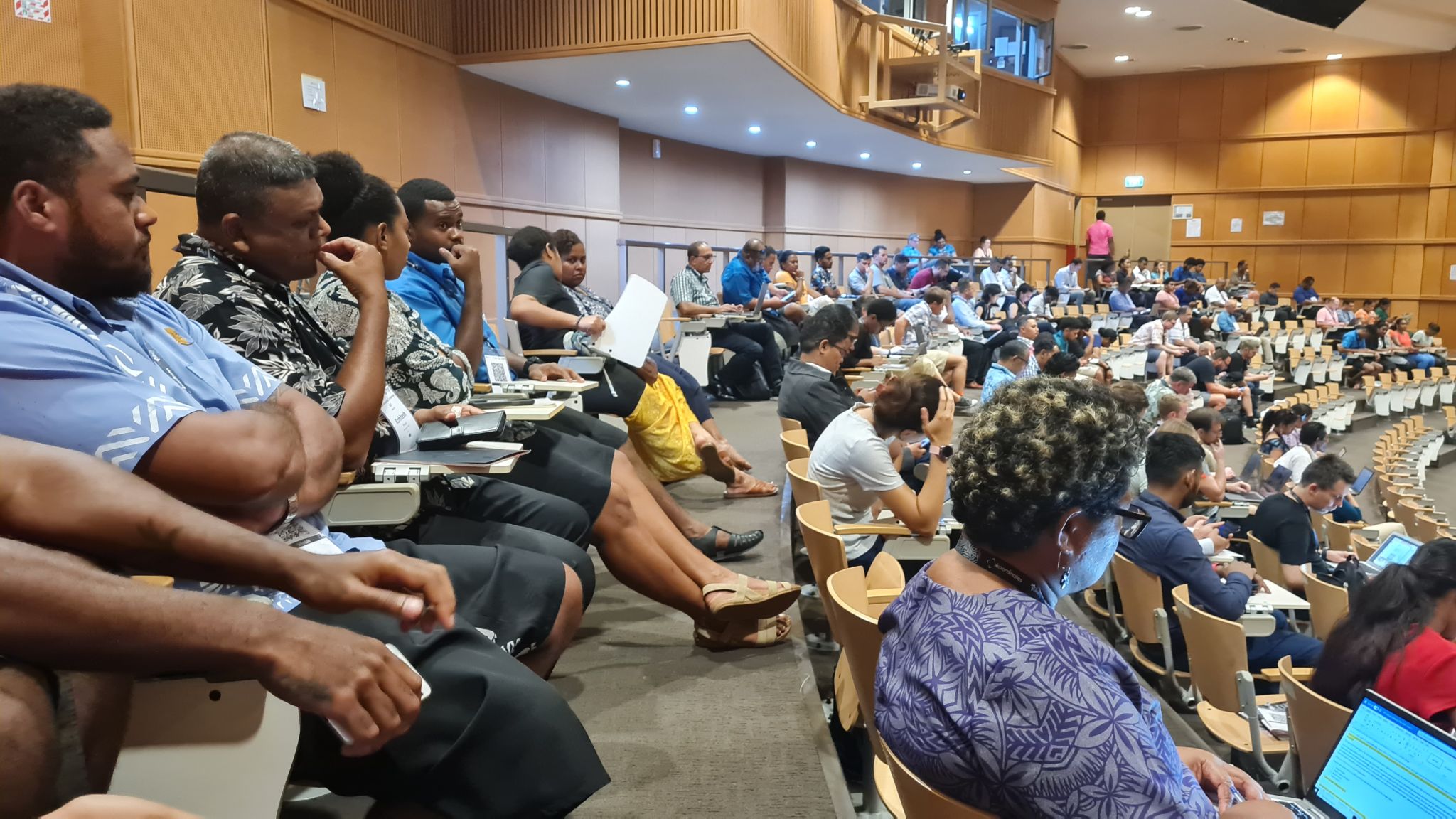
350 Participants

66 Presentations

5 Workshops
HOTSOM Mapathon
Conference sponsors
Day 1 Presentations
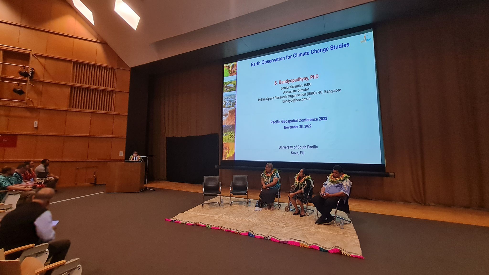
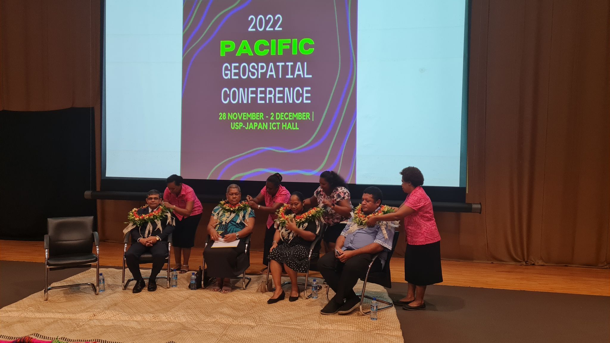
Opening Ceremny
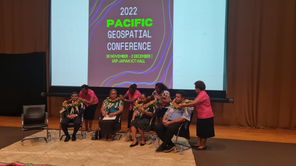
Opening Ceremny
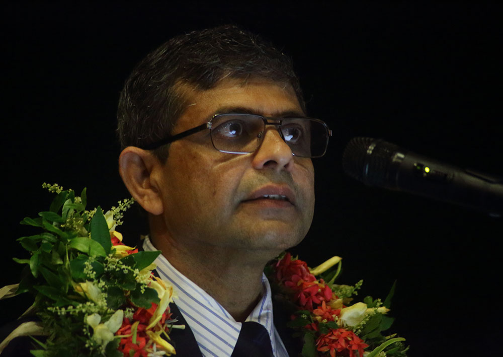
Dr Soumya Banyopadhyay
Associate Director Earth Observation And Disaster Management
Indian Space research Organisation
Pacific Geospatial Conference Opening Keynote
Session 2 : State of the Pacific

Wolf Forstreuter
PGRSC
The Pacific Islands GIS and Remote Sensing Newsletter, three Decades of History, Function today and Future
Abstract
The first GIS and RS Newsletter was published in 1993 and distributed in Fiji. There was a need for a regular information platform as there was no Fiji medium (i) to report and document the monthly GIS&RS User Meeting, (ii) to distribute new developments in the areas GIS, RS and upcoming GPS applications, (iii) to report about data available in Fiji. The Newsletter started as a simple print out of a WordPerfect written A4 document edited by Wolf Forstreuter and Les Allinson. In 1994 SOPAC’s Director supported the Newsletter with professional staff and Lala Bukarau joining the team. James Britton (USP) joined the newsletters working group in 1998. During the time users of other Pacific states were interested in the newsletter where SOPAC printed and posted to most Pacific Island Countries. Shortly afterwards, a network was established of national focal points. The newsletter was then produced in bigger quantities posted to the focal points and from there distributed to subscribers in the corresponding country.
With the better internet access in Pacific Island Countries the postal delivery to the countries was stopped and the new editions of the newsletter were only announced through GIS-PacNet, the Pacific email network for GIS and Remote Sensing related issues. The user then had to download the newsletter from SOPAC’s and later SPC’s website.
Even with availability of social networks through which information can be distributed fast and efficient the newsletter still has important functions today: (i) The newsletter has an ISSN registration and an article of a GIS&RS user in a Pacific Island Country is documented as a publication. Pacific GIS&RS users have often difficulties to get their first publication out. (ii) The newsletter is the only documentation showing the 30 years of GIS and Remote Sensing development in Pacific Island Countries. There are already several cases where the newsletter documented that the potentially new GIS or Remote Sensing application was already tested or even applied before.
The last newsletter team was facing problems of limited time availabe. The team has changed and there will be more time for the newsletter now. In addition, the team will concentrate on the two mentioned functions of the newsletter. It is planned to have a database available on the PGRSC website allowing to search for articles, authors and key words referring the Pacific GIS and Remote Sensing applications.
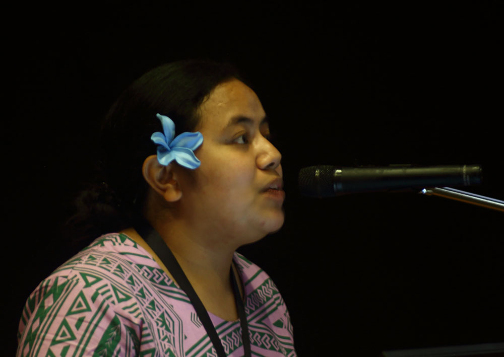
Tooa Brown
National GIS/Remote Sensing and REDD+ Expert Consultant
What we’ve been upto at Samoa’s GIS & RS User Group
Abstract
Sharing my experience as the President of Samoa’s GIS & RS User Group. I will discuss our key activities since we offically launched in Nov 2021 following the Samoa Hub FOSS4G SoTM Oceania Conference 2021. I will also be talking about the key challenges and successes that our GIS community in Samoa have experienced. We are keen to learn from around the Pacific region in setting a GIS community and ways we can improve going forward !!!
Tooa is an University of Auckland graduate (BSc in Geography and Environmental Science) and she has more than 6 years’ experience in GIS mapping, carrying out spatial surveys, cadastral surveys, carrying out infrastructure surveys using GPS, remote sensing, implementing the asset management system, and designing of centralized geodatabase, design and implementation of digital tools with GPS capacity, institutional strengthening and capacity building. She is the President for Samoa’s GIS & RS User Group as well as a Board member for the OSGeo Oceania Board.
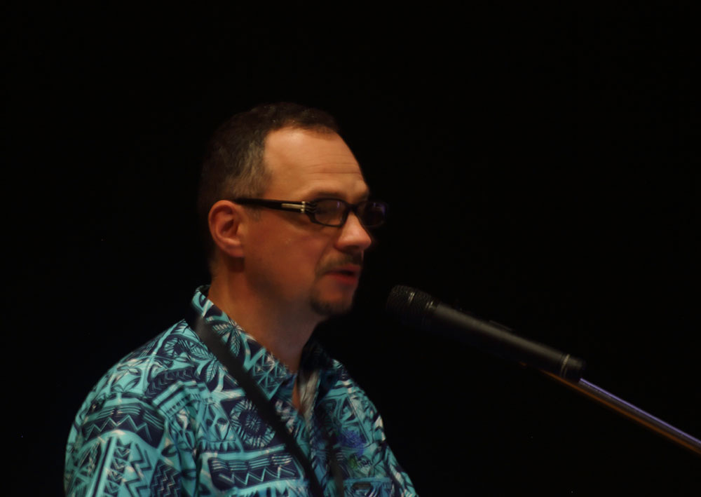
Rafael Kargren
PGRSC
The future of earth observations for Pacific Island nations

Edoardo Neerhut
Meta
Meta’s Open Geospatial Tools
Session 3 : Resource Management
Ahi Saipaia
Ministry of Agriculture Food and Forest Tonga
Implementing and using an open source farm survey and mapping system
Abstract
This talk will discuss how the Ministry of Agriculture, Food, and Forests, Tonga (MAFF), developed and adopted a workflow to: i) map and survey agricultural landscapes using the mobile GIS application, QField, and ii) manage and analyse geospatial datasets collected using QField for reporting and decision making. The talk describes the workflow including the software components QField for data collection, QFieldCloud for user and data management, and dashboards and web maps for reporting and analysis. The process MAFF’s extension division went through to transition from paper-based data collection and manual data entry to digital spatial data collection will be described. The challenges and successes of implementing a digital spatial data collection workflow will be discussed. Finally, examples of how MAFF have used this workflow will be presented including: national scale crop surveys, mapping the conditions of key commercial crops, and conducting damage assessments after the Hunga Tonga-Hunga Ha’apai eruption.
Kasaqa Tora
SPREP
Using Area Based Management Systems (ABMS) as a buffer from the effect of climate change.
Abstract
Climate change is a pervasive and growing global threat to biodiversity and ecosystem services. Such threats include shifts in the distribution of species due to fragmentations.These two drivers of change may act in synergy, with particularly disastrous impacts on biodiversity. Protected Areas (PAs)thus represent crucial buffers against the compounded effects of climate change and habitat loss PA is a clearly defined geographical space, recognised, dedicated, and managed, through legal or other effective means, to achieve the long-term conservation of nature with associated ecosystem services and cultural values.
In the Pacific, protected areas encompass more than just national parks and other areas established by central governments, which includes locally designated and managed areas receiving some level of protections of its natural resources and the environment. These consist of large areas of Natural forests, watershed areas and intact reef systems, which act as buffer against the effect of climate change such as flooding and coastal erosions and sources of food and medicines to the surrounding communities. Importantly, these areas also provide ecosystem services such as clean drinking water, clean air and most importantly habitat for important species of plants and animals.
The work that’s being done at the Secretariat of Pacific Regional Environment Programme (SPREP) is supporting these high value areas, continue to provide those ecosystem services and buffer against the impact of climate change. These ongoing supportsare possible through the data infrastructure that’s available atSPREP. These platforms provided access to Geospatial information and outputs that continues to support and inform better environment management of these high value areas continued to perform its functions.

Monifa Fiu, Wolf Forstreuter, Darlynne Takawo
SPREP, Pacific Wolf Consultant
Pacific Rainwater Harvest Using Spatially Enhanced Image Data
Abstract
Due to climate change longer periods of droughts are quite possible for small Pacific islands States especially where the ground water lens has limitations. It is essential to predict in time when an island community, depending on rainwater harvest, will run out of water.
The SPREP based project of “Impacts Assessment of Past Climate Change Adaptation Actions” investigates and supports rainwater harvest activities in Palau, Federated States of Micronesia and Tonga. The average water consumptions per person is a known figure for nearly all islands. The rainfall of the last weeks and the prediction for the next weeks can be delivered by weather forecast with increasing accuracy. The actual and potential rainwater harvest capacity is currently a
figure which needs to be monitored, needs to be more accurate and in some cases even needs to be established.
All projects have the same rainwater harvest elements which have to be documented: (i) the capacity and quality of rainwater storage tanks, (ii) the availability and quality of gutter and downpipes and (iii) the catchment area. Rainwater tanks and the link to the catchment (roof) in form of gutter and downpipes are already surveyed by local field teams. However, it is also important to have exact figures of the roof area catching the water. If these three elements are available as reliable figures the shortage of households or communities can be predicted through a simple database application.
To get accurate figures for the roof areas it was planned to send a team equipped with a drone and corresponding GNSS equipment to the outer islands. However, new satellite image data proofed to be a better solution.
Satellite image data of 30 cm spatial resolution were enhanced by a Pacific company to 15 cm for cost which were far below of the cost sending a team. The satellite images can be directly utilised in GIS environment and allow a very accurate mapping of the roofs with subsequent calculation of the roof area.
The application of spatially enhanced satellite image data for the calculation of water catchment area could be copied in other Pacific Island Countries.

Baizura Alidin
Planet
Disaster Resilience Using Agile Aerospace from Planet
Carrol Chan
Conservation Science Research Group, The University of Newcastle, SPREP
Investigating the capability to map invasive species in the Pacific
Session 4 : Open Source and Open Data
Hamish Campbell, Jonathan Ball
Koordinates
Koordinates – a platform for geospatial data, built on open
Abstract
A walk-through of new software from Koordinates, allowing your organisation to truly embrace collaborative data management. We will demonstrate a range of workflows and tasks using the Koordinates App, cloud and plugins, to allow frictionless data collaboration between teams, promote data discoverability within an organisation, and deliver your authoritative data into the software environments you are already succeeding in.
Brent Wood
NIWA
Open source spatiotemporal databases (Postgres with PostGIS and TimescaleDB)

James Ford
Toka Tū Ake EQC
Wrangling Open Pacific Elevation and Bathymetry Data with GDAL and PDAL
Abstract
Elevation and bathymetry are key datasets for resilience, navigation, and risk modelling. The Pacific is home to a number of open elevation and bathymetry datasets which come in a variety of forms and formats. This talk will cover some approaches to pre-process and unify these datasets using GDAL, PDAL, and python.
James is a New Zealand based geospatial professional with a background in geology, marine GIS, and emergency response. He currently works for Toka Tū Ake EQC (NZ Earthquake Commission) as a Geospatial Data Engineer and has had previous roles at Toitū Te Whenua Land Information New Zealand (LINZ), Waka Kotahi NZ Transport Agency (NZTA), and in the NZ Govt. Covid response. James is a frequent user of QGIS, python, GDAL, PDAL, and PostGIS.

Jonah Sullivan, Pip Bricher
Geoscience Australia,
SWPHC – Open Data Value Proposition

Ian Reese
Dragonfly Data Science
Stylized COGs: Utilising QGIS to develop stylized zoom scales in a Cloud Optimised Geotiff
Abstract
Web mapping is experiencing the loss of reliable editing and tiling software for stylized raster tiles. Editing tools like Tilemill are nearly a decade out of service, and tiling tools like gdal2tiles are focused on singular inputs to create tile caches. A reliable tool, with the capabilities to develop style rules at zoom scales for multiple raster datasets and deliver these for online use, is missing in the modern web mapping suite. This presentation puts forward a novel approach to modern raster tiling: utilising QGIS as a styling editor and the Cloud Optimised Geotiff (COG) format as a pseudo raster tile. From this, users will learn a contemporary method to base mapping, creating COGs as stylized raster tiles, and implementing them in a genuinely serverless solution.
This method is a contemporary and unique approach to raster tile creation and serverless delivery. Utilising QGIS and GDAL, the presentation demonstrates how users can export their styled imagery for each zoom scale and leverage the COG format to develop a stylized “raster tile” COG. It then demonstrates how Openlayers can consume stylized COGs in a serverless fashion. The method is presented as both a manual and scripted process, covering:
1 . Developing zoom scale rules and exporting stylized images using QGIS
2. Assembling COGs from exported images into a single scaled image
3. Delivering stylized COGs online using Openlayers GeoTiff capabilities
This presentation describes methods to modernise raster tiling and shows how implementation of this method can have a far reaching effect in mapping design. By using a COG based method, users can:
– Create unique base maps blending raster and vector data into a single file
– Develop serverless structures for raster base mapping
– Significantly decrease tile cache sizes
– Utilise COG base maps for online and offline use
– Work in custom projections
Day 2 Presentations
Session 1 : Women in GIS (Panel)
Keynote – Vasiti Soko
Keynote – Meizyanne Hicks
Panel Discussion
Session 2 : Community and Diversity
Renata Varea
University of the South Pacific
Gender and Geospatial Technologies in the Pacific
Abstract
This presentation examines how an open-source geospatial platform has the potential to improve the analysis, visualization and collection of gender-related information and approaches in supporting agricultural and climate-related policy in the Pacific. The incorporation of gender into a Pacific geospatial project is examined, with a focus on our ACIAR funded project titled Climate-smart landscapes for promoting sustainability of Pacific Island agricultural systems. In recent decades there has been increased recognition of the importance of gender in public policy initiatives related to environmental management, disaster risk reduction and climate change resilience. While geospatial technologies have increasingly contributed to these initiatives, the potential role that gender considerations can play in the design and implementation of geospatial applications is to date limited. Despite growing recognition of the power of spatial analysis in contributing to development programs, there needs to be greater focus on the potential support of GIS for mapping gender inequalities and incorporating gendered knowledge in development programs within the Pacific region. Alongside the numerous other gender mainstreaming approaches, geospatial data, spatial methods and software applications can contribute to decisions that address gender inequality for improved sustainable development.
Keywords: gender, GIS, geospatial technologies, Pacific, Climate-smart, landscapes, agriculture, climate change, environmental management, ICT4D, mapping, disaster risk, policy.
Ueakeia Martin Tofinga
University of Queensland
Empowering women in mapping local communities in Kiribati
Abstract
In this session, Ueakeia Martin Tofinga, founder and former Chairperson of the Kiribati Women in Mapping will share the story of a women-led non-government organization, the Kiribati Women in Mapping, and their journey with Open Mapping Hub – Asia Pacific to help promote the importance of mapping, open street mapping while empowering women in local communities to get involve in mapping.
Violaine Doutreleau
OPUA
Mapping accessibility in OSM with CartoMobil’ite – A new tool to collaborate between institutions and public on accessibility
Abstract
CartoMobil’ite (carto.mobilite.xyz), a collaborative map for active and inclusive mobility originally set up for Tahiti and Moorea, in French Polynesia, is now available worldwide. 100 % based on OpenData and OpenSource, this map was set with and for disabled people, and handles mapping place accessibility and obstacles. Easily adaptable to local contexts this presentation aims at empowering other communities to seize the tool.
On top of that, Violaine will present how this tool is used by the local urbanism agency.

Ewen Hill
OSGEO- Oceania
All of five kilometers
Abstract
The challenge to keep mentally and physically fit during the Melbourne COVID-19 lockdown was difficult with Melbournians permitted to just one hour of recreation within five kilometres of their home. Thus #AllOf5Km commenced and I will take you through the history and tools and how OSM data eventually was the winner and how you can leverage Wandrer.Earth for you local community mapping.
Session 3 : Open Source Workflows
Brent Wood
NIWA
Linked data, but not as you know it! Doing linked data the PostgreSQL way.

Merelita Lewabete, Kaliopate Tavola, Temalesi Cama, Cilia Rokobue
SPC
Lessons from the field: disaster risk exposure field data collection using Kobo Collect and Qfield

Ferlisa Jane Valentine
Water Authority Fiji
Water stewardship in a changing climate

Em Hain
North Road Consulting
Workflows for mixed ESRI/Open Source environments
Abstract
I’ll describe the current state of data compatibility between open source and ESRI software, and describe the various success stories and remaining pain points for mixed ESRI/opensource environments.
Our GIS ecosystems work in both the open source and ESRI habitats. Each brings tools that are chosen based upon operational, financial or personal reasons. Let’s look at the data compatibility offerings between the two and examine what needs to be developed in the future.

Magnus Wettle
EOMAP Australia
Aquatic Earth Observation: a cost-effective tool for mapping and monitoring the marine environment
Session 4 : Remote Sesnsing for Distaster Mitigation
Andra Whiteside
Aix-Marseille University
Impact of Ashes from the 2022 Tonga Volcanic Eruption on Satellite Ocean Color Signatures
Abstract
A powerful eruption within the Hunga Tonga-Hunga Ha’apai (HTHH) volcano (20.64°S, 175.19°W) in the Kingdom of Tonga, occurred on 15 January 2022. The volcanic blast was enormous, leading many scientists to investigate the full impact and magnitude of this event via satellite observations. In this study, we describe a new ocean color signature from a discolored water patch created by the HTHH eruption using NASA and CMEMS products of satellite-derived biological and optical properties. Elevated surface chlorophyll-a concentration (Chl-a) between 0.15 to 2.7 mg.m-3 was not associated with phytoplankton growth, but to basalt-andesitic ash material expelled by the volcano and into the ocean, which resulted in erroneous Chl-a estimates. Distribution of the patch over time was aligned with CMEMS ocean currents for 19 days. The gradual decrease of light attenuation or diffuse attenuation coefficient for downward irradiance at 490 nm, Kd(490), was interpreted as due to the sinking of ash particles with time. It is suggested that due to high porosity of 30-40%, a density close to that of seawater, ash particles stay suspended in the water column for more than 10 days with sustained high values in Chl-a, Kd(490), and particulate backscattering coefficient at 443 nm. The high attenuation of light due to ash, reducing the attenuation depth to less than 10 meters during the first period after the eruption may have had implications on ecological processes and biogeochemical cycles in Tongan waters.
The present work focuses on biological and optical properties extracted by Sea Data Analysis Software (SeaDAS) applied to a time series of NASA satellite images acquired pre- and post-eruption (15 January – 2 February 2022). Importantly, the study aims at explaining the apparently high Chl-a concentrations occurring post-eruption. We hypothesize that the origin of the material expelled by the volcano and the elevated chlorophyll concentrations are related to the ash itself deposited in the upper ocean and, consequently, is the result of an erroneous calculation due to a specific optical signature confounded with the Chl-a signature. We further discuss the influence of ocean currents on dispersal patterns of the ash patch and of the gradual decrease of the attenuation signal, which is interpreted as due to the sinking of particles with time.
Dr Dipak Paudyal
APAC Geospatial
Use of Synthetic Aperture Radar (SAR) imagery in Emergency Response and Disaster Management
Abstract
Synthetic Aperture Radar, or SAR, is rapidly becoming a go-to method for remote observation. The use of SAR is advantageous over other remote sensing methods, such as optical data, for several reasons. Some of the most cited are the ability to see through cloud cover and smoke, and the fact that SAR may image an area regardless of illumination conditions, so it may be used both day and night. One other key benefit is increased rate of revisit as more and more SAR sensor continue to be launched. In addition to these, SAR scenes may also cover very large areas – some are over 200 km across. SAR Imagery is therefore extremely versatile and may be used across a wide variety of applications – anything from hazard monitoring and disaster response (such as fire and flood), oceanographic monitoring for oil spills or ship detection, agricultural monitoring, change detection, subsidence, and displacement mapping through to estimation of forest biomass/carbon.
This presentation will discuss how one can make an operational use of SAR Imaging for managing natural hazards that are caused by geo-physical or climatic events, including earthquakes, volcanic eruptions, floods, droughts, storm events such as cyclones, and fire that threaten people’s lives or property. The presentation will demystify some of the jargons used in SAR Image Analysis and discuss how Geospatial Analysts can exploit the benefits that SAR imagery provides.

Alex Bandini-Maeder
Geneon
Infrastructure Vulnerability to Slope Instabilities and Floods in Bhutan
Abstract
In Bhutan, more than 70% of the population and infrastructures are located along the main river basins, making them particularly exposed to floods and landslides caused by more frequent extreme weather events.
Geoneon, in partnership with Terranum and the Department of Disaster Management (Bhutan), implemented a solution for the Climate Innovation Challenge (CIC) of the Asian Disaster Preparedness Center (ADPC) to assess the vulnerability of infrastructures to slope instabilities and floods in Bhutan to support the development of strategies for disaster risk reduction and climate change adaptation.
The aim of the solution is to identify hot spots where critical infrastructures are the most vulnerable to climatic disaster, so to support decision-makers to develop appropriate mitigation and monitoring measures to reduce the number of affected people, direct economic loss, damage to critical infrastructure, and disruption of critical services to the community.
This pilot delivered, for both Phuentsholing – Pasakha and Gelephu watersheds in Bhutan – about 400km2 –, the following outputs, which achieved the agreed scope of work:
• Very-high resolution and multi-band satellite data covering the pilot area of interest.
• An infrastructure model based on replacement value metric.
• An inventory of existing sudden shallow landslides or other erosional processes, and of permanent large deep-seated slow-moving earth- and rock- slides.
• Rockfall, debris flow, large torrent, and flood susceptibility maps.
• A vulnerability model of buildings, roads, and power lines to rockfall, debris flow, and flood at a grid resolution of 30-by-30 meters.
• Recommendations about mitigation measures.
In addition, a webpage (ADPC (geoneon.com)) containing web-maps of all the results of the pilot was prepared and made available online, so to improve the communication of the results. The web-maps presenting the different hazard susceptibility and vulnerability are a valuable resource for the Department of Disaster Management to promote awareness and communicate with local governments about disaster risk reduction and climate change adaptation. Especially in areas where limited information is available.
The pilot has demonstrated that it is possible to have a methodology using mainly satellite data and advanced algorithms, including machine learning, as a fast and scalable way to identify infrastructure vulnerability hotspots. Therefore, the solution is highly scalable, fast, and can be applied anywhere in the world.

Awnesh Singh
USP
Analysis of surface turbidity from Sentinel-2 images and a 3D-coupled model : Case study on Laucala Bay, Fiji Islands
Chan-Su Yang
Organisation
Design on Marine Pollution Monitoring System Using Multiple Remote Sensing Data
Lightning Talks
Lanieta Roko
USP
Yadrava na Vanua : Measurement Reporting and Verification of forestry resources and landscape restoration projects
Carrol Chan
OSM Fiji
Building our open mapping community – The progression of OSM Fiji
Alex Bandini-Maeder
Geoneon
A Rapid Method for Heatwave Vulnerability Assessment
Johnny Tarry Nimau
Vanuatu Department of Climate Change
Pacific Risk Tool for Resilience project, Phase 2

Hamish Campbell
Koordinates
QGIS Data Versioning with Kart
Maurice Borer
BlackSky
BlackSky Presentation
Day 3 Presentations
Session 1: Climate Resilience
Can Unen
OSM Trainer
Keynote
Sustainable Community Dynamics in Open Mapping
Cécile Dupouy
IRD
Ocean Color in Pacific tropical archipelagos (phytoplankton blooms in ocean and lagoons): a review of algorithms
Abstract
The Southwest Tropical Pacific oceanic waters are mostly blue. Still, these large ocean areas are subject to phytoplankton blooms, developing within archipelagos, sometimes in connection with lagoons surrounding islands. Results of studies for discriminating phytoplankton species in the ocean or validating regional algorithms for chlorophyll in enclosed lagoons will be shown. Perspectives will be given for future ocean color works at all scales as an aid for surveying coastal areas and lagoons of Pacific Islands States, from a climate change standpoint

Pascal Bolz
University of Queensland
High-resolution erosion modelling using the RUSLE applied to open-cut coal operations under consideration of increased rainfall variability in climate change models
Abstract
While coal mining in Australia and most other industrial nations in the world is phasing out in the next few decades, the mining industry must face the current and near future effects of climate change and its impacts on mine operations regardless of their current state in the life-of-mine cycle. Increasing rainfall variability in current climate models and the resulting effects on soil erosion volumes are directly affecting a variety of operational considerations, such as (1) sediment basin design as part of the water management plan on site, (2) ongoing rehabilitation with reestablishment of vegetation cover of previously stripped landscapes, and (3) landform stability as part of the mine closure requirements. Most erosion models provide estimates of annual soil loss and are suitable for short-term assessment of the erosion performance of landforms integrating biophysical data such as soil properties, vegetation cover, topography and rainfall variability and are suitable to provide guidance in operational decisions concerning (1) and (2). The GIS-based Revised Universal Soil Loss Equation (RUSLE) provides annual soil loss estimates on an empirical basis and requires a manageable amount of input data that can be directly measured or derived from regional/national databases and/or spatial datasets for most parts of the world. Detailed assessment of soil erosion within mining operations, however, requires some data with spatially high resolution of a few meters especially for topography and vegetation cover to capture the complexity of mine operations. These datasets are regularly acquired by mine operators using aerial surveys and can be integrated with regional dataset to derive a pixel-based, high-resolution annual erosion estimate. In this study we demonstrate the data integration of such a model at mine site scale with a catchment model under consideration of operational domains, and its implications for the design of sediment control structures and performance of rehabilitation efforts.

Khaled Mashfiq
UNOSAT
Unlocking the potential of Geospatial Technologies for Climate Resilience
Session 2: Data Management and Infrastructure
Jonah Sullivan
Geoscience Australia
Georegulation – standardising the digital representation of maritime boundary data
Abstract
The IHO S-121 data interchange standard enables an open, international, coordinate-based, representation of maritime boundaries and their associated rights, restrictions, and responsibilities (RRRs) that are authoritative and easy to interpret. The standard has been published by the IHO and is currently informing the development of ISO 19152 Land Administration Domain Model (LADM) — Part 3: Marine Georegulation.
This presentation will provide an overview of how the S-121 and 19152-3 standards have been developed and where Georegulation is going next.

Alex Bandini-Maeder
Geoneon
Supply Chain Vulnerability to Wildfire in Australia
Abstract
The Shire of Dundas , the Freight and Logistics Council of WA, and Geoneon are partnering on a proof of concept project to assess the exposure and vulnerability of the supply chains to wildfire in the Southern Goldfields region in Western Australia.
The pilot project uses state of the art techniques using machine learning on earth observation data combined with freight flow analysis to evaluate the vulnerability of key supply chain infrastructure to wildfire in the Goldfields region.
The objective of the pilot project is to develop a new approach to identify points of failure in supply chain at the community, local government, and state levels.

Rémi Andreoli
BLUECHAM SAS
NewSpace Technologies to fasten change detection linked to urban uncontrolled growth
Abstract
Digital platform, datacubes and cloud computing technologies are changing our approach to monitor our environment. This presentation will focuses on these new possibilities applied to the early detection of changes linked with urban uncontrolled growth in the Pacific Islands.
Squats or unregulated settlements are made from recycled materials where settle thousands of inhabitants around the city of Nouméa, New Caledonia. In addition to health and security concerns, unregulated settlements are prone to damages during cyclone and deliver deadly projectiles in high winds. Furthermore, the increase in drought during the dry season leaded the last years in serious water supply problems.
Relocating long-established populations is always a challenge. The solution proposed is to detect early installation in order to propose alternatives solutions to population before they settle.

Thompson Auri, Orisi Naivalurua
PCRAFI project
Preliminary results of the exposure data collected through the PCRAFI project
Abstract
Disaster risk management associated with increasing climatic stressors are often a central and streamlined area for policies and programs in Pacific Island Countries (PICs). Estimates of average annual direct loss caused by natural disasters have reached US$1.07 billion across all Pacific Small Island Developing States (UNESCAP, 2020). Across PICs, there is a high level of exposure to both seismic and climate-related hazards.
This study documents the results from field data collected from over 10,000 assets across both Tonga and Vanuatu, and possibly Solomon Islands. These fields include the GPS point, description of the building, use and sub-use occupancy class, foundation, bracing, structure, wall, window and roof types, materials and conditions, minimum and maximum floor height above ground, year of construction, number of storeys and understoreys and utilities. Capturing these standardized datasets allows for a general understanding of the exposure to a range of hazards.
In this presentation we will share analyses of the results of the exposure data collected across these PICs. The presentation will also touch on the opportunities that exist in the region to build upon this work. These insights can support an evidence base built on field data inputs for more accurate policy decision-making processes
Session 3: Open Source Workflow and Data Management
Brent Wood
NIWA
QGIS and Spatialite – how to deploy these for intelligent field based data capture

Jonathan Ball
Koordinates
Git and GitHub are knocking on geospatial’s door
Abstract
An overview of the benefits distributed version control offers geospatial data. We are all aware that geospatial is a powerful tool to inform decision-makers, especially in the context of climate change, but is our data stored and managed appropriately given the gravity of these decisions? We will discuss how introducing common practices from the software development community might prevent some industry embarrassment in 10-20 years.

Pascal Correia, Rémi Andreoli
French Polynesia Marine Resources Department, BLUECHAM SAS
The use of Digital Platform for Marine Spatial Planning: the TAHATAI project in French Polynesia.
Abstract
French Polynesia is the largest EEZ (Exclusive Economic Zone) of France (5 millions of sqkm) in the middle of the South Pacific, in one of the most preserved and sanctuary areas in the world. The government of French Polynesia therefore has the strong will to ensure its development through the blue economy and the preservation of its natural and cultural resources.
In line with the action carried out by the European Union since the adoption in 2007 of the Maritime Integration Policy, French Polynesia aims to acquire a Maritime Spatial Planning (MSP) in order to bring together all users of the oceanic and lagoon areas in order to guide public action and coordinate the sustainable use of marine resources.
French Polynesia must overcome the following challenges:
• Protect a unique and still preserved maritime area
• Plan the use of maritime areas by anticipating usage conflicts
• Enable economic development
The TAHATAI project can be summed up in the following credo: See the Past, Present and Future by using the best available, organized and shared data in order to create the necessary corpus of knowledge for effective, accepted marine spatial planning and sustainable.
Concretely, the objectives to be achieved by the TAHATAI project are broken down into four axes: Alert, Manage, Plan, and Collaborate regionally.
The TAHATAI project approach is based on the interoperability and capabilities of new web and cloud technologies in order to bring together all the data and information necessary for marine spatial planning.
The increased responsiveness of public authorities to the challenges of surveillance and protection of maritime areas is notably made possible by the paradigm shift in the method of accessing data. In fact, the customer / supplier relationship constrained by the rules of public procurement are, within the framework of this project, replaced by a public / private / research collaboration upstream from the design of the services.
TAHATAI is labeled by the Space Climate Observatory (SCO) initiative.

Hamish Campbell
Koordinates
Kart: an introduction to practical data versioning for geospatial data
Abstract
We’re drowning in data, but the geospatial world lags badly behind in versioning tools compared to our software counterparts. Kart is solving this with a practical open tool for versioning datasets, enabling you to work more efficiently and collaborate better.
We will introduce you to Kart and demonstrate some of the key features, including our QGIS plugin. And we’ll highlight what’s coming next on our roadmap.
Kart allows you to quickly and easily manage history, branches, data schemas, and synchronisation for large & small datasets between different working copy formats, operating systems, and software ecosystems.
Modern version control unlocks efficient collaboration, both within teams and across organisations meaning everyone stays on the same page, you can review and trace changes easily: ultimately using your time more efficiently.
Yohni Fepuleai and Dennis Yehilomo
FFA
FFA Remote Sensing to combat IUU fishing in the Pacific
Session 4: Protecting the Pacific

Dragos Bratasanu
Auckland Council
Earth Observation Strategies that Deliver Tangible Results: Insights from New Zealand
Ryan Perroy
University of Hawaii at Hilo
Precision agroforestry inventory monitoring in the Marshall Islands
Abstract
Traditional agroforestry species provide food security and income across the Pacific Islands, through copra production and other goods. The hardiness and resilience of several traditional species (especially coconut and pandanus) are a bulwark against instability and erosion associated with climate change. Protecting and managing these resources requires detailed and current knowledge of agroforestry inventories and crop conditions. Production losses due to senile trees, disease and pest infestations, and erosion and soil salinization from rising sea levels are just some of the issues facing Pacific Island agroforestry partners and stakeholders. In this talk we will share some results performing agroforestry inventory and monitoring through the collection and analysis of high-resolution imagery using automated artificial intelligence (AI) algorithms for a number of atolls within the Republic of the Marshall Islands.
Alexandra Nozik
Leibniz Centre for Tropical Marine Research (ZMT)
Typology of Reef Passages: A view from above
Abstract
Coral reefs host exceptionally diverse marine life. Reef passages connect coasts with the open ocean and provide multiple social and ecological benefits, but are so far neither characterized nor recognized for their multifaceted significance. The presented study was part of the SOCPacific project. Due to COVID-19, we developed this study based on remotely sensed Google Earth imagery. We investigated 113 reef passages across nine Pacific islands in Fiji, New Caledonia and Vanuatu and, in partnership with locally based scientists, developed criteria to define three distinct types, mainly based on distance to coastline and presence/absence of an enclosed water body. The presentation will cover the methodology, the experienced limitations and challenges, and will open further development of this GIS-based study to discussion.
Alexandra Nozik is working as Geodata specialist at the Leibniz Centre for Tropical Marine Research (ZMT) in Bremen, Germany. The interdisciplinary SOCPacific project (co-funded by the French ANR and the German DFG research funding agencies; https://socpacific.net) explores the large web of socio-cultural, geopolitical and policy connections within which fishing practices in the South Pacific islands focusing on Fiji, New Caledonia and Vanuatu. It offers a cross-sectional and multi-level approach to fisheries in Oceania, based largely on empirical social science research. Including remotely sensed data in this interdisciplinary research can possibly give spatial context and deepen the understanding of research on the ground. The potential of available datasets or self-monitored UAV data for methodology development can be investigated in the future.
Cécile Dupouy
IRD
RERIPA project: the use of Remote Sensing data for helping coastal surveys
Abstract
The RERIPA of OACPS EU innovation Program aims at Strengthening Research and Innovation ecosystem to address the Impact of climate change (CCI) in the Pacific. Create user centred Living Labs, i.e. consortia of public private stakeholders following an open innovation approach, to develop inclusive and sustainable innovative solutions founded on research-based evidence to address the Climate Change Impacts in the Pacific Small Islands Developing States (SIDS), with a special focus on:
– Coastal vulnerability ; – Lagoon and ocean health; – Sea level rise. Remote Sensing will be a useful tool in these projects

Dae-Woon Shin
Organisation
MONITORING OF FISHING VESSEL ACTIVITIES USING SATELLITE DATA AND AIS
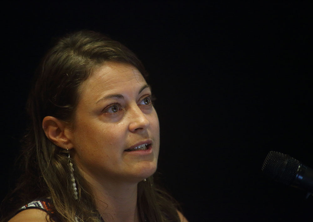
Maria Kottermair
University of Queensland
2D and 3D Shoreline Changes of Reef Islands
Closing Session
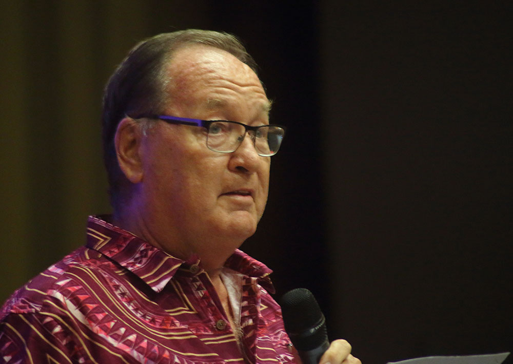
Dr. Russell Howorth
PGRSC
Pacific Geospatial Conference Closing Keynote
Day 4 Workshops
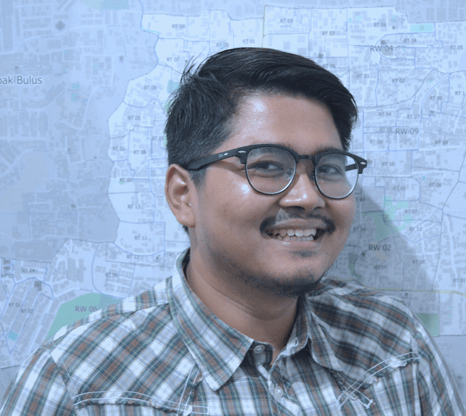
Harry Mahardhika Machmud
Humanitarian OpenStreetMap Team
InaSAFE: Plan your Disaster Impact Scenario Easily and Effectively

Dr Dipak Paudyal
APAC
Applications and Benefits of Synthetic Aperture Radar (SAR)

James Ford
Toka Tū Ake EQC
An introduction to using GDAL, PDAL, and Python for Processing Elevation and Nathymetry data
Em Hain
OSGeo Oceania
QGIS tips and tricks from the Community

Mithil Shah
Amazon Web Services
Geospatial Intelligence in the Cloud
Poster Competition
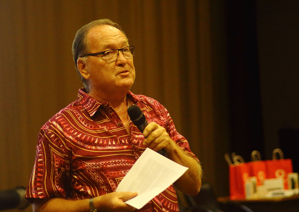
Dr Russel Howorth
PGRSC
Poster Competition Winners
Student Poster Competition
