
-
PGRSC 2026 | Speaker Spotlight: SPC Researchers Explore Radar Monitoring and Samoa’s Coastal Vulnerability

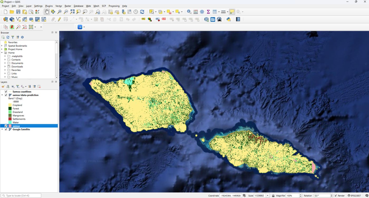
Cloud cover and changing coastlines pose different challenges for environmental monitoring. Vasemaca Naraukawa, Fayth Tikotani and Elenoa Cibaiwasawasa are contributing two studies that explore how geospatial analysis can help address them in the Pacific.
-
Registration Is Open: Join the Pacific Geospatial Community in Suva
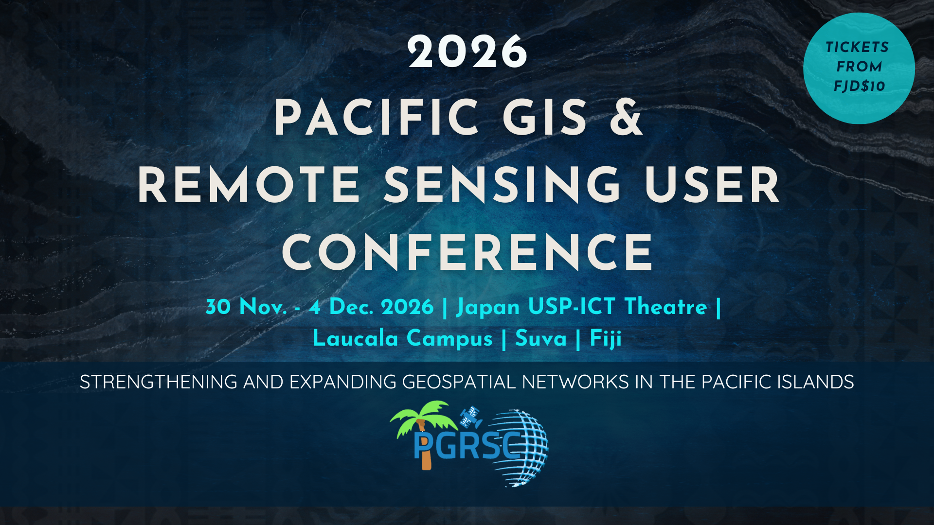
Planning to join us in Suva? Conference registration is open. Register to take part in five days of presentations, workshops and opportunities to connect with geospatial professionals from across the Pacific and beyond. Visit the registration page for current ticket options and payment information. If you would also like to present your work, check the…
-
PGRSC 2026 | Speaker Spotlight: Wolf Forstreuter and Andiswa Mlisa on Building Pacific Geospatial Networks

What helps a geospatial network endure? Two contributions to this year’s conference connect the Pacific’s early GIS collaborations with the practical information services being developed today.
-
Call for Presentations and Workshops: Submit Your Abstract by 31 October
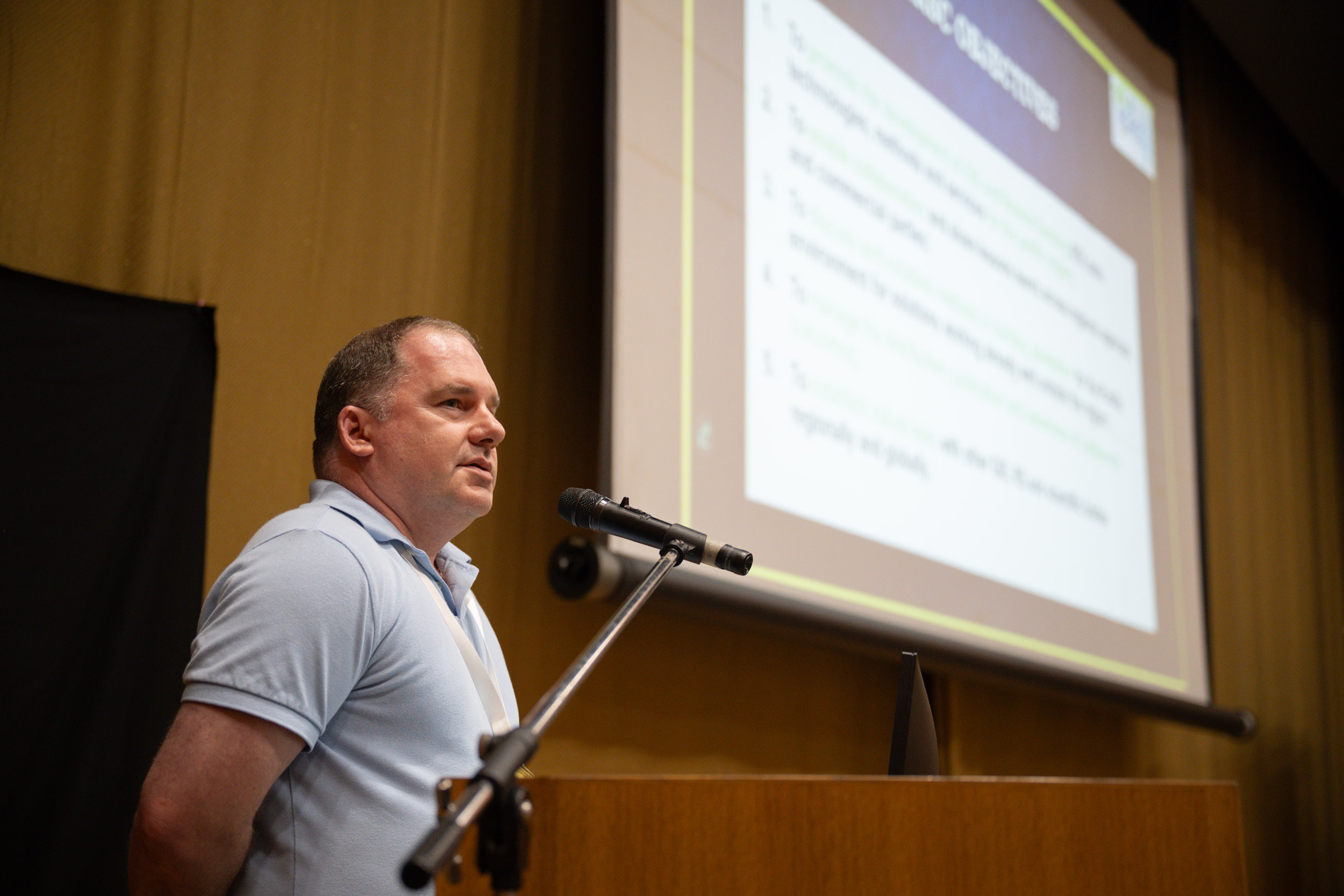
Share your geospatial work with the Pacific community. Abstract submissions for presentations and workshops are open until 31 October 2026. We welcome proposals showcasing research, practical applications, projects and experiences relevant to geospatial work across the Pacific. Prepare your abstract, choose your presentation format and submit your proposal online. You can also register now to…
-
Upcoming Webinar | Disaster and Climate Resilience: The Value of Open Geospatial Standards


Thursday, 29 October 2026 | 3:30–5:00 PM (Fiji Time, UTC+12) | Online How can open geospatial standards strengthen disaster preparedness and climate resilience across the Pacific? The Pacific GIS & Remote Sensing Council (PGRSC) invites the Pacific geospatial community to an upcoming webinar featuring Harsha Madiraju, Associate Director – Member Services & Development at the…
-
New Abstract Submission Guide Available
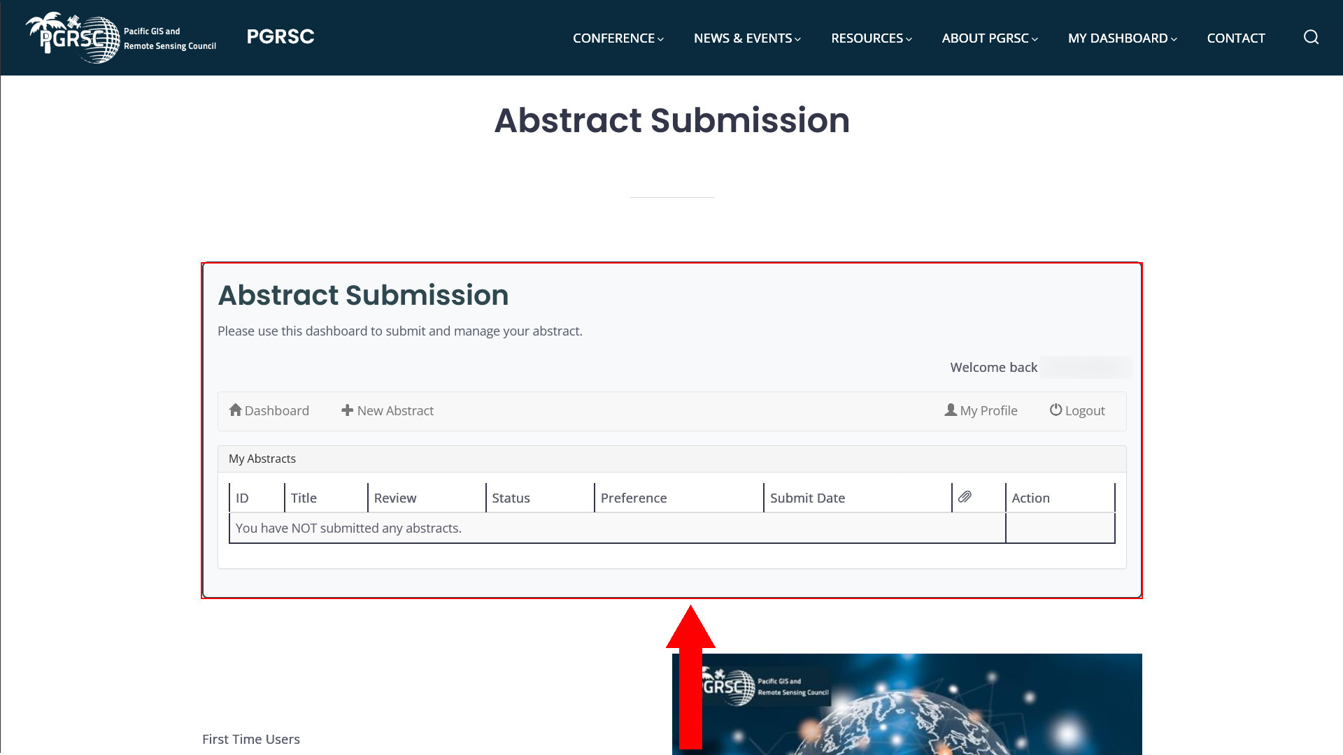
Planning to submit an abstract for the Pacific Islands GIS & Remote Sensing User Conference? We have published a new step-by-step Abstract Submission Guide to help you through the entire process — from logging in and accessing the submission dashboard to completing your abstract, selecting your presentation format, uploading supporting material, and managing your submission.…
-
Call for Presentations and Workshops at the 2026 Pacific Islands GIS & Remote Sensing Conference – Suva, Fiji – November 30-December 4, 2026
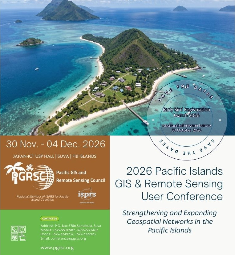
We are less than 120 days away from the 2026 Pacific Islands GIS and Remote Sensing User Conference held in Suva, Fiji from November 30 to December 4, 2026. This year’s conference theme is “Strengthening and Expanding Geospatial Networks in the Pacific Islands”. To best showcase all of the exciting work around the Pacific Islands region,…
-
A New PGRSC Member: Kiribati GIS User Group / MELAD GIS User Group
PGRSC is pleased to annouce a new institutional member: Kiribati GIS User Group / MELAD GIS User Group The Ministry of Environment, Lands and Agricultural Development (MELAD), through its GIS and Remote Sensing Unit, is pleased to support the Pacific GIS and Remote Sensing Council (PGRSC). As a Small Island Developing State facing unique environmental…
-
Reminder: Free FME Accelerator Workshop for the PGRSC Community
Event: FME Accelerator Date: Wednesday 29 July 2026 Time: 10:00am FJT Who: Anyone can join! No prior FME, coding or GIS experience is needed. Registration URL: https://locusglobal.com/fme-accelerator-registration-29-july-2026/ Description: As an organizational member of the Pacific GIS and Remote Sensing Council, Locus is excited to host a free, virtual FME Accelerator workshop for the PGRSC community. This interactive 90 minute session is…
-
Job opportunity: Digital Earth Pacific Platform Engineer

Pacific Community-SPC — New Caledonia — Deadline: 2026-07-26
-
Free French-language Open Online Course (MOOC) on Space from CNES
The Pacific GIS & Remote Sensing Council (PGRSC) is pleased to share a valuable learning opportunity for our French-speaking members. The French National Centre for Space Studies (CNES) offers a free online course (MOOC) introducing the fascinating world of space and its many applications. Designed for a broad audience, this four-hour course explores: Whether you…
-
A New PGRSC Member: Tauhã

PGRSC is pleased to annouce a new institutional member: Tauhã Founded in New Caledonia in 2025, Tauhã is a climate-tech start-up dedicated to building a network of virtual environmental monitoring stations powered by satellite Earth observation and artificial intelligence. Tauhã develops non-intrusive monitoring solutions that continuously analyse environmental change and transform complex satellite data into…
-
A New PGRSC Member: Northern Mariana Islands Division of Fish and Wildlife

PGRSC is pleased to annouce a new institutional member: Northern Mariana Islands Division of Fish and Wildlife The Commonwealth of the Northern Mariana Islands (CNMI) Division of Fish and Wildlife (DFW) has been implementing geospatial technology for processing, organizing, analyzing, and long-term archiving of biological data for conservation projects. To support decision making, the CNMI…
-
Free FME Accelerator Workshop for the PGRSC Community

Event: FME Accelerator Date: Wednesday 29 July 2026 Time: 10:00am FJT Who: Anyone can join! No prior FME, coding or GIS experience is needed. Registration URL: https://locusglobal.com/fme-accelerator-registration-29-july-2026/ Description: As an organizational member of the Pacific GIS and Remote Sensing Council, Locus is excited to host a free, virtual FME Accelerator workshop for the PGRSC community. This interactive 90 minute session is…
-
Pacific GIS & RS Newsletter – Issue 1, 2026 Now Available
The Pacific GIS and Remote Sensing Council (PGRSC) is pleased to announce the release of the Pacific Islands GIS & RS Newsletter – Issue 1, 2026. This new edition highlights a diverse range of geospatial initiatives, technical developments, and regional experiences from across the Pacific, demonstrating how GIS, Remote Sensing, drones, open-source technologies, and environmental…
-
A New PGRSC Member: Mangoesmapping
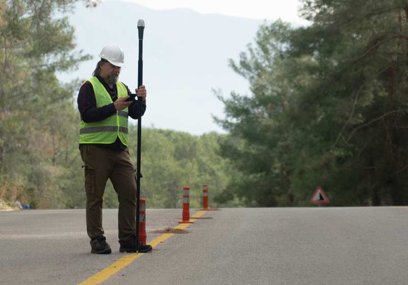
PGRSC is pleased to annouce a new institutional member: Mangoesmapping Mangoesmapping is excited to join the Pacific GIS and Remote Sensing Council (PGRSC) and contribute to a growing community of geospatial professionals working across tropical and remote regions in Oceania. With extensive experience operating throughout rural and remote tropical Australia, New Zealand and the Pacific,…
-
Introducing the New PGRSC Member Dashboard
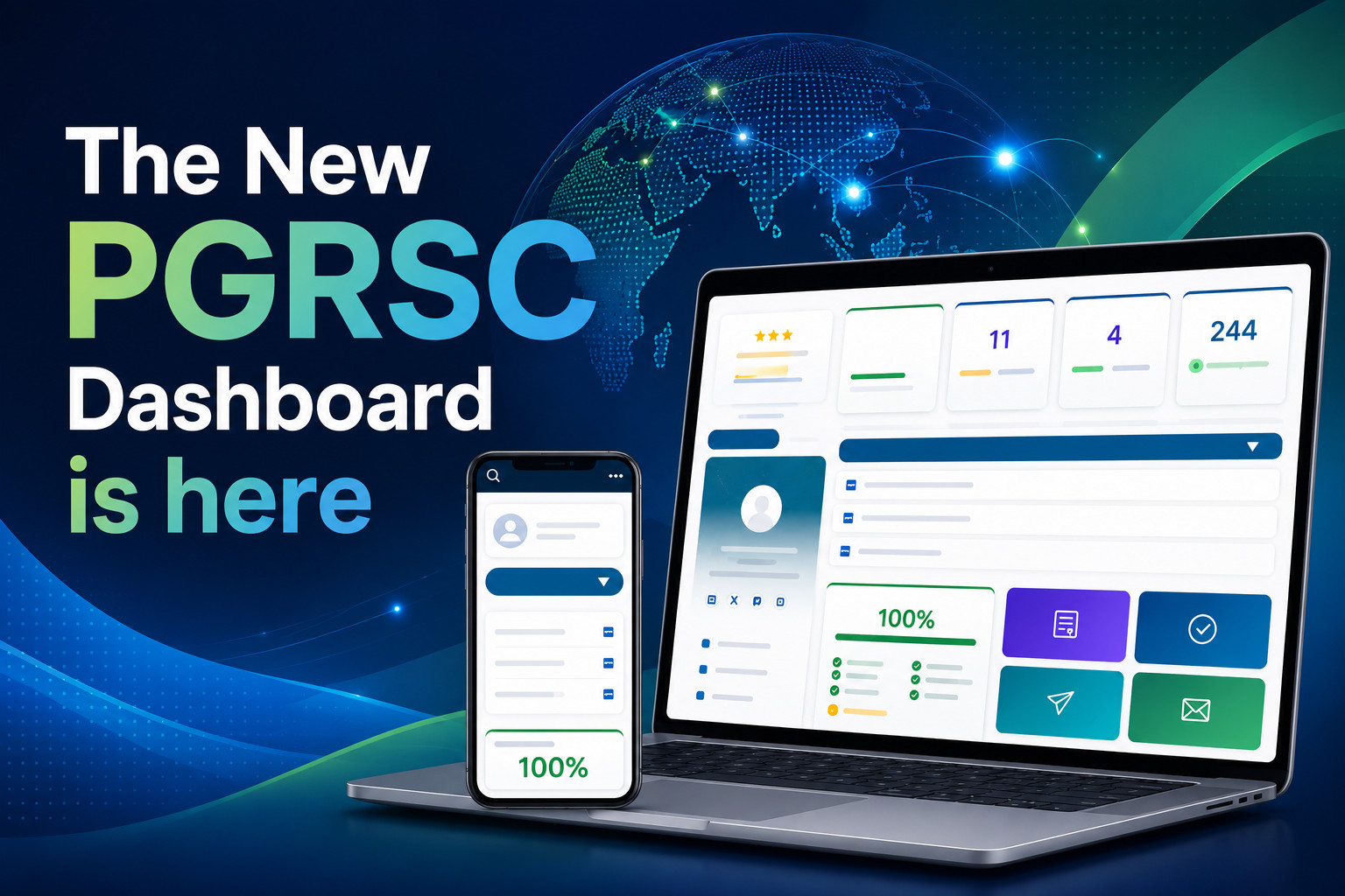
The new dashboard is now automatically accessible to all members immediately after login. This evolution represents an important step toward supporting the PGRSC Roadmap and delivering a more connected, dynamic, and operational experience for the Pacific GIS & Remote Sensing community. A More Centralized Member Experience Over the past years, PGRSC activities, conferences, consultant services,…
-
A New PGRSC Member: The Spatial Distillery Company

PGRSC is pleased to annouce a new institutional member: The Spatial Distillery Company The Spatial Distillery Co. is an Australian geospatial consultancy and technology partner delivering spatial software, satellite imagery, data, training, and professional services that help organisations across the Pacific Islands region make better decisions through location intelligence. We work with a broad range…
-
A New PGRSC Member: MAGIS
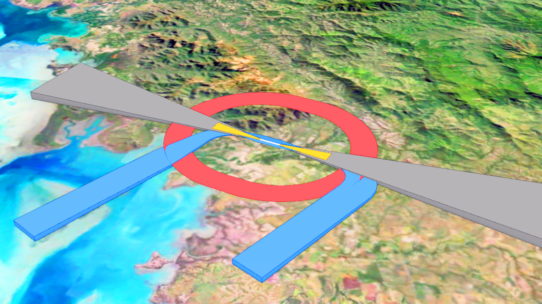
PGRSC is pleased to annouce a new institutional member: MAGIS Based in Nouméa, New Caledonia, since 2010, MAGIS is an IT firm specializing in Geographic Information Systems (GIS) tailored to the unique needs of Pacific Island nations. MAGIS empower decision-makers and local actors by transforming complex spatial data into intuitive, autonomous business solutions for sustainable…
-
A New PGRSC Member: PCRP

PGRSC is pleased to annouce a new institutional member: PCRP Based in the Northern Mariana Islands, PCRP is a small non-profit devoted to better understanding, visualizing, and improving coastal environments in the Pacific Islands Region. Our work draws on a wide-range of expertise and capacities, including environmental planning, marine debris removal, geospatial analysis & mapping,…
-
Free Massive Open Online Course (MOOC) from ESRI entitled: Make an Impact with Modern Geo Apps
Please find the following link for a free Massive Open Online Course (MOOC) from ESRI entitled: Make an Impact with Modern Geo Apps. The class runs from Apr 8 – May 6, 2026. Registration closes on April 16, 2026. Thank you to Sarah Pitcher Campbell from Eagle Technology for sharing this information. Make an Impact with Modern Geo…
-
A New PGRSC Member: Locus

PGRSC is pleased to annouce a new institutional member: Locus. Locus is a New Zealand based data integration consultancy with over 20 years’ experience in automation and enterprise GIS. We specialise in spatial data integration and intelligent workflows using FME, Esri technologies and modern data platforms. Our focus is knowledge transfer and capability building. Providing…
-
Free GIS and Remote Sensing Resources Series – Week 22: SPC’s QGIS Manual for Census and Survey Mapping
This week, we will explore The Pacific Community (SPC) Statistics for Development Division (SDD)’s tools for using QGIS to map and analyse census and survey data. Week 22: Are you interested in learning how to use open source software for census and survey mapping? The Pacific Community (SPC) Statistics for Development Division (SDD) produced a training manual to assist anyone wishing…
-
A New PGRSC Member: Government of New Caledonia
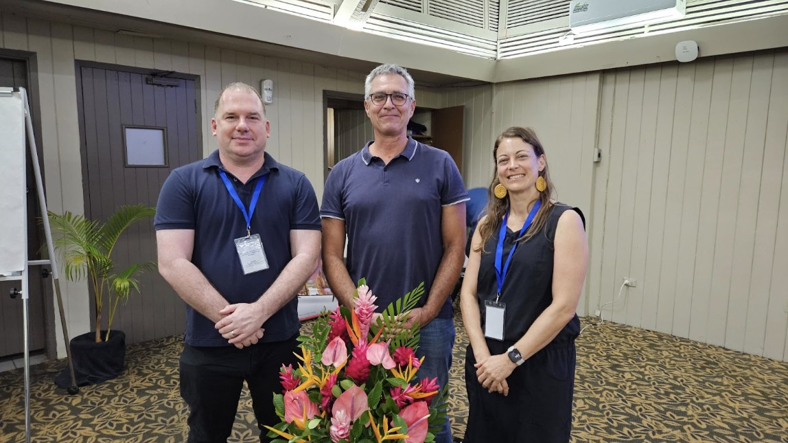
PGRSC is pleased to annouce a new institutional member: the Government of New Caledonia New Caledonia officially joins the PGRSC The Government of New Caledonia has officially formalized its membership in the Pacific GIS and Remote Sensing Council (PGRSC). This strategic move is excellent news for the territory, promising to enhance its technological influence and…
-
Free GIS and Remote Sensing Resources Series – Week 21: Digital Earth Pacific

On behalf of the Pacific GIS and Remote Sensing Council (PGRSC), we welcome you to Week 21 of our series to promote free GIS and remote sensing resources (webinars, instructional videos, technical manuals, e-books, etc.) to increase capacity, awareness, and skill development for the Pacific Islands geospatial community. Last week, we looked at a free online course from Spatial…
-
Free GIS and Remote Sensing Resources Series – Week 20: Python Foundation for Spatial Analysis
On behalf of the Pacific GIS and Remote Sensing Council (PGRSC), we welcome you to Week 20 of our series to promote free GIS and remote sensing resources (webinars, instructional videos, technical manuals, e-books, etc.) to increase capacity, awareness, and skill development for the Pacific Islands geospatial community. This week we will explore a free online course…
-
PGRSC Renews Its Regional Membership with ISPRS

The Pacific GIS & Remote Sensing Council (PGRSC) is proud to announce the renewal of its Regional Membership with the ISPRS, reaffirming its role as a key institutional representative of the Pacific region within the global geospatial science community. As a recognized regional member, Pacific GIS & Remote Sensing Council serves as a bridge between…
-
NOAA CoastWatch/PacIOOS Satellite and Ocean Data Training Course
Based on the popularity of their workshop at the 2024 Pacific Islands GIS and Remote Sensing User Conference and their recent PGRSC webinar from October 2025; the National Oceanic and Atmospheric Administration (NOAA) CoastWatch and Pacific Islands Ocean Observing System (PacIOOS) would like to formally invite you to attend the free NOAA CoastWatch/PacIOOS Satellite and Ocean Data Training Course. This course…
-
Free GIS and Remote Sensing Resources Series – Weeks 13-20
On behalf of the Pacific GIS and Remote Sensing Council (PGRSC), we apologize for the pause in our series to promote free GIS and remote sensing resources (webinars, instructional videos, technical manuals, e-books, etc.) to increase capacity, awareness, and skill development for the Pacific Islands geospatial community. During November and December, we were quite busy preparing…
-
Happy New Year from PGRSC!
As we step into a new year, PGRSC extends its warmest wishes to all our partners, communities, and supporters around the world. The year ahead brings new challenges, but also renewed opportunities to strengthen solidarity, promote resilience, and work collectively toward a more sustainable and equitable future. Guided by our shared values and commitments, we…
-
🌐 Just Released: 2025 Issue 2 of the Pacific Islands GIS & RS Newsletter!

We’re excited to share the newest issue of the Pacific Islands GIS & Remote Sensing Newsletter — now available! In this edition, we spotlight a major step forward for the Pacific geospatial community: a new Memorandum of Understanding between the Pacific Community (SPC) and the Pacific GIS & Remote Sensing Council (PGRSC). This partnership strengthens…
-
Sponsor


On behalf of PGRSC, we would like to extend our deepest appreciation to 𝗔𝗾𝘂𝗮 𝗣𝗮𝗰𝗶𝗳𝗶𝗰 for being a 𝗦𝗽𝗼𝗻𝘀𝗼𝗿 of PGRSC and the 2025 Pacific Islands GIS and Remote Sensing User Conference in Suva, Fiji! 𝗔𝗾𝘂𝗮 𝗣𝗮𝗰𝗶𝗳𝗶𝗰 is Fiji’s premiere water suppliers. Hailing from the pristine landscapes of Fiji, 𝗔𝗾𝘂𝗮 𝗣𝗮𝗰𝗶𝗳𝗶𝗰’s artesian mineral water encapsulates…
-
Sponsor
On behalf of PGRSC, we would like to extend our deepest appreciation to LandPro Ltd. for being a Sponsor of PGRSC and the 2025 Pacific Islands GIS and Remote Sensing User Conference in Suva, Fiji! LandPro Ltd. is a multi-disciplinary team of environmental consultants using smart technology and deep local expertise to support better outcomes for people, land, and…
-
Bronze Sponsor
On behalf of PGRSC, we would like to extend our deepest appreciation to OSGeo Oceania for being a 𝗕𝗿𝗼𝗻𝘇𝗲 𝗦𝗽𝗼𝗻𝘀𝗼𝗿 of PGRSC and the 2025 Pacific Islands GIS and Remote Sensing User Conference in Suva, Fiji! 𝗢𝗦𝗚𝗲𝗼 𝗢𝗰𝗲𝗮𝗻𝗶𝗮 is a volunteer organisation devoted to growing and enabling the OpenStreetMap and Open Source Geospatial communities in…
-
Poster Contest and Bronze Sponsor
On behalf of PGRSC, we would like to extend our deepest appreciation to Vodafone Fiji for being the 𝗣𝗼𝘀𝘁𝗲𝗿 𝗖𝗼𝗻𝘁𝗲𝘀𝘁 𝗮𝗻𝗱 𝗕𝗿𝗼𝗻𝘇𝗲 𝗦𝗽𝗼𝗻𝘀𝗼𝗿 of PGRSC and the 2025 Pacific Islands GIS and Remote Sensing User Conference in Suva, Fiji! 𝗩𝗼𝗱𝗮𝗳𝗼𝗻𝗲 𝗙𝗶𝗷𝗶 is Fiji’s leading mobile telecommunications provider, serving thousands of customers. https://www.vodafone.com.fj
-
Gold Sponsor
On behalf of PGRSC, we would like to extend our deepest appreciation to 𝗗𝗮𝘁𝗮𝗧𝗲𝗿𝗿𝗮 and the 𝗙𝗿𝗲𝗻𝗰𝗵 𝗣𝗮𝗰𝗶𝗳𝗶𝗰 𝗙𝘂𝗻𝗱 for being 𝗚𝗼𝗹𝗱 𝗦𝗽𝗼𝗻𝘀𝗼𝗿𝘀 of PGRSC and the 2025 Pacific Islands GIS and Remote Sensing User Conference in Suva, Fiji! 𝗗𝗮𝘁𝗮 𝗧𝗲𝗿𝗿𝗮 is a research institution whose aim is to make atmospheric, climatic, oceanographic, seismic and…
-
Still time to Register!
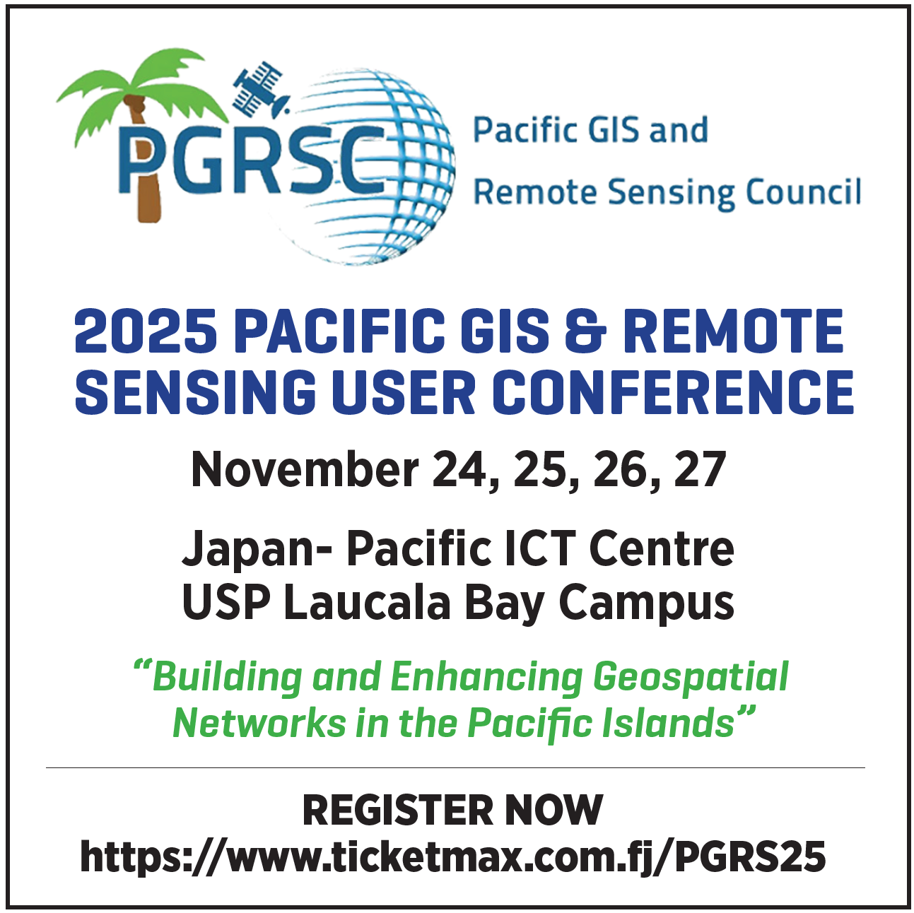
What: 𝟮𝟬𝟮𝟱 𝗣𝗮𝗰𝗶𝗳𝗶𝗰 𝗜𝘀𝗹𝗮𝗻𝗱𝘀 𝗚𝗜𝗦 𝗮𝗻𝗱 𝗥𝗲𝗺𝗼𝘁𝗲 𝗦𝗲𝗻𝘀𝗶𝗻𝗴 𝗨𝘀𝗲𝗿 𝗖𝗼𝗻𝗳𝗲𝗿𝗲𝗻𝗰𝗲Where: 𝗨𝗻𝗶𝘃𝗲𝗿𝘀𝗶𝘁𝘆 𝗼𝗳 𝘁𝗵𝗲 𝗦𝗼𝘂𝘁𝗵 𝗣𝗮𝗰𝗶𝗳𝗶𝗰, 𝗦𝘂𝘃𝗮, 𝗙𝗶𝗷𝗶When: 𝗡𝗼𝘃𝗲𝗺𝗯𝗲𝗿 𝟮𝟰 𝘁𝗼 𝟮𝟴, 𝟮𝟬𝟮𝟱Conference theme: “𝗕𝘂𝗶𝗹𝗱𝗶𝗻𝗴 𝗮𝗻𝗱 𝗘𝗻𝗵𝗮𝗻𝗰𝗶𝗻𝗴 𝗚𝗲𝗼𝘀𝗽𝗮𝘁𝗶𝗮𝗹 𝗡𝗲𝘁𝘄𝗼𝗿𝗸𝘀 𝗶𝗻 𝘁𝗵𝗲 𝗣𝗮𝗰𝗶𝗳𝗶𝗰 𝗜𝘀𝗹𝗮𝗻𝗱𝘀”. It is not too late to submit a presentation and register for the largest GIS and remote sensing conferences in the Pacific Islands…
-
Platinum Sponsor
On behalf of PGRSC, we would like to extend our deepest appreciation to the Pacific Community (SPC) and the Digital Earth Pacific project for being 𝗣𝗹𝗮𝘁𝗶𝗻𝘂𝗺 𝗦𝗽𝗼𝗻𝘀𝗼𝗿𝘀 of PGRSC and the 2025 Pacific Islands GIS and Remote Sensing User Conference in Suva, Fiji! The Pacific Community supports sustainable development by applying a people-centred approach to…
-
Travel Award and General Sponsor
On behalf of PGRSC, we would like to extend our deepest appreciation to Deutsche Gesellschaft für Internationale Zusammenarbeit (GIZ) GmbH for being 𝗧𝗿𝗮𝘃𝗲𝗹 𝗔𝘄𝗮𝗿𝗱 𝗮𝗻𝗱 𝗚𝗲𝗻𝗲𝗿𝗮𝗹 𝗦𝗽𝗼𝗻𝘀𝗼𝗿𝘀 of PGRSC and the 2025 Pacific Islands GIS and Remote Sensing User Conference in Suva, Fiji! The Deutsche Gesellschaft für Internationale Zusammenarbeit (GIZ) GmBH is the main development…
-
Free GIS and Remote Sensing Resources Series – Week 12: Global Fishing Watch
On behalf of the Pacific GIS and Remote Sensing Council (PGRSC), we welcome you to Week 12 of our series to promote free GIS and remote sensing resources (webinars, instructional videos, technical manuals, e-books, etc.) to increase capacity, awareness, and skill development for the Pacific Islands geospatial community. Last week, we introduced the Copernicus ERA5 Reanalysis Dataset – a high-resolution,…
-
Free GIS and Remote Sensing Resources Series – Week 11: Copernicus ERA5 Reanalysis Dataset
On behalf of the Pacific GIS and Remote Sensing Council (PGRSC), we welcome you to Week 11 of our series to promote free GIS and remote sensing resources (webinars, instructional videos, technical manuals, e-books, etc.) to increase capacity, awareness, and skill development for the Pacific Islands geospatial community. Last week, we provided a recap of the first 10…
-
𝗔𝗯𝘀𝘁𝗿𝗮𝗰𝘁 𝗦𝘂𝗯𝗺𝗶𝘀𝘀𝗶𝗼𝗻 𝗮𝗻𝗱 𝗥𝗲𝗴𝗶𝘀𝘁𝗿𝗮𝘁𝗶𝗼𝗻 𝗗𝗲𝗮𝗱𝗹𝗶𝗻𝗲 𝗘𝘅𝘁𝗲𝗻𝗱𝗲𝗱!!!
What: 𝟮𝟬𝟮𝟱 𝗣𝗮𝗰𝗶𝗳𝗶𝗰 𝗜𝘀𝗹𝗮𝗻𝗱𝘀 𝗚𝗜𝗦 𝗮𝗻𝗱 𝗥𝗲𝗺𝗼𝘁𝗲 𝗦𝗲𝗻𝘀𝗶𝗻𝗴 𝗨𝘀𝗲𝗿 𝗖𝗼𝗻𝗳𝗲𝗿𝗲𝗻𝗰𝗲Where: 𝗨𝗻𝗶𝘃𝗲𝗿𝘀𝗶𝘁𝘆 𝗼𝗳 𝘁𝗵𝗲 𝗦𝗼𝘂𝘁𝗵 𝗣𝗮𝗰𝗶𝗳𝗶𝗰, 𝗦𝘂𝘃𝗮, 𝗙𝗶𝗷𝗶When: 𝗡𝗼𝘃𝗲𝗺𝗯𝗲𝗿 𝟮𝟰 𝘁𝗼 𝟮𝟴, 𝟮𝟬𝟮𝟱Conference theme: “𝗕𝘂𝗶𝗹𝗱𝗶𝗻𝗴 𝗮𝗻𝗱 𝗘𝗻𝗵𝗮𝗻𝗰𝗶𝗻𝗴 𝗚𝗲𝗼𝘀𝗽𝗮𝘁𝗶𝗮𝗹 𝗡𝗲𝘁𝘄𝗼𝗿𝗸𝘀 𝗶𝗻 𝘁𝗵𝗲 𝗣𝗮𝗰𝗶𝗳𝗶𝗰 𝗜𝘀𝗹𝗮𝗻𝗱𝘀”. It is not too late to submit a presentation and register for the largest GIS and remote sensing conferences in the Pacific…
-
Free GIS and Remote Sensing Resources Series – Week 10: Google Earth Engine Course and Tutorial from Spatial Thoughts
On behalf of the Pacific GIS and Remote Sensing Council (PGRSC), we welcome you to Week 10 of our series to promote free GIS and remote sensing resources (webinars, instructional videos, technical manuals, e-books, etc.) to increase capacity, awareness, and skill development for the Pacific Islands geospatial community. Last week, we introduced the National Oceanic and Atmospheric Administration (NOAA)…
-
Free GIS and Remote Sensing Resources Series – Week 9: Global Historical Climatology Network daily (GHCNd) temperature and precipitation data
On behalf of the Pacific GIS and Remote Sensing Council (PGRSC), we welcome you to Week 9 of our series to promote free GIS and remote sensing resources (webinars, instructional videos, technical manuals, e-books, etc.) to increase capacity, awareness, and skill development for the Pacific Islands geospatial community. Last week, we introduced the WorldClim project – a free online database…
-
Free GIS and Remote Sensing Resources Series – Week 8: WorldClim weather and climate data
On behalf of the Pacific GIS and Remote Sensing Council (PGRSC), we welcome you to Week 8 of our series to promote free GIS and remote sensing resources (webinars, instructional videos, technical manuals, e-books, etc.) to increase capacity, awareness, and skill development for the Pacific Islands geospatial community. Last week, we introduced the Pacific Islands Ocean Observing System (PacIOOS)…
-
Free GIS and Remote Sensing Resources Series – Week 7: PacIOOS Voyager
On behalf of the Pacific GIS and Remote Sensing Council (PGRSC), we welcome you to Week 7 of our series to promote free GIS and remote sensing resources (webinars, instructional videos, technical manuals, e-books, etc.) to increase capacity, awareness, and skill development for the Pacific Islands geospatial community. Last week, we introduced the GeoAI: Artificial Intelligence for Geospatial Data project…
-
Free GIS and Remote Sensing Resources Series – Week 6: GeoAI
On behalf of the Pacific GIS and Remote Sensing Council (PGRSC), we welcome you to Week 6 of our series to promote free GIS and remote sensing resources (webinars, instructional videos, technical manuals, e-books, etc.) to increase capacity, awareness, and skill development for the Pacific Islands geospatial community. Last week, we advertised a free massive open online course…
-
PGRSC Webinar Series – Geospatial data to support Early Warning and Situational Awareness in the Pacific Islands
On behalf of PGRSC, we are honored to host another webinar in our series to promote and enhance geospatial knowledge sharing and capacity building:Geospatial data to support Early Warning and Situational Awareness in the Pacific Islands Please join the Pacific Disaster Center (PDC Global) on Thursday, November 6, 2025 at 12:00 p.m. (Fiji time) as it provides an overview…
-
Free GIS and Remote Sensing Resources Series – Week 5: Free ESRI ArcGIS Imagery MOOC
On behalf of the Pacific GIS and Remote Sensing Council (PGRSC), we welcome you to Week 5 of our series to promote free GIS and remote sensing resources (webinars, instructional videos, technical manuals, e-books, etc.) to increase capacity, awareness, and skill development for the Pacific Islands geospatial community. Last week, we looked at advanced features of the European Space…
-
Free GIS and Remote Sensing Resources Series – Week 4: Advanced Use of Copernicus Browser
On behalf of the Pacific GIS and Remote Sensing Council (PGRSC), we welcome you to Week 4 of our series to promote free GIS and remote sensing resources (webinars, instructional videos, technical manuals, e-books, etc.) to increase capacity, awareness, and skill development for the Pacific Islands geospatial community. Last week, we introduced you to European Space Agency’s (ESA) Copernicus…
-
Webinar Earth Observation Technologies for Climate Resilience in the Pacific
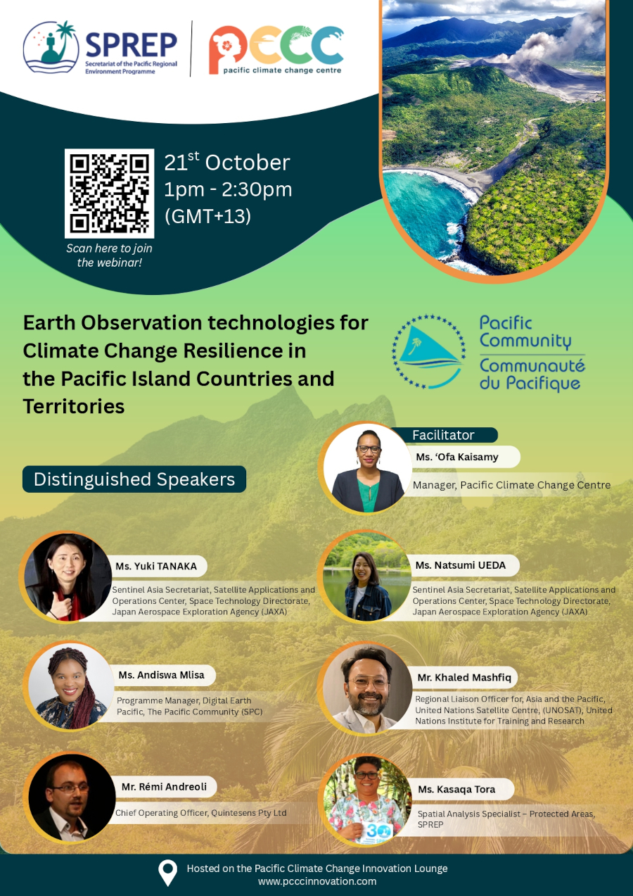
𝗧𝗶𝘁𝗹𝗲: Earth Observation Technologies for Climate Resilience in the Pacific𝗗𝗮𝘁𝗲: October 21, 2025𝗧𝗶𝗺𝗲: 13:00–14:30 Samoa Time𝗥𝗲𝗴𝗶𝘀𝘁𝗿𝗮𝘁𝗶𝗼𝗻 𝗹𝗶𝗻𝗸 : register here Organized by the 𝗣𝗮𝗰𝗶𝗳𝗶𝗰 𝗖𝗹𝗶𝗺𝗮𝘁𝗲 𝗖𝗵𝗮𝗻𝗴𝗲 𝗖𝗲𝗻𝘁𝗿𝗲, 𝗧𝗵𝗲 𝗜𝗻𝗻𝗼𝘃𝗮𝘁𝗶𝘃𝗲 𝗦𝗼𝗹𝘂𝘁𝗶𝗼𝗻𝘀 𝗳𝗼𝗿 𝗣𝗮𝗰𝗶𝗳𝗶𝗰 𝗖𝗹𝗶𝗺𝗮𝘁𝗲 𝗖𝗵𝗮𝗻𝗴𝗲 𝗥𝗲𝘀𝗶𝗹𝗶𝗲𝗻𝗰𝗲 (𝗜𝗦𝗣𝗖𝗖𝗥) 𝗣𝗿𝗼𝗷𝗲𝗰𝘁, and co-hosted with the 𝗣𝗮𝗰𝗶𝗳𝗶𝗰 𝗖𝗼𝗺𝗺𝘂𝗻𝗶𝘁𝘆 (𝗦𝗣𝗖) / 𝗗𝗶𝗴𝗶𝘁𝗮𝗹 𝗘𝗮𝗿𝘁𝗵 𝗣𝗮𝗰𝗶𝗳𝗶𝗰, this webinar is part of the Pacific…
-
Free GIS and Remote Sensing Resources Series – Week 3: Introduction to the Copernicus Earth Observation Data and Browser
On behalf of the Pacific GIS and Remote Sensing Council (PGRSC), we welcome you to Week 3 of our posts to promote free GIS and remote sensing resources (webinars, instructional videos, technical manuals, e-books, etc.) to increase capacity, awareness, and skill development for the Pacific Islands geospatial community. Last week, we introduced you to NASA’s Applied Remote Sensing…
-
A New PGRSC Member: University of French Polynesia

PGRSC is pleased to annouce a new academia member: the University of french Polynesia. A public higher education and research institution established in Tahiti since 1987, the University of French Polynesia offers a diverse range of multidisciplinary courses and carries out research missions for the scientific, technological, and cultural development of French Polynesia. Educational offerings:…
-
PGRSC Webinar Series – Introduction to NOAA CoastWatch & PacIOOS: Training Course to Access and Use Data for Ocean and Coastal Applications
On behalf of PGRSC, we are honored to host another webinar in our series to promote and enhance geospatial knowledge sharing and capacity building:Introduction to NOAA CoastWatch & PacIOOS: Training Course to Access and Use Data for Ocean and Coastal Applications Please join the National Oceanic and Atmospheric Administration (NOAA) CoastWatch and Pacific Islands Ocean Observing System (PacIOOS) on Wednesday,…
-
The Pacific Community and the Pacific GIS and Remote Sensing Council sign an MoU to strengthen Pacific geospatial work
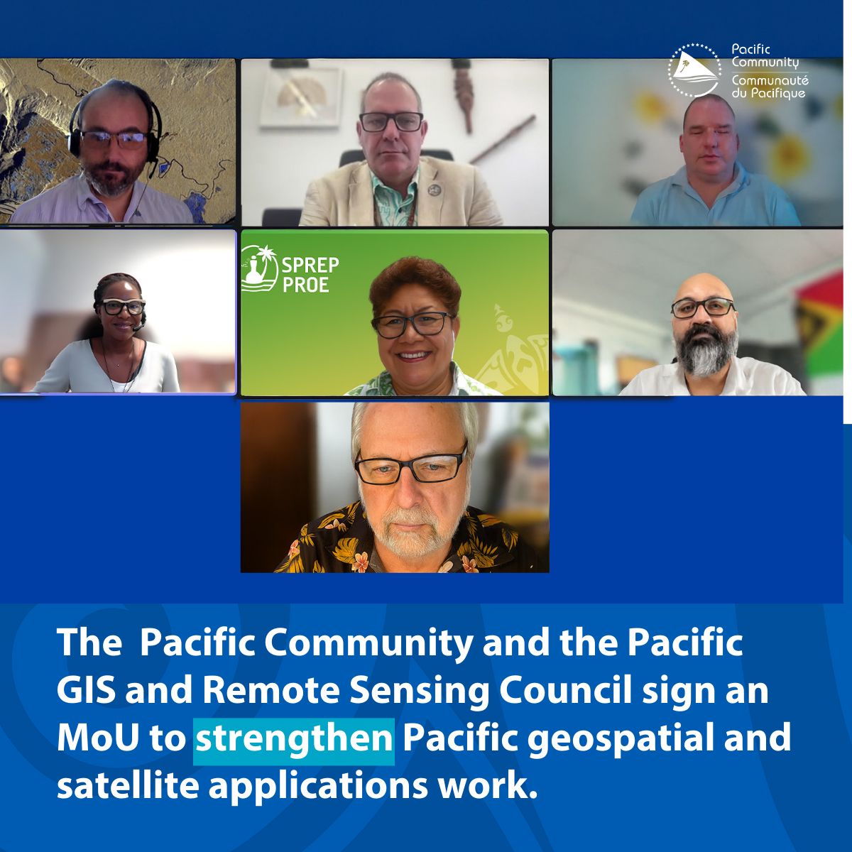
The Pacific Community (SPC) and the Pacific GIS and Remote Sensing Council (PGRSC) have signed a Memorandum of Understanding (MoU) to collaborate on outreach, training, and promotion of regional networking in support of strengthening geospatial and earth observation work for Pacific communities, thereby better informing decision-makers and the public about the importance and great potential…
-
Fiji Times highlights the Pacific Islands GIS & Remote Sensing Users Conference
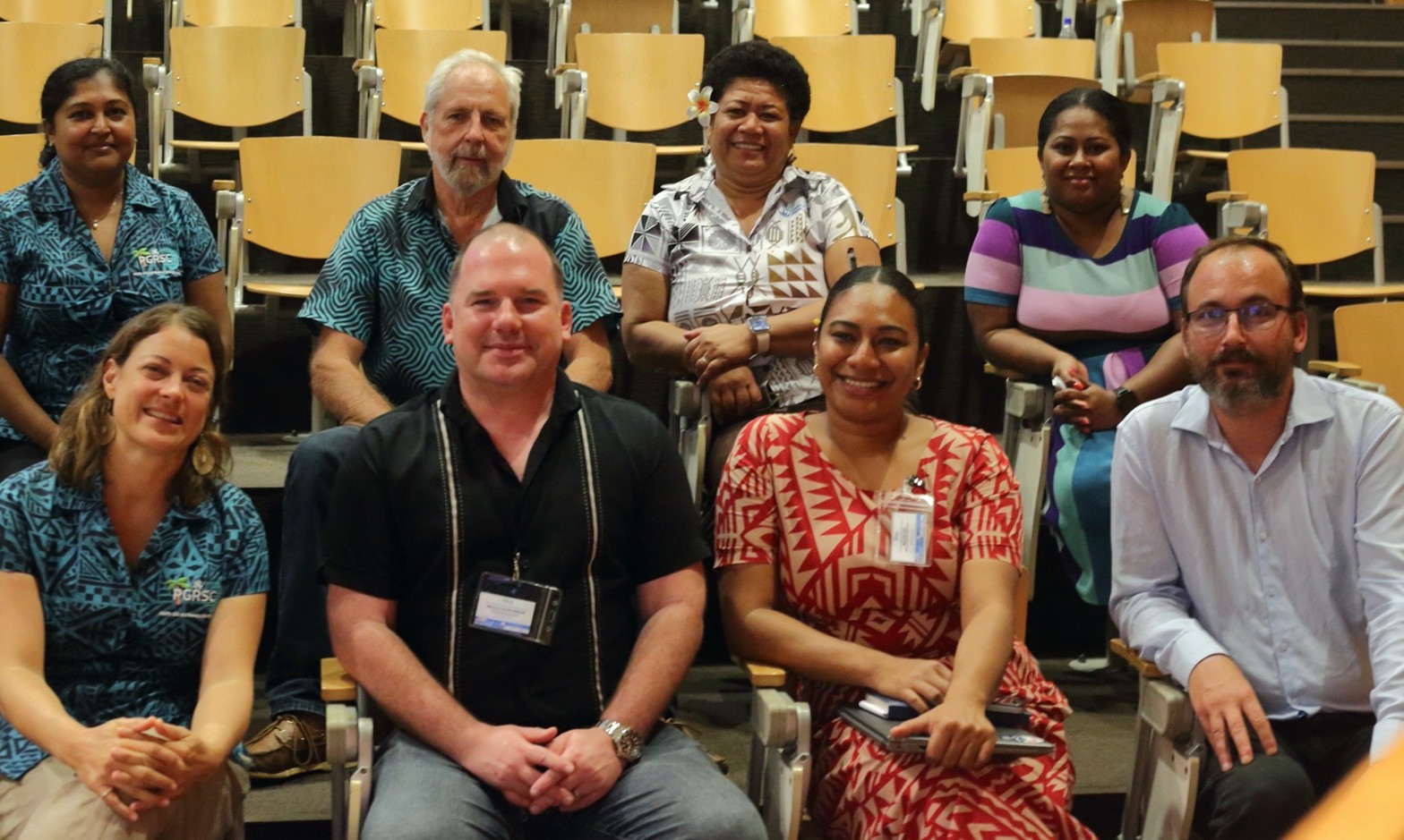
The Fiji Times has put the spotlight on the upcoming Pacific Islands GIS and Remote Sensing Conference, with more than 300 participants expected to attend. Read the full article here: Fiji Times – 300 to attend GIS Conference
-
𝐅𝐫𝐞𝐞 𝐆𝐈𝐒 𝐚𝐧𝐝 𝐑𝐞𝐦𝐨𝐭𝐞 𝐒𝐞𝐧𝐬𝐢𝐧𝐠 𝐑𝐞𝐬𝐨𝐮𝐫𝐜𝐞𝐬 𝐒𝐞𝐫𝐢𝐞𝐬: 𝐅𝐮𝐧𝐝𝐚𝐦𝐞𝐧𝐭𝐚𝐥𝐬 𝐨𝐟 𝐑𝐞𝐦𝐨𝐭𝐞 𝐒𝐞𝐧𝐬𝐢𝐧𝐠 𝐎𝐧𝐥𝐢𝐧𝐞 𝐓𝐫𝐚𝐢𝐧𝐢𝐧𝐠 𝐰𝐢𝐭𝐡 𝐂𝐞𝐫𝐭𝐢𝐟𝐢𝐜𝐚𝐭𝐞 (𝐍𝐀𝐒𝐀 𝐀𝐑𝐒𝐄𝐓)
On behalf of the Pacific GIS and Remote Sensing Council (PGRSC) This week we take a step back and look at the fundamentals of remote sensing with a 𝐬𝐞𝐥𝐟-𝐩𝐚𝐜𝐞𝐝 𝐨𝐧𝐥𝐢𝐧𝐞 𝐭𝐫𝐚𝐢𝐧𝐢𝐧𝐠 𝐩𝐫𝐨𝐠𝐫𝐚𝐦 𝐭𝐡𝐚𝐭 𝐢𝐬𝐬𝐮𝐞𝐬 𝐚 𝐜𝐞𝐫𝐭𝐢𝐟𝐢𝐜𝐚𝐭𝐞 𝐮𝐩𝐨𝐧 𝐜𝐨𝐦𝐩𝐥𝐞𝐭𝐢𝐨𝐧. Week 2: Are you new to remote sensing or would like to review the fundamentals as a…
-
PACIFIC GIS & REMOTE SENSING COUNCIL & GEO CONNECT ASIA
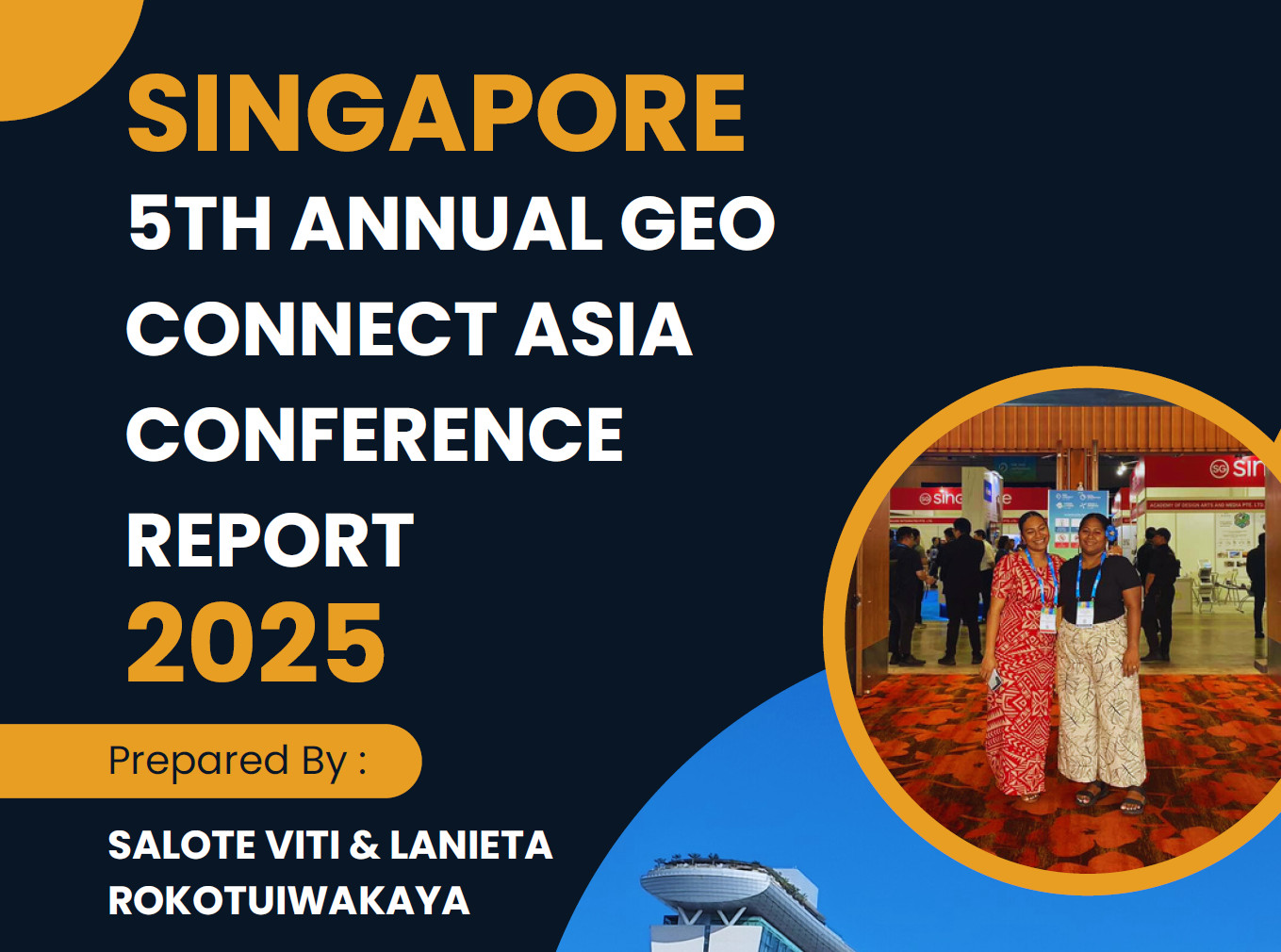
The 5th Annual Geo Connect Asia Conference was held on the 9 & 10 of April2025, marking the largest gathering to date for professionals in geospatial, remote sensing, and spatial digital solutions in Asia. This year’s event featuredfour overlapping exhibitions, seven interchangeable conferences, and morethan 100 speakers, making it a comprehensive and dynamic platform forindustry…
-
Free GIS and Remote Sensing Resources Series: Week 1: Synthetic Aperture Radar (SAR) (NASA ARSET)
Free GIS and Remote Sensing Resources Series: Week 1: Synthetic Aperture Radar (SAR) (NASA ARSET) On behalf of the Pacific GIS and Remote Sensing Council (PGRSC), we are pleased to announce the start of our weekly posts to promote free GIS and remote sensing resources (webinars, instructional videos, technical manuals, e-books, etc.) to increase capacity, awareness, and skill development for…
-
Early Bird Registration extended to the 24 September 2025
Shaping the Future of Geospatial Collaboration in the Pacific From 24–27 November 2025, Suva, Fiji will host the regional conference on “Building and Enhancing Geospatial Networks in the Pacific Islands.” This event will bring together GIS and Remote Sensing professionals, policy-makers, academics, students, and development partners to exchange knowledge, build partnerships, and strengthen geospatial capacity…
-
A New PGRSC Member: Fiji National University

The Fiji National University (FNU) was established in 2010 with a clear set of objectives aimed at advancing knowledge, promoting academic excellence, and contributing to the welfare of the communities in Fiji and the Pacific Region. Through its efforts in teaching, research, and training, FNU seeks to meet international standards while responding to the diverse…
-
📣 Registration Now Open for the 2025 Pacific GIS & Remote Sensing Conference!
📣 Registration Now Open for the 2025 Pacific GIS & Remote Sensing Conference! We are pleased to announce that registration is now officially open for the 2025 Pacific GIS & Remote Sensing Conference, happening 24 – 27 November 2025 in Suva, Fiji! This year’s theme,“Building and Enhancing Geospatial Networks in the Pacific Islands,”reflects our commitment…
-
🌐 Just Released: 2025 Issue 1 of the Pacific Islands GIS & RS Newsletter!

We’re thrilled to announce the release of the latest issue of the Pacific Islands GIS & Remote Sensing Newsletter! This refreshed edition marks an exciting new chapter, powered by a dedicated editorial team committed to amplifying the voices and achievements of geospatial professionals across the Pacific. Inside this issue: 📥 Download it now at: https://pgrsc.org/newsletter…
-
📢 Share Your Work with the PGRSC Community!

Are you working on exciting geospatial research, field projects, or innovative applications in the Pacific region? Do you have insights, case studies, or experiences that others in the geospatial community would benefit from? PGRSC invites you to submit your article to our official Newsletter!Our goal is to highlight the valuable work happening across the Pacific…
-
A New PGRSC Member: Rover Mapping
Rover Mapping (GIS and Data Consulting) is an independent geospatial consultancy based in Sydney, Australia. Rover is to wander, within the ever complex world of geospatial systems, mapping and data. We specialise in software implementation, system migration, knowledge and work across public and private sectors organisations across the region. From expertise in the water industry,…
-
A New PGRSC Member: Pacific Sud Survey

Pacific Sud Survey is a company established in French Polynesia, dedicated to promoting innovative measurement technologies and making them accessible to as many people as possible. Specializing in hydrography and topography, our expertise covers acoustic, GNSS, and optical measurements. We support you throughout every stage of your projects, from the planning phase to the implementation…
-
Call for Paper !

We are pleased to announce that the abstract submission for the 2025 Pacific Islands GIS & Remote Sensing Users Conference is now open ! We are inviting proposals for paper presentations in the following thematic area: “Building and Enhancing Geospatial Networks in the Pacific Islands” To submit your abstract, you must log into our system…
-
A New PGRSC Member: Landpro

Landpro is a multi-disciplinary consultancy firm providing, Geospatial and Aerial Surveying, Surveying, Planning and Environmental Science, and Farm Environmental Services throughout New Zealand. Founded in 2007, Landpro has grown to a team of over 75 people, located both remotely as well as from three core office locations in Otago, Southland and Taranaki. Landpro operates a…
-
Pacific Tech Village at VivaTech 2025

Last call to join the Pacific Tech delegation at VivaTech 2025! This is your final opportunity to join the Pacific Tech Village at VivaTech 2025 and become part of an innovative, dynamic community dedicated to tech entrepreneurship in the Pacific region! 👉 The application deadline is April 4, 2025. What you’ll get: 👉A round-trip ticket and free exhibition space at the event.👉Personalized…
-
2025 Pacific Rim Geospatial Conference · March 5 & 6, 2025
Aloha,The Hawaiʻi Geographic Information Coordinating Council (HIGICC) and the Hawaiʻi Land Surveyors Association (HLSA) proudly present the 2025 Pacific Rim Geospatial Conference, which will be held on March 5-6, 2025. This hybrid event is designed to accommodate busy schedules by hosting in-person exhibits and presentations at the Ala Moana Hotel by Mantra in Honolulu, Hawaiʻi, as…
-
GEO WEEK – February 10-12, 2025 (Denver, Colorado, USA)

Geo Week, February 10-12, 2025 in Denver, is the learning and networking nexus of the geospatial and built worlds. It includes collocated user meetings (ASPRS, MAPPS, USIDB, WGIC) and special content from new strategic partners (e.g. Reality Capture Network, USGIF). The 2024 event had 3,400+ registrants, and hosted a record 2,976 actual delegates onsite from…
-
Sentinel-1C launches on Vega-C
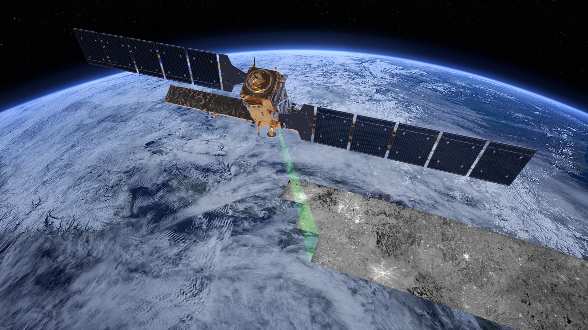
The third Copernicus Sentinel-1 satellite, Sentinel-1C, has launched aboard a Vega-C rocket, flight VV25, from Europe’s Spaceport in French Guiana. The rocket lifted off on 5 December 2024 at 22:20 CET (18:20 local time). Sentinel-1C extends the legacy of its predecessors, delivering high-resolution radar imagery to monitor Earth’s changing environment, supporting a diverse range of applications and advance scientific research. Additionally, Sentinel-1C introduces new capabilities for detecting and monitoring maritime traffic.
-
Day 3: The 2024 Pacific Islands GIS & Remote Sensing User Conference


The focus was on the powerful synergy between GIS and drones in tackling climate change across the Pacific! Key Highlights: The message is clear: GIS and drones are indispensable tools in our fight against climate change, enabling smarter decisions for a resilient Pacific future. Check out some portraits from yesterday’s inspiring sessions!
-
Day 4: Pacific GIS and Remote Sensing User Conference
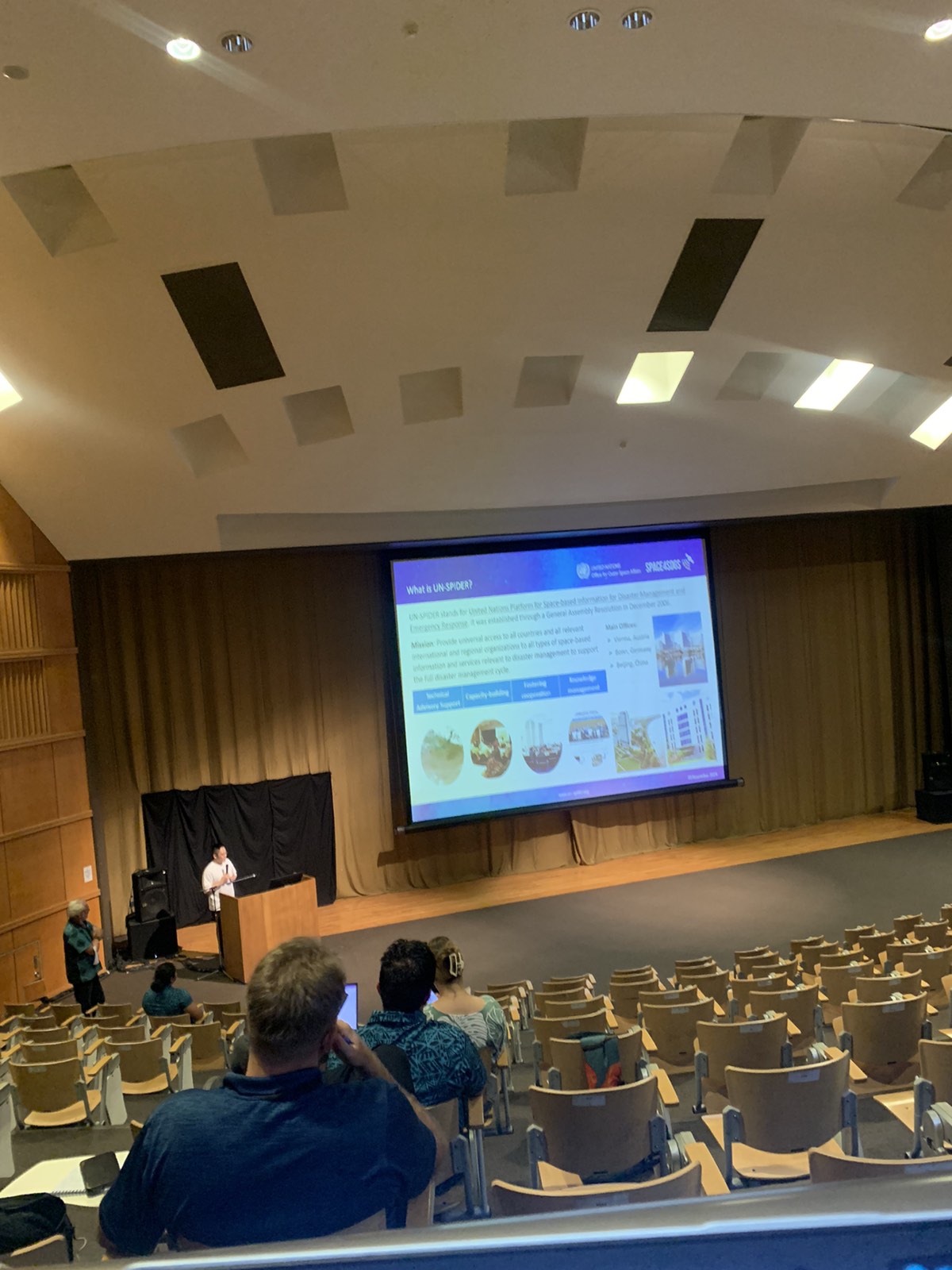
The last day of presentations for the conference are currently underway. Come down to the USP Japan ICT Lecture Theatre to enhance your knowledge of GIS and Remote Sensing applications in the different fields of work and studies.
-
Day 3: The 2024 Pacific Islands GIS & Remote Sensing User Conference

As we dive into the heart of the conference, the energy and insights continue to inspire! Over the past three days, we’ve heard from amazing Pacific speakers addressing: With two more days to go, the discussions are only getting better! Stay tuned as we continue exploring how GIS and remote sensing are shaping a more…
-
Day 2: The 2024 Pacific Islands GIS & Remote Sensing User Conference
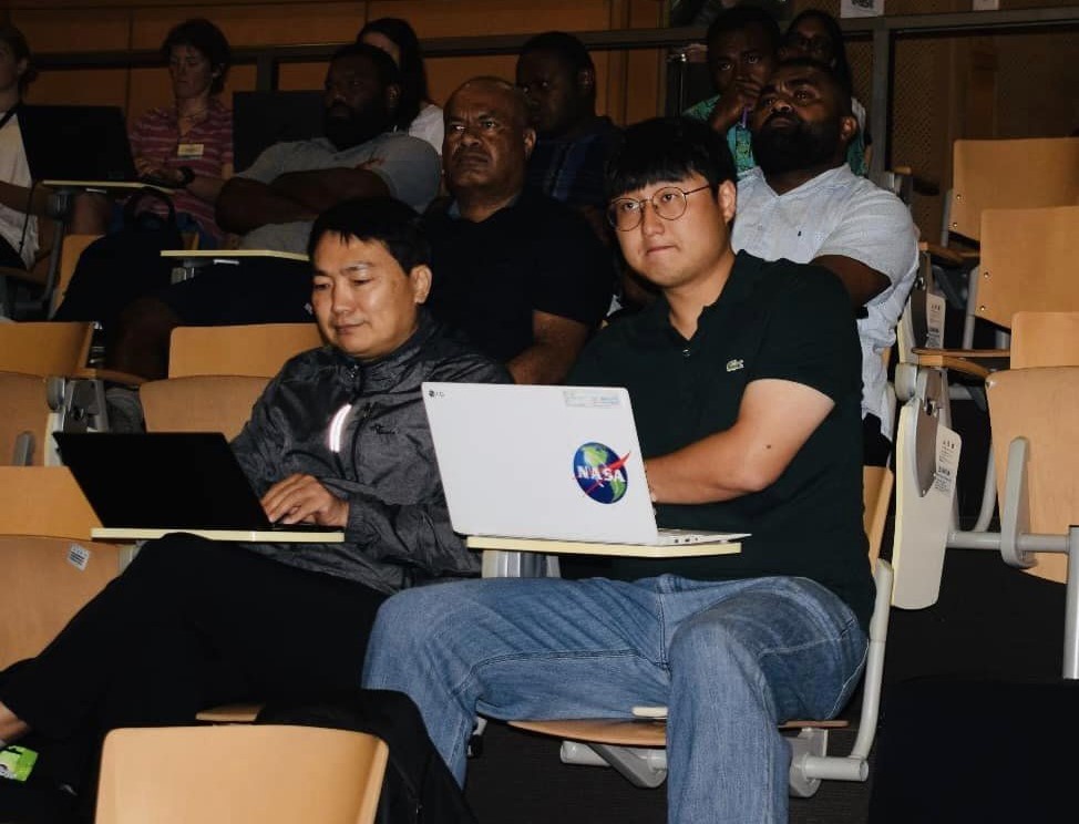
Day 2 brought incredible insights as speakers from across the Pacific region took the stage to share their expertise! From Fiji, Samoa, Tonga, Vanuatu, Papua New Guinea, and beyond, each speaker highlighted how GIS and remote sensing are transforming their nations. Topics included: The diversity of perspectives and shared challenges emphasized the power of regional…
-
Women in GIS Breakfast

A Women in GIS Breakfast event took place this morning at the Grand Pacific Hotel to celebrate and appreciate the presence and immense contribution that women have done in the field of GIS and Remote Sensing across the region.
-
Minister of Lands and Mineral Resources Speech
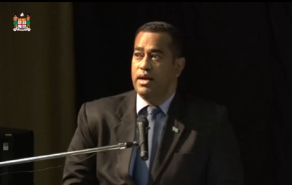
It’s an honor to share the opening speech by Fiji’s Minister for Lands and Mineral Resources, marking the start of this year’s Pacific GIS & Remote Sensing User Conference. The Minister highlights the transformative power of geospatial technologies in decision-making, resource management, and sustainable development, especially as we navigate the challenges of climate change and…
-
Opening Cocktail

Join us for an evening of wine, inspiring discussions, and great company as we celebrate the opening of the PGRSC user conference 2024. Let’s come together, spark new ideas, and make memories that extend beyond the conference.
-
PGRSC User Conference 2024
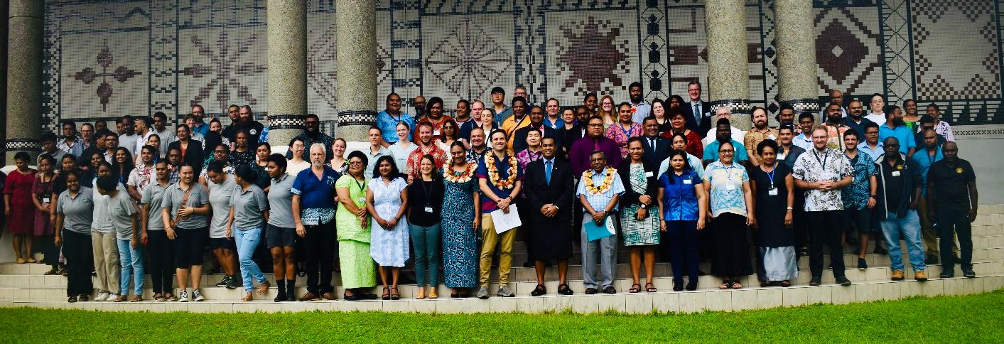
The 2024 Pacific Islands GIS & Remote Sensing User Conference opens at USP, Japan ICT, Suva, bringing together experts to explore GIS and remote sensing innovations for the Pacific. The event focuses on sustainable development, climate resilience, and environmental monitoring, fostering collaboration and knowledge sharing for the region’s future.
-
PGRSC User Conference 2024 Chief Guests

PGRSC User Conference 2024 is officially opened by Chief Guest Minister for Lands and Mineral Resources, Hon. Filimoni Vosarogo.
-
A New PGRSC Member: J2!
PGRSC is pleased to welcome J2 as a new member! J2 is the social enterprise of Disaster Relief Australia. We deliver socially responsible, professional geospatial and disaster intelligence services to government, industry and community. We empower decision making by working in the air, on the ground and behind the scenes to deliver a vertically integrated set of services spanning data capture, processing and…
-
A New PGRSC Member: MAMMOTH GEOSPATIAL
PGRSC is pleased to welcome MAMMOTH GEOSPATIAL as a new member! Mammoth Geospatial, based in Perth, Western Australia, specialises in open-source geospatial solutions including QGIS, GeoNode, PostGIS, and Mergin Maps. Our mission is to help organisations effectively use open geospatial technology, ensuring they have the freedom to engage with these tools on their own terms.…
-
A New PGRSC Member: SKAND

PGRSC is pleased to welcome a New Member: SKAND! Skand is an Australian based Digital Twin platform, designed and built to enable spatial data visualisation, management and analysis. The Skand product is widely used by industry leaders in Australia and internationally, including surveying professionals, engineers and asset managers. We offer a cloud-based software platform that assists domain experts & stakeholders to make better decisions managing…
-
2024 Pacific Islands GIS and Remote Sensing Users Conference In One Week!!!
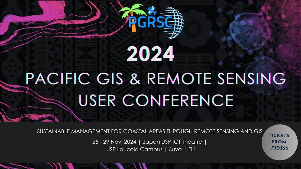
We are currently one week away from the start of the 2024 Pacific Islands GIS and Remote Sensing Users Conference in Suva, Fiji from November 25-29, 2024!!! We wanted to provide an update on what attendees can expect. The agenda, program, and downloadable conference proceedings (with presentation abstracts) can be found at:https://pgrsc.org/conference-program/ If you haven’t…
-
A New PGRSC Member: NDRMO, Government of Tonga!

PGRSC is pleased to welcome a new member: Tonga National Disaster risk Management Office! The National Disaster Risk Management Office (NDRMO) was established under the Emergency Management Act 2007, initially aimed to facilitate and coordinate emergency management for Tonga’s safety. The National Disaster Risk Management Act 2021 expanded its mandate, focusing on enhancing disaster risk reduction…
-
Presentation submission for the 2024 Pacific Islands GIS & RS User Conference closes today!
Yous still have a couple of hours to submit your paper presentations in the following thematic area: “Sustainable Management of Coastal Areas Through Remote Sensing & GIS” To submit your abstract, you must log into our system and follow our guidelines on the abstract submission page. And then, do not forget to register here!
-
A New PGRSC Member: NASA!

United States of America National Aeronautics and Space Administration (NASA) is proud to collaborate with PGRSC For the benfits of Pacific Island communities in the use of remote sensing to better understand our changing planet and to improve the ability of humans and ecosystems to mitigate and adapt so that we all may continue to…
-
A new PGRSC Member: The Land Transport Authority (LTA) of Fiji
The Land Transport Authority (LTA) of Fiji, established under the Land Transport Act 1998, is responsible for economic regulation, service delivery, enforcement, and road safety. The LTA was formed to enhance operational efficiency and financial management in line with government policies on deregulation. It merged the functions of the Transport Control Board (TCB), Central Traffic…
-
Still 7 days to submit your presentation for for the 2024 Pacific Islands GIS & RS User Conference
We are inviting proposals for paper presentations in the following thematic area: “Sustainable Management of Coastal Areas Through Remote Sensing & GIS” To submit your abstract, you must log into our system and follow our guidelines on the abstract submission page. And then, do not forget to register here!
-
Presentation submission for for the 2024 Pacific Islands GIS & RS User Conference close in 15 days!

We are inviting proposals for paper presentations in the following thematic area: “Sustainable Management of Coastal Areas Through Remote Sensing & GIS” To submit your abstract, you must log into our system and follow our guidelines on the abstract submission page. And then, do not forget to register here!
-
A picture is worth a thousand words!

Have you registered yet for the 2024 Pacific Island GIS&RS Users Conference? If the answer is no, registration is here! We’re looking to see you next month!
-
NOAA CoastWatch & PacIOOS Workshop at Pacific Islands GIS & RS Users Conference

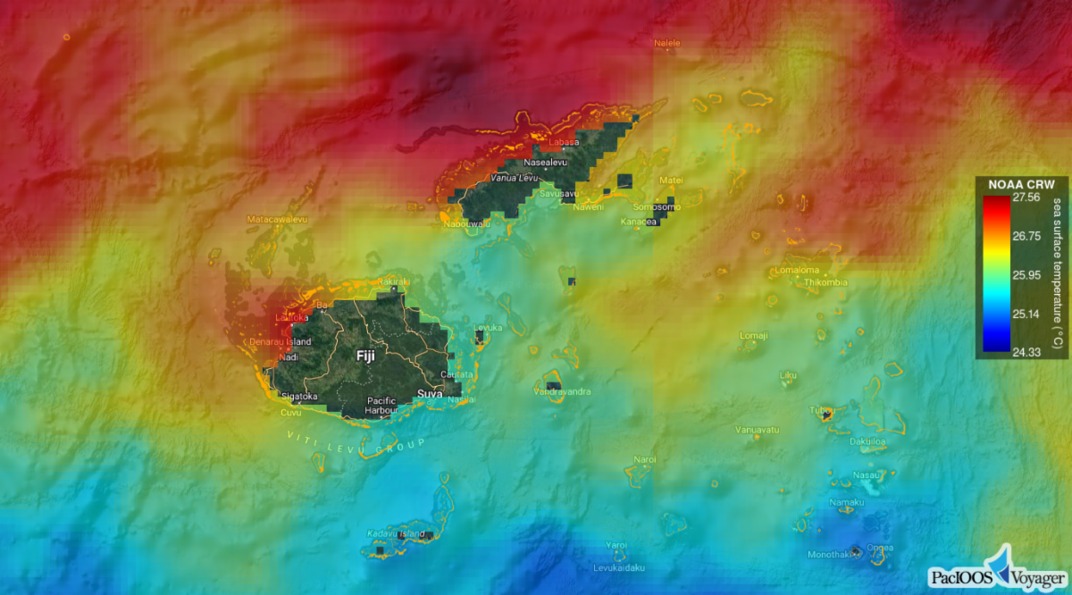
As a follow-up to the webinar held on September 6, 2024: NOAA CoastWatch and PacIOOS will be hosting a free workshop at the Pacific Islands GIS & Remote Sensing (RS) Users Conference on Tuesday, November 26, 2024 from 13:00-18:00 FJT. This workshop will introduce how to access satellite oceanography data through CoastWatch ERDDAP data server,…
-
Extended deadline for abstract submission!
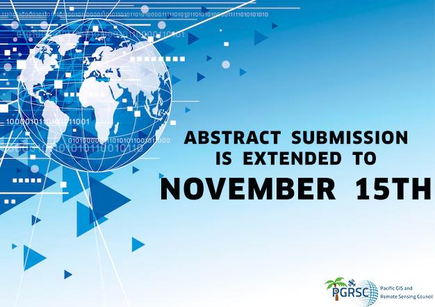
We would like to inform you that the deadline for submitting abstracts for the 2024 Pacific Islands GIS&RS Users conference, originally scheduled for 30 September 2024, has been extended due to a high number of request and the new deadline is 15 November 2024. Abstracts can be submitted online via our submission system (no template is required).. Please note that you…
-
Spell Your Name in LandSat Imagery
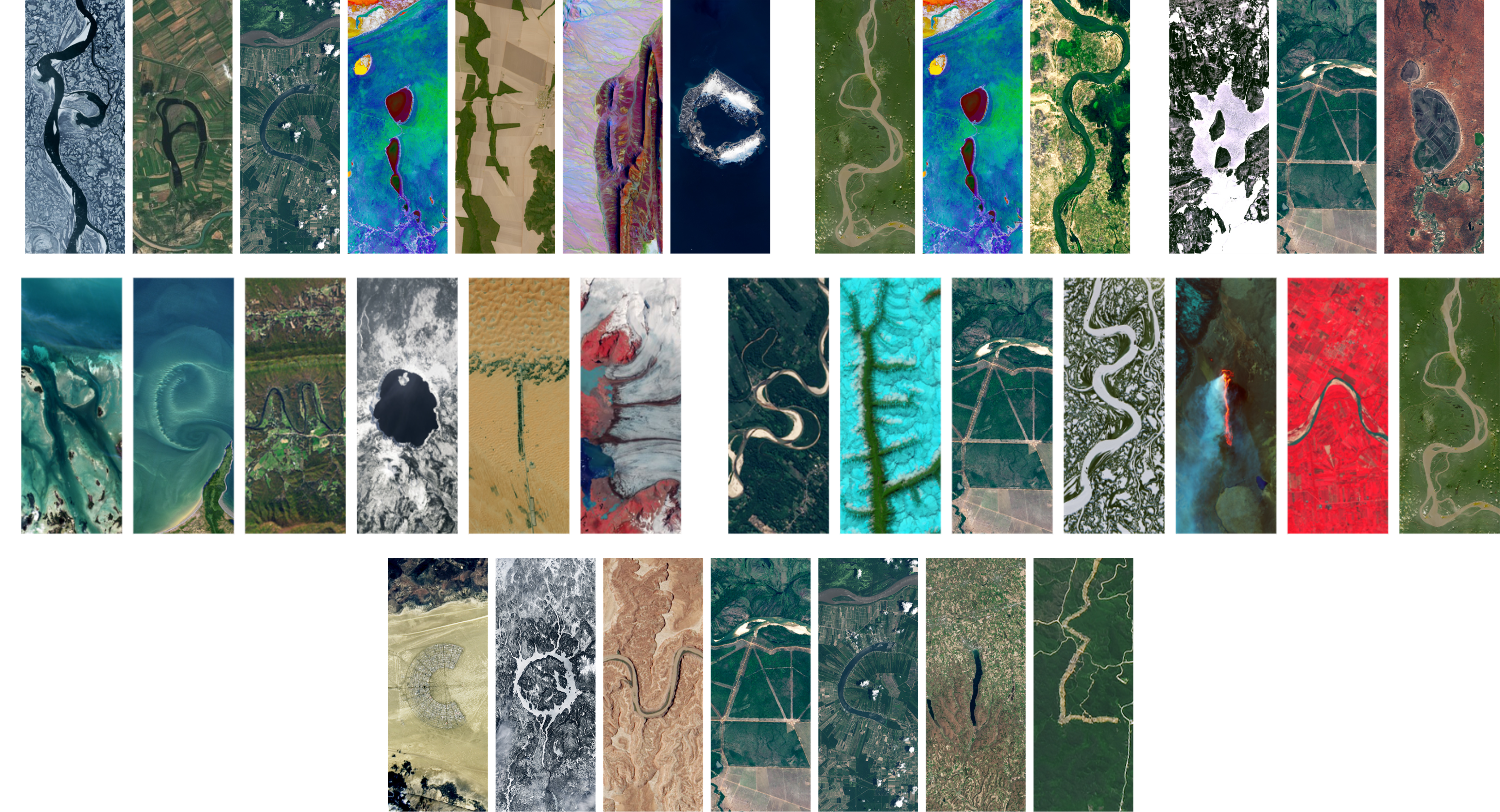
Have you ever wondered what your name looks like from outer space?…… NASA has a website where you can enter a name and see it spelled out using real LandSat images. Please see the website link below to explore: https://landsat.gsfc.nasa.gov/apps/YourNameInLandsat-main For more information about NASA’s LandSat program and their products, please see the following link:…
-
You didn’t registered yet for the 2024 Pacific Islands GIS & RS User Conference? It’s time to register!
The Pacific Islands GIS & RS User Conference is well-known for its four days of presentations highlighting results and achievements in GIS and Remote Sensing in the Pacific Region. But the Pacific Islands GIS & RS User Conference is also a social event to network with our peers. Our Conference committee is preparing for you…
-
Still time to submit your presentation for the 2024 Pacific Islands GIS & RS User Conference
We are inviting proposals for paper presentations in the following thematic area: “Sustainable Management of Coastal Areas Through Remote Sensing & GIS” To submit your abstract, you must log into our system and follow our guidelines on the abstract submission page. And then, do not forget to register here!
-
Sentinel-2C joins the Copernicus family in orbit
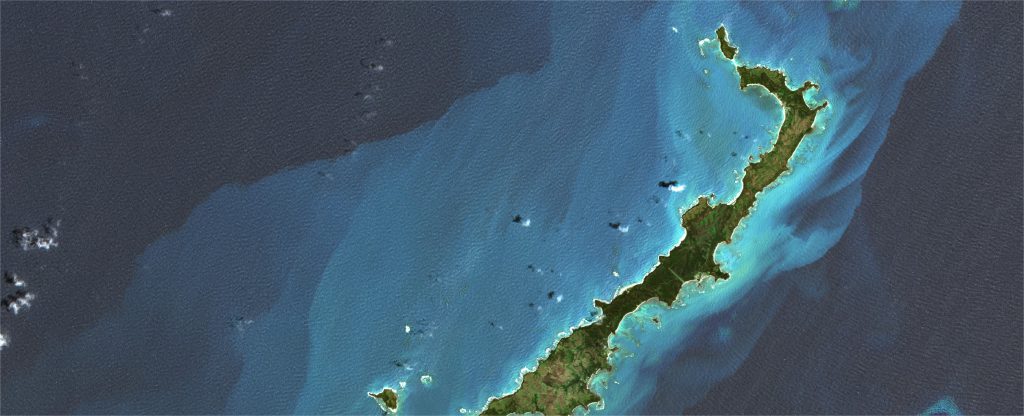
The third Copernicus Sentinel-2 satellite launched today aboard the final Vega rocket from Europe’s Spaceport in French Guiana. Sentinel-2C will continue providing high-resolution data that is essential to Copernicus – Europe’s world leading Earth observation programme. Sentinel-2C launched into orbit on 5 September at 03:50 CEST (4 September 22:50 local time) and separated from the…
-
A New PGRSC Member: PacIOOS!

PGRSC is pleased to welcome an new member: Pacific Islands Ocean Observing System PacIOOS empowers ocean users and stakeholders in the Pacific Islands by providing accurate and reliable coastal and ocean information, tools, and services that are easy to access and use. The Pacific Islands Ocean Observing System (PacIOOS) believes that ocean data and information…
-
Webinar: Sept. 6, 2024 at 11:00 a.m. (Fiji) – Introduction to NOAA CoastWatch & PacIOOS: Training Course to Access and Use Data for Ocean and Coastal Applications
Please join the National Oceanic and Atmospheric Administration (NOAA) CoastWatch and Pacific Islands Ocean Observing System (PacIOOS) on Friday, September 6, 2024 at 11:00 a.m. (Fiji time) as both organisations provide an introduction to their programs and training course for accessing and using spatial data for ocean and coastal applications. The webinar will only be…