

What lies beneath dense vegetation can change how we understand a landscape. Professor Ryan Perroy will share examples from Hawaiʻi that show how low-altitude aerial LiDAR can help reveal cultural features, forest structure and coastal change.
Ryan is a Professor in the Department of Geography and Environmental Science at the University of Hawaiʻi at Hilo and Director of its Spatial Data Analysis and Visualization (SDAV) Research Laboratory. His contribution brings together drone and helicopter observations with practical questions about resource monitoring.
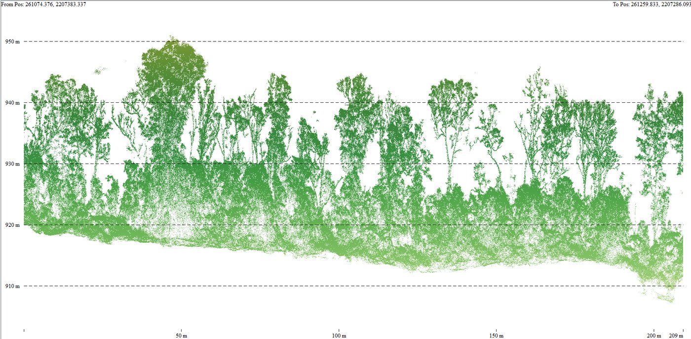
The presentation explores what becomes visible when we look beyond the canopy—from signs of invasive understory vegetation to cultural structures and the effects of disturbance along the coast. These examples open a discussion about the value of detailed three-dimensional information for local agencies and resource managers.
Join Ryan to discover how these approaches are being used in Hawaiʻi and exchange ideas about their relevance across the Pacific. There is much to explore when a familiar landscape is viewed from a different perspective.
2026 Pacific Islands GIS & Remote Sensing User Conference
30 November–4 December 2026 · Suva, Fiji
Theme: “Strengthening and Expanding Geospatial Networks in the Pacific Islands”.
Register to join us in Suva · Explore the conference programme