
What can complementary satellite observations bring to coastline mapping? A conference contribution by Sree Juwel Kumar Chowdhury and Chan-Su Yang explores this question through a study of Tongatapu, Tonga.
The submitted study brings together affiliations at the Korea Institute of Ocean Science & Technology (KIOST) and National Korea Maritime & Ocean University. Chan-Su Yang is also affiliated with the University of Science & Technology in Daejeon.
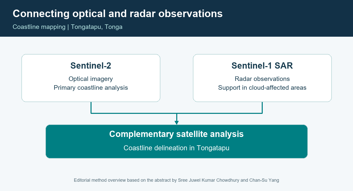
Their approach uses Sentinel-2 optical imagery as the main source for coastline analysis, with Sentinel-1 radar observations providing complementary information in cloud-affected areas. It offers a practical setting for discussing how different satellite observations can be connected for coastal geospatial analysis.
The presentation links its mapping approach with the wider interests of environmental monitoring, coastal management and natural hazard assessment in Pacific island settings.
Discover the approach at this year’s conference and bring your own coastal-mapping questions to the discussion.
2026 Pacific Islands GIS & Remote Sensing User Conference
30 November–4 December 2026 · Suva, Fiji
Theme: “Strengthening and Expanding Geospatial Networks in the Pacific Islands”.
Register to join us in Suva · Explore the conference programme
Research credits: Sree Juwel Kumar Chowdhury and Chan-Su Yang, as listed in the submitted study.
Featured illustration: Editorial overview based on the abstract by Sree Juwel Kumar Chowdhury and Chan-Su Yang. It illustrates the complementary use of optical and radar observations for coastline mapping in Tongatapu.