

What helps a geospatial network endure? Two contributions to this year’s conference connect the Pacific’s early GIS collaborations with the practical information services being developed today.
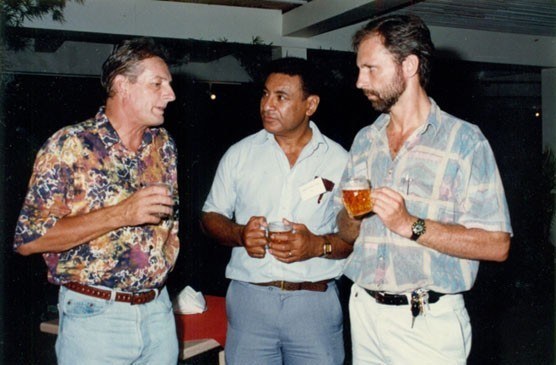
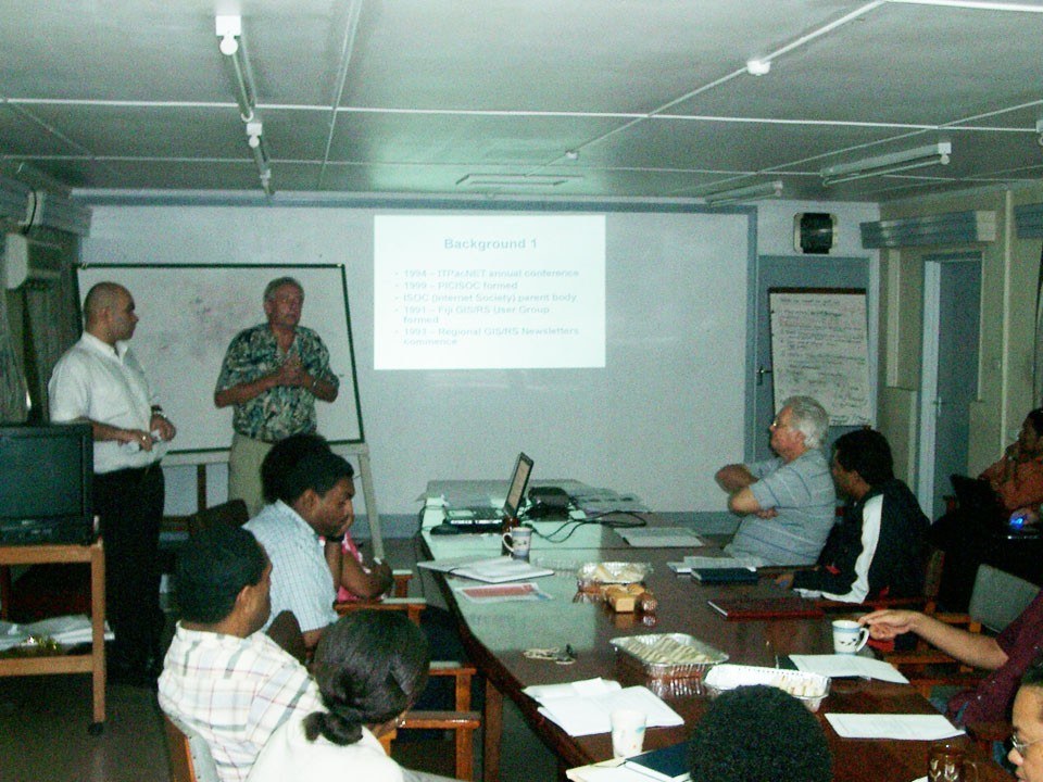
Dr Wolf Forstreuter of Pacific Wolf Consult brings a long perspective on GIS and remote sensing in the region. Drawing on his experience in Fiji and with regional organisations, his presentation revisits the forest mapping, user meetings and professional relationships that helped build today’s community. It is an invitation to discover the people and cooperation behind familiar tools.
Andiswa Mlisa, Programme Manager for Digital Earth Pacific at the Pacific Community (SPC), looks at how those connections support current national priorities. Her contribution explores SPC’s UNCCD Support Hub experience, bringing Earth observation together with national datasets and local knowledge for land reporting and sustainable land management.
From shared experience to reusable information, these presentations offer complementary perspectives on our theme, ‘Strengthening and Expanding Geospatial Networks in the Pacific Islands’. Join the conversation about what makes regional cooperation useful, trusted and lasting.

2026 Pacific Islands GIS & Remote Sensing User Conference
30 November–4 December 2026 · Suva, Fiji
Theme: “Strengthening and Expanding Geospatial Networks in the Pacific Islands”.
Register to join us in Suva · Explore the conference programme
Research credits (UNCCD contribution): A. Mlisa, E. Buikoto, G. Murieki and N. Metherall (Pacific Community, SPC).