
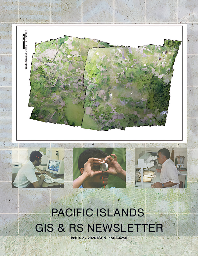
Discover the latest stories, innovations, and experiences from the Pacific GIS and Remote Sensing community!
The Pacific GIS and Remote Sensing (PGRSC) is pleased to announce the release of the Pacific Islands GIS & RS Newsletter – Issue 2, 2026.
This new edition takes readers on a journey across the Pacific, exploring how geospatial technologies are supporting scientific innovation, environmental management, disaster preparedness, and the preservation of our region’s geospatial heritage.
What’s inside this issue?
- Mapping Fiji’s mangroves from space: How can automated satellite-based approaches help monitor these vital coastal ecosystems across thousands of Pacific islands?
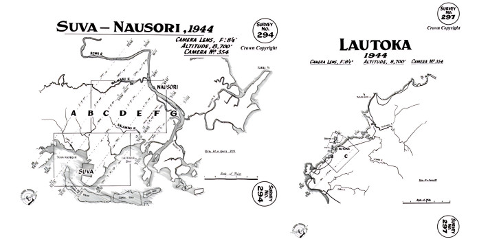
- Rediscovering Fiji through historical aerial photography: What can photographs captured during World War II reveal about decades of coastal transformation, land reclamation, and natural hazards?
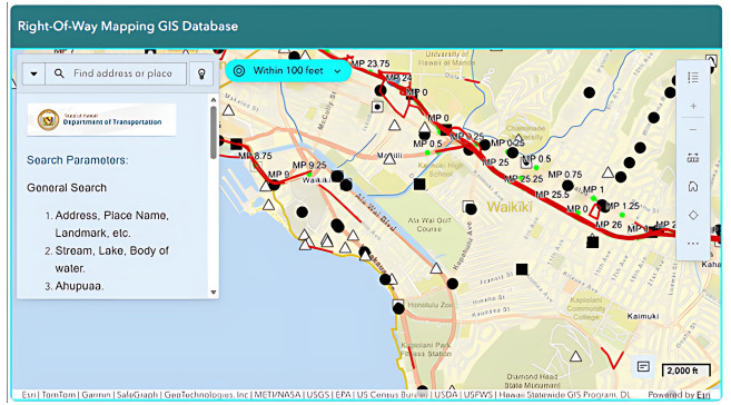
- Bringing GIS services to the public in Hawaiʻi: Discover how a digital mapping application is transforming access to land and right-of-way information.
- Understanding ecosystem resilience in New Caledonia: Explore an innovative approach to assessing how ecosystems respond to climate and human pressures.
- Space innovation takes off in New Caledonia: Follow the journey of ActInSpace 2026, from its first local edition to the national finals in France.
- Strengthening disaster preparedness in Palau: See how practical GIS training, drones, and field data collection are helping build emergency management capabilities.
- A journey through Pacific GIS & Remote Sensing history: Travel back to the 1990s and discover the people, technologies, and initiatives that helped shape today’s regional geospatial community — including the origins of the GIS & RS Newsletter and the Pacific GIS & Remote Sensing User Conference.
More than just a collection of articles, this issue connects the past, present, and future of geospatial science in the Pacific.
For over 30 years, the Pacific Islands GIS & RS Newsletter has provided a platform for sharing knowledge, documenting regional experiences, and highlighting the work of GIS and remote sensing practitioners across Pacific Island Countries and Territories.
Read or download Issue 2 – 2026 here:
We welcome contributions from researchers, GIS professionals, government agencies, institutions, and geospatial enthusiasts throughout the Pacific. Share your projects, experiences, discoveries, and innovations with our regional community!
Have a Story to Share?
We welcome contributions from researchers, GIS professionals, government agencies, institutions, and geospatial enthusiasts throughout the Pacific. Share your projects, experiences, discoveries, and innovations with our regional community!
PGRSC members can also submit their articles directly online through our dedicated submission form:
Help us showcase the diversity, expertise, and achievements of the Pacific GIS and Remote Sensing community in our upcoming newsletter editions!