
By supporting PGRSC, Mangoesmapping looks forward to strengthening connections within the geospatial community, collaborating with like-minded practitioners, and contributing to the advancement of GIS and remote sensing capabilities in small communities and remote areas. This partnership reflects a shared commitment to building a resilient, connected, and forward-thinking geospatial network across the Pacific.
PGRSC is pleased to annouce a new institutional member: Mangoesmapping
Mangoesmapping is excited to join the Pacific GIS and Remote Sensing Council (PGRSC) and contribute to a growing community of geospatial professionals working across tropical and remote regions in Oceania.
With extensive experience operating throughout rural and remote tropical Australia, New Zealand and the Pacific, Mangoesmapping brings a practical understanding of the unique environmental, logistical, and cultural challenges faced in these regions. Mangoesmapping is committed to sharing innovative, creative, and cost-effective geospatial solutions that support sustainable development and improved decision-making.
By supporting PGRSC, Mangoesmapping looks forward to strengthening connections within the geospatial community, collaborating with like-minded practitioners, and contributing to the advancement of GIS and remote sensing capabilities in small communities and remote areas. This partnership reflects a shared commitment to building a resilient, connected, and forward-thinking geospatial network across the Pacific.
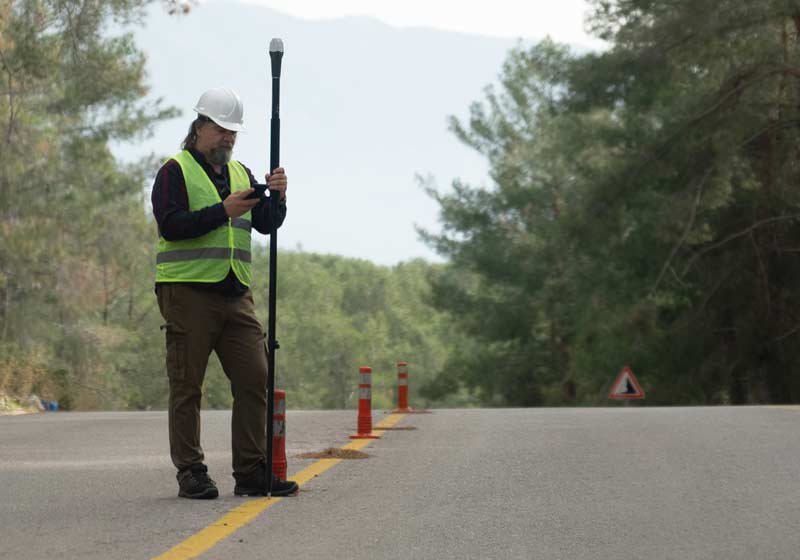
Mangoesmapping is an Australian-based geospatial and data solutions provider specialising in drone surveying, spatial analytics, and digital mapping services. Operating across tropical Australia, New Zealand, and the Pacific, the company delivers innovative, cost-effective solutions tailored to the unique challenges of regional, rural, and remote environments.
With a strong focus on accuracy, efficiency, and practical outcomes, Mangoesmapping supports industries including agriculture, infrastructure, environmental management, and local government. The organisation combines advanced technology with local knowledge to provide actionable insights that improve decision-making and operational performance.
More information here: PGRSC Organisational Memberships.