
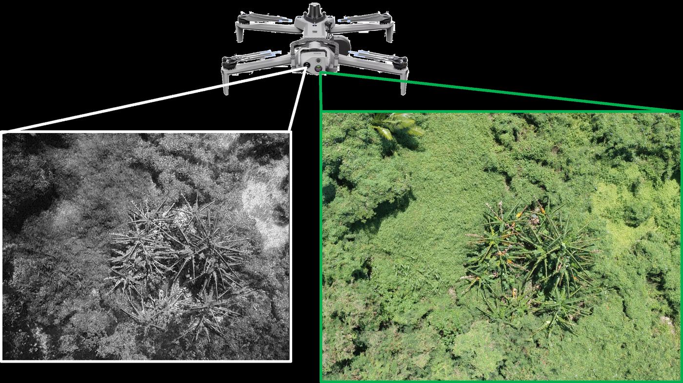
Some of the most important conservation information is also the hardest to collect. In the Northern Mariana Islands, geospatial practitioners are combining field surveys and remote sensing to understand wildlife and the pressures it faces.
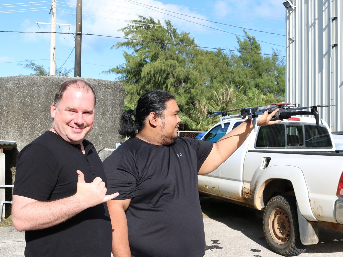
Joseph Atalig, GIS Analyst, and Bradley Eichelberger, Chief Geographic Information Officer, work with the Commonwealth of the Northern Mariana Islands Division of Fish and Wildlife. Their joint presentation explores drone-mounted thermal imaging for natural resource management, drawing on use cases involving endangered and invasive species.
Bradley’s separate contribution focuses on the Nosa Luta, or Rota White-eye. It brings repeated bird surveys together with spatial modelling and LiDAR-derived habitat information to investigate population abundance while accounting for the animals observers may miss.
Together, the talks offer a practical look at how complementary sources of evidence can support conservation decisions. Meet Joseph and Bradley to discuss the field realities behind the maps, and the opportunities for applying these approaches across island environments.
2026 Pacific Islands GIS & Remote Sensing User Conference
30 November–4 December 2026 · Suva, Fiji
Theme: “Strengthening and Expanding Geospatial Networks in the Pacific Islands”.
Register to join us in Suva · Explore the conference programme