

2025 Conference Resources
Building and Enhancing Geospatial Networks in the Pacific Islands
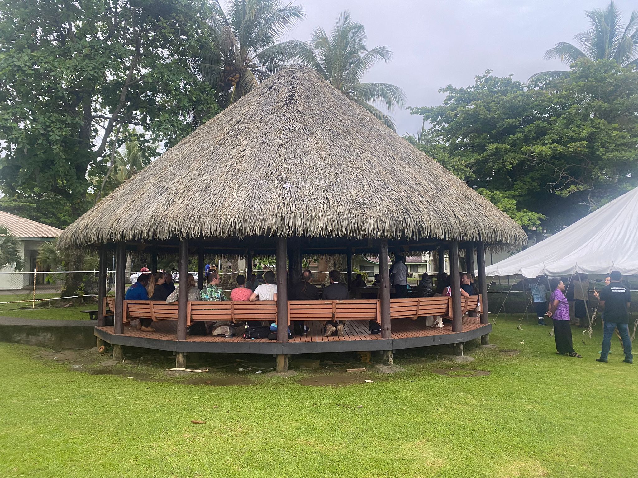
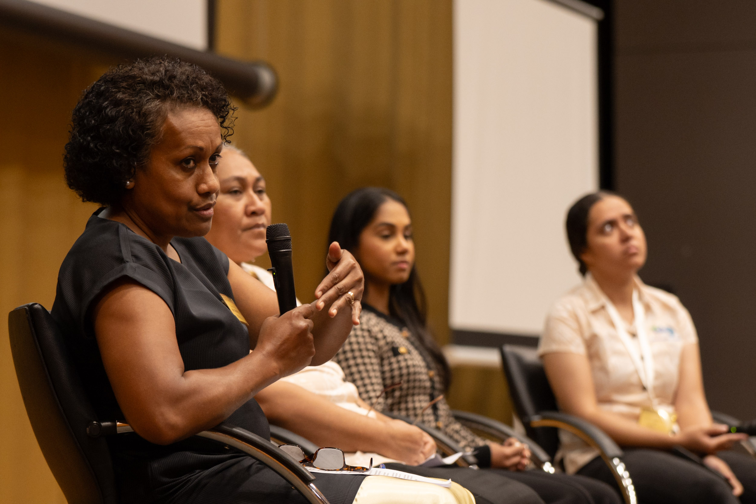
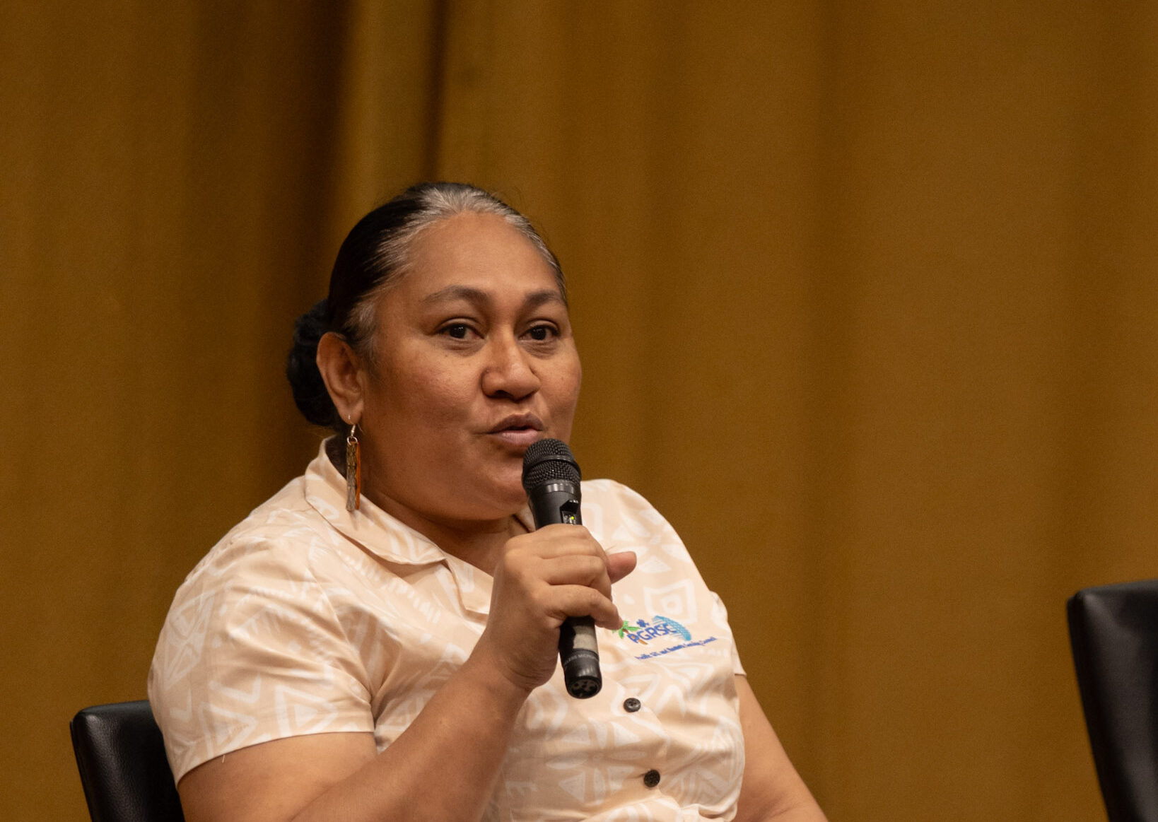
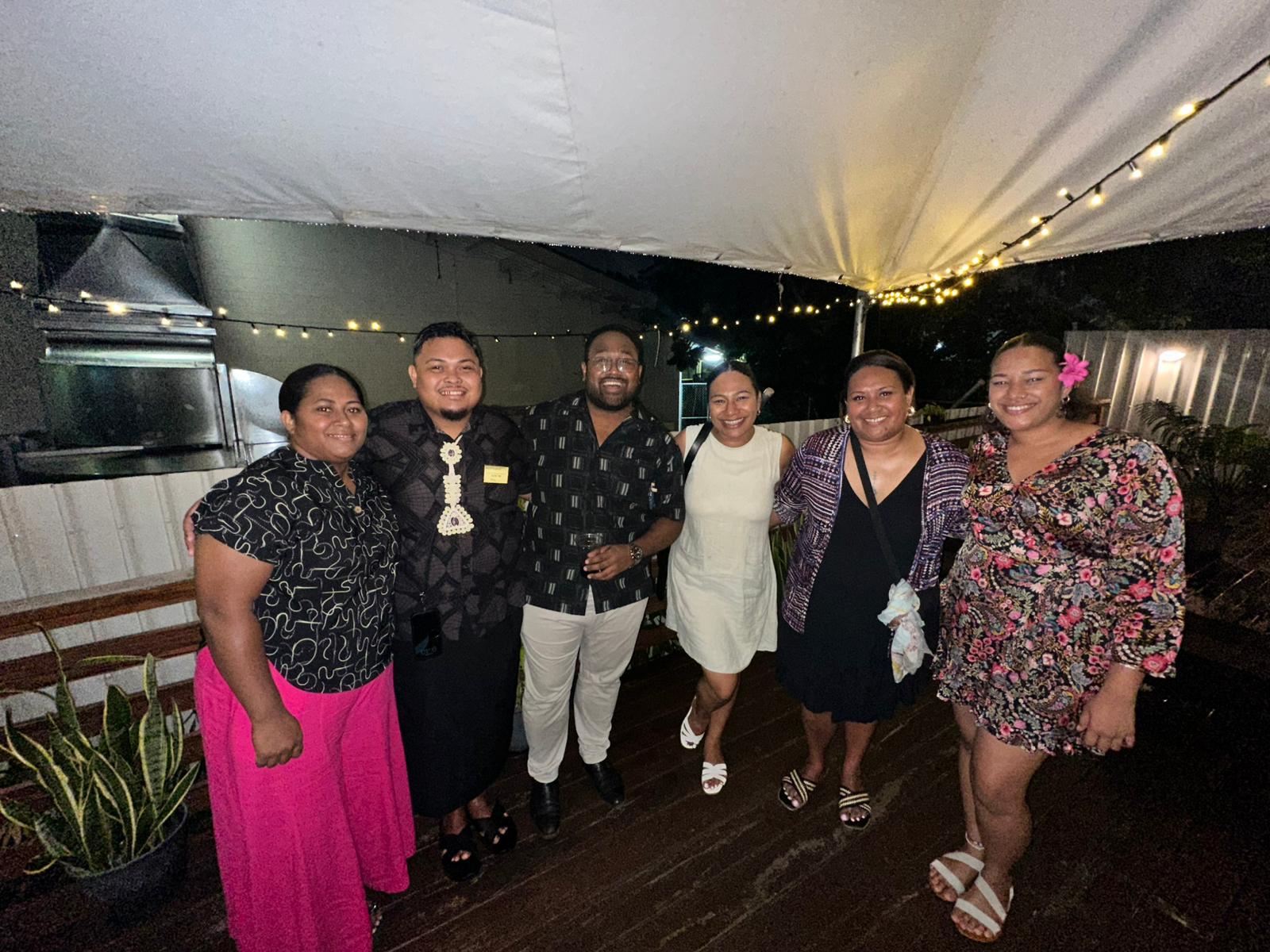
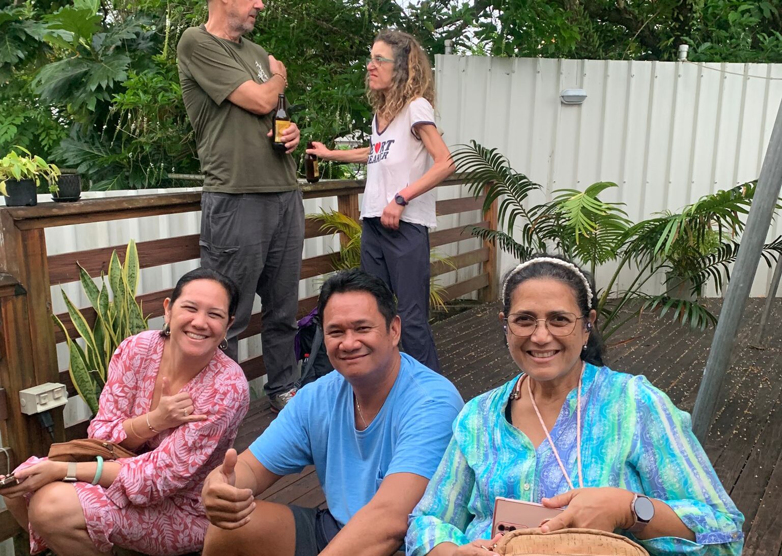
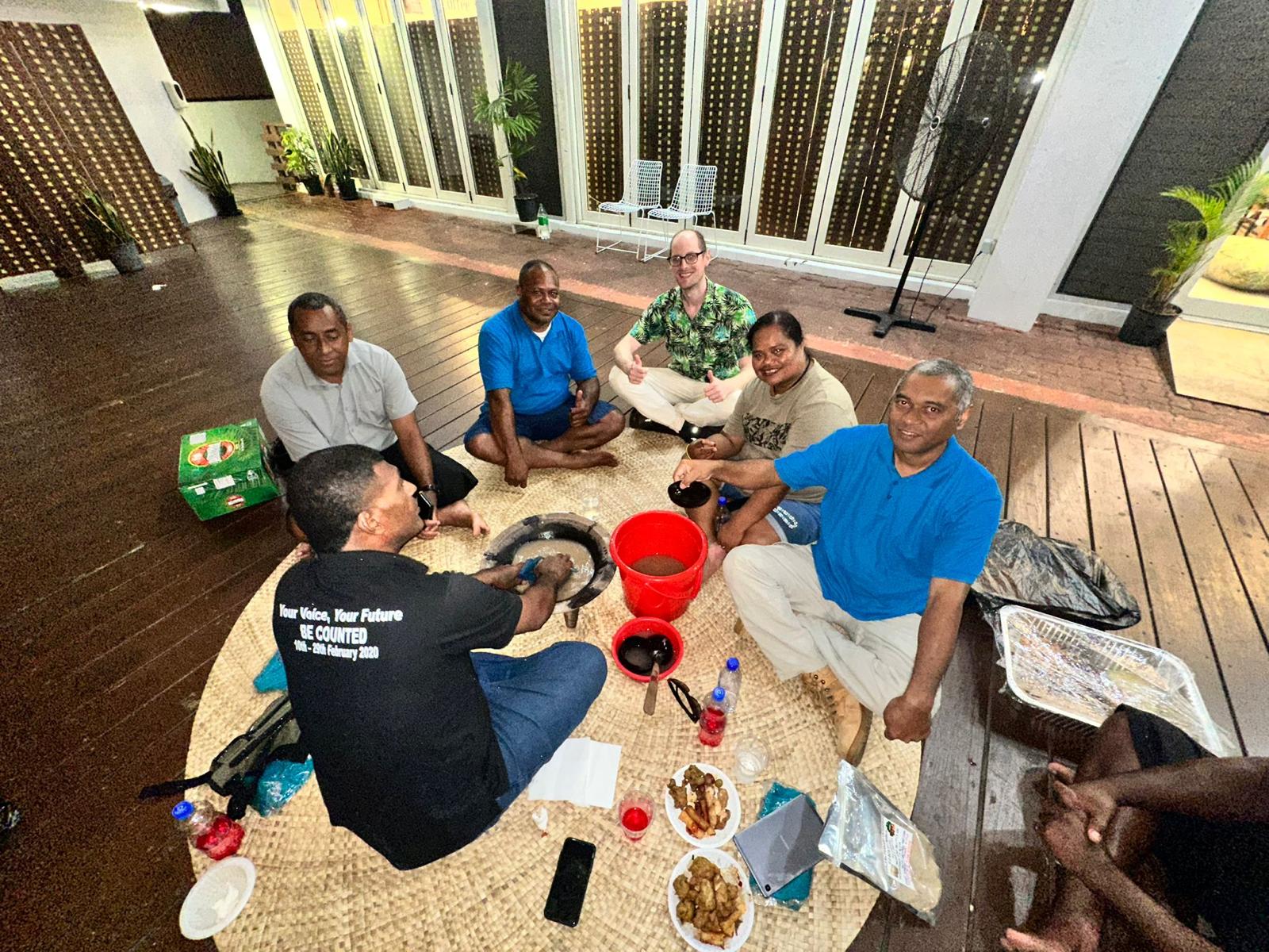
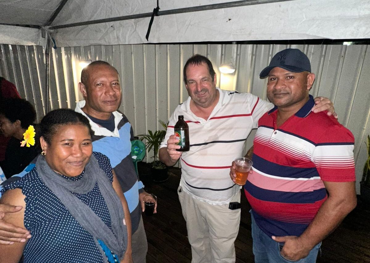
Conference Highlights
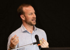
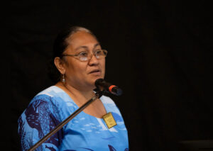
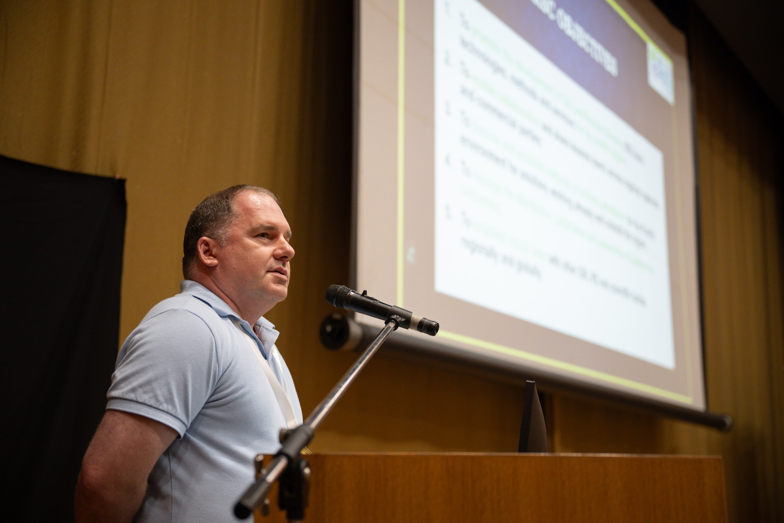
The 2025 Conference brings together more than 170 participants from around the world. 16 Pacific Island countries and territories and 6 International countries were represented and PGRSC National Focal Points had the opportunity to highlight in-country activities around GIS and Remote Sensing.
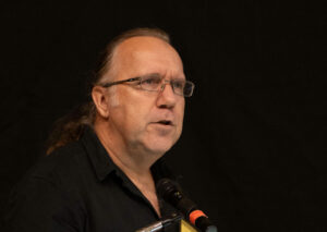
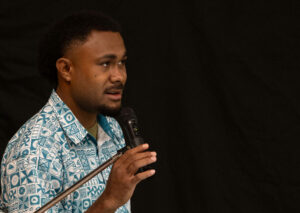
Several discussion sessions focused on fruitful exchanges about topics of interest for the community.
Key indicators

170 Participants from 22 countries (16 Pacific Island Countries and Territories and 6 International) represented.

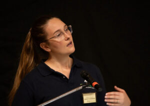
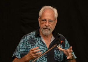
40 Presentations from 12 thematic sessions, 6 discussion panels, and a Women in GIS session.

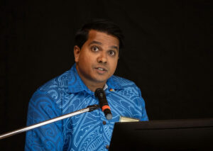
4 workshops, National Focal Points lightning talk.
Conference sponsors


Day 1 Presentations


Day 2 Presentations


Day 3 Presentations
| ————— | ————————- | Wednesday Session 1 – Mapping – Session Leader: Open |
|---|---|---|
 | Duncan Hume | Designing Data Governance Frameworks for Marine Spatial Planning in the Pacific |
 | Robin Workman | Assessing unpaved road condition using GIS, Machine Learning, and Satellite Imagery |
 | Raviky Talae | Dr. Bhavesh Jain | Building a Climate-Informed Road Asset Management System for Vanuatu |
 | Andrew Blakie | Using GIS to Support Ethical Cocoa Supply Chains and EUDR Compliance in the Pacific |
| ————— | ————————- | Wednesday Session 2 – Discussion – Session Leader: Open |
 | Amy Griffin | Carthography |
 | Simon Morris | Drone or Space Born Images? |
 | Sachindra Singh | GIS Proprieary or Open Source? |
 | Cassie Stelow | Disaster Risk Management |
  | Bradley Eichelberger and Jean Massenet | National Geospatial Frameworks |
 | Andiswa Mlisa | Authoritative Data Sources |
| ————— | ————————- | Wednesday Session 3 – Open – Session Leader: Open |
 | Sebastian Robertson | Ensuring Continuity of Earth Observation Data: Risks, Resilience and Regional Opportunity for the Pacific |
 | Andrew Shelly | Sustainable Drone Regulation for the Pacific Islands |
 | Daniel Worger | High-Resolution LiDAR for Pacific Environments |
 | Simon Morris | The Climate Challenge: Thermal Satellite data for Fire and Environmental Monitoring |
| ————— | ————————- | Wednesday Session 4 – Open – Session Leader: Open |
 | Robin Workman | Geospatial Measurement of SDG 9.1.1 (Rural Access Index) for Rural Development and Connectivity |
| . | . | |
 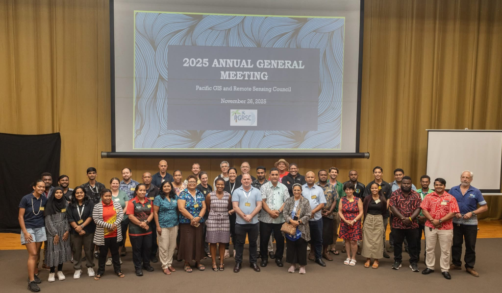 | . | Annual General Meeting |
 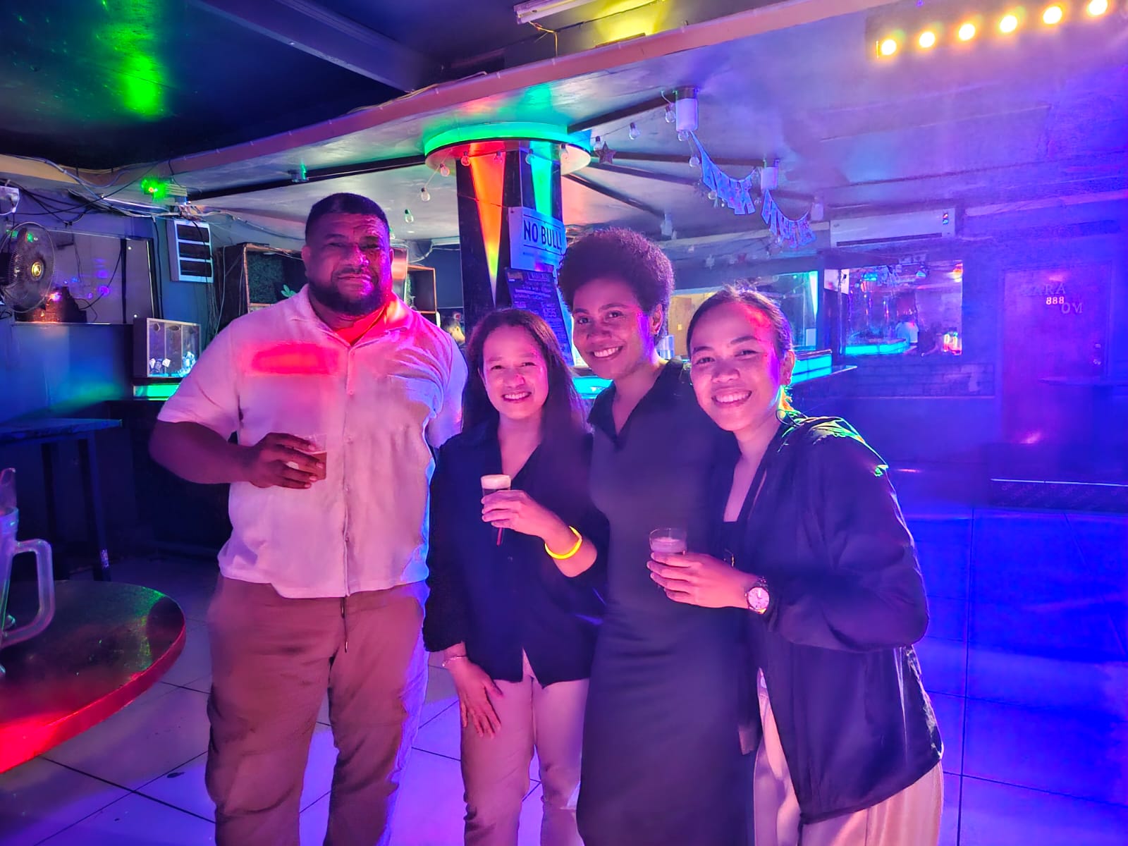 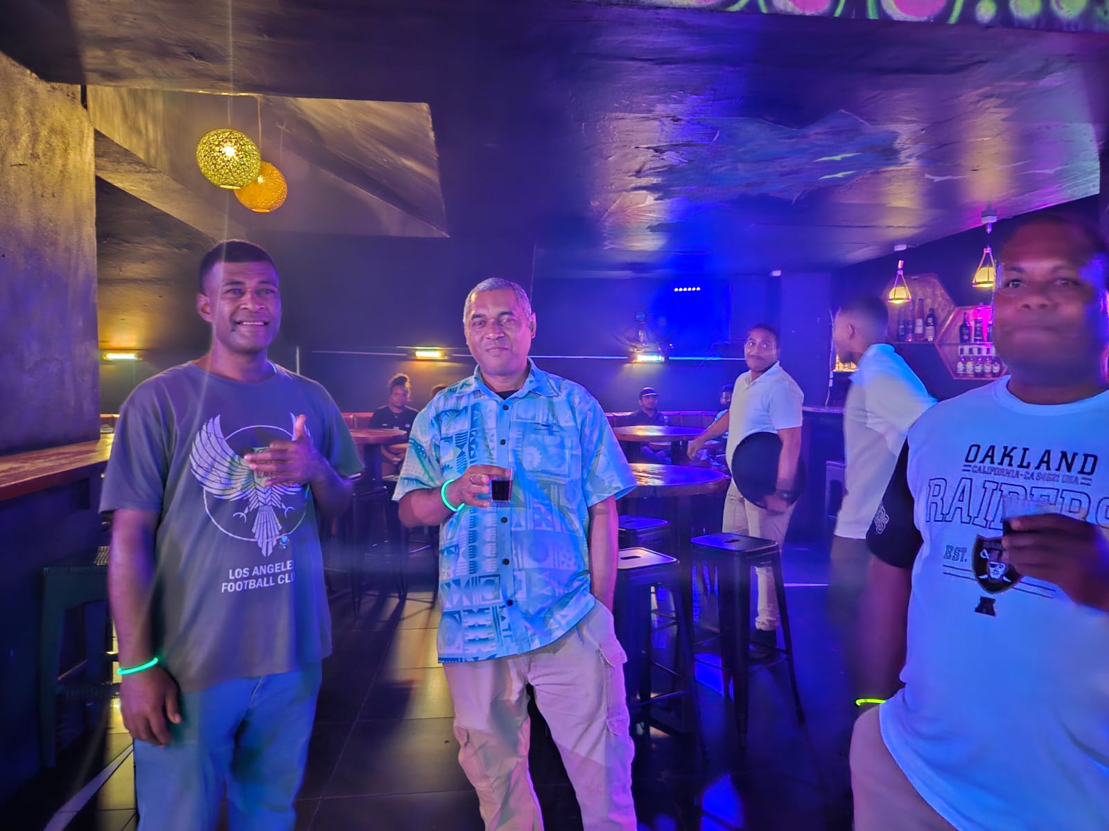 | ————————- | Through the Fiji Night Clubs |
Day 4 Presentations
| ————— | ————————- | Thursday Session 1a – Women in GIS and Remote Sensing |
|---|---|---|
    | Moderator: Andiswa Mlisa | Panel Discussion “Women in GIS & Remote Sensing” |
| ————————- | Thursday Session 1b – Mapping | |
 | Marco Bernasocchi | Mapping the World, Empowering People_ QField’s Vision in Practice |
| Andrew Blakie | GIS-Driven Biosecurity Surveillance in New Zealand’s Forests: A Case Study from SPS Biota |
| ————— | ————————- | Thursday Session 2 – Open Session Leader: Open |
 | Marco Bernasocchi | QGIS – Spatial without compromise |
 | Richard Russell | Empowering Island Resilience: UAS Mapping, Regulation and Capacity Building Across the Pacific |
 | Gavin Jeter | Automated Spatial Workflows for Disaster Response & Risk Management |
| Malakai T Tadulala, Satyanarayan N Shashtri, Joeli Varo, Nichollas Rollings, Ulukalesi B Tamata, Todd E Dennis | Climate-Resilient and Management of Aquifer Potential Using Remote Sensing, GIS-Machine Learning, in the Nadi Basin, Viti Levu, Fiji |
    | ————————- | Closing Coctail |