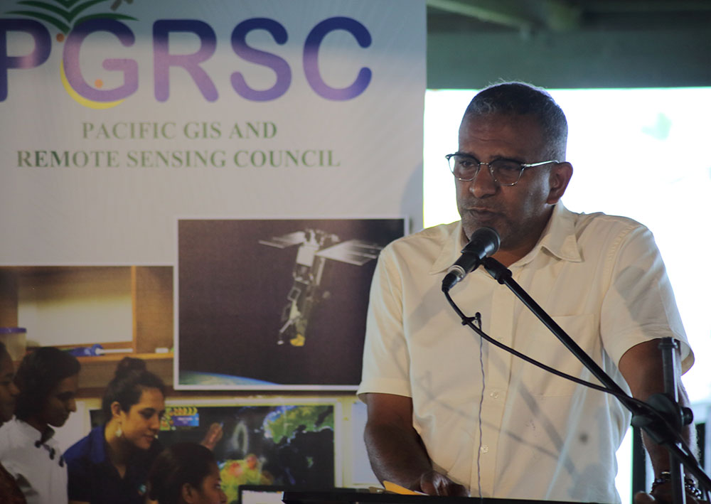
Taken from Fiji Government
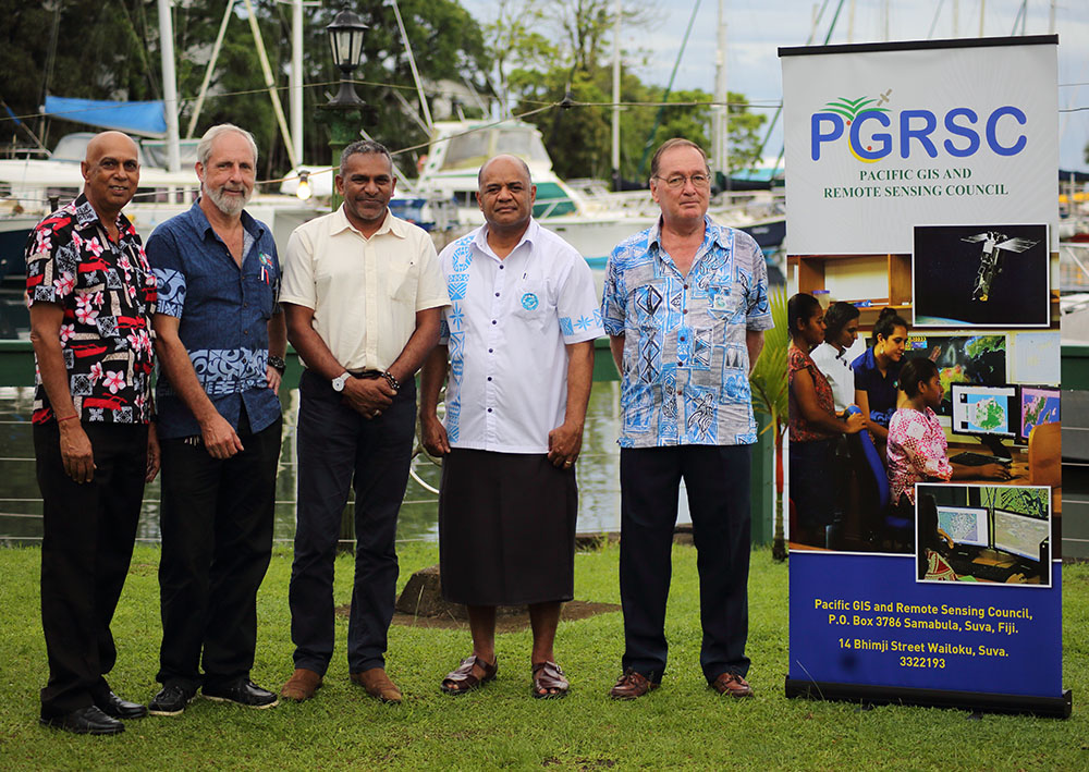
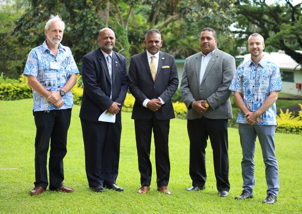
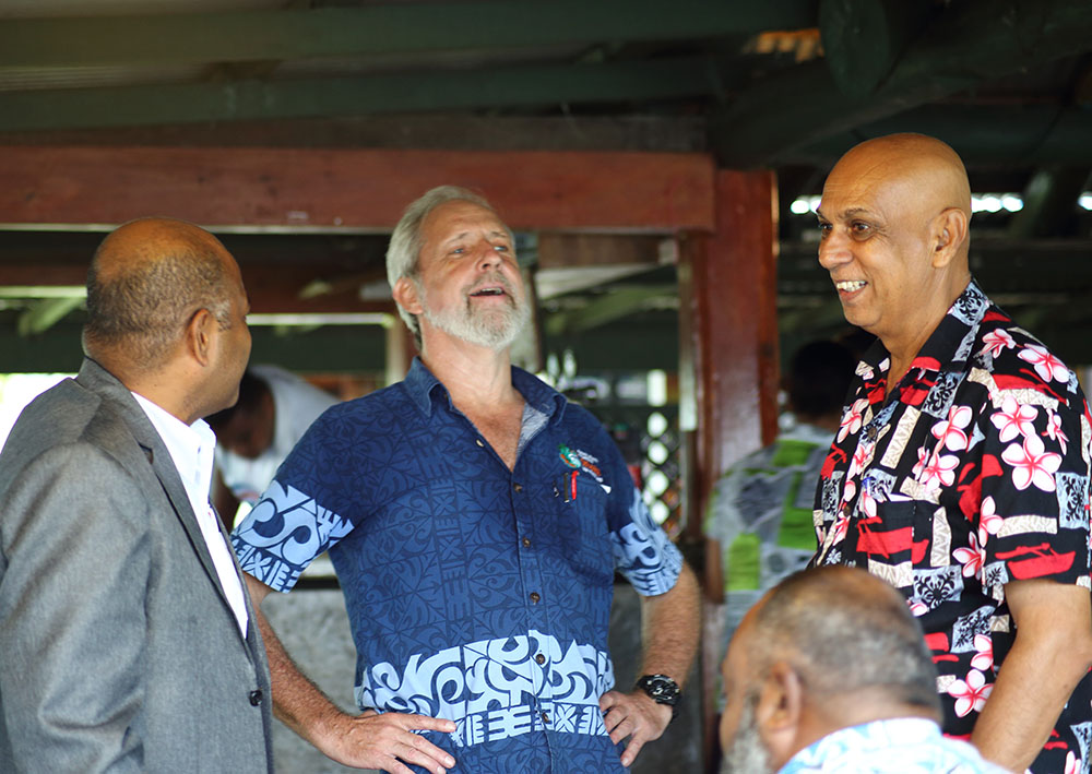
Minister for Industry, Trade, Tourism, Lands and Mineral Resources Hon. Faiyaz Siddiq Koya today officiated at the launch of the Pacific Geographical Information Systems & Remote Sensing Council at Walu Bay in Suva.
While speaking at the event, Minister Koya commended the staff of the Ministry of Lands and their partners at the Pacific Community (SPC) and the University of the South Pacific (USP) for their foresight in the creation of the council.
“Another key objective of the Council is to ensure connectivity and robust linkages with other GIS, Remote Sensing and scientific bodies both regionally and globally,” Minister Koya said.
The council has three trustees; the permanent secretary of Lands and Mineral Resources Mr Malakai Finau, a former Director of SOPAC Dr Russell Howarth, and a Commissioner for Oaths and recent Member of the Order of Fiji Award Mr Rajendra Singh.
The Chairman of the Council’s board is Dr Wolf Forstreuter and the Board members consist of GIS and remote sensing specialists from the Ministry of Lands, Ministry of Forestry, USP and SPC.

