The focus was on the powerful synergy between GIS and drones in tackling climate change across the Pacific!
Key Highlights:
- GIS & Drones for Climate Action: Speakers demonstrated how drones provide real-time data, while GIS turns that data into actionable insights for monitoring coastal erosion, mapping disaster-prone areas, and managing resources.
- Regional Perspectives: Experts from across the Pacific shared how GIS is driving sustainable development in their countries—helping to address climate challenges, protect ecosystems, and support communities.
The message is clear: GIS and drones are indispensable tools in our fight against climate change, enabling smarter decisions for a resilient Pacific future.
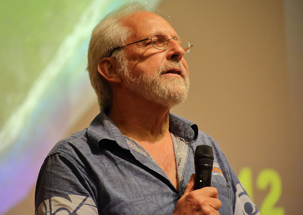
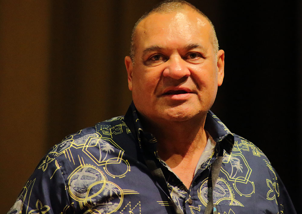
Check out some portraits from yesterday’s inspiring sessions!


