
How can AI help Pacific organisations work with the geographic information they already use? Sarah Pitcher-Campbell of Eagle Technology will explore practical connections between AI and GIS.
As GIS Account Manager for the South Pacific, Sarah works with government agencies, regional organisations and other GIS users. She brings more than 15 years of experience across government, forestry and natural resource management.
Her presentation will use demonstrations and Pacific-focused examples to explore field data collection, information extraction from imagery and natural-language questions about maps. Emerging agentic approaches will also feature in the discussion.
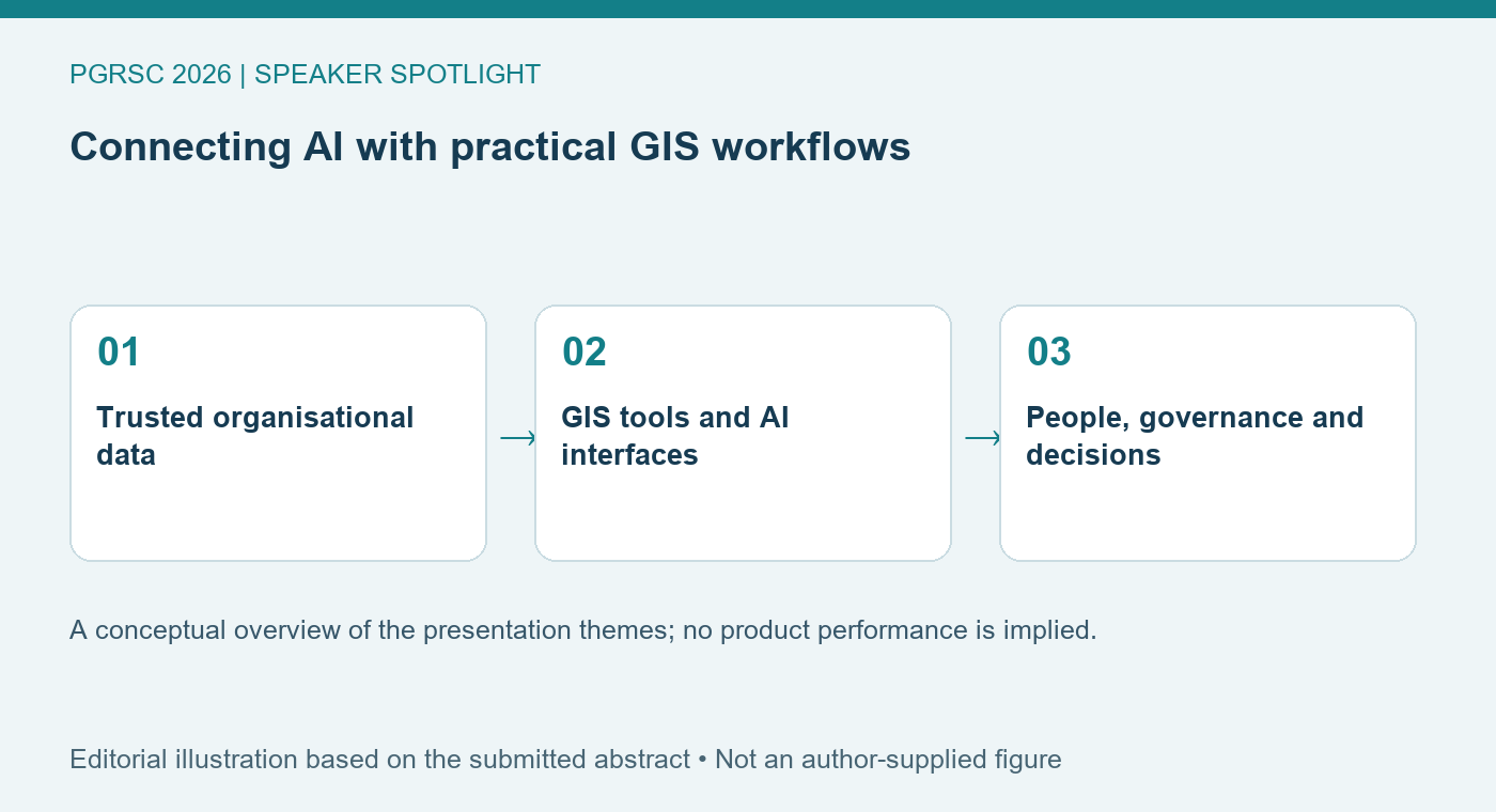
Authoritative organisational data, governance and human judgement are central to the approach. Join Sarah to consider how these capabilities can support the people who know their organisation’s information, workflows and decisions.
2026 Pacific Islands GIS & Remote Sensing User Conference
30 November–4 December 2026 · Suva, Fiji
Theme: “Strengthening and Expanding Geospatial Networks in the Pacific Islands”.
Conference registration · Explore the programme
Featured image: Editorial illustration based on the submitted abstract: A conceptual overview of the presentation themes; no product performance is implied. Not an author-supplied figure.