
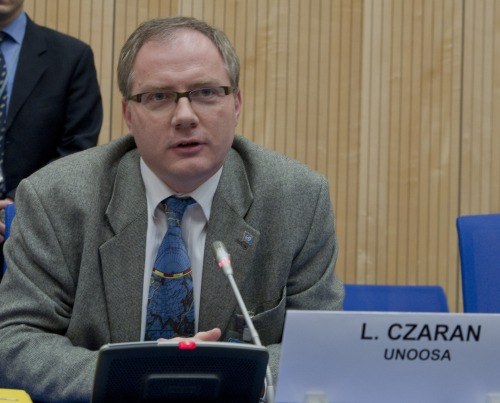
From international satellite cooperation to island-scale digital twins, Lorant Czaran and Jumpei Takami will share how UNOOSA and UN-SPIDER work with Pacific partners on disaster resilience.
Lorant, Chief of UNOOSA’s Space Applications Section, will introduce UN-SPIDER’s technical advice, knowledge sharing and capacity-building activities. His contribution will also explain pathways through which national agencies can connect with international emergency observation mechanisms.
Jumpei, Associate Expert in Remote Sensing for Disaster Management, will present the Pacific Digital Twin for Disaster Resilience project in the Cook Islands, Tonga and Palau, funded by the Government of Japan. Satellite elevation data, reliable height references and national partnerships underpin the work.

Together, the presentations connect international support with practical questions about elevation, flood scenarios and geospatial tools that national agencies can use and maintain. Join the discussion in Suva to discover the approaches and the partnerships behind them.
UNOOSA/UN-SPIDER contributions: Lorant Czaran and Jumpei Takami.
2026 Pacific Islands GIS & Remote Sensing User Conference
30 November–4 December 2026 · Suva, Fiji
Theme: “Strengthening and Expanding Geospatial Networks in the Pacific Islands”.
Conference registration · Explore the programme
Featured image: Photograph supplied with the submission by Lorant Czaran.