
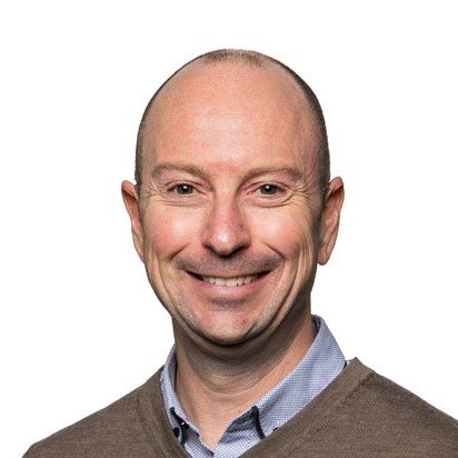
When disaster information arrives in different formats from different organisations, bringing it together can become a challenge of its own. Gavin Jeter’s workshop puts that practical problem at the centre of a Pacific Islands disaster response scenario.
Gavin is Business Solutions Lead at Locus Global in New Zealand and brings more than 20 years of geospatial industry experience. An FME specialist with all four certifications, he is particularly interested in helping people gain confidence with data integration.
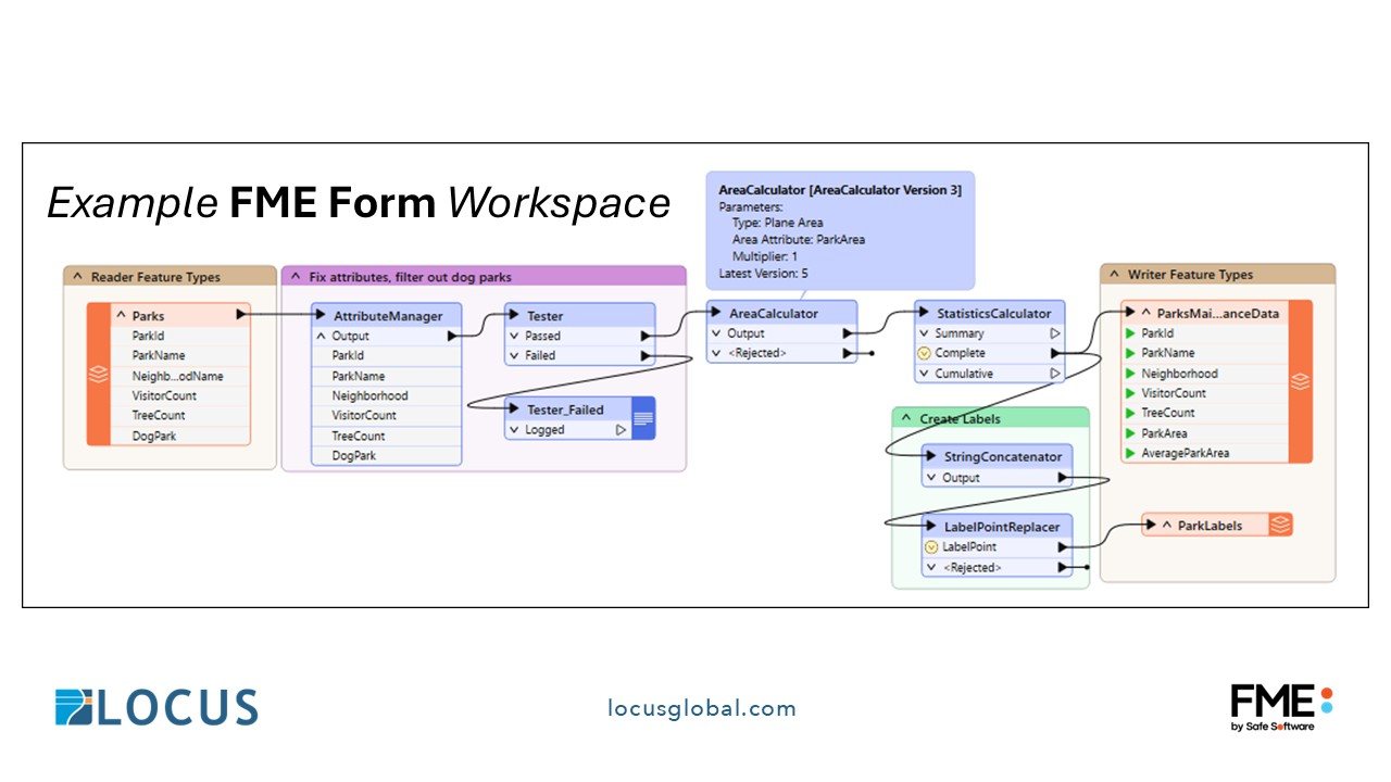
Through guided demonstrations and hands-on exercises, participants will explore how FME Form and FME Flow can combine, transform, validate and automate data before it is visualised in QGIS. The focus is on building repeatable workflows and understanding how different datasets contribute to an operational picture.
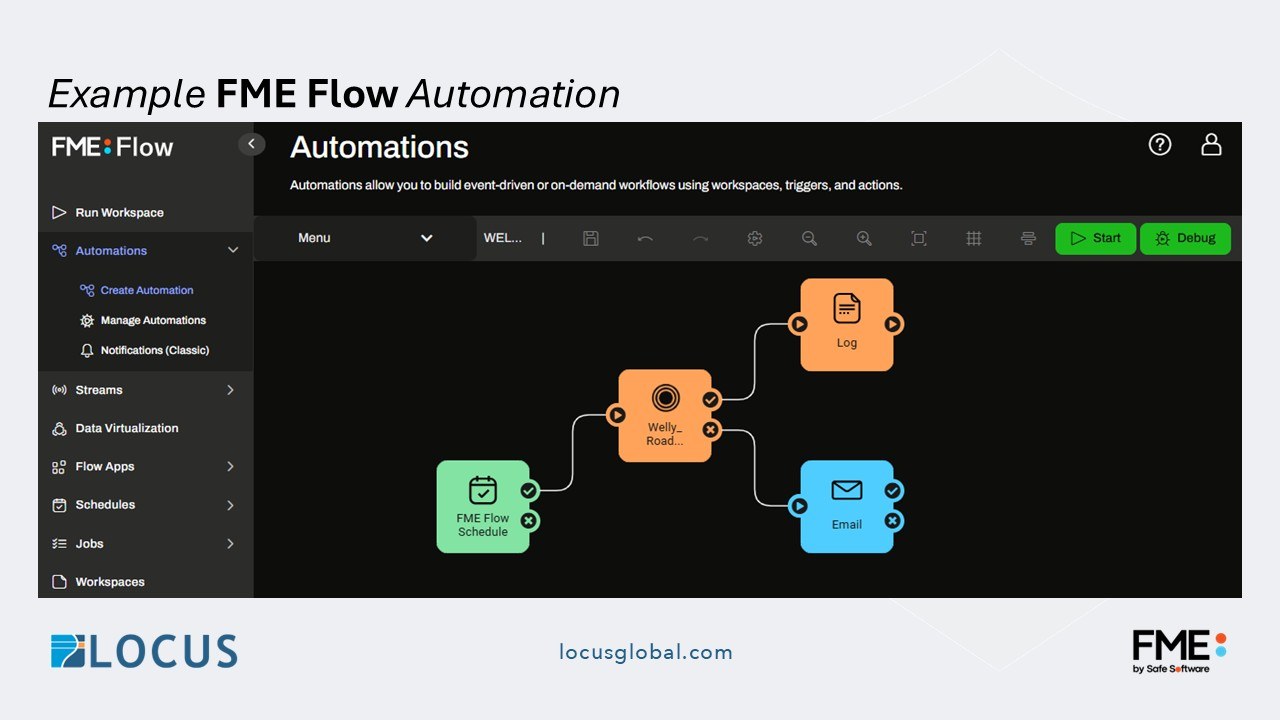
The workshop is designed for people with little or no prior experience of FME or QGIS. If you have ever wondered how to make a collection of disconnected files more useful to your organisation, this is an opportunity to learn with a practitioner who enjoys making the process accessible. Check the conference programme for workshop arrangements.
2026 Pacific Islands GIS & Remote Sensing User Conference
30 November–4 December 2026 · Suva, Fiji
Theme: “Strengthening and Expanding Geospatial Networks in the Pacific Islands”.
Register to join us in Suva · Explore the conference programme