
Finding water underground and preparing for water above ground require different approaches, but both depend on turning spatial evidence into useful decisions. Two presenters bring case studies from Papua New Guinea and Romania.
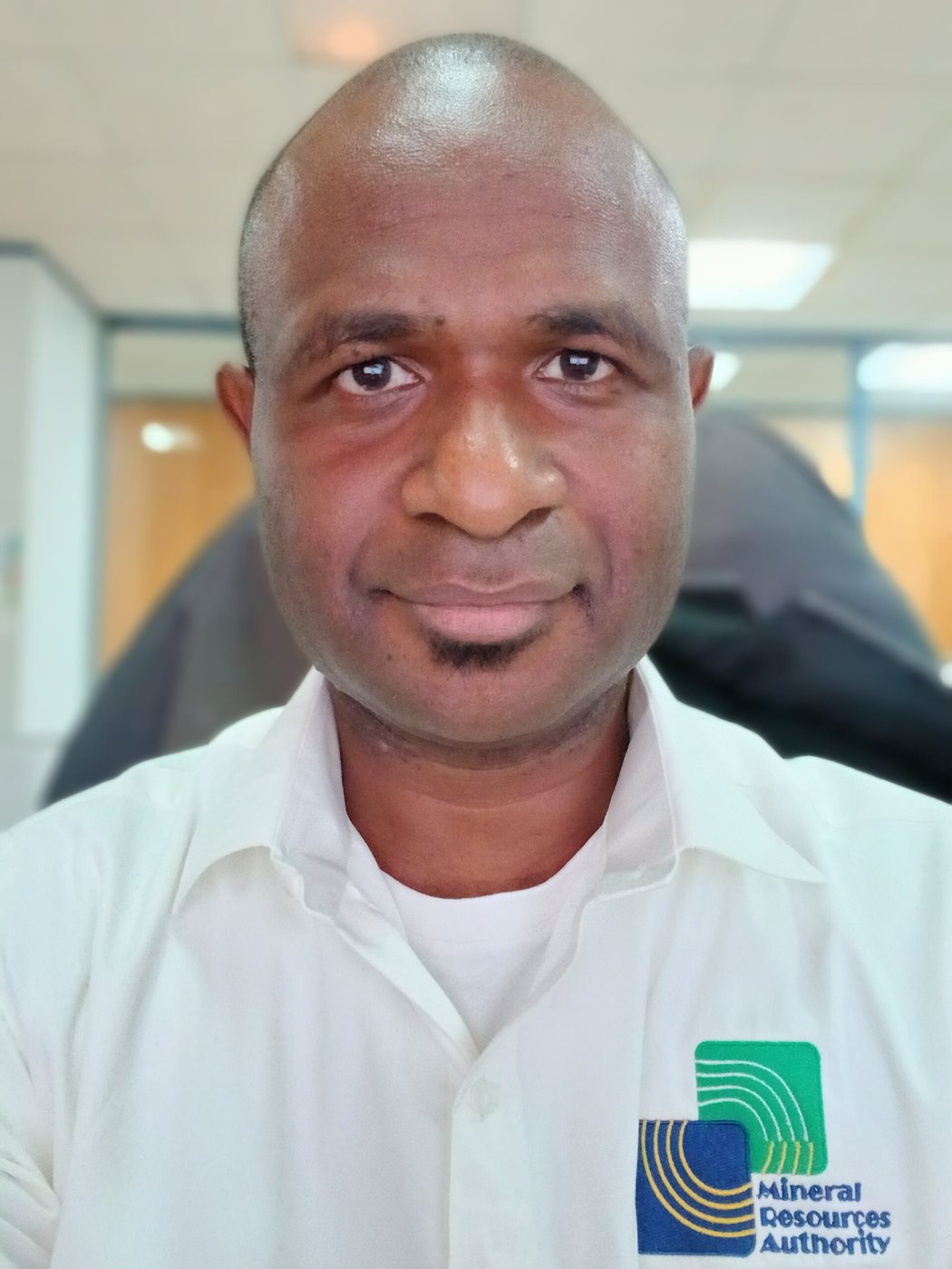
Jayson Inau, Geological Data Compiler at Papua New Guinea’s Mineral Resources Authority (MRA), will share his research on groundwater potential in Kairuku District. A Geomatics graduate of the Papua New Guinea University of Technology, he combines multiple environmental layers in GIS and compares the resulting map with existing resistivity observations. His talk invites discussion of how remote sensing can guide groundwater investigation.
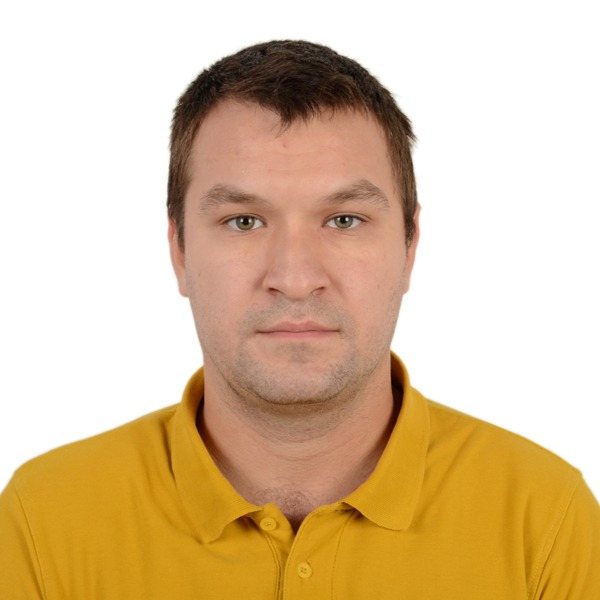
Nicolae Cristian Popescu of Transilvania University of Brașov will present work coauthored with Romulus Costache and Nicu Ciobotaru on a flash-flood warning service developed within the EU-funded MULTICARE project. The Tecuci case study connects forecasting, flood modelling, exposure and warning communication, including the role of expert validation.
Meet Jayson and Nicolae to explore what connects a useful map with the next practical step—and what these different water-management settings can contribute to a wider exchange of geospatial experience.
2026 Pacific Islands GIS & Remote Sensing User Conference
30 November–4 December 2026 · Suva, Fiji
Theme: “Strengthening and Expanding Geospatial Networks in the Pacific Islands”.
Register to join us in Suva · Explore the conference programme
Research credits (groundwater study): Jayson Inau, Sailesh Samanta and Cathy Koloa, Papua New Guinea University of Technology.