
How can satellite observations help us understand changing agricultural and river landscapes? Lauren Herwehe and Md Sohan Khan will share studies using Earth observation to investigate agricultural land use in Mozambique and seasonal sediment dynamics in Bangladesh.
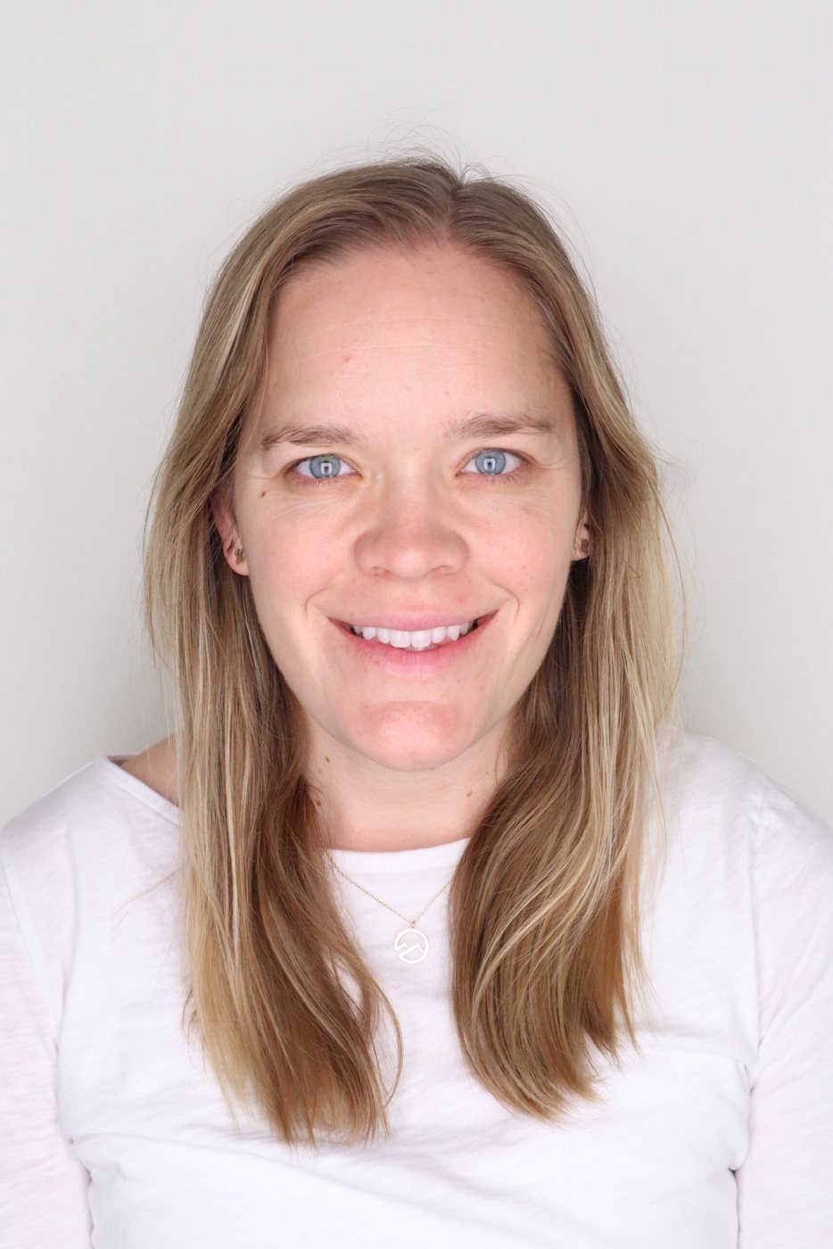
Lauren Herwehe, a Geography PhD candidate at the University of Colorado Boulder, studies agricultural land use change in Mozambique. Her presentation brings satellite information together with environmental and socioeconomic datasets to examine how conflict and extreme weather are associated with changing cultivation patterns. Her work connects geospatial methods with questions about livelihoods and adaptation.
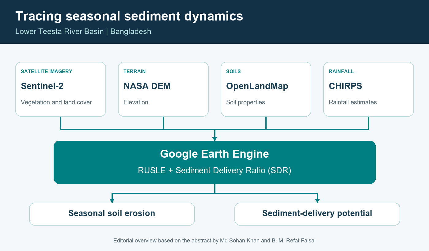
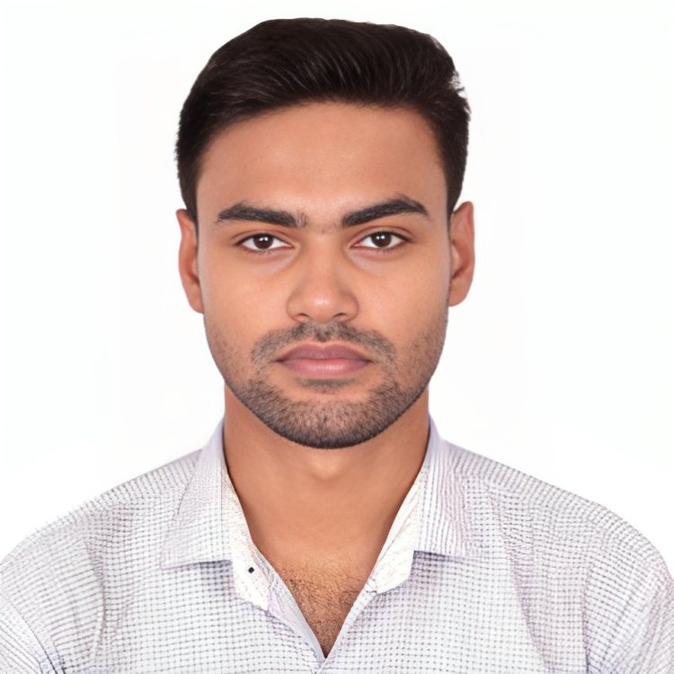
Md Sohan Khan, a researcher and Junior Research Fellow at the Bangladesh Space Research and Remote Sensing Organization (SPARRSO), presents work coauthored with B. M. Refat Faisal on seasonal sediment assessment in the Lower Teesta River Basin. Their Google Earth Engine framework combines satellite and geospatial datasets to assess seasonal hillslope erosion and sediment-delivery potential in the Lower Teesta River Basin.
Join Lauren and Sohan to discover the approaches behind these studies and exchange ideas on using Earth observation for environmental monitoring and geospatial analysis.
2026 Pacific Islands GIS & Remote Sensing User Conference
30 November–4 December 2026 · Suva, Fiji
Theme: “Strengthening and Expanding Geospatial Networks in the Pacific Islands”.
Register to join us in Suva · Explore the conference programme
Research credits (Lower Teesta study): Md Sohan Khan and B. M. Refat Faisal, SPARRSO.