

How can geospatial information help disaster managers understand who and what may be affected? Cassie Stelow of Pacific Disaster Center (PDC) will explore the connections between risk information, early warning and practical decisions in the Pacific.
Cassie, Director of Information Technology at Pacific Disaster Center (PDC), leads the technical development and operation of DisasterAWARE. Her presentation connects baseline risk information, early warning and impact analysis, with current work in Samoa providing a Pacific context. PDC is an applied science and technology centre managed by the University of Hawaiʻi.
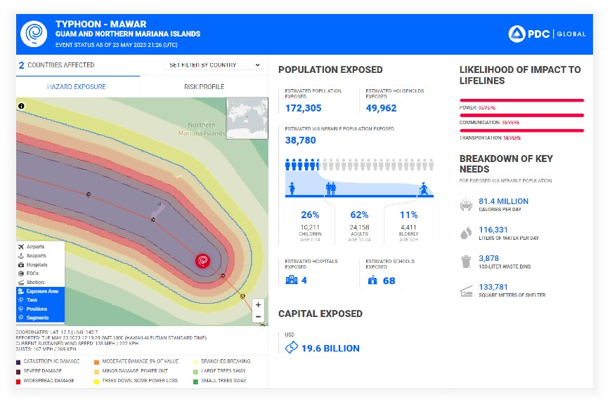
Join Cassie to explore how trusted data, local expertise and sustained partnerships can help connect hazard monitoring with preparedness, response and recovery. Her contribution offers an opportunity to discuss the information and relationships needed to turn analysis into action.
2026 Pacific Islands GIS & Remote Sensing User Conference
30 November–4 December 2026 · Suva, Fiji
Theme: “Strengthening and Expanding Geospatial Networks in the Pacific Islands”.
Register to join us in Suva · Explore the conference programme