
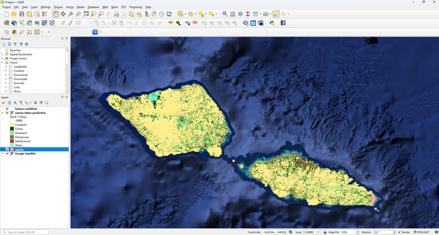
Cloud cover and changing coastlines pose different challenges for environmental monitoring. Vasemaca Naraukawa, Fayth Tikotani and Elenoa Cibaiwasawasa are contributing two studies that explore how geospatial analysis can help address them in the Pacific.
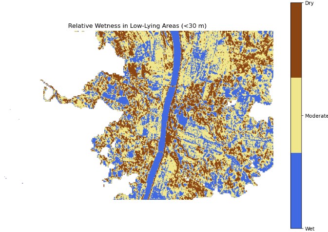
Working with the Pacific Community (SPC), the team uses Digital Earth Pacific and satellite observations to investigate practical environmental questions. Their Sentinel-1 study examines radar-based soil moisture patterns and building detection, with potential applications in disaster monitoring. What can radar reveal when optical imagery is limited by cloud?
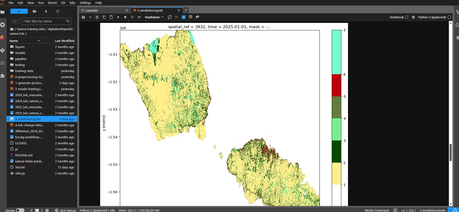
A complementary contribution by Elenoa Cibaiwasawasa, Vasemaca Naraukawa and Fayth Tikotani focuses on coastal hazard vulnerability in Samoa. It brings together coastal geomorphology, shoreline information and land use and land cover indicators to investigate where coastal communities and natural protective ecosystems may be exposed.
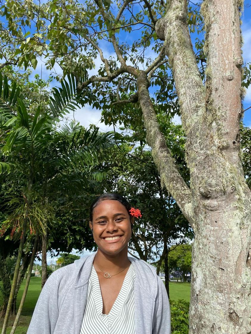
These presentations provide an opportunity to meet emerging Pacific geospatial practitioners and discuss how regional platforms can support locally relevant analysis. Come with your questions about coastal monitoring, radar data and the next steps from research to application.
2026 Pacific Islands GIS & Remote Sensing User Conference
30 November–4 December 2026 · Suva, Fiji
Theme: “Strengthening and Expanding Geospatial Networks in the Pacific Islands”.
Register to join us in Suva · Explore the conference programme