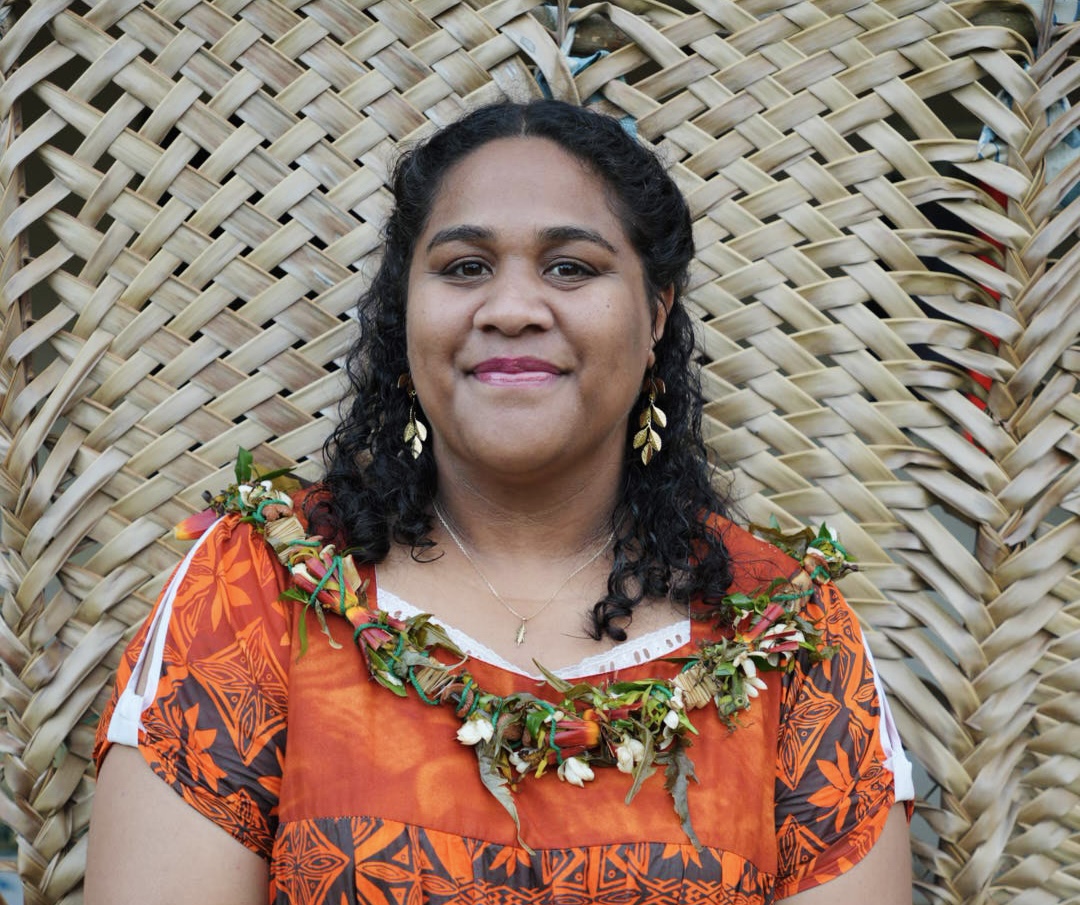
Since February 2024, I have been serving as Head of the Heritage and Geographic Information Systems (GIS) Section at the Department of Public Works of the Territory of the Wallis and Futuna Islands. This is my first professional position following the completion of my academic studies.
I hold a Bachelor’s degree in Geography and Land Use Planning and a Master’s degree in Sustainability Science, specializing in Climate Change and Environmental Science. During my master’s program, I completed a specialization internship focused on the evaluation and improvement of tools for monitoring, managing, and disseminating geographic information.
My work focuses on strengthening geospatial governance and supporting evidence-based public decision-making. My main responsibilities include leading the development of the Territorial GIS Master Plan, managing geographic databases, and coordinating the design, production, and regular updating of public geospatial data in collaboration with government departments and stakeholders.
In addition to my core responsibilities, I contribute to capacity building through training and awareness activities related to GIS and satellite applications. I have completed professional training on satellite applications for decision-makers, delivered by CEREMA and the French Ministry for Ecological Transition, as well as emergency response training provided by the Uvea Fire and Rescue Service.
I also serve as the Wallis and Futuna Focal Point for the Pacific GIS and Remote Sensing Council (PGRSC) and as a Space Ambassador for the French National Centre for Space Studies (CNES), promoting the use of geospatial and Earth observation technologies to support sustainable development and informed public policies in Pacific island territories.
Hélène Bella PATEL
Interested in: Contractual Work
Since February 2024, I have been serving as Head of the Heritage and Geographic Information Systems (GIS) Section at the Department of Public Works of the Territory of the Wallis and Futuna Islands. This is my first professional position following the completion of my academic studies.
I hold a Bachelor's degree in Geography and Land Use Planning and a Master's degree in Sustainability Science, specializing in Climate Change and Environmental Science. During my master's program, I completed a specialization internship focused on the evaluation and improvement of tools for monitoring, managing, and disseminating geographic information.
My work focuses on strengthening geospatial governance and supporting evidence-based public decision-making. My main responsibilities include leading the development of the Territorial GIS Master Plan, managing geographic databases, and coordinating the design, production, and regular updating of public geospatial data in collaboration with government departments and stakeholders.
In addition to my core responsibilities, I contribute to capacity building through training and awareness activities related to GIS and satellite applications. I have completed professional training on satellite applications for decision-makers, delivered by CEREMA and the French Ministry for Ecological Transition, as well as emergency response training provided by the Uvea Fire and Rescue Service.
I also serve as the Wallis and Futuna Focal Point for the Pacific GIS and Remote Sensing Council (PGRSC) and as a Space Ambassador for the French National Centre for Space Studies (CNES), promoting the use of geospatial and Earth observation technologies to support sustainable development and informed public policies in Pacific island territories.
Contact
Email
helene.patel@travaux-publics.wf
Website / LinkedIn
www.linkedin.com/in/helenepatel
General expertise
- Geographic Information System★★☆Intermediate
- Remote Sensing★☆☆Basic
- Drone piloting★★☆Intermediate
- GNSS★☆☆Basic
- Programming★☆☆Basic
- Mapping★★☆Intermediate
Software programs and years of experience
| Software | < 3 years | 3-10 years | > 10 years |
|---|---|---|---|
| GIS - QGIS | ✅ | ||
| GIS - ArcGIS | |||
| GIS - Other | |||
| RS - ENVI | |||
| RS - ERDAS IMAGINE | |||
| RS - Other | |||
| Photogrammetry - Pix4D | |||
| Photogrammetry - Metashape | |||
| Photogrammetry - Other |
Experience timeline
- 2024 - Present : Head of Heritage et GIS section, Public Works Department, TERRITORY OF WALLIS AND FUTUNA Islands.
Additional skills and projects
- Other skills / projects
Evaluation and improvement of geospatial monitoring tools for wildfire environmental assessment in New Caledonia
Countries
- Work experience
- New Caledonia, Wallis and Futuna
- Interested in working
- American Samoa, Australia, Fiji, French Polynesia, Hawaii, New Caledonia, New Zealand, Papua New Guinea, Samoa, Solomon Islands, Vanuatu