
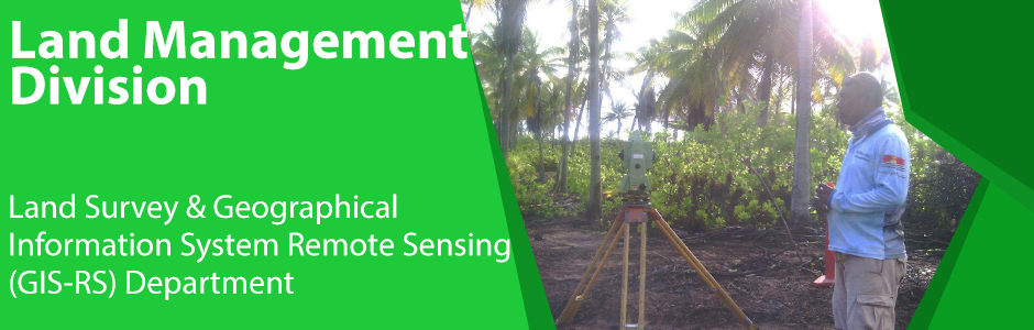
PGRSC is pleased to annouce a new institutional member: Kiribati GIS User Group / MELAD GIS User Group
The Ministry of Environment, Lands and Agricultural Development (MELAD), through its GIS and Remote Sensing Unit, is pleased to support the Pacific GIS and Remote Sensing Council (PGRSC). As a Small Island Developing State facing unique environmental and climate challenges, Kiribati recognizes the importance of geospatial information in supporting land administration, coastal monitoring, environmental management, and climate resilience.
Membership in PGRSC provides valuable opportunities for regional collaboration, knowledge sharing, technical capacity development, and the advancement of geospatial technologies across the Pacific.
We look forward to contributing to and learning from the wider Pacific geospatial community as we work together to strengthen evidence-based decision-making and sustainable development throughout the region.
Kiribati GIS User Group (KGUG): The Kiribati GIS User Group (KGUG) is a collaborative network of GIS and geospatial professionals, government agencies, and stakeholders working to promote the effective use of Geographic Information Systems (GIS) and geospatial technologies in Kiribati. The group provides a platform for knowledge sharing, capacity building, data coordination, and collaboration to support evidence-based planning, climate resilience, environmental management, disaster risk reduction, and sustainable development across the country.
MELAD GIS User Group: The MELAD GIS User Group operates under the Ministry of Environment, Lands and Agricultural Development (MELAD) and brings together GIS users from the Land Management Division, Environment and Conservation Division, and Agriculture and Livestock Division. The group promotes the sharing of spatial data just within the Ministry, technical expertise, and best practices to strengthen geospatial information management and support informed decision-making within the Ministry.