
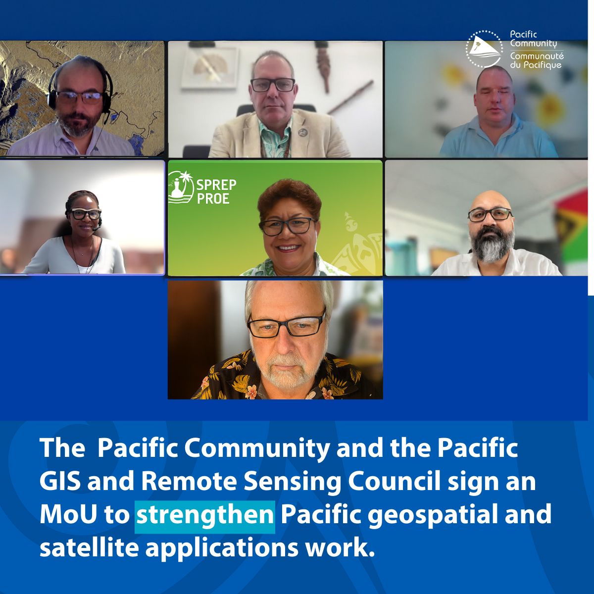
The Pacific Community (SPC) and the Pacific GIS and Remote Sensing Council (PGRSC) have signed a Memorandum of Understanding (MoU) to collaborate on outreach, training, and promotion of regional networking in support of strengthening geospatial and earth observation work for Pacific communities, thereby better informing decision-makers and the public about the importance and great potential of these technologies.
The MoU establishes a practical framework for collaboration, including joint promotion across platforms, audience-friendly materials that explain how satellite and geospatial data support everyday decisions, and coordinated workshops and webinars aligned with the PGRSC conference cycle. It also strengthens country-level engagement through PGRSC’s national focal points network.
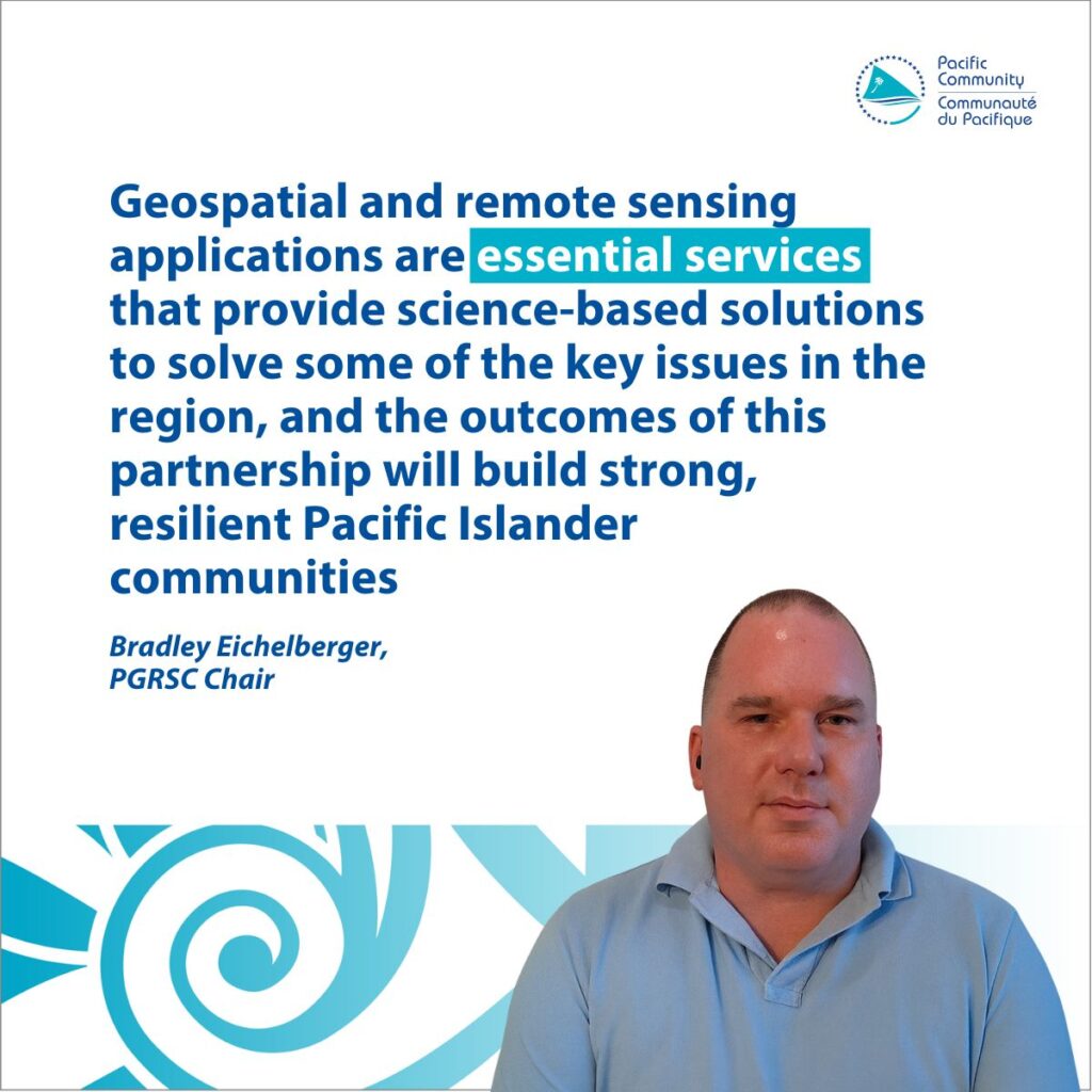
Bradley Eichelberger, PGRSC Chair, stated, “We are both honoured and excited to collaborate with the Pacific Community on ways to expand geospatial and earth observation capacity and knowledge sharing across the Pacific Islands countries. Geospatial and remote sensing applications are essential services that provide science-based solutions to solve some of the key issues in the region, and the outcomes of this partnership will build strong, resilient Pacific Islander communities.”
As part of a joint promotion, SPC will utilise the Digital Earth Pacific (DE Pacific) programme events to showcase PGRSC’s community activities, while PGRSC will direct users to accessible public data, products, and tools such as provided in DE Pacific.
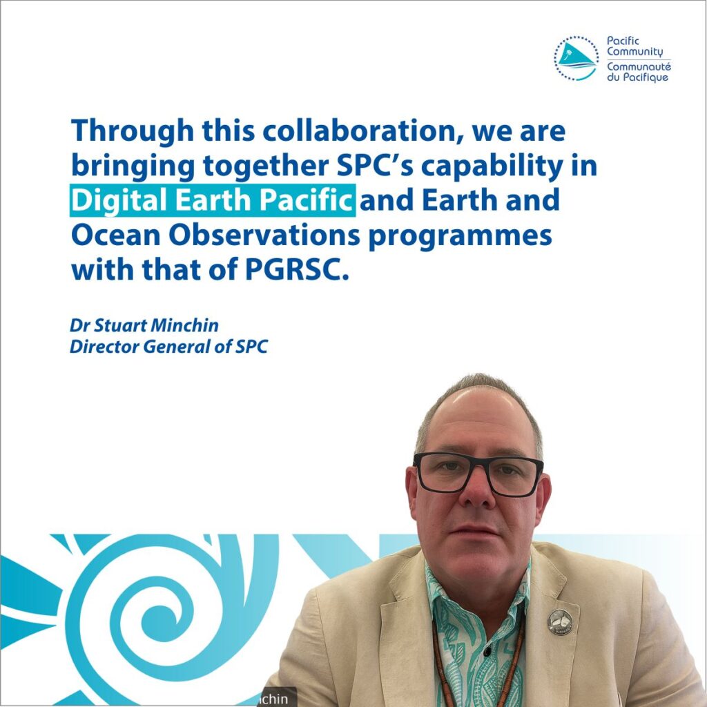
Dr Stuart Minchin, SPC Director General, said ” This MoU is not the beginning of our relationship, but a way of being more intentional and focused—so that together we can maximise the benefits of Earth observation and geospatial technologies for Pacific countries and territories. By joining forces, we can ensure that satellite-based solutions empower our communities to protect their resources, build resilience, and secure a sustainable future.”
This collaboration matters for people and decisions. By aligning training, focal-point outreach, and simple explanatory materials, the partners aim to help officials, practitioners, and communities apply geospatial insights to address practical needs, including planning services, climate resilience, supporting fisheries and agriculture, and enhancing local projects.
The MoU also encourages private-sector engagement and youth opportunities, highlighting the business value of geospatial information and supporting internships and entrepreneurship in GIS and satellite applications.
The partnership includes regular consultations to reduce duplication and maximise coordination of efforts, minimising the burden on members.
Next steps
The organisations will begin partnering on the delivery of the PGRSC Conference, to be held on 24 – 28 November 2025 in Suva, Fiji, through sponsorship, conference organising, and hosting of technical sessions and workshops. As part of this collaboration, workshops will be scheduled in consultation with PGRSC’s national focal points to strengthen country-level engagements. The partners will also confirm private-sector and youth engagement plans and identify opportunities to utilise existing communication hubs for knowledge sharing.
Learn more about Digital Earth Pacific: https://digitalearthpacific.org/