-
Happy New Year from PGRSC!
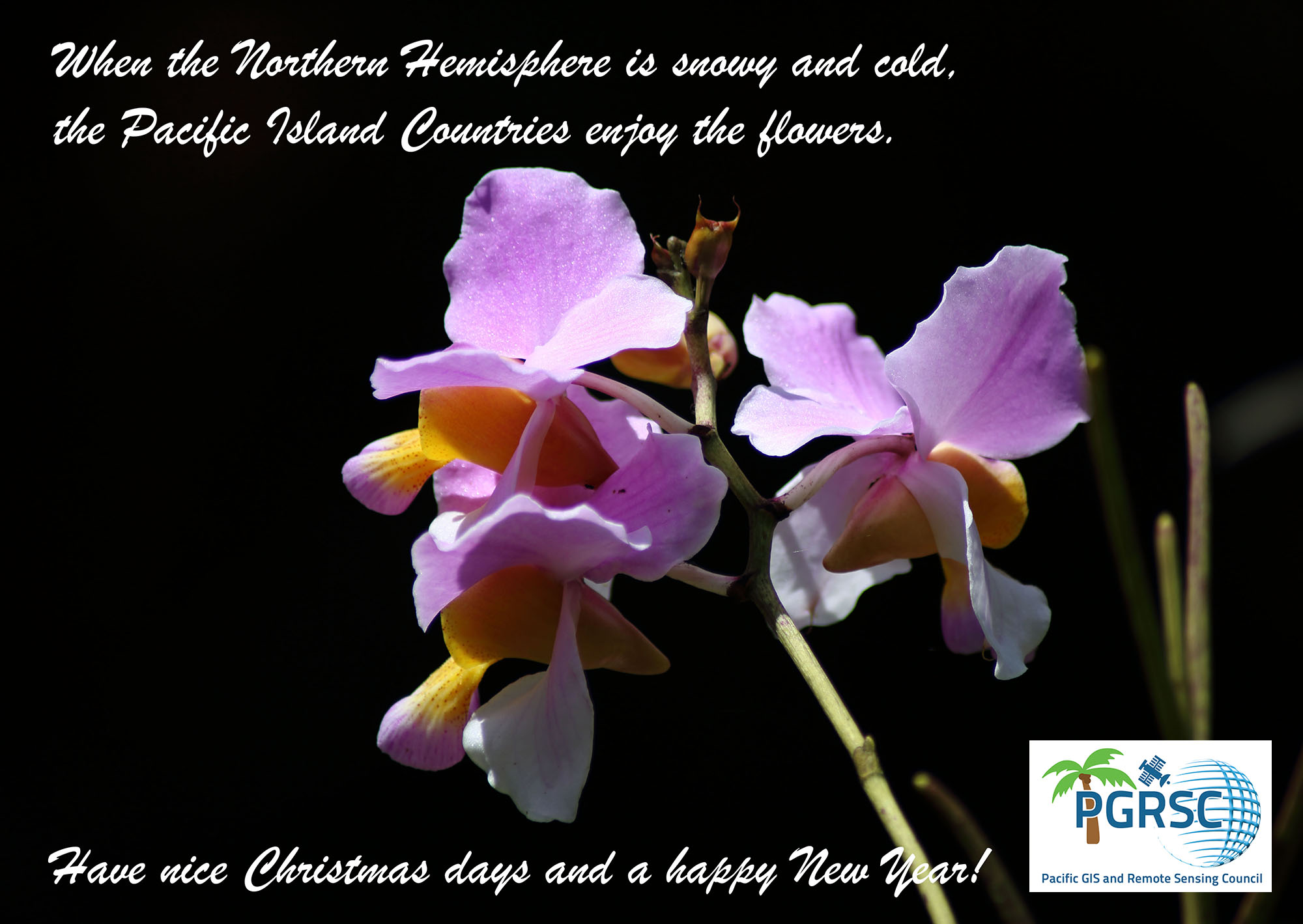
As we step into a new year, PGRSC extends its warmest wishes to all our partners, communities, and supporters around the world. The year ahead brings new challenges, but also […]
-
Sponsor

On behalf of PGRSC, we would like to extend our deepest appreciation to 𝗔𝗾𝘂𝗮 𝗣𝗮𝗰𝗶𝗳𝗶𝗰 for being a 𝗦𝗽𝗼𝗻𝘀𝗼𝗿 of PGRSC and the 2025 Pacific Islands GIS and Remote Sensing […]
-
Sponsor

On behalf of PGRSC, we would like to extend our deepest appreciation to LandPro Ltd. for being a Sponsor of PGRSC and the 2025 Pacific Islands GIS and Remote Sensing User Conference in […]
-
Bronze Sponsor

On behalf of PGRSC, we would like to extend our deepest appreciation to OSGeo Oceania for being a 𝗕𝗿𝗼𝗻𝘇𝗲 𝗦𝗽𝗼𝗻𝘀𝗼𝗿 of PGRSC and the 2025 Pacific Islands GIS and Remote […]
-
Poster Contest and Bronze Sponsor

On behalf of PGRSC, we would like to extend our deepest appreciation to Vodafone Fiji for being the 𝗣𝗼𝘀𝘁𝗲𝗿 𝗖𝗼𝗻𝘁𝗲𝘀𝘁 𝗮𝗻𝗱 𝗕𝗿𝗼𝗻𝘇𝗲 𝗦𝗽𝗼𝗻𝘀𝗼𝗿 of PGRSC and the 2025 Pacific Islands […]
-
Gold Sponsor

On behalf of PGRSC, we would like to extend our deepest appreciation to 𝗗𝗮𝘁𝗮𝗧𝗲𝗿𝗿𝗮 and the 𝗙𝗿𝗲𝗻𝗰𝗵 𝗣𝗮𝗰𝗶𝗳𝗶𝗰 𝗙𝘂𝗻𝗱 for being 𝗚𝗼𝗹𝗱 𝗦𝗽𝗼𝗻𝘀𝗼𝗿𝘀 of PGRSC and the 2025 Pacific Islands […]
-
Still time to Register!
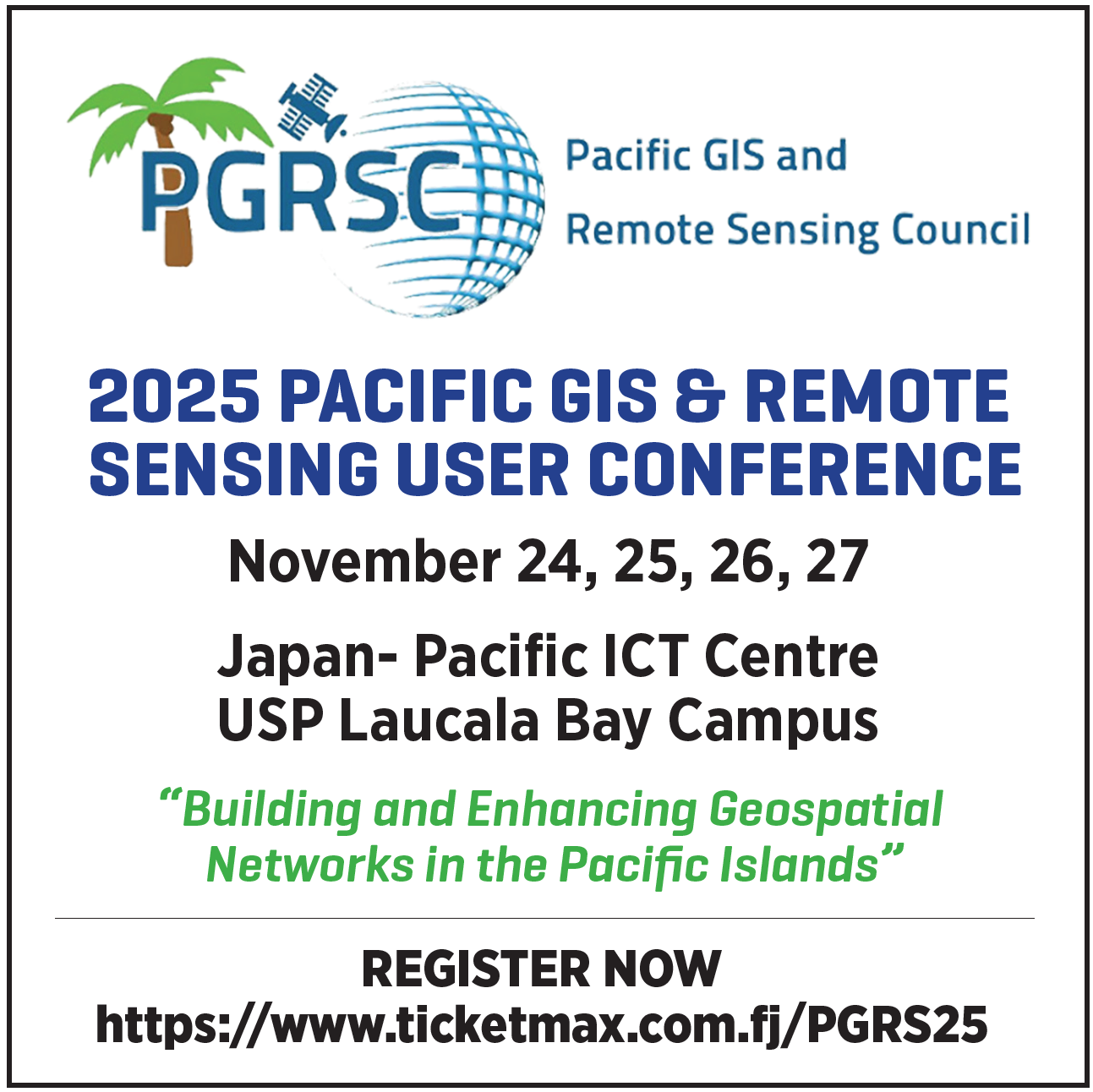
What: 𝟮𝟬𝟮𝟱 𝗣𝗮𝗰𝗶𝗳𝗶𝗰 𝗜𝘀𝗹𝗮𝗻𝗱𝘀 𝗚𝗜𝗦 𝗮𝗻𝗱 𝗥𝗲𝗺𝗼𝘁𝗲 𝗦𝗲𝗻𝘀𝗶𝗻𝗴 𝗨𝘀𝗲𝗿 𝗖𝗼𝗻𝗳𝗲𝗿𝗲𝗻𝗰𝗲Where: 𝗨𝗻𝗶𝘃𝗲𝗿𝘀𝗶𝘁𝘆 𝗼𝗳 𝘁𝗵𝗲 𝗦𝗼𝘂𝘁𝗵 𝗣𝗮𝗰𝗶𝗳𝗶𝗰, 𝗦𝘂𝘃𝗮, 𝗙𝗶𝗷𝗶When: 𝗡𝗼𝘃𝗲𝗺𝗯𝗲𝗿 𝟮𝟰 𝘁𝗼 𝟮𝟴, 𝟮𝟬𝟮𝟱Conference theme: “𝗕𝘂𝗶𝗹𝗱𝗶𝗻𝗴 𝗮𝗻𝗱 𝗘𝗻𝗵𝗮𝗻𝗰𝗶𝗻𝗴 𝗚𝗲𝗼𝘀𝗽𝗮𝘁𝗶𝗮𝗹 𝗡𝗲𝘁𝘄𝗼𝗿𝗸𝘀 𝗶𝗻 𝘁𝗵𝗲 […]
-
Platinum Sponsor

On behalf of PGRSC, we would like to extend our deepest appreciation to the Pacific Community (SPC) and the Digital Earth Pacific project for being 𝗣𝗹𝗮𝘁𝗶𝗻𝘂𝗺 𝗦𝗽𝗼𝗻𝘀𝗼𝗿𝘀 of PGRSC and […]
-
Travel Award and General Sponsor

On behalf of PGRSC, we would like to extend our deepest appreciation to Deutsche Gesellschaft für Internationale Zusammenarbeit (GIZ) GmbH for being 𝗧𝗿𝗮𝘃𝗲𝗹 𝗔𝘄𝗮𝗿𝗱 𝗮𝗻𝗱 𝗚𝗲𝗻𝗲𝗿𝗮𝗹 𝗦𝗽𝗼𝗻𝘀𝗼𝗿𝘀 of PGRSC and […]
-
Free GIS and Remote Sensing Resources Series – Week 12: Global Fishing Watch

On behalf of the Pacific GIS and Remote Sensing Council (PGRSC), we welcome you to Week 12 of our series to promote free GIS and remote sensing resources (webinars, instructional videos, technical manuals, […]
-
Free GIS and Remote Sensing Resources Series – Week 11: Copernicus ERA5 Reanalysis Dataset

On behalf of the Pacific GIS and Remote Sensing Council (PGRSC), we welcome you to Week 11 of our series to promote free GIS and remote sensing resources (webinars, instructional videos, technical manuals, […]
-
𝗔𝗯𝘀𝘁𝗿𝗮𝗰𝘁 𝗦𝘂𝗯𝗺𝗶𝘀𝘀𝗶𝗼𝗻 𝗮𝗻𝗱 𝗥𝗲𝗴𝗶𝘀𝘁𝗿𝗮𝘁𝗶𝗼𝗻 𝗗𝗲𝗮𝗱𝗹𝗶𝗻𝗲 𝗘𝘅𝘁𝗲𝗻𝗱𝗲𝗱!!!

What: 𝟮𝟬𝟮𝟱 𝗣𝗮𝗰𝗶𝗳𝗶𝗰 𝗜𝘀𝗹𝗮𝗻𝗱𝘀 𝗚𝗜𝗦 𝗮𝗻𝗱 𝗥𝗲𝗺𝗼𝘁𝗲 𝗦𝗲𝗻𝘀𝗶𝗻𝗴 𝗨𝘀𝗲𝗿 𝗖𝗼𝗻𝗳𝗲𝗿𝗲𝗻𝗰𝗲Where: 𝗨𝗻𝗶𝘃𝗲𝗿𝘀𝗶𝘁𝘆 𝗼𝗳 𝘁𝗵𝗲 𝗦𝗼𝘂𝘁𝗵 𝗣𝗮𝗰𝗶𝗳𝗶𝗰, 𝗦𝘂𝘃𝗮, 𝗙𝗶𝗷𝗶When: 𝗡𝗼𝘃𝗲𝗺𝗯𝗲𝗿 𝟮𝟰 𝘁𝗼 𝟮𝟴, 𝟮𝟬𝟮𝟱Conference theme: “𝗕𝘂𝗶𝗹𝗱𝗶𝗻𝗴 𝗮𝗻𝗱 𝗘𝗻𝗵𝗮𝗻𝗰𝗶𝗻𝗴 𝗚𝗲𝗼𝘀𝗽𝗮𝘁𝗶𝗮𝗹 𝗡𝗲𝘁𝘄𝗼𝗿𝗸𝘀 𝗶𝗻 𝘁𝗵𝗲 […]
-
Free GIS and Remote Sensing Resources Series – Week 10: Google Earth Engine Course and Tutorial from Spatial Thoughts

On behalf of the Pacific GIS and Remote Sensing Council (PGRSC), we welcome you to Week 10 of our series to promote free GIS and remote sensing resources (webinars, instructional videos, technical manuals, […]
-
Free GIS and Remote Sensing Resources Series – Week 9: Global Historical Climatology Network daily (GHCNd) temperature and precipitation data

On behalf of the Pacific GIS and Remote Sensing Council (PGRSC), we welcome you to Week 9 of our series to promote free GIS and remote sensing resources (webinars, instructional videos, technical manuals, […]
-
Free GIS and Remote Sensing Resources Series – Week 8: WorldClim weather and climate data

On behalf of the Pacific GIS and Remote Sensing Council (PGRSC), we welcome you to Week 8 of our series to promote free GIS and remote sensing resources (webinars, instructional videos, technical manuals, […]
-
Free GIS and Remote Sensing Resources Series – Week 7: PacIOOS Voyager

On behalf of the Pacific GIS and Remote Sensing Council (PGRSC), we welcome you to Week 7 of our series to promote free GIS and remote sensing resources (webinars, instructional videos, technical manuals, […]
-
Free GIS and Remote Sensing Resources Series – Week 6: GeoAI

On behalf of the Pacific GIS and Remote Sensing Council (PGRSC), we welcome you to Week 6 of our series to promote free GIS and remote sensing resources (webinars, instructional videos, technical manuals, […]
-
PGRSC Webinar Series – Geospatial data to support Early Warning and Situational Awareness in the Pacific Islands
On behalf of PGRSC, we are honored to host another webinar in our series to promote and enhance geospatial knowledge sharing and capacity building:Geospatial data to support Early Warning and […]
-
Free GIS and Remote Sensing Resources Series – Week 5: Free ESRI ArcGIS Imagery MOOC

On behalf of the Pacific GIS and Remote Sensing Council (PGRSC), we welcome you to Week 5 of our series to promote free GIS and remote sensing resources (webinars, instructional videos, technical manuals, […]
-
Free GIS and Remote Sensing Resources Series – Week 4: Advanced Use of Copernicus Browser

On behalf of the Pacific GIS and Remote Sensing Council (PGRSC), we welcome you to Week 4 of our series to promote free GIS and remote sensing resources (webinars, instructional videos, technical manuals, […]
-
Webinar Earth Observation Technologies for Climate Resilience in the Pacific
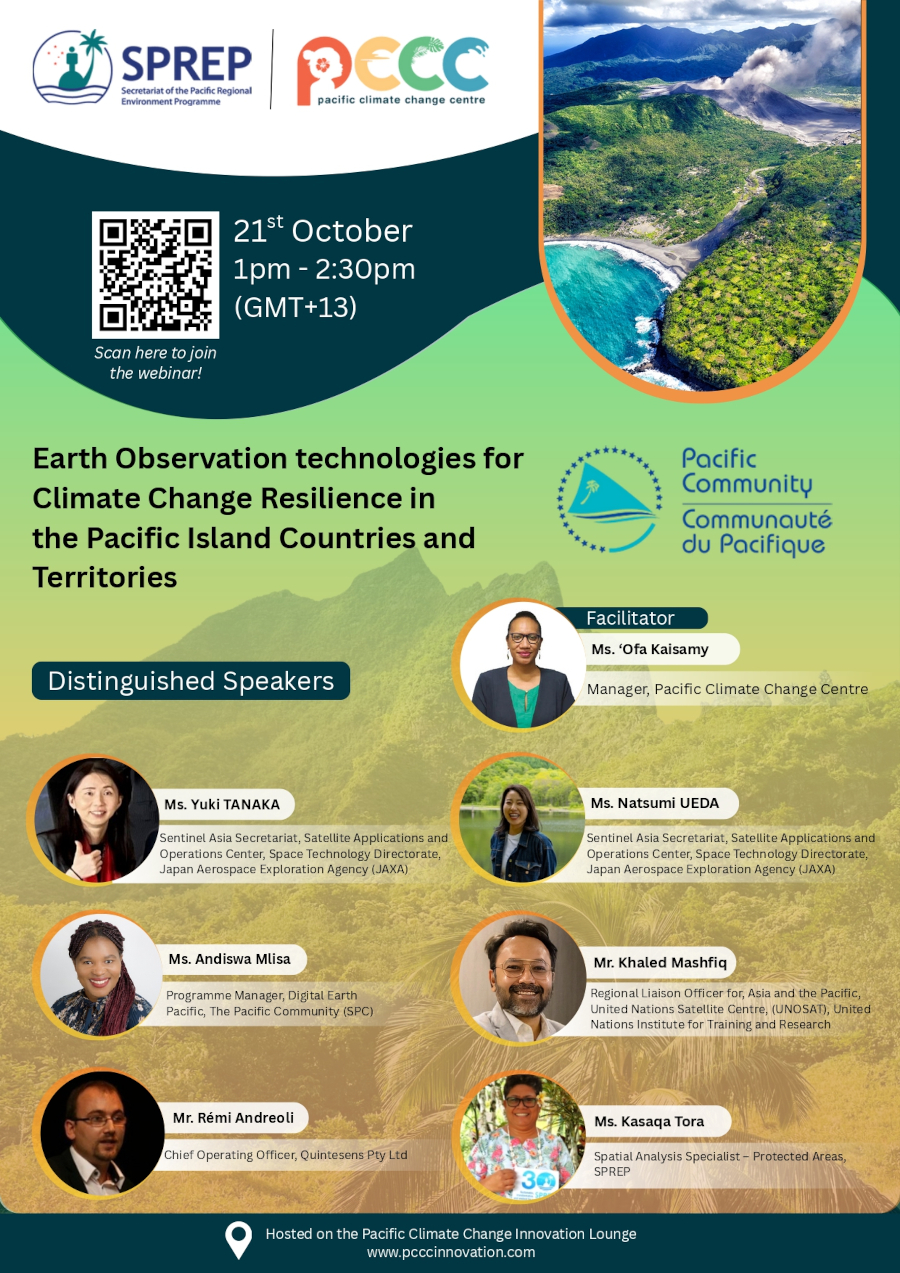
𝗧𝗶𝘁𝗹𝗲: Earth Observation Technologies for Climate Resilience in the Pacific𝗗𝗮𝘁𝗲: October 21, 2025𝗧𝗶𝗺𝗲: 13:00–14:30 Samoa Time𝗥𝗲𝗴𝗶𝘀𝘁𝗿𝗮𝘁𝗶𝗼𝗻 𝗹𝗶𝗻𝗸 : register here Organized by the 𝗣𝗮𝗰𝗶𝗳𝗶𝗰 𝗖𝗹𝗶𝗺𝗮𝘁𝗲 𝗖𝗵𝗮𝗻𝗴𝗲 𝗖𝗲𝗻𝘁𝗿𝗲, 𝗧𝗵𝗲 𝗜𝗻𝗻𝗼𝘃𝗮𝘁𝗶𝘃𝗲 𝗦𝗼𝗹𝘂𝘁𝗶𝗼𝗻𝘀 […]
-
Free GIS and Remote Sensing Resources Series – Week 3: Introduction to the Copernicus Earth Observation Data and Browser

On behalf of the Pacific GIS and Remote Sensing Council (PGRSC), we welcome you to Week 3 of our posts to promote free GIS and remote sensing resources (webinars, instructional videos, technical manuals, […]
-
A New PGRSC Member: University of French Polynesia

PGRSC is pleased to annouce a new academia member: the University of french Polynesia. A public higher education and research institution established in Tahiti since 1987, the University of French […]
-
PGRSC Webinar Series – Introduction to NOAA CoastWatch & PacIOOS: Training Course to Access and Use Data for Ocean and Coastal Applications

On behalf of PGRSC, we are honored to host another webinar in our series to promote and enhance geospatial knowledge sharing and capacity building:Introduction to NOAA CoastWatch & PacIOOS: Training […]
-
The Pacific Community and the Pacific GIS and Remote Sensing Council sign an MoU to strengthen Pacific geospatial work
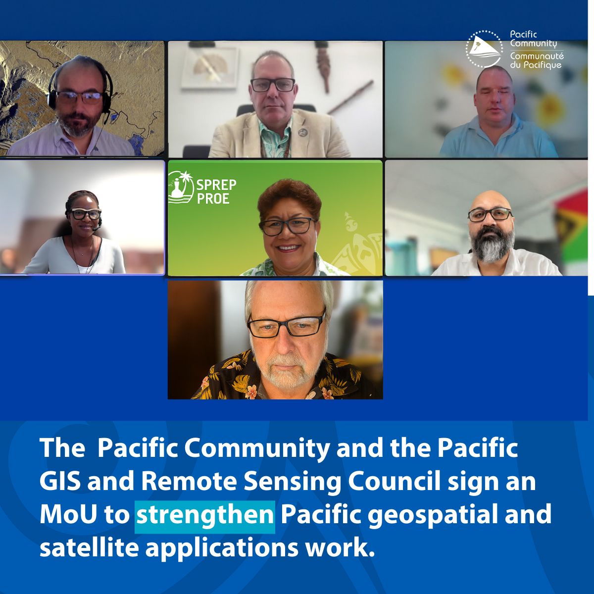
The Pacific Community (SPC) and the Pacific GIS and Remote Sensing Council (PGRSC) have signed a Memorandum of Understanding (MoU) to collaborate on outreach, training, and promotion of regional networking […]
-
Fiji Times highlights the Pacific Islands GIS & Remote Sensing Users Conference

The Fiji Times has put the spotlight on the upcoming Pacific Islands GIS and Remote Sensing Conference, with more than 300 participants expected to attend. Read the full article here: […]
-
𝐅𝐫𝐞𝐞 𝐆𝐈𝐒 𝐚𝐧𝐝 𝐑𝐞𝐦𝐨𝐭𝐞 𝐒𝐞𝐧𝐬𝐢𝐧𝐠 𝐑𝐞𝐬𝐨𝐮𝐫𝐜𝐞𝐬 𝐒𝐞𝐫𝐢𝐞𝐬: 𝐅𝐮𝐧𝐝𝐚𝐦𝐞𝐧𝐭𝐚𝐥𝐬 𝐨𝐟 𝐑𝐞𝐦𝐨𝐭𝐞 𝐒𝐞𝐧𝐬𝐢𝐧𝐠 𝐎𝐧𝐥𝐢𝐧𝐞 𝐓𝐫𝐚𝐢𝐧𝐢𝐧𝐠 𝐰𝐢𝐭𝐡 𝐂𝐞𝐫𝐭𝐢𝐟𝐢𝐜𝐚𝐭𝐞 (𝐍𝐀𝐒𝐀 𝐀𝐑𝐒𝐄𝐓)

On behalf of the Pacific GIS and Remote Sensing Council (PGRSC) This week we take a step back and look at the fundamentals of remote sensing with a 𝐬𝐞𝐥𝐟-𝐩𝐚𝐜𝐞𝐝 𝐨𝐧𝐥𝐢𝐧𝐞 […]
-
PACIFIC GIS & REMOTE SENSING COUNCIL & GEO CONNECT ASIA
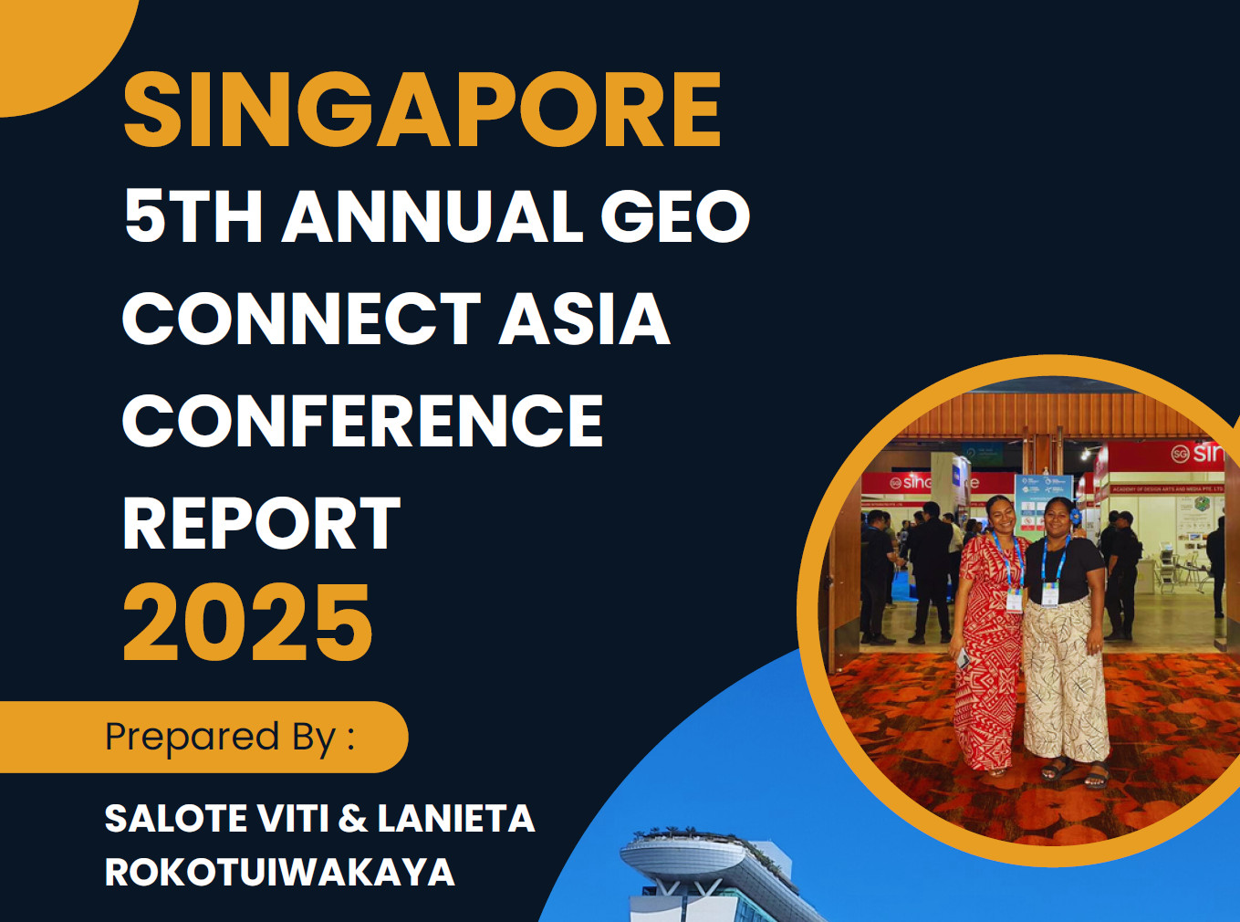
The 5th Annual Geo Connect Asia Conference was held on the 9 & 10 of April2025, marking the largest gathering to date for professionals in geospatial, remote sensing, and spatial […]
-
Free GIS and Remote Sensing Resources Series: Week 1: Synthetic Aperture Radar (SAR) (NASA ARSET)

Free GIS and Remote Sensing Resources Series: Week 1: Synthetic Aperture Radar (SAR) (NASA ARSET) On behalf of the Pacific GIS and Remote Sensing Council (PGRSC), we are pleased to announce the start […]
-
Early Bird Registration extended to the 24 September 2025

Shaping the Future of Geospatial Collaboration in the Pacific From 24–27 November 2025, Suva, Fiji will host the regional conference on “Building and Enhancing Geospatial Networks in the Pacific Islands.” […]
-
A New PGRSC Member: Fiji National University

The Fiji National University (FNU) was established in 2010 with a clear set of objectives aimed at advancing knowledge, promoting academic excellence, and contributing to the welfare of the communities […]
-
📣 Registration Now Open for the 2025 Pacific GIS & Remote Sensing Conference!

📣 Registration Now Open for the 2025 Pacific GIS & Remote Sensing Conference! We are pleased to announce that registration is now officially open for the 2025 Pacific GIS & […]
-
A New PGRSC Member: Rover Mapping
Rover Mapping (GIS and Data Consulting) is an independent geospatial consultancy based in Sydney, Australia. Rover is to wander, within the ever complex world of geospatial systems, mapping and data. […]
-
A New PGRSC Member: Pacific Sud Survey

Pacific Sud Survey is a company established in French Polynesia, dedicated to promoting innovative measurement technologies and making them accessible to as many people as possible. Specializing in hydrography and […]
-
Call for Paper !

We are pleased to announce that the abstract submission for the 2025 Pacific Islands GIS & Remote Sensing Users Conference is now open ! We are inviting proposals for paper […]
-
A New PGRSC Member: Landpro

Landpro is a multi-disciplinary consultancy firm providing, Geospatial and Aerial Surveying, Surveying, Planning and Environmental Science, and Farm Environmental Services throughout New Zealand. Founded in 2007, Landpro has grown to […]
-
Pacific Tech Village at VivaTech 2025

Last call to join the Pacific Tech delegation at VivaTech 2025! This is your final opportunity to join the Pacific Tech Village at VivaTech 2025 and become part of an innovative, […]
-
2025 Pacific Rim Geospatial Conference · March 5 & 6, 2025

Aloha,The Hawaiʻi Geographic Information Coordinating Council (HIGICC) and the Hawaiʻi Land Surveyors Association (HLSA) proudly present the 2025 Pacific Rim Geospatial Conference, which will be held on March 5-6, 2025. This […]
-
GEO WEEK – February 10-12, 2025 (Denver, Colorado, USA)

Geo Week, February 10-12, 2025 in Denver, is the learning and networking nexus of the geospatial and built worlds. It includes collocated user meetings (ASPRS, MAPPS, USIDB, WGIC) and special […]
-
Sentinel-1C launches on Vega-C
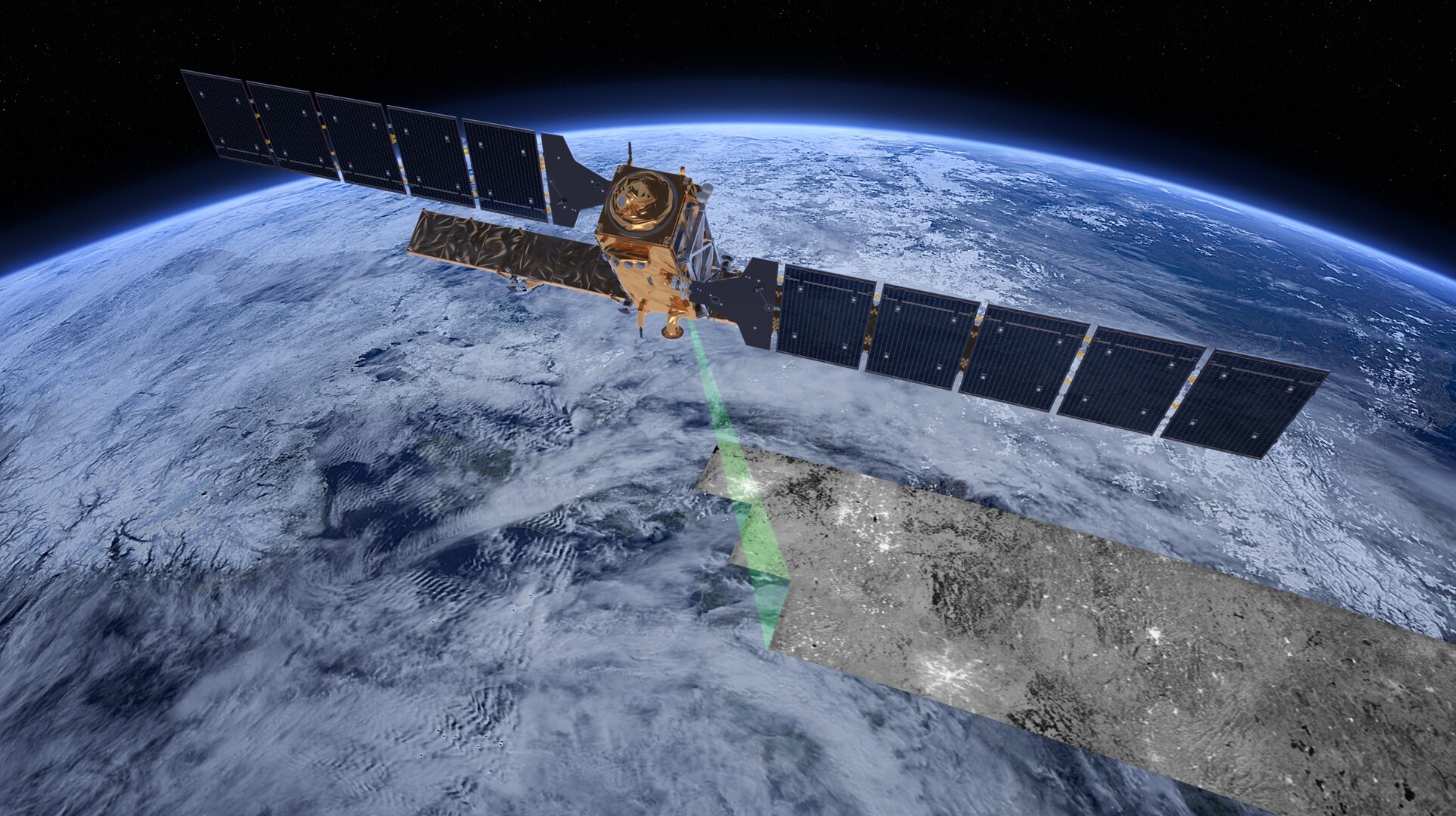
The third Copernicus Sentinel-1 satellite, Sentinel-1C, has launched aboard a Vega-C rocket, flight VV25, from Europe’s Spaceport in French Guiana. The rocket lifted off on 5 December 2024 at 22:20 CET (18:20 local time). Sentinel-1C extends the legacy of its predecessors, delivering high-resolution radar imagery to […]
-
Day 3: The 2024 Pacific Islands GIS & Remote Sensing User Conference

The focus was on the powerful synergy between GIS and drones in tackling climate change across the Pacific! Key Highlights: The message is clear: GIS and drones are indispensable tools […]
-
Day 4: Pacific GIS and Remote Sensing User Conference
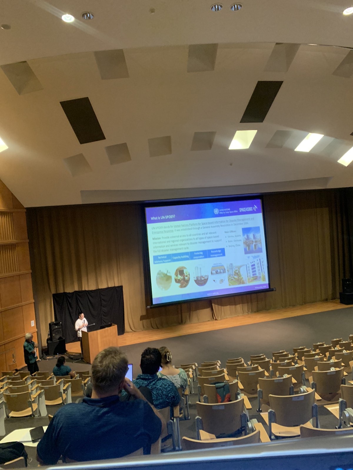
The last day of presentations for the conference are currently underway. Come down to the USP Japan ICT Lecture Theatre to enhance your knowledge of GIS and Remote Sensing applications […]
-
Day 3: The 2024 Pacific Islands GIS & Remote Sensing User Conference

As we dive into the heart of the conference, the energy and insights continue to inspire! Over the past three days, we’ve heard from amazing Pacific speakers addressing: With two […]
-
Day 2: The 2024 Pacific Islands GIS & Remote Sensing User Conference
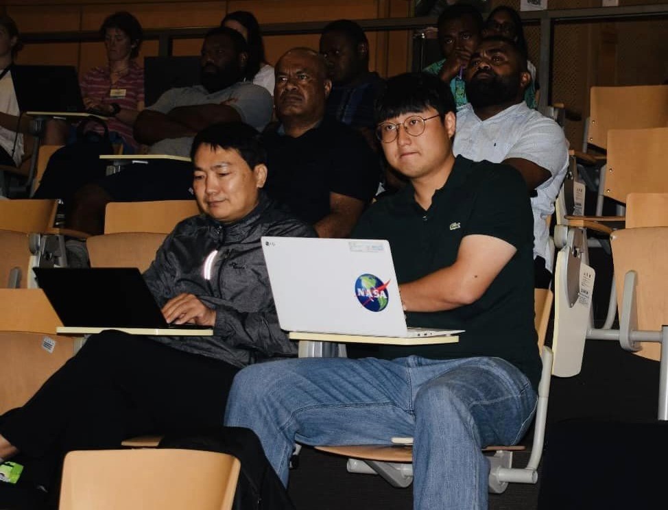
Day 2 brought incredible insights as speakers from across the Pacific region took the stage to share their expertise! From Fiji, Samoa, Tonga, Vanuatu, Papua New Guinea, and beyond, each […]
-
Women in GIS Breakfast

A Women in GIS Breakfast event took place this morning at the Grand Pacific Hotel to celebrate and appreciate the presence and immense contribution that women have done in the […]
-
Minister of Lands and Mineral Resources Speech
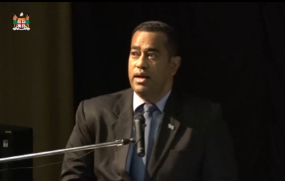
It’s an honor to share the opening speech by Fiji’s Minister for Lands and Mineral Resources, marking the start of this year’s Pacific GIS & Remote Sensing User Conference. The […]
-
Opening Cocktail

Join us for an evening of wine, inspiring discussions, and great company as we celebrate the opening of the PGRSC user conference 2024. Let’s come together, spark new ideas, and […]
-
PGRSC User Conference 2024
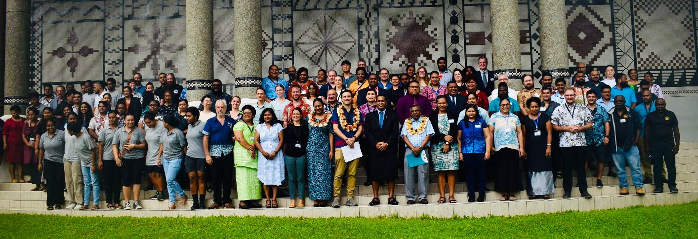
The 2024 Pacific Islands GIS & Remote Sensing User Conference opens at USP, Japan ICT, Suva, bringing together experts to explore GIS and remote sensing innovations for the Pacific. The […]
-
PGRSC User Conference 2024 Chief Guests

PGRSC User Conference 2024 is officially opened by Chief Guest Minister for Lands and Mineral Resources, Hon. Filimoni Vosarogo.
-
A New PGRSC Member: J2!

PGRSC is pleased to welcome J2 as a new member! J2 is the social enterprise of Disaster Relief Australia. We deliver socially responsible, professional geospatial and disaster intelligence services to government, industry and community. We empower […]
-
A New PGRSC Member: MAMMOTH GEOSPATIAL

PGRSC is pleased to welcome MAMMOTH GEOSPATIAL as a new member! Mammoth Geospatial, based in Perth, Western Australia, specialises in open-source geospatial solutions including QGIS, GeoNode, PostGIS, and Mergin Maps. […]
-
A New PGRSC Member: SKAND

PGRSC is pleased to welcome a New Member: SKAND! Skand is an Australian based Digital Twin platform, designed and built to enable spatial data visualisation, management and analysis. The Skand product is widely used by […]
-
2024 Pacific Islands GIS and Remote Sensing Users Conference In One Week!!!
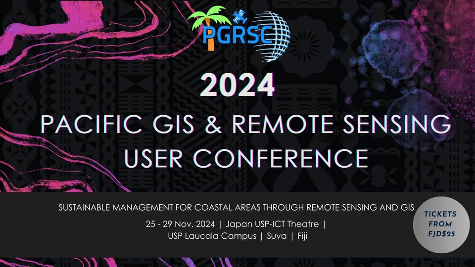
We are currently one week away from the start of the 2024 Pacific Islands GIS and Remote Sensing Users Conference in Suva, Fiji from November 25-29, 2024!!! We wanted to […]
-
A New PGRSC Member: NDRMO, Government of Tonga!

PGRSC is pleased to welcome a new member: Tonga National Disaster risk Management Office! The National Disaster Risk Management Office (NDRMO) was established under the Emergency Management Act 2007, initially […]
-
Presentation submission for the 2024 Pacific Islands GIS & RS User Conference closes today!

Yous still have a couple of hours to submit your paper presentations in the following thematic area: “Sustainable Management of Coastal Areas Through Remote Sensing & GIS” To submit your […]
-
A New PGRSC Member: NASA!

United States of America National Aeronautics and Space Administration (NASA) is proud to collaborate with PGRSC For the benfits of Pacific Island communities in the use of remote sensing to […]
-
A new PGRSC Member: The Land Transport Authority (LTA) of Fiji
The Land Transport Authority (LTA) of Fiji, established under the Land Transport Act 1998, is responsible for economic regulation, service delivery, enforcement, and road safety. The LTA was formed to […]
-
Still 7 days to submit your presentation for for the 2024 Pacific Islands GIS & RS User Conference

We are inviting proposals for paper presentations in the following thematic area: “Sustainable Management of Coastal Areas Through Remote Sensing & GIS” To submit your abstract, you must log into […]
-
Presentation submission for for the 2024 Pacific Islands GIS & RS User Conference close in 15 days!

We are inviting proposals for paper presentations in the following thematic area: “Sustainable Management of Coastal Areas Through Remote Sensing & GIS” To submit your abstract, you must log into […]
-
A picture is worth a thousand words!

Have you registered yet for the 2024 Pacific Island GIS&RS Users Conference? If the answer is no, registration is here! We’re looking to see you next month!
-
NOAA CoastWatch & PacIOOS Workshop at Pacific Islands GIS & RS Users Conference
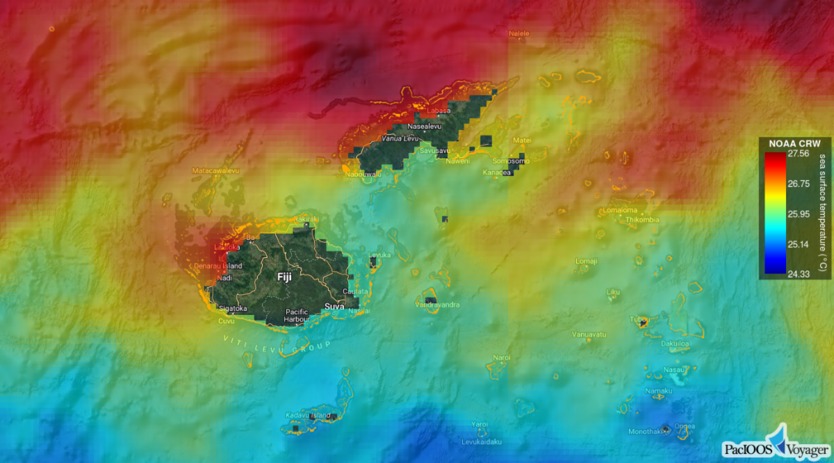
As a follow-up to the webinar held on September 6, 2024: NOAA CoastWatch and PacIOOS will be hosting a free workshop at the Pacific Islands GIS & Remote Sensing (RS) […]
-
Extended deadline for abstract submission!
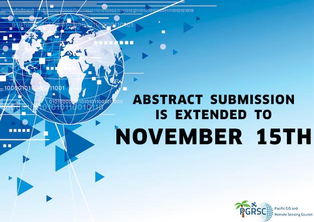
We would like to inform you that the deadline for submitting abstracts for the 2024 Pacific Islands GIS&RS Users conference, originally scheduled for 30 September 2024, has been extended due to a high […]
-
Spell Your Name in LandSat Imagery
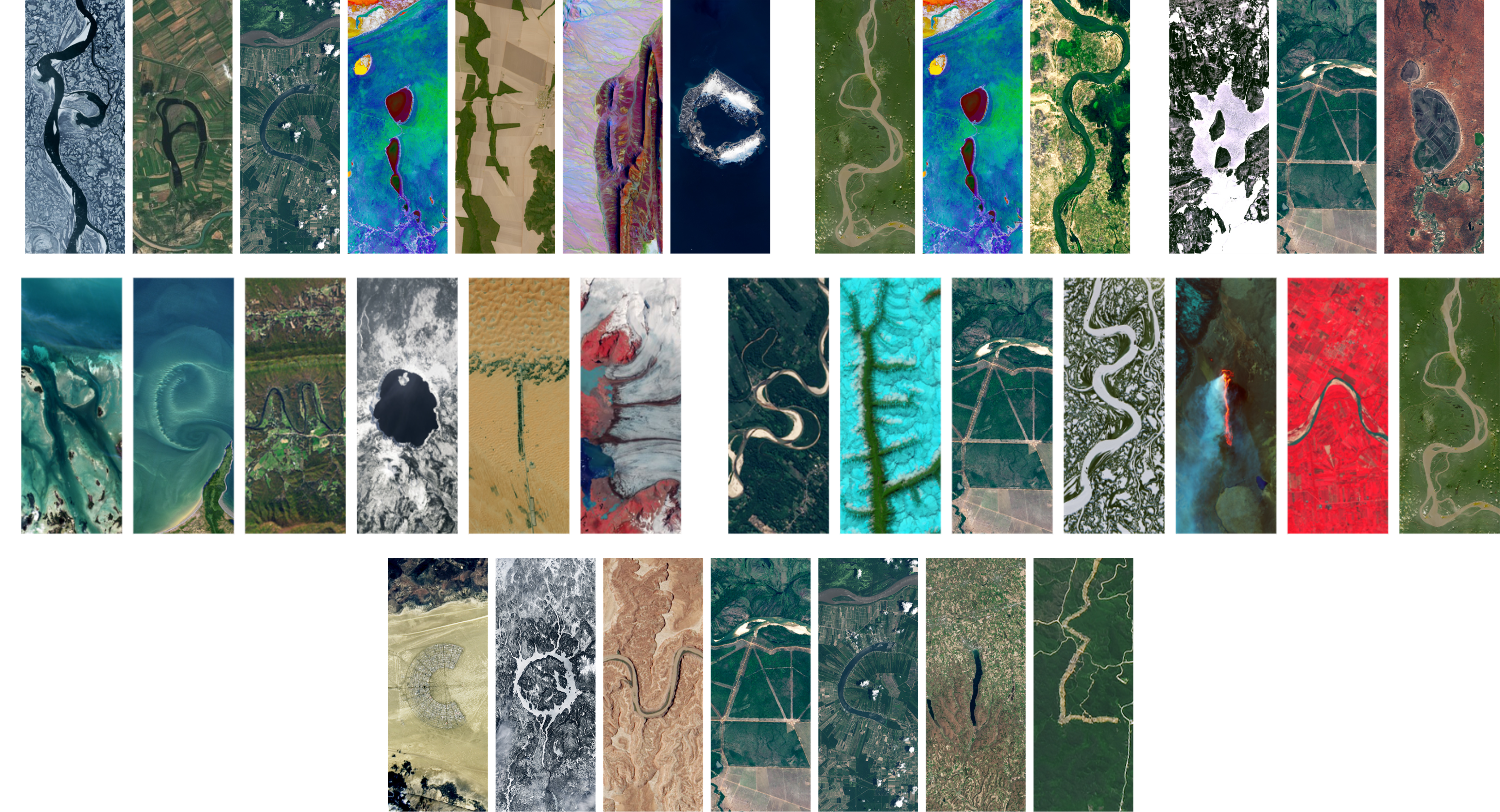
Have you ever wondered what your name looks like from outer space?…… NASA has a website where you can enter a name and see it spelled out using real LandSat […]
-
You didn’t registered yet for the 2024 Pacific Islands GIS & RS User Conference? It’s time to register!
The Pacific Islands GIS & RS User Conference is well-known for its four days of presentations highlighting results and achievements in GIS and Remote Sensing in the Pacific Region. But […]
-
Still time to submit your presentation for the 2024 Pacific Islands GIS & RS User Conference

We are inviting proposals for paper presentations in the following thematic area: “Sustainable Management of Coastal Areas Through Remote Sensing & GIS” To submit your abstract, you must log into […]
-
Sentinel-2C joins the Copernicus family in orbit
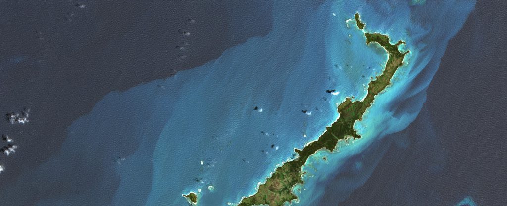
The third Copernicus Sentinel-2 satellite launched today aboard the final Vega rocket from Europe’s Spaceport in French Guiana. Sentinel-2C will continue providing high-resolution data that is essential to Copernicus – […]
-
A New PGRSC Member: PacIOOS!

PGRSC is pleased to welcome an new member: Pacific Islands Ocean Observing System PacIOOS empowers ocean users and stakeholders in the Pacific Islands by providing accurate and reliable coastal and […]
-
Webinar: Sept. 6, 2024 at 11:00 a.m. (Fiji) – Introduction to NOAA CoastWatch & PacIOOS: Training Course to Access and Use Data for Ocean and Coastal Applications
Please join the National Oceanic and Atmospheric Administration (NOAA) CoastWatch and Pacific Islands Ocean Observing System (PacIOOS) on Friday, September 6, 2024 at 11:00 a.m. (Fiji time) as both organisations […]
-
Sentinel-2C fully loaded
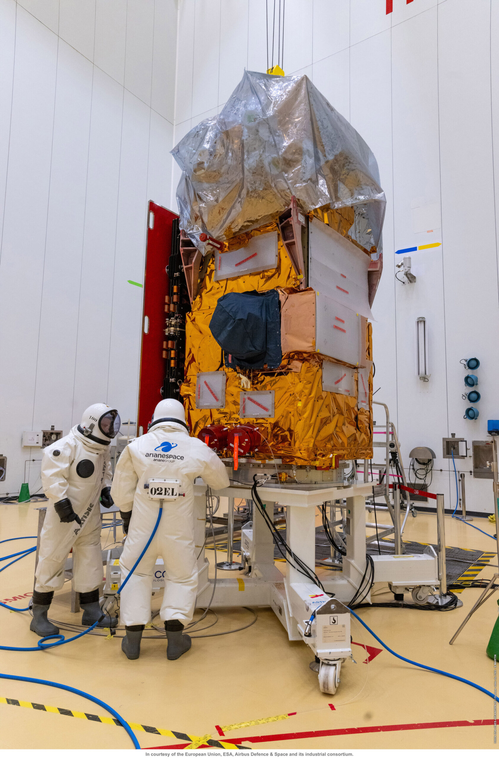
With liftoff set for 4 September from Europe’s Spaceport in French Guiana, the Copernicus Sentinel-2C satellite is now fully loaded with 133 kg of hydrazine and the tank pressurised with […]
-
NASA to Host Free 3-part Webinar on Invasive Species Monitoring
NASA’s Applied Remote Sensing Training Program (ARSET) is hosting a free 3-part online webinar on how to use NASA Earth Science data for invasive species monitoring. Info: https://appliedsciences.nasa.gov/get-involved/training/english/arset-invasive-species-monitoring-remote-sensing When? Invasive […]
-
A New PGRSC Member: BAE-Ecospatial!

PGRSC is pleased to welcome BAE-Ecospatial as new member! Utilizing a unique combination of ecological modeling and spatial analysis, BAE-Ecospatial is developing science-based tools and workflows to inform and improve natural resource […]
-
Call for Paper !

We are pleased to announce that the abstract submission for the 2024 Pacific Islands GIS & Remote Sensing Users Conference is now open ! We are inviting proposals for paper […]
-
Registration is now open!
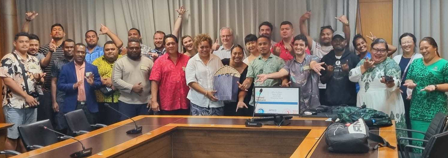
Registration for the 2024 PACIFIC GIS & REMOTE SENSING USER CONFERENCE is now open! Join us at this year’s 2024 Pacific GIS & Remote Sensing User Conference as we gather […]
-
Announcing the Pacific GIS and Remote Sensing Council (PGRSC) Conference Committee for 2024!

We are excited to introduce the dedicated members of the Pacific GIS and Remote Sensing Council (PGRSC) Conference Committee for 2024. This accomplished group of professionals is committed to advancing […]
-
MAXAR successfully launched two WorldView Legion satellites
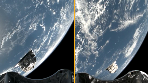
Maxar Intelligence, provider of secure, precise geospatial intelligence, today confirmed the first two WorldView Legion satellites are performing well after being launched on a SpaceX Falcon 9 rocket earlier today […]
-
PGRSC 2023 Annual Report Available
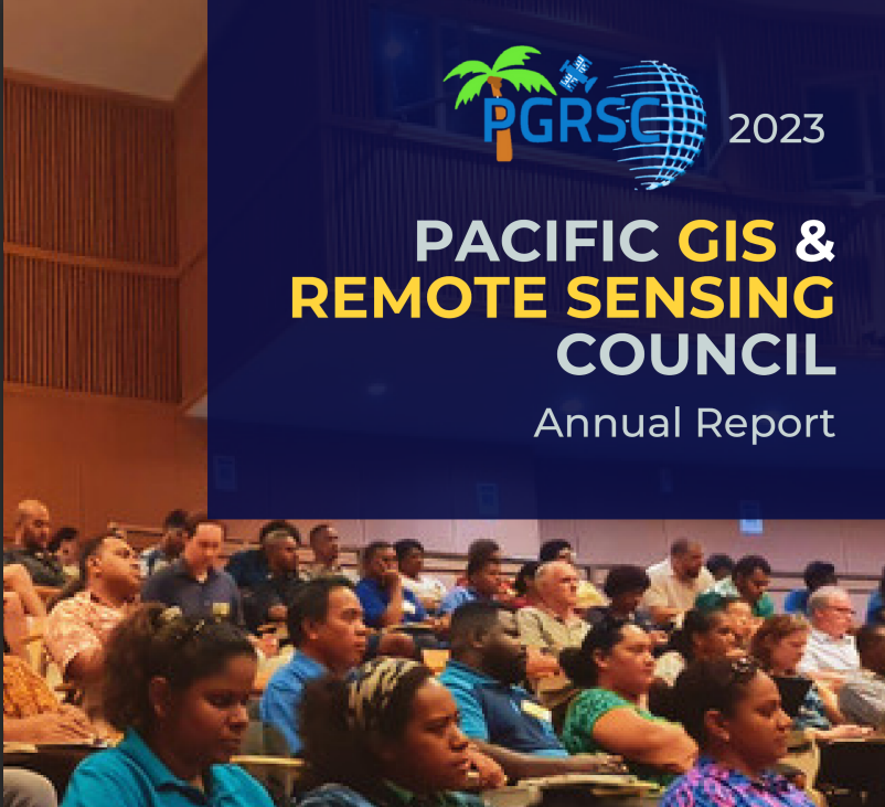
The PGRSC 2023 Annual report is now availalbe in the Ressources / Media1 section of the website. The document reports on PGRSC’s activities during the past year and the progress […]
-
Free Remote Sensing Course from NOAA
The National Oceanic and Atmospheric Administration is offering a free course to familiarize participants with different types of ocean satellite data, different tools, and teach participants how to use satellite […]
-
2023 Conference highlights are now available
The highlights from the 2023 Pacific Islands GIS&RS Users Conference is now available on the website! 2023 Conference hightlights Thanks to all the participants and presenters that make this year […]
-
International Women’s Day 2024
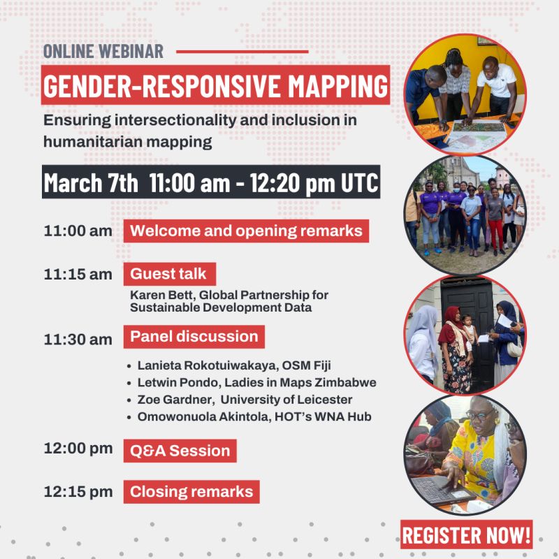
International Women’s Day 2024 celebrates the power of women in GIS & remote sensing, illuminating their invaluable contributions to mapping the world and shaping a more inclusive and sustainable future. […]
-
2023 Pacific Islands GIS&RS User Conference presentations now available!

The presentations from the 2023 Pacific Islands GIS&RS SUer Conference are now available. You can access them in the Resources / Past Conference Resources section of the website!
-
New PGRSC Institutional Member : ICI (Cook Islands)

PGRSC is pleased to welcome The Ministry of Infrastructure of Cook Islands as new member! Infrastructure Cook Islands (ICI) is responsible for much of the delivery of infrastructure policy and […]
-
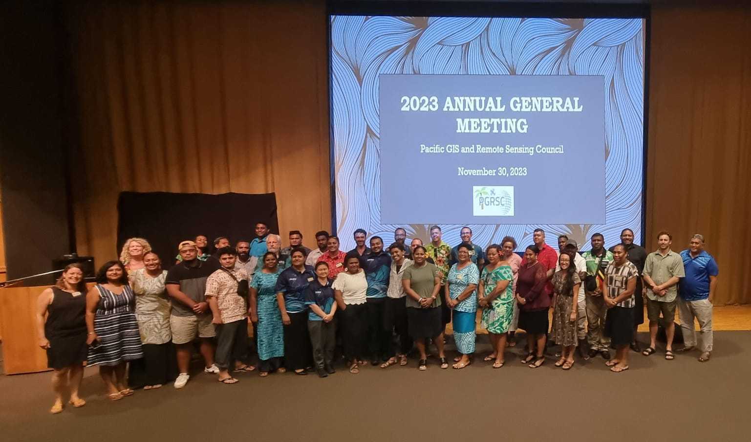
Annual General Meeting – Pacific Islands GIS & Remote Sensing Council 2023
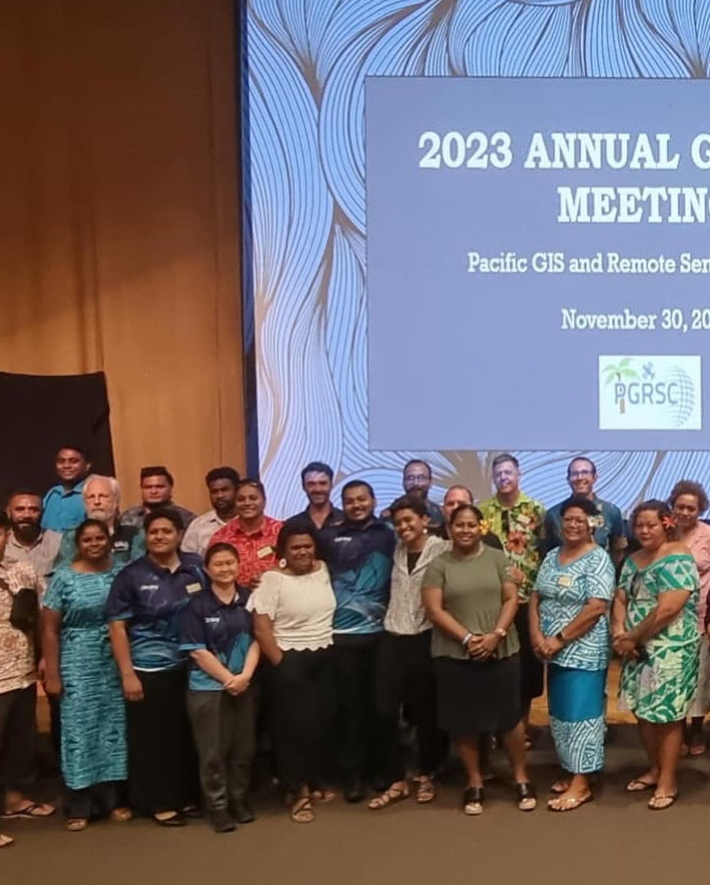
🌐 Reflecting on a Successful Annual General Meeting – Pacific Islands GIS & Remote Sensing Council 2023 🌐 With gratitude, we look back on the Annual General Meeting that marked […]
-
PGRSC Focal Point 🌐
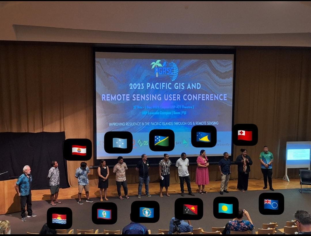
Appreciation to the Pacific GIS and Remote Sensing Council (#PGRSC) Focal Point 🌐 A sincere thank you to the dedicated members of the Pacific GIS and Remote Sensing Council (PGRSC) […]
-
Check the Workshop Schedule and location!
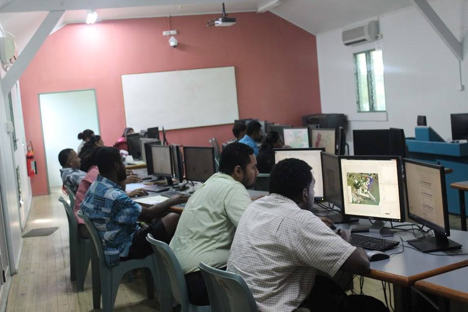
Please find below the schedule and location of the Workshop held the 1st December 2023.
-
PGRSC Pub Crawl 2023

Join us this afternoon for night pub hopping in the city of Suva at 7pm.
-
Poll: Would you attend “URISA’s GIS Leadership Academy” 5-Day Training Program in Hawaii in 2025?

Have you heard about URISA’s GIS Leadership Academy? It’s a 5-day training program that covers topics like GIS strategic planning, organizational capacity, change management, team-building, etc. It is presented 2-3 times […]
-
Kava Kiki Night 2023

Engaging with fellow professionals at #PGRSC Conference, fostering connections to sustain our vibrant community! Tonight’s Kava Kiki was a fantastic experience. Grateful for the enriching conversations and connections. #networkingsuccess #PGISRS […]
-
Conference Annoucements
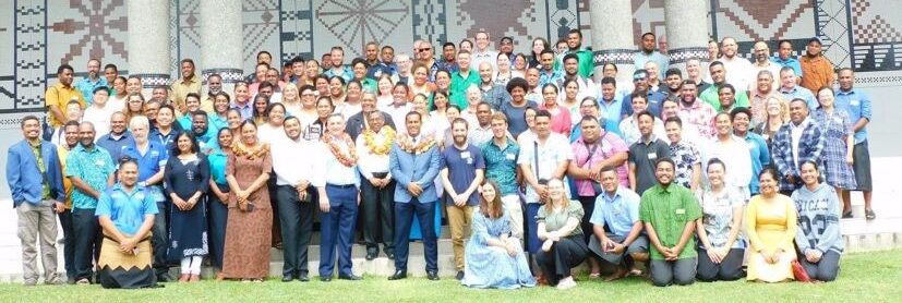
Follow conference annoucements and news directly on Whatsapp here : https://chat.whatsapp.com/FuRtex4kSpX50KhNkl3E0h Stay connected!
-
2023 Pacific Islands GIS&RS Users conference Opening
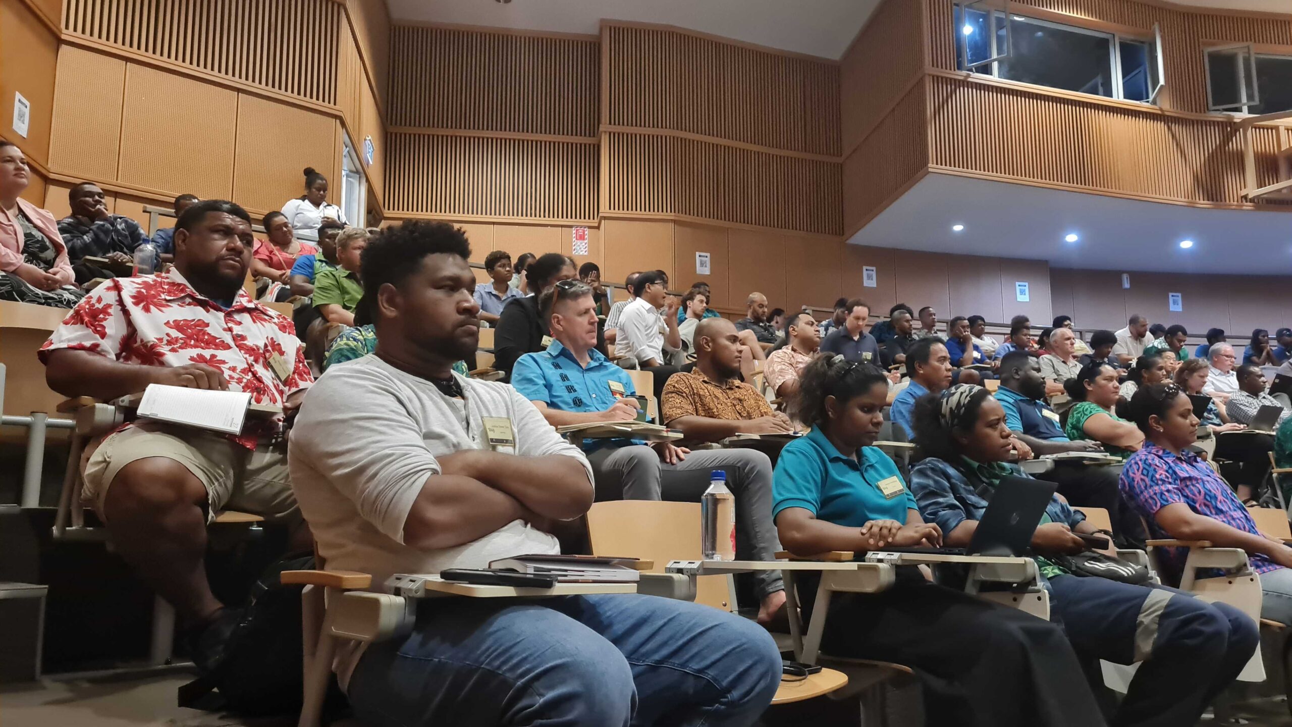
Chief guest Honorable Minister for Lands and Mineral Resources Filimone Vosarogo opened today the 2023 Pacific Islands GIS&RS Users conference with the words: “Let’s progress together through GIS.” More than […]
-
1 Day to Go!
📌Network, Learn, and Ignite Partnerships in the Heart of Cutting-Edge Technology -Don’t Miss Out on This Year’s Unparalleled Gathering of Pacific Visionaries! ⏰Register now to avoid disappointments: https://lnkd.in/gS96GXyB
-
Only 2 days left!

⏰ Only 2 days left! ⚡️ Don’t miss out on the Pacific GIS and Remote Sensing Conference. 🌐 If you haven’t registered yet, secure your spot now for a deep […]
-
Join us on Thursday,November 30th at 9 am for a Women’s Session at the Pacific GIS and Remote Sensing Conference

📢 Exciting News! Join us on Thursday,November 30th at 9 am for a Women’s Session at the Pacific GIS and Remote Sensing Conference. 🌺 Our keynote speaker from iTaukei Women […]
-
Only 5 days until the conference – Conference Program is online
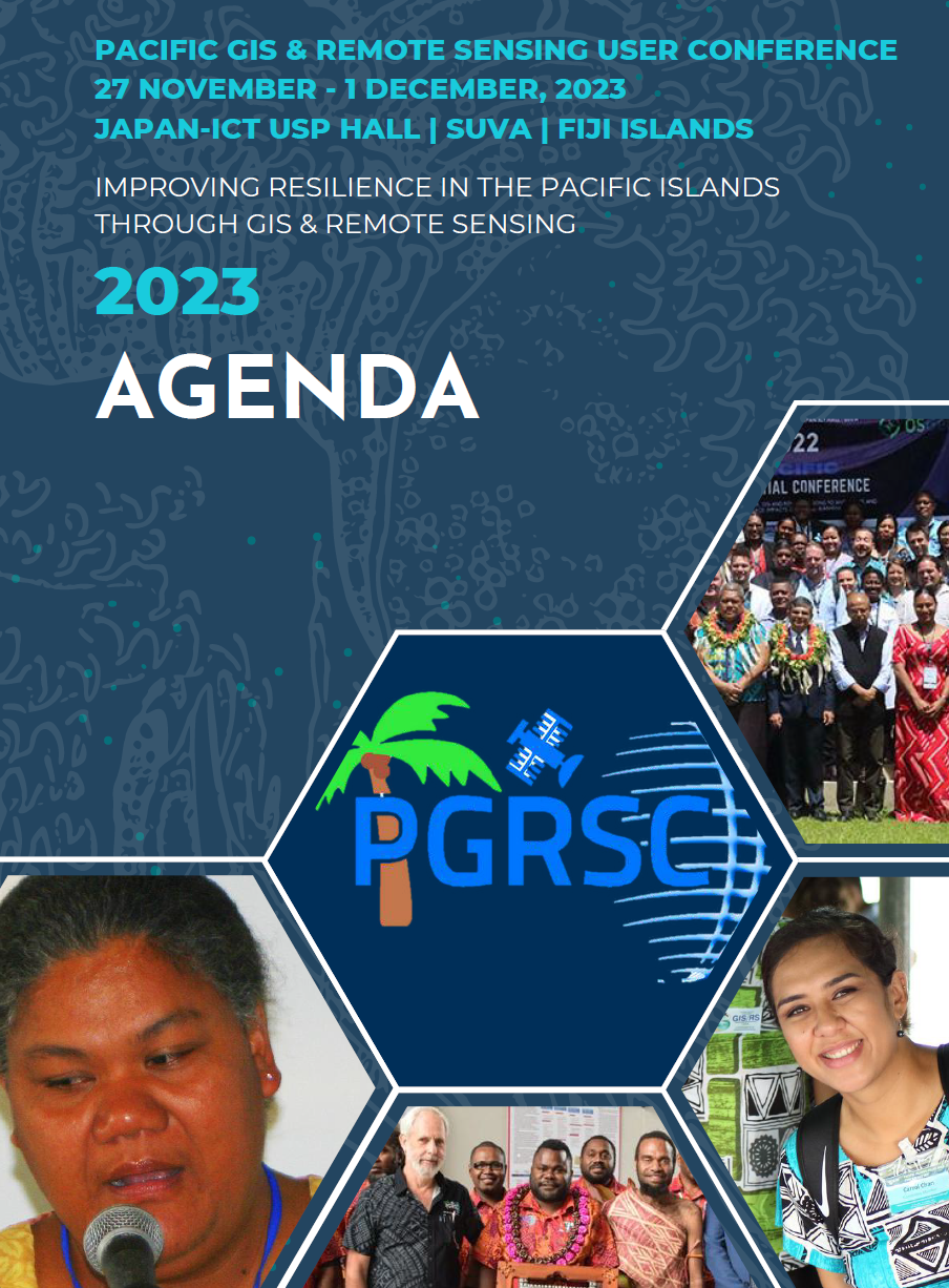
Only 5 days until the opening of the 2023 Conference, the detailed conference program has been published here. The program will be updated regularly until the conference opening to facilitate […]
-
The Biosecurity Authority of Fiji (BAF) is now a member of the Pacific GIS and Remote Sensing Council (PGRSC)The Biosecurity Authority of Fiji

The Biosecurity Authority of Fiji (BAF) was established under the Biosecurity Act of December 2008. It is a Public Enterprise under the Public Enterprise Act 2019. Biosecurity Authority of Fiji […]
-
Only 10 days until the conference – Speakers must check presentations guidelines
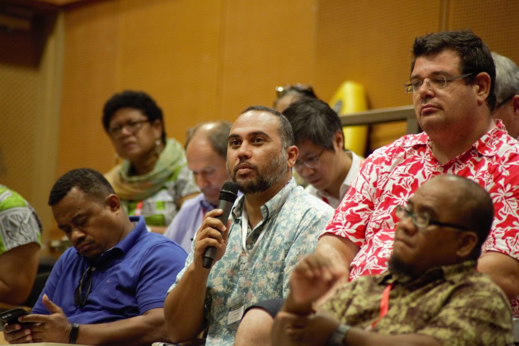
Only 10 days until the opening of the 2023 Conference, it’s time to prepare your venue and for speakers to cook amazing presentations. Please visit our Speakers and Presentations guidelines […]


