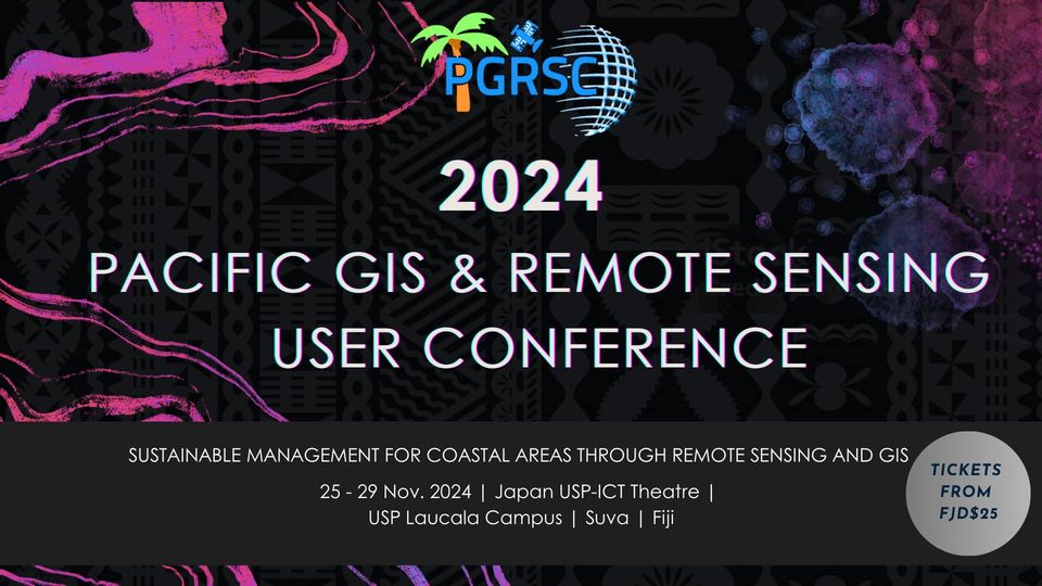
We are currently one week away from the start of the 2024 Pacific Islands GIS and Remote Sensing Users Conference in Suva, Fiji from November 25-29, 2024!!! We wanted to provide an update on what attendees can expect. The agenda, program, and downloadable conference proceedings (with presentation abstracts) can be found at:
https://pgrsc.org/conference-program/
If you haven’t registered, please do so at:
Venue:
The conference will take place at the Japan-Pacific ICT Centre, University of the South Pacific, Suva Fiji
https://maps.app.goo.gl/aRp6947QCavAuT6h7
Attire: Casual.
What to Expect:
We currently have over 60 presentations, a Women’s Session, six panel discussions, five workshops, and multiple social events. The PGRSC Annual General Meeting (AGM) will also be held on Wednesday November 27, 2024 at 5:00 pm (Fiji time) and can also be accessed via Zoom at: https://us06web.zoom.us/meeting/register/tZ0pce6sqj4iHNLra9G3fyKmSAVxjVsaJ2X5
The AGM is a chance for PGRSC Members to see the hard work that we have accomplished in the last year, the exciting news that is to come in 2025, and is an opportunity to voice your vote as a PGRSC Member. This event is only open to PGRSC Members but membership is free and open to anyone in the Pacific Islands region:
Panel Discussions:
This year we will have six panel discussions centered on the following topics:
1) Building Own Space Agency – discussion on building a space agency for the Pacific.
2) Sustainable Management for Coastal Areas – discussion of what data are needed for coastal area management and which data are available.
3) Embarrassing Geospatial Questions – ever have a geospatial question that you were afraid to ask? Here’s your chance to ask anonymously using the link below and we will answer them:
https://app.sli.do/event/7XFGUkn2JzanzhS6UzbtWK
4) UAV or Satellite Image Data? – discussion on which imagery source is best for geospatial applications.
5) Focal Point Updates and Data/Capacity Needs for the Pacific Islands – a chance for focal points to provide country updates and identify data needs and gaps
6) Data needs for Disaster Management – discussion for what data are needed for disaster management in the Pacific.
Workshops:
We will have workshops provided by NOAA CoastWatch and PacIOOS, NASA (tentative), GIZ, OSGeo Oceania and QGIS, and ERDAS and Hexagon. The registration for the NOAA CoastWatch and PacIOOS workshop can be found here:
https://lp.constantcontactpages.com/ev/reg/w28fcr4/lp/6d7fffe6-97b2-47fe-96e1-63f07a170611
All other workshop registrations will require sign up at the conference registration desk in the lobby of the venue.
Social Events:
Monday: Opening Cocktail
Tuesday: Talanoa Session, Kava & Music
Wednesday: Pub Crawl – Through the Fiji Night Clubs
Thursday: Closing Cocktail
Saturday: Sandbank Picnic – a day of refreshments on a deserted island in the Pacific.
A Few Reminders:
Water dispensers will be set up at the venue and we kindly request that you bring your water bottles to help reduce waste.
Lunch is provided with a conference ticket.
There is a poster competition and entries can be submitted here:
https://forms.gle/eU7UKLjXQuyheDz89
Follow us on our social media pages and hashtags #PGRSC #PGRSC2024 #GIS #PacificIslands
https://www.linkedin.com/company/pgrsc/
https://www.facebook.com/PacGISnRSCouncil/
We also expect the following government agencies and organisations to be present at this year’s conference:
British High Commission Singapore
County of Kauai Planning Department – Hawai’i
European Union Delegation – Copernicus
Indonesian National Research & Innovation Agency
Kiribati Ministry of Fisheries and Marine Resource Development (MFMRD)
Kiribati Ministry of Environment, Lands and Agricultural Development
Korea Marine Security and Safety Research Center, Korea Institute of Ocean Science
Nauru National Disaster Risk Management Office
Northern Mariana Islands Division of Fish and Wildlife
Palau Automated Land and Resource Information System Office (PALARIS)
Papua New Guinea National Capital District Commission
Samoa GIS & RS User Group
Samoa Spatial Information Agency and Ministry of Lands
Solomon Islands National Disaster Risk Management Office
Solomon Islands UNITAR-UNOSAT Office
Tonga National Disaster Risk Management Organisation
Tonga Lands and Geospatial Information Systems
Tuvalu Department of Lands
Vanuatu National Disaster Management Office
DataTerra
Drone Services Fiji
Fiji Pine
Deutsche Gesellschaft für Internationale Zusammenarbeit GmbH (GIZ)
The Hong Kong Polytechnic University
French National Research Institute for Sustainable Development (IRD) – UMR Mediterranean Institute of Oceanography
Island Conservation
J2 Geospatial Intelligence Services
Kahuto Pacific
LandPro Limited
National Aeronautics and Space Administration of the United States (NASA)
Neha Naidu GIS and Data Analyst International Vaccine Institute
National Institute of Water and Atmospheric Research (NIWA)
National Oceanic and Atmospheric Administration (NOAA) CoastWatch
Open Source Geospatial Foundation (OSGeo) Oceania
OSGeo Pasifika
Pacific Islands Ocean Observing System (PacIOOS)
PLACE
Rover Mapping
Solomon Islands National University
The Secretariat of the Pacific Regional Environment Programme (SPREP)
The Energy and Resources Institute (TERI), India
The Pacific Community (SPC)
United Nations Office for Outer Space Affairs (UNOOSA)
United Nations Platform for Space-based Information for Disaster Management and Emergency Response (UN-SPIDER)
United Nations Institute for Training and Research (UNITAR)
University of Fiji
University of French Polynesia
University of the South Pacific
And many more…
We look forward to seeing you at the conference next week!

