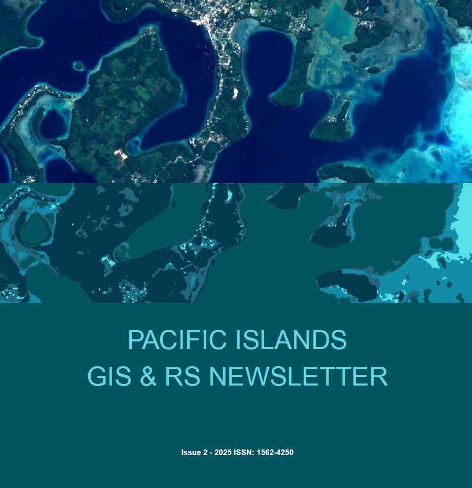
We’re excited to share the newest issue of the Pacific Islands GIS & Remote Sensing Newsletter — now available!
In this edition, we spotlight a major step forward for the Pacific geospatial community: a new Memorandum of Understanding between the Pacific Community (SPC) and the Pacific GIS & Remote Sensing Council (PGRSC). This partnership strengthens outreach, training, and regional coordination to ensure that satellite and geospatial technologies better support informed decision-making across the Pacific.
The newsletter features updates on practical data innovations, audience-friendly insights on how geospatial tools shape everyday life, and upcoming opportunities for learning and collaboration — from national focal point engagement to regional workshops and webinars.
As PGRSC Chair Bradley Eichelberger notes, this collaboration represents a shared commitment to expanding geospatial and earth observation capacity across Pacific Island countries and to building resilient, well-informed communities.
Dive into the full issue and discover how our region continues to advance, connect, and innovate through GIS and remote sensing.
Inside this issue:
- Why Maps Matter: Cartography and Its Relevance for the Pacific Region
- Mapping Blue Carbon Ecosystems for a Sustainable Pacific
- Geo Connect Asia 2025: Advancing GIS and Remote Sensing in The Pacific
- Space-Based Observations for Our Pacific Islands
- Inventory of Common Bamboo in Naitasiri
📥 Download it now at: https://pgrsc.org/newsletter
✍️ Want to be featured in the next issue?
We welcome contributions from GIS & RS professionals, students, and institutions across the Pacific. If you’ve got a project, experience, or idea to share, read our contributor call to action here and connect with our editorial team.
Let’s continue building a stronger, more connected geospatial community in the Pacific! 🌏

