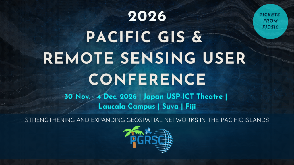
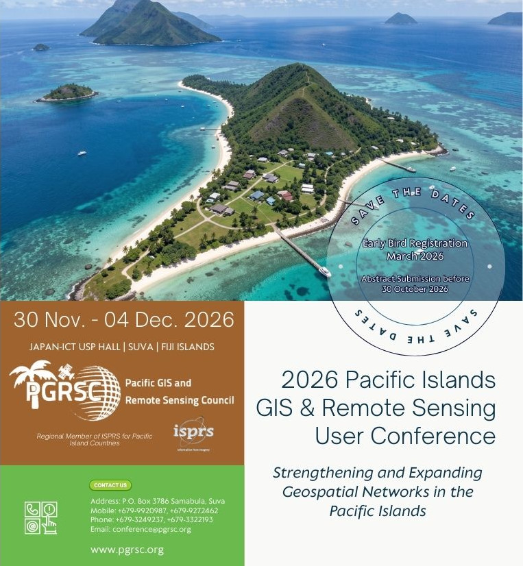
2026 Pacific Islands GIS & Remote Sensing User Conference
The theme of the 2026 Pacific Islands GIS & Remote Sensing User Conference is:
Strengthening and Expanding Geospatial Networks in the Pacific Islands
Join us for an exciting conference on Strengthening and Expanding Geospatial Networks in the Pacific Islands, where experts, practitioners, and policymakers will explore cutting-edge geospatial technologies and collaborations. This event offers a unique platform to share knowledge, strengthen regional partnerships, and drive innovation in mapping, remote sensing, and spatial data infrastructure. Don’t miss this opportunity to connect with leaders shaping the future of geospatial networks in the Pacific!
Registration
Abstract submission

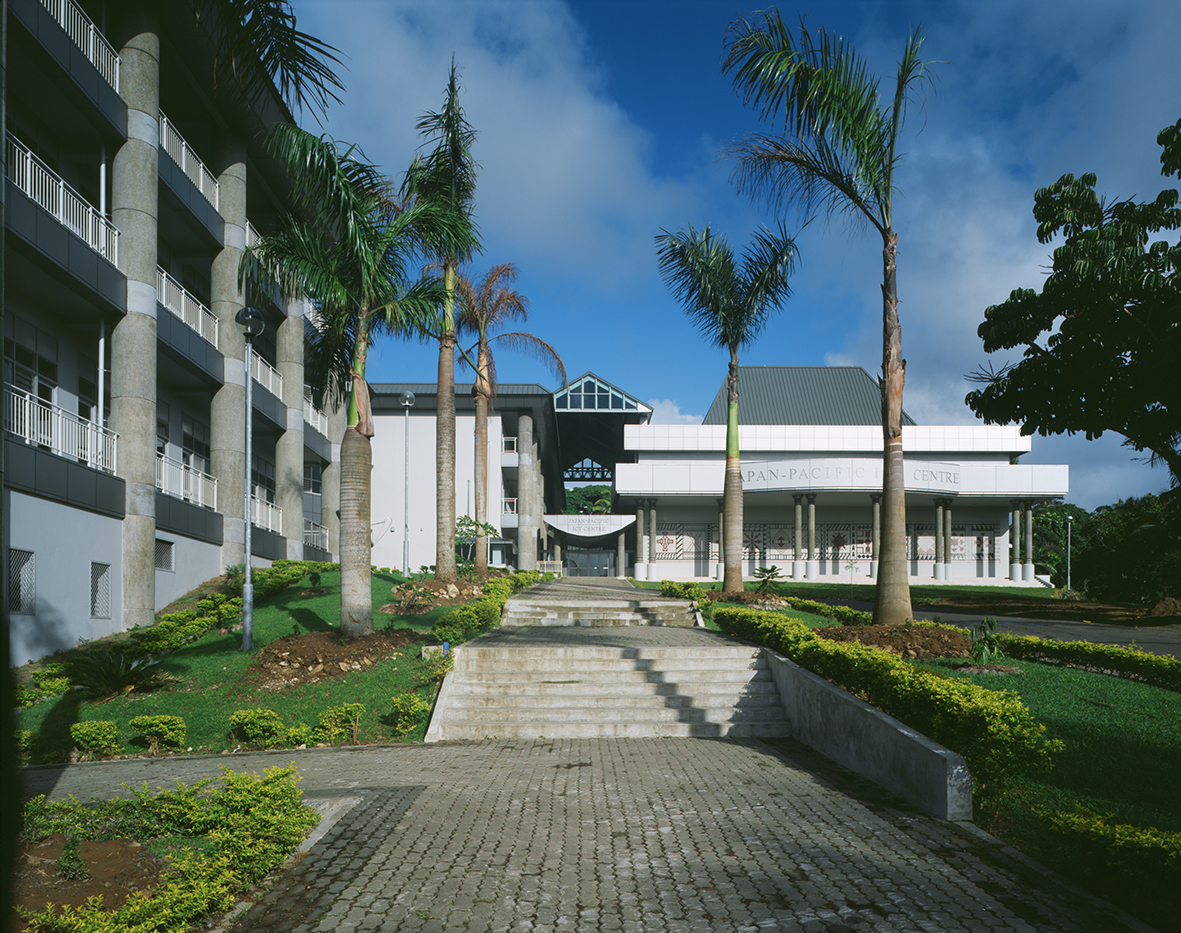
Venue
Sponsorships
Bringing together experts from across the Pacific and the rest of the world since 1998.
Our journey began in 1998 when the University of the South Pacific and the Fiji Lands Department jointly held the first two-day National GIS Conference in Suva. This gained momentum and wider interest with the uptake of these technologies across our developing Pacific landscape and lead to the establishment of what became the Pacific Islands GIS & Remote Sensing User Conference in 2004 catering to the growing interest across the region.
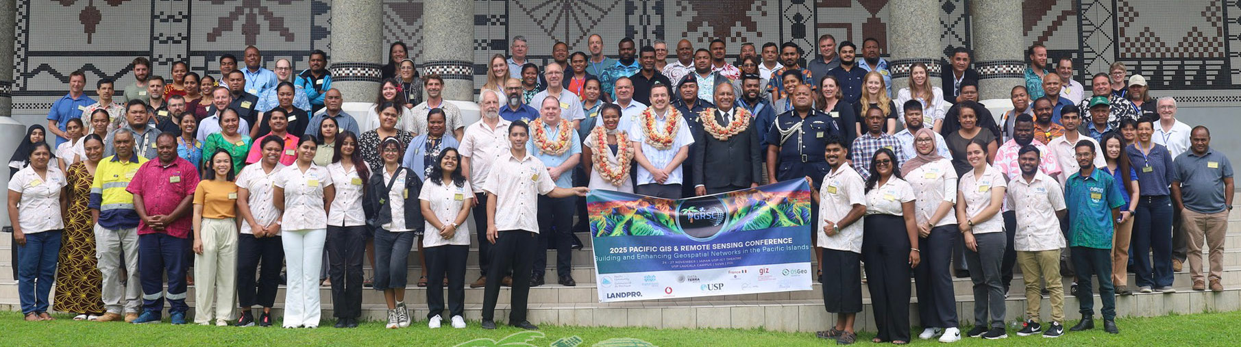
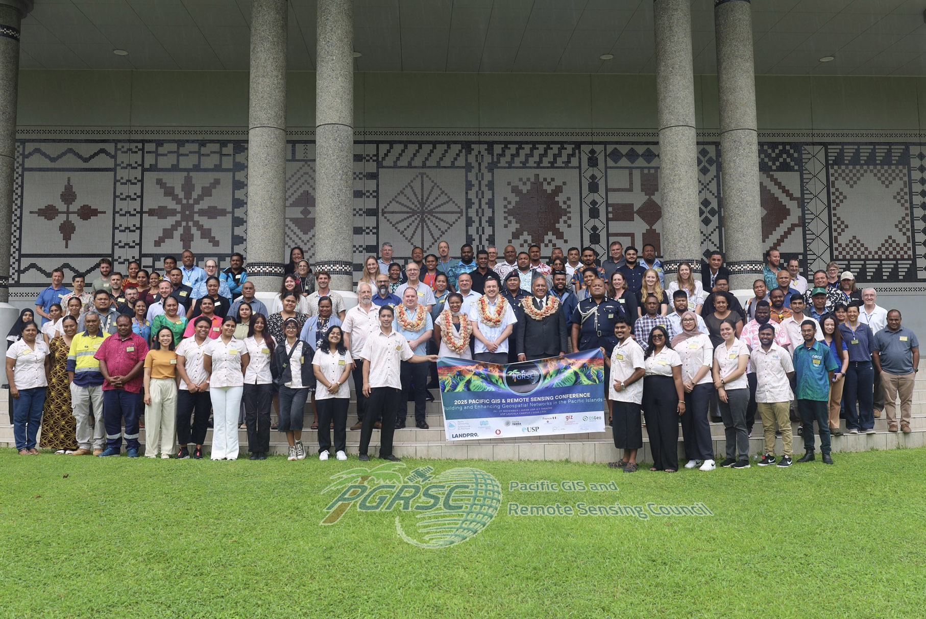
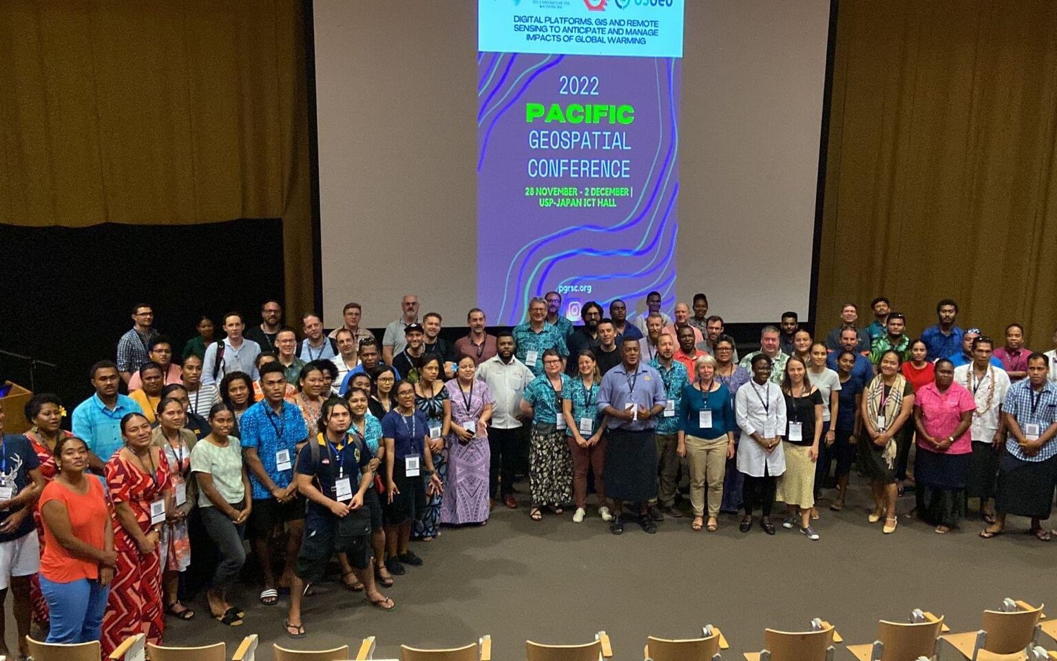
Today, the conference is reputably the largest GIS and Remote Sensing Conference attended by Pacific Islanders leveraging this annual opportunity to network and pursue partnerships with practitioners from around the globe. The conference spotlights latest innovative technologies, promotes knowledge and capacity development and sharing of best practices, gathering over 300 attendees annually.
The Pacific Island GIS and Remote Sensing Conference warmly invites you to share this opportunity and hear from Pacific Island users present highlights of their work aligned to governmental targets, and meet with our network of regional and global experts, sharing best practices and knowledge in applications relevant for the Pacific. Save the date and register to join our series of presentations, workshops, and networking events.
Why attend?
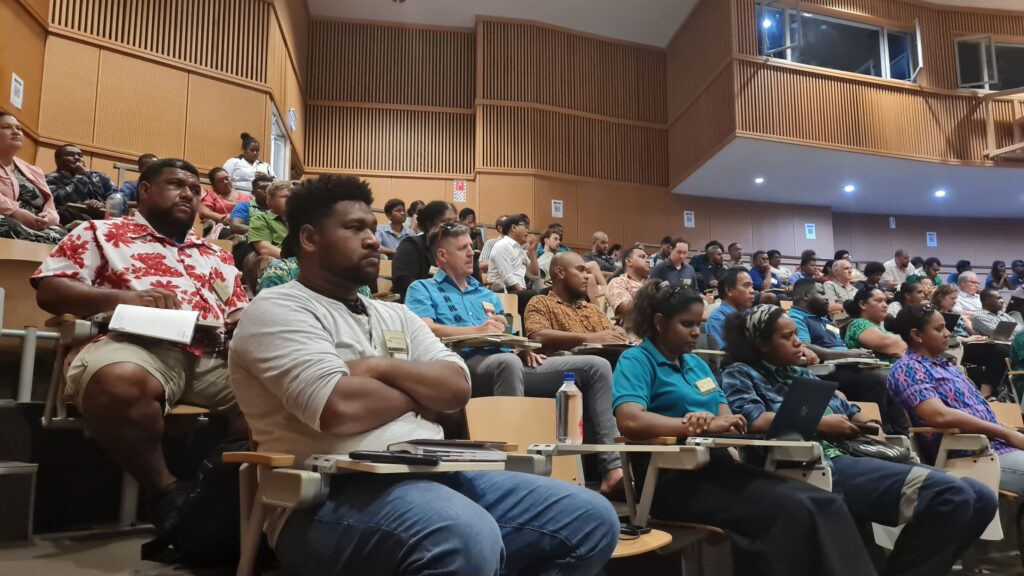
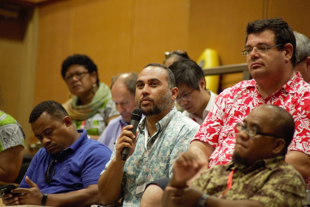
The Pacific GIS & RS Conference is the largest gathering of Pacific Island Users and our network of regional and international stakeholders to share experiences and knowledge in developing and using GIS and Remote Sensing tools and products. Over 300 participants register each year and look forward to the range of presentations, workshops, and social events such as the APSEA awards accorded at the conference closing cocktail.
Social Activities
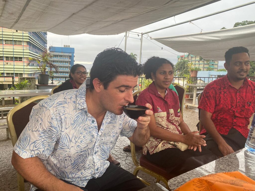
A range of social activities are offered throughout the conference week, from the opening cocktail to the pub crawl, concluding with the infamous Sandbank Picnic on Saturday. These opportunities allow participants to enjoy downtime through informal networking events.
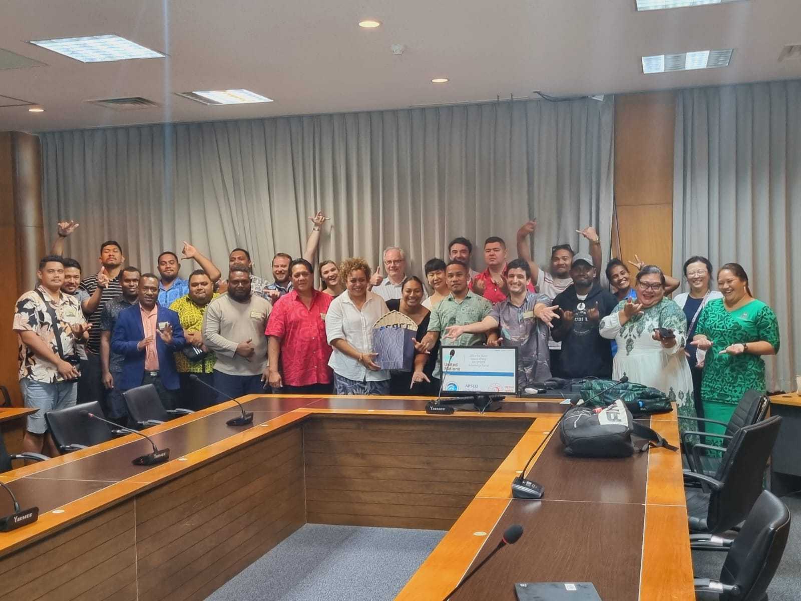
Workshops
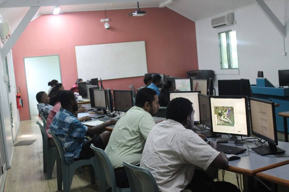
Workshops are held at the end of the conference week, by spatial industry regional and global experts. These workshops always prove to be a popular and important activity during the conference. Workshops are held concurrently and usually at the SPC, Geoscience Division Campus in Nabua and at the University of the South Pacific, Laucala Campus.
2026 Conference Sponsors: